Curated by PaddleWays
RouteClass II–III
- Distance
- 14.8 mi
- Paddle time
- ~3.5 hrs
- Best for
- Intermediate paddlers, experienced paddlers
- Put-in → take-out
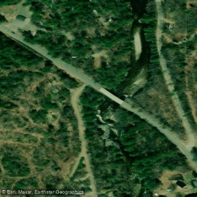
- Route 17 Bridge → Androscoggin River Boat Ramp
Lower Falls requires careful scouting
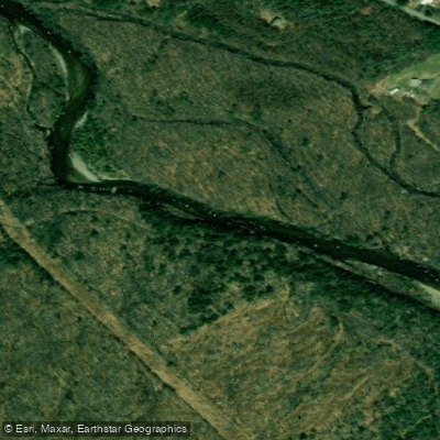
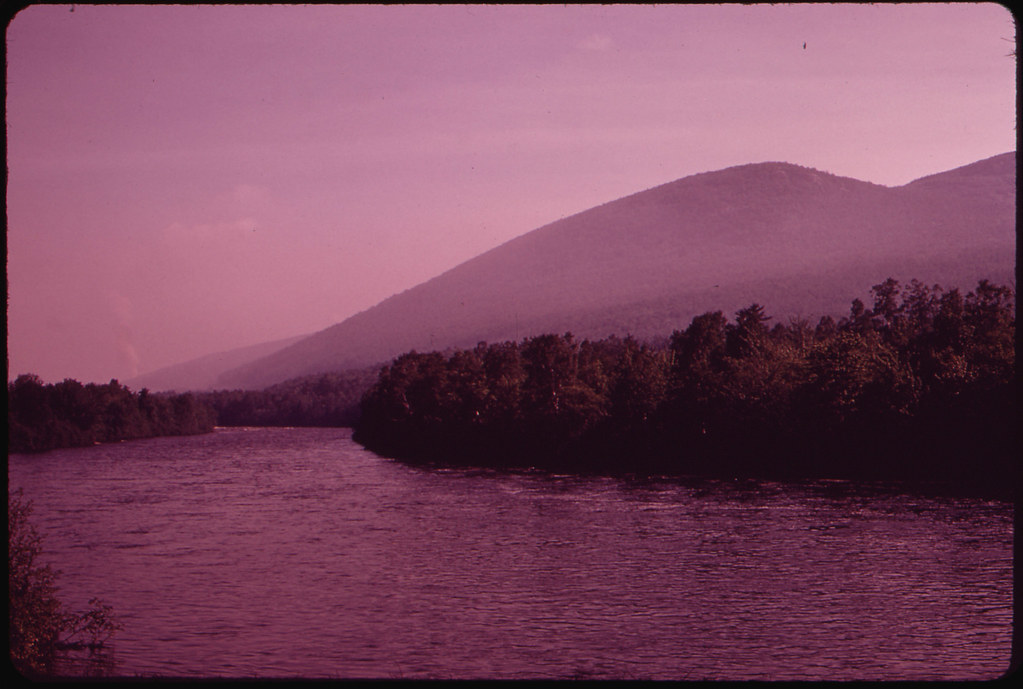
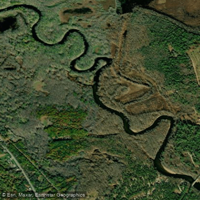
The Swift River in Maine is a dynamic waterway that originates in the western part of the state, flowing generally southeastward through Oxford County. This river system is a significant tributary of the Androscoggin River, joining it near the town of Mexico. The Swift River carves its way through the rugged terrain of western Maine, creating a picturesque valley and offering paddlers a thrilling whitewater experience.
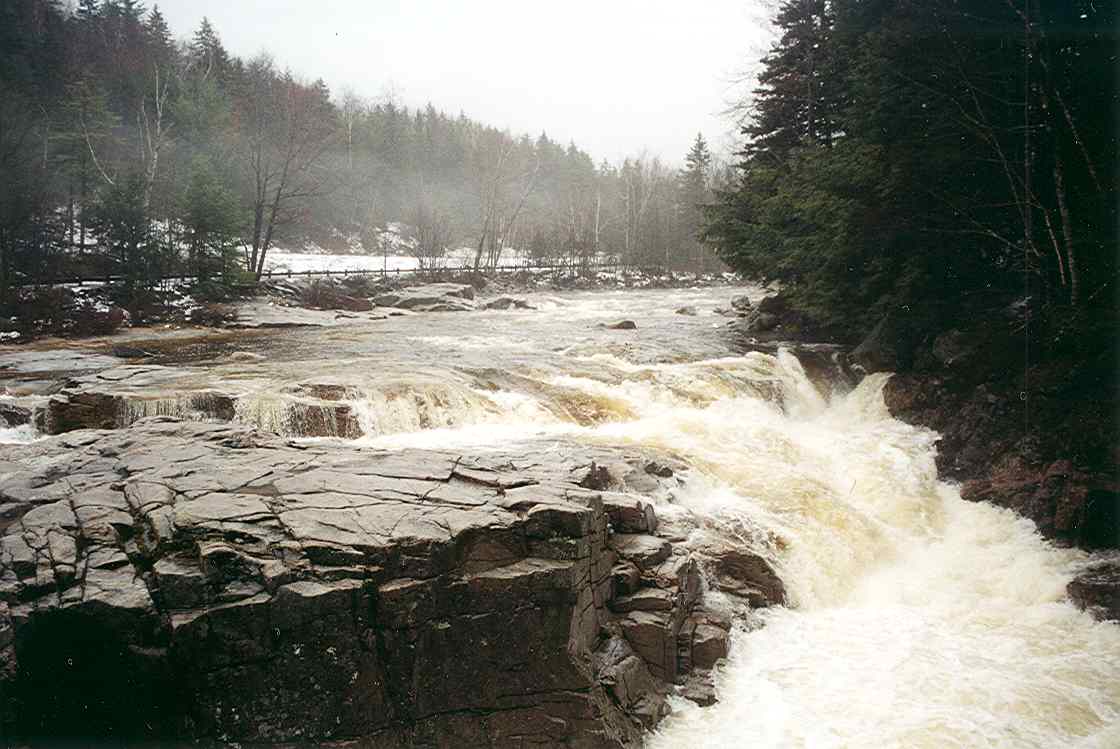
The most popular paddling section runs approximately 10 miles from the Route 17 Bridge to Mexico, featuring Class II-III rapids that challenge intermediate to experienced paddlers. This stretch is characterized by a pool-drop style, with alternating calm sections and technical rapids. Lower Falls stands out as a notable feature, requiring careful scouting and skilled maneuvering.
The Swift River's difficulty varies seasonally, with spring snowmelt typically providing the most reliable flows for whitewater enthusiasts. Late spring to early summer is often considered the prime paddling season, though the river can be run into the fall when water levels permit. Winter snowfall can add an extra dimension of beauty and challenge to early season runs.
The river corridor supports a diverse ecosystem, with mixed hardwood and conifer forests lining its banks. Wildlife sightings may include deer, moose, and various bird species. The surrounding landscape showcases the raw beauty of Maine's western mountains.
Key access points include the put-in at the Route 17 Bridge and the take-out in Mexico. Nearby towns like Rumford and Dixfield offer services for paddlers planning their trips. The river's proximity to these communities makes it an accessible day trip for many, while its challenging nature ensures it remains a respected run among whitewater enthusiasts.
Historically, the Swift River played a role in Maine's logging industry, with its waters used to transport timber. Today, it serves as a recreational asset, drawing paddlers and anglers to its waters.
Safety is paramount on the Swift River. Paddlers should be prepared for cold water conditions, even in summer, and always wear appropriate safety gear. Scouting unfamiliar rapids, especially Lower Falls, is essential. Water levels can change rapidly, so checking current conditions before launching is crucial.
While primarily known for day trips, the Swift River's connection to the larger Androscoggin watershed offers potential for multi-day expeditions for those looking to explore more of Maine's river systems. The Swift River embodies the spirit of Maine's whitewater heritage, offering a challenging and rewarding paddling experience set against the backdrop of the state's rugged western region.
Curated routes
Hand-picked by the PaddleWays team, with put-ins, take-outs, paddle times and the hazards along the way.
RouteClass II–III
Hazards
No paddler has reported a hazard here yet, so these are the dams, falls and big rapids on our map. Hazards change with flows and storms, so check them before you launch.
From the community
Nobody has shared a trip on Swift River yet. Paddle it, then tell the next paddler how it went.
See exactly where the public can get on and off the river. Launch points and boat ramps are paired with PaddleWays' public land data so you know where you can legally land.
Public shoreline
3%of the river's shoreline is public
Most of the riverbank is private. Launch, land and camp only at public access points.
Flows, weather and a route-by-route verdict, so you know which stretch of the Swift River is worth paddling today.
All Flow Stations
Live flows, marked hazards and fresh trip reports from paddlers who were just on the water, all in one place.





Every user gets free access to launch points, boat ramps, and public property parcels.

Loading popular cities...
PaddleWays gives you everything you need to plan smarter, paddle better, and own every trip from first launch to takeout.