The Basin
The Basin
- Boat Ramps
- 1
- Access Points
- 2
- Campsites
- 0
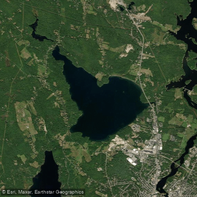
The Basin, also known as Lake Auburn, is a 107-acre water body located in Androscoggin County, Maine, off Route 4. This reservoir serves as a public water supply owned and maintained by the Lake Auburn Watershed Protection Committee, which places certain restrictions on recreational use. While body contact with the water is prohibited due to its role as drinking water supply, kayaking, canoeing, and small motorboats are permitted, making it an accessible paddling destination for those seeking a tranquil experience.
The Basin offers a relatively peaceful paddling environment with scenic views, particularly stunning at dusk when the unobstructed sunset creates memorable moments on the water. The public launch area provides convenient access, with a small dock adjacent to the boat ramp where paddlers can launch and organize their gear. A second notable access point exists at the picnic area located off Lake Shore Drive, where wooden benches and tables overlook the water, providing an excellent spot for pre- or post-paddle relaxation.
The lake supports diverse fish populations including largemouth bass, smallmouth bass, yellow perch, chain pickerel, lake trout, and various sunfish species, making it popular among anglers. Paddlers may observe fishing activity throughout the paddling season, particularly in the far reaches of the Basin accessible by kayak or canoe.
The character of The Basin emphasizes tranquility and natural beauty, with opportunities for reflection and stress relief frequently cited by visitors. The combination of manageable size, scenic surroundings, and seasonal foliage—particularly spectacular in fall—creates an appealing paddling destination for both local residents and visitors to the Auburn area. Further down Lake Shore Drive, paddlers can find Taber's Restaurant, offering dining options with views of the water. Given its public water supply status, paddlers should respect all posted regulations and avoid any body contact with the water while enjoying this accessible Androscoggin County paddling resource.
Water access, boat ramps & amenities
Learn how to get on The Basin. Uncover great paddling access points, boat ramps, and all the facilities you need for an unforgettable day on the water. Some locations shown may border or include private property. Always check property boundaries and applicable regulations before visiting. PaddleWays's Public & Private Land layer can help you plan your access with confidence.
Paddle smarter with real-time insights
Whether you're en route and conditions shift or you're looking for the best spot based on current flows, we enable you to make informed decisions on the fly.








Find Places to Paddle

Over 400,000 Places to Paddle
Every user gets free access to launch points, boat ramps, and public property parcels.


Water and weather conditions (10 day forecast)
See the best times to paddle The Basin and check the forecast before you go.
No forecast data available.
Paddling near The Basin
Androscoggin River
Kennebec River
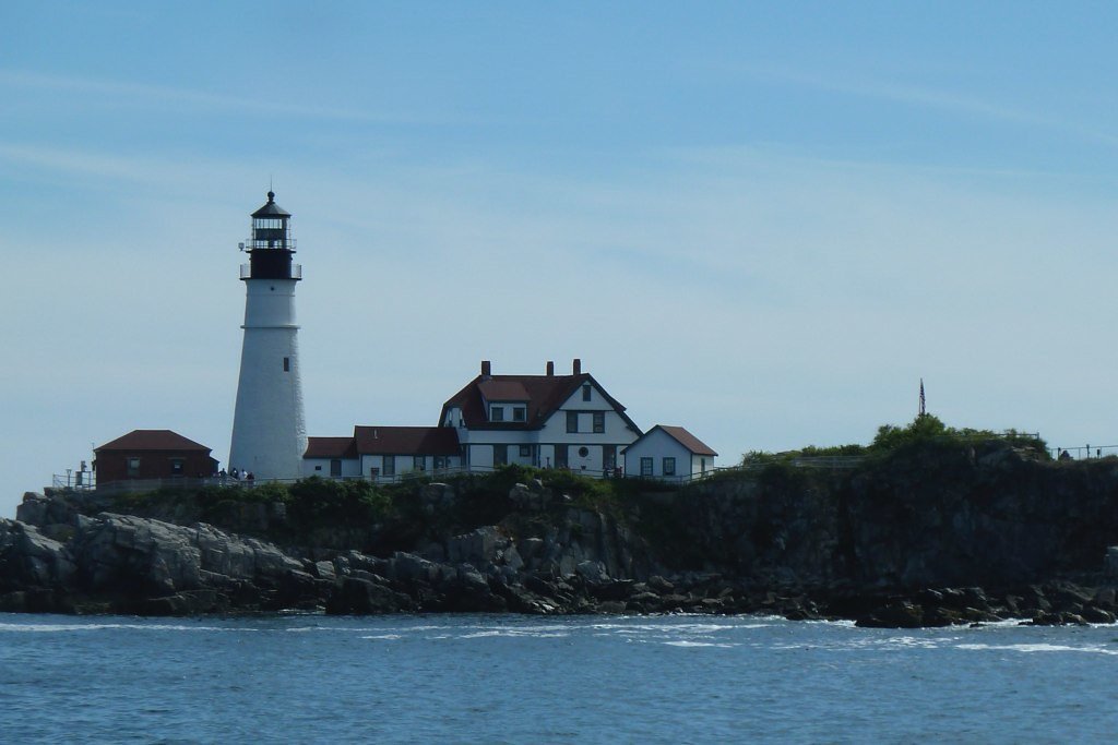
Casco Bay
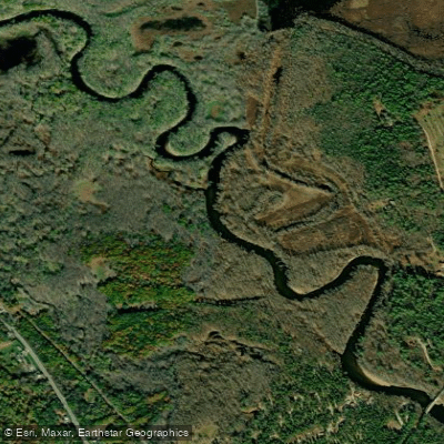
Saco River
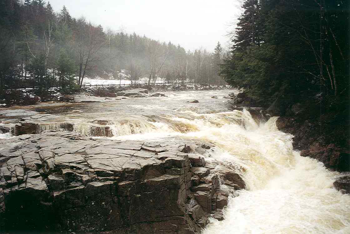
Swift River
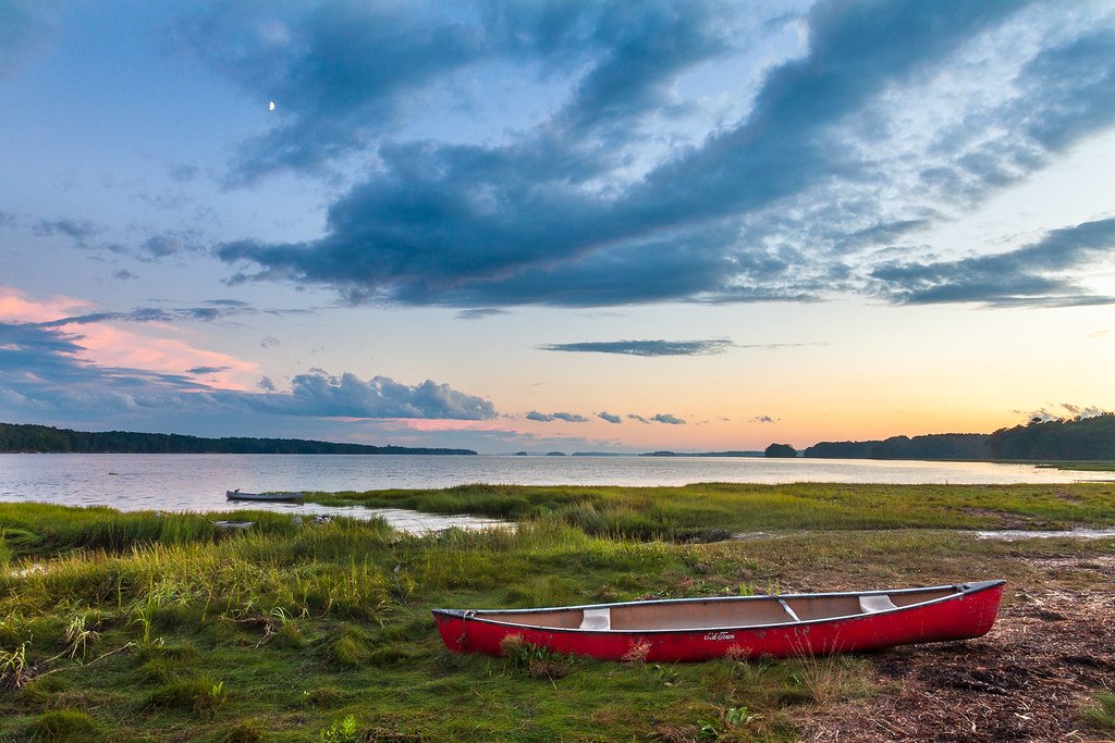
Maquoit Bay
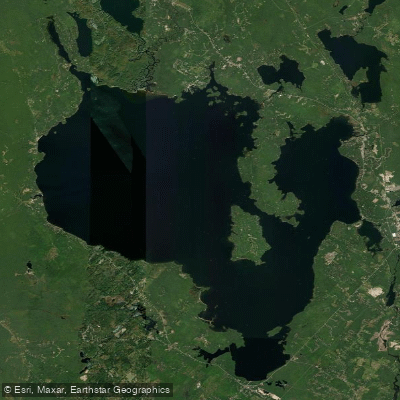
Sebago Lake
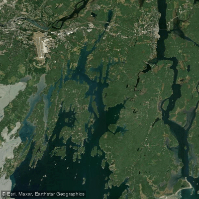
New Meadows River
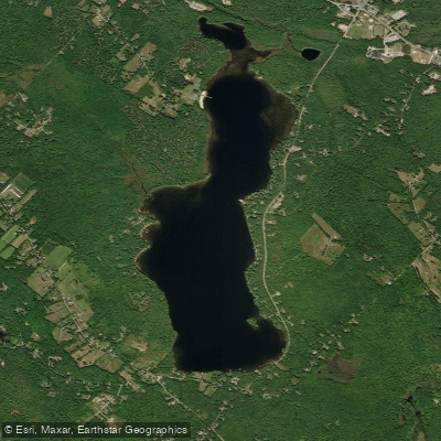
Tripp Pond
Explore Maine waters
Top paddling waters
Popular Cities
Loading popular cities...
Explore near The Basin
Access points
Nearby waters
More in Maine

Smarter Paddling Starts in the App.
Paddleways gives you everything you need to plan smarter, paddle better, and own every trip from first launch to takeout.