Maquoit Bay
- Saltwater
- Bay
Maquoit Bay
- Saltwater
- Bay
- Sq. miles
- 3.7
- Boat Ramps
- 1
- Access Points
- 0
- Campsites
- 0
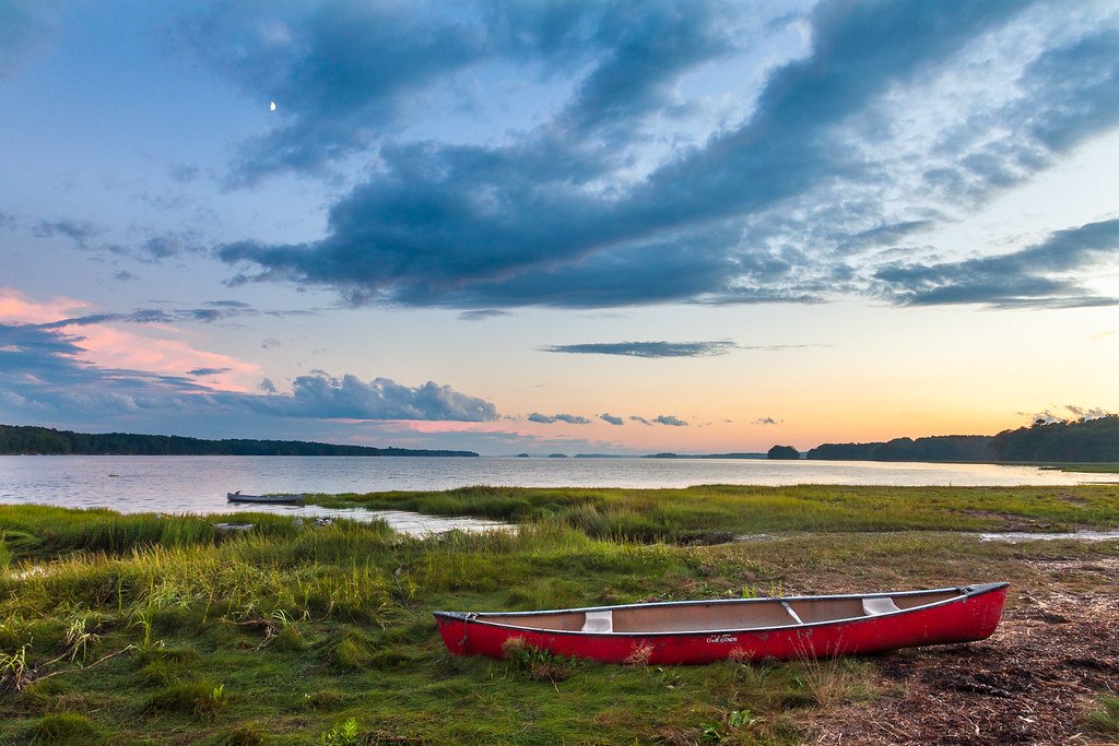
Maquoit Bay is a shallow, tidal bay on the upper reaches of Casco Bay near Brunswick, Maine. Its waters are tranquil and mellow, with a soft, southern shoreline characterized by eel grass and egrets. The bay is tide-dependent for paddling, with thin waters that become extensive clam flats at low tide. Paddlers are advised to use the top half of the tide for exploration. The primary public launch for the bay is Wharton Point, also listed as Maquoit Landing, which is a half-tide gravel launch site. Two other older launch ramps in the area, at Simpson Point and Lookout Point, are being significantly limited. A deeper-water alternative is the Mere Point Boat Launch, which provides all-tide access to the northern part of Casco Bay approximately six miles from Brunswick's south end. The bay's shallowness results in a dearth of lobster traps and larger boat traffic, though keeled yachts can anchor in the deep channels. Notable destinations within the bay include the Maquoit Bay Conservation Land, a 124-acre preserve with a trail leading to Rocky Point, a rocky promontory offering coastal vistas and a place to swim in the warm, shallow bay at high tide. The preserve features freshwater streams transitioning to saltmarsh, providing significant habitat for wading birds and waterfowl. Crow Island, managed by the Harpswell Heritage Land Trust, is another quiet destination for picnicking and birding. Paul's Marina on the bay offers a dock-and-dine opportunity for boaters. The area is popular for birdwatching, and wildlife sightings include great blue herons, egrets, and various waterfowl.
Water access, boat ramps & amenities
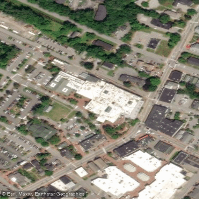
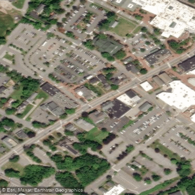
Learn how to get on Maquoit Bay. Uncover great paddling access points, boat ramps, and all the facilities you need for an unforgettable day on the water. Some locations shown may border or include private property. Always check property boundaries and applicable regulations before visiting. PaddleWays's Public & Private Land layer can help you plan your access with confidence.

Paddle smarter with real-time insights
Whether you're en route and conditions shift or you're looking for the best spot based on current flows, we enable you to make informed decisions on the fly.








Find Places to Paddle

Over 400,000 Places to Paddle
Every user gets free access to launch points, boat ramps, and public property parcels.


Tides, wind & water conditions (10 day forecast)
On open water, wind and tide matter as much as the weather. See the best times to paddle Maquoit Bay and check the marine forecast before you launch.
Loading tide predictions…
Paddling near Maquoit Bay
Saco River
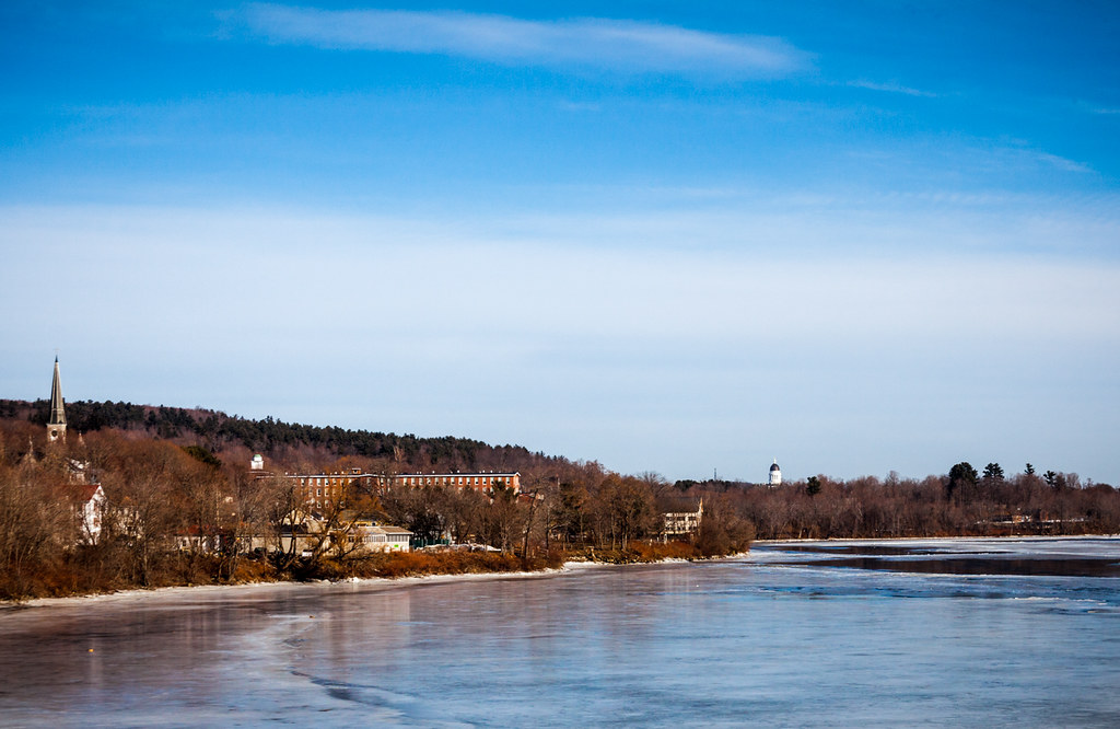
Kennebec River
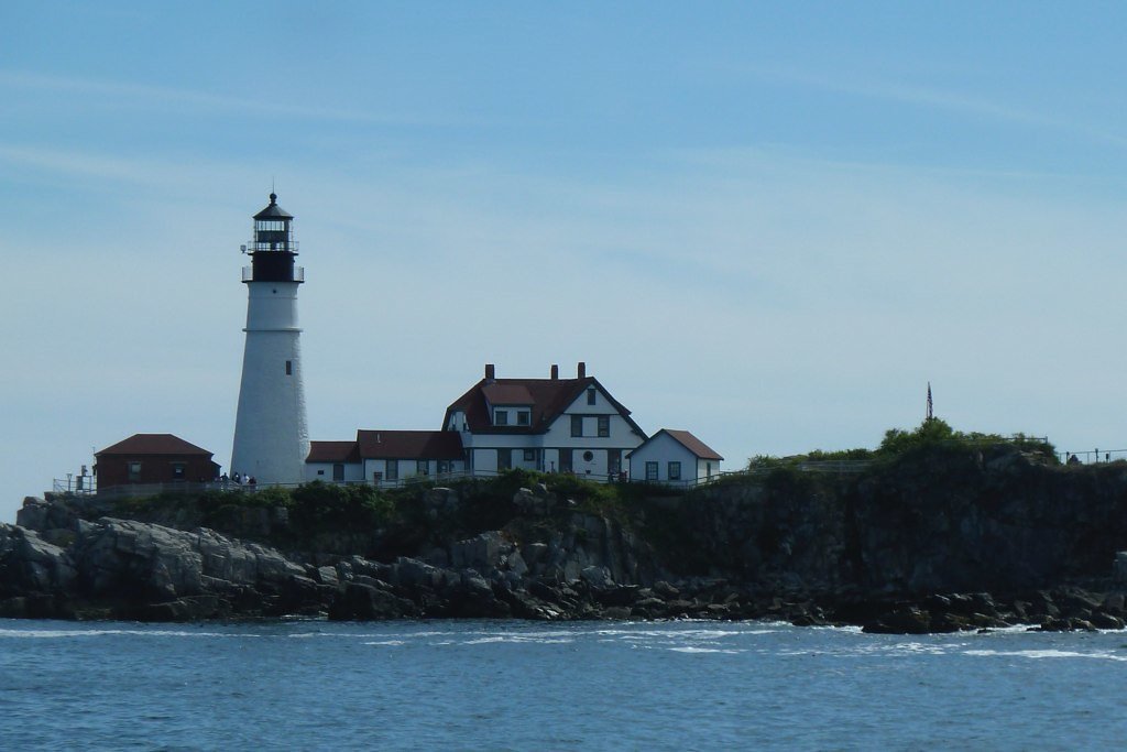
Casco Bay
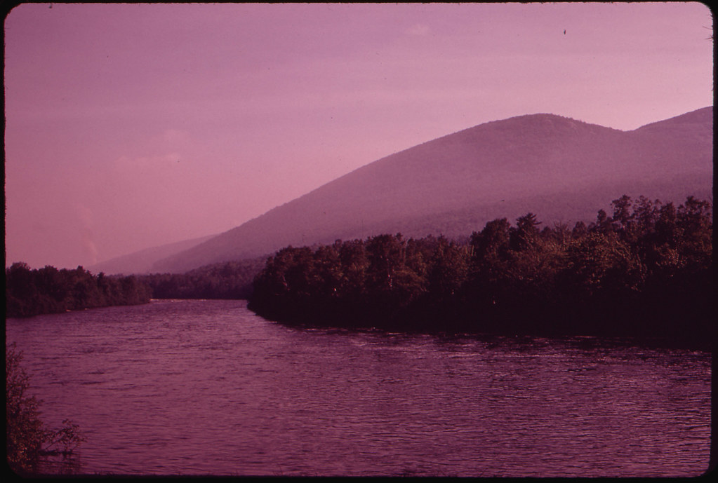
Androscoggin River
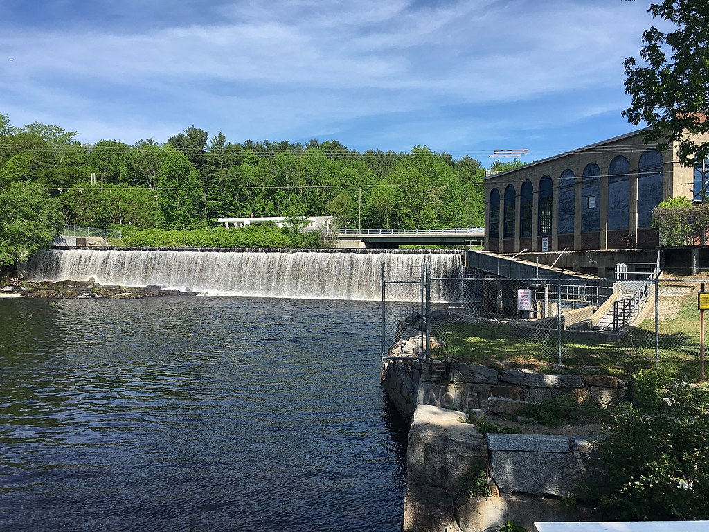
Salmon Falls River
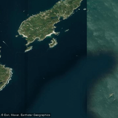
Hussey Sound
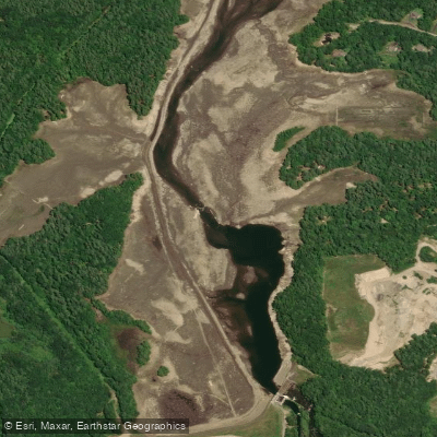
Presumpscot River
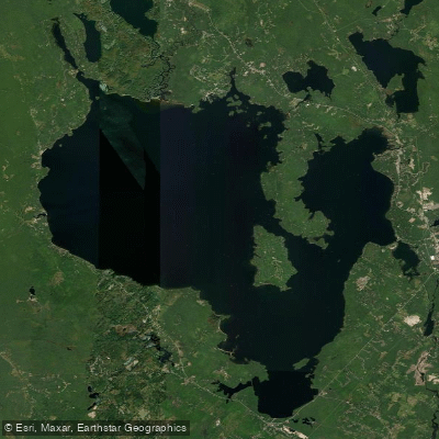
Sebago Lake
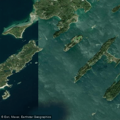
Luckse Sound
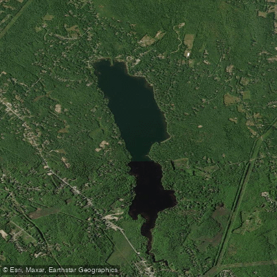
Highland Lake
Explore Maine waters
Top paddling waters
Popular Cities
Loading popular cities...
Explore near Maquoit Bay
Access points
Nearby waters
More in Maine

Smarter Paddling Starts in the App.
Paddleways gives you everything you need to plan smarter, paddle better, and own every trip from first launch to takeout.