Swift River
Swift River
- Boat Ramps
- 0
- Access Points
- 10
- Campsites
- 16
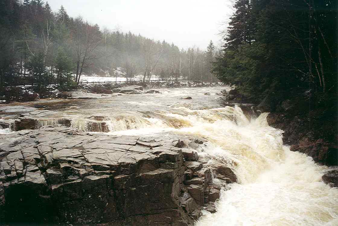
The Swift River originates near Kancamagus Pass in the White Mountain National Forest, flowing eastward for approximately 25.6 miles through Grafton and Carroll Counties before joining the Saco River in Conway. This freestone river descends over 2,400 feet through its course, creating a dynamic waterway that transitions from remote mountain headwaters to more accessible lower sections along the Kancamagus Highway (Route 112).
The upper reaches, beginning near Livermore in Grafton County, harbor native brook trout populations in cold, clear waters fed by mountain tributaries. These headwater sections require hiking to access and flow through pristine national forest lands. As the river progresses eastward into Carroll County, it gains volume and power, creating the whitewater sections that attract paddlers from across the region.
Paddling opportunities range dramatically across the river's length. The Bear Notch Road to Rocky Gorge section offers 4 miles of Class I-III water suitable for intermediate paddlers, with relatively forgiving conditions and scenic forest surroundings. Downstream, the Rocky Gorge to Lower Falls stretch intensifies to Class III-IV over 2.6 miles, demanding solid technical skills. The most challenging section, Lower Falls to Darby Field sign, presents Class IV(V) whitewater across 5.35 miles, featuring complex rapids, tight channels, and powerful hydraulics that test experienced kayakers.
The river's season typically runs from late April through October, with peak flows during spring snowmelt (May-June) providing the most exciting conditions. Summer offers more moderate flows, though water temperatures can rise significantly by late August, particularly in lower sections. Fall brings spectacular foliage viewing opportunities along the river corridor.
The Swift River watershed supports diverse wildlife including moose, white-tailed deer, black bears, and numerous bird species. The riparian zones feature mixed hardwood-conifer forests with paper birch, sugar maple, hemlock, and white pine. Native brook trout thrive in colder upper sections, while the lower river receives stocked rainbow and brown trout.
Rocky Gorge Scenic Area serves as a major landmark and access point, featuring a dramatic narrow gorge with cascading water accessible via short paved trails. Lower Falls provides another popular access point with parking facilities. The Albany Covered Bridge crosses the river approximately 2 miles downstream from Lower Falls, offering a historic landmark along the paddling route.
Access points concentrate along Route 112, with parking areas at Bear Notch Road, Rocky Gorge, and near Conway. The White Mountain National Forest requires parking passes at most trailheads. Swimming is prohibited at Rocky Gorge following a 1942 incident, though other sections allow swimming when conditions permit. Water levels fluctuate significantly with rainfall and seasonal patterns, requiring paddlers to assess conditions carefully before launching.
Water access, boat ramps & amenities
Learn how to get on Swift River. Uncover great paddling access points, boat ramps, and all the facilities you need for an unforgettable day on the water. Some locations shown may border or include private property. Always check property boundaries and applicable regulations before visiting. PaddleWays's Public & Private Land layer can help you plan your access with confidence.
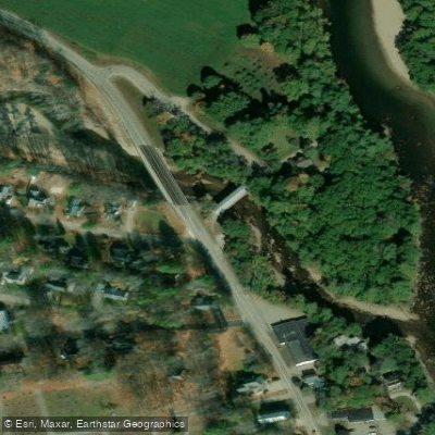
Swift River Bridge Access
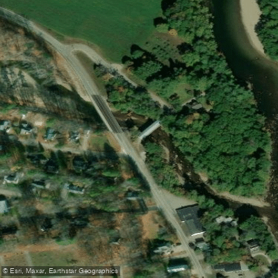
Swift River Bridge Access
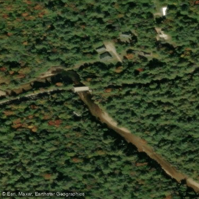
Bear Notch Road Access
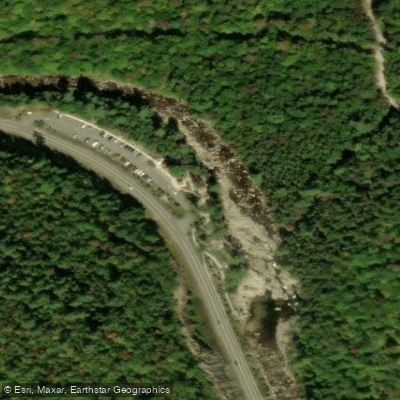
Lower Falls Scenic Area Access
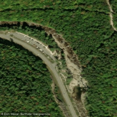
Lower Falls Scenic Area Access
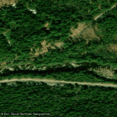
Dugway Picnic Area Access
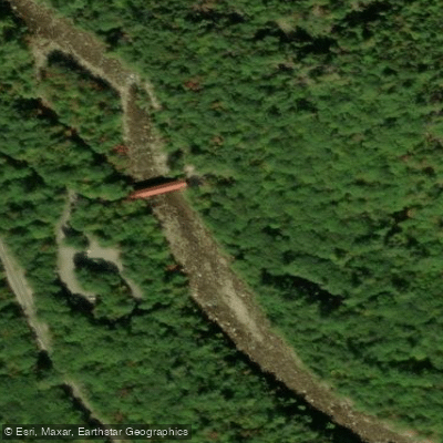
Albany Covered Bridge Access
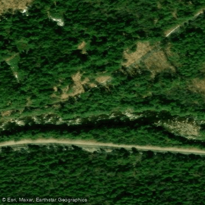
Dugway Picnic Area Access
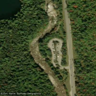
Rocky Gorge Scenic Area Access
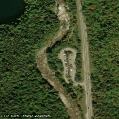
Rocky Gorge Scenic Area Access
Paddle smarter with real-time insights
Whether you're en route and conditions shift or you're looking for the best spot based on current flows, we enable you to make informed decisions on the fly.








Find Places to Paddle

Over 400,000 Places to Paddle
Every user gets free access to launch points, boat ramps, and public property parcels.


Water and weather conditions (10 day forecast)
See the best times to paddle Swift River and check the forecast before you go.
No forecast data available.
Paddling near Swift River
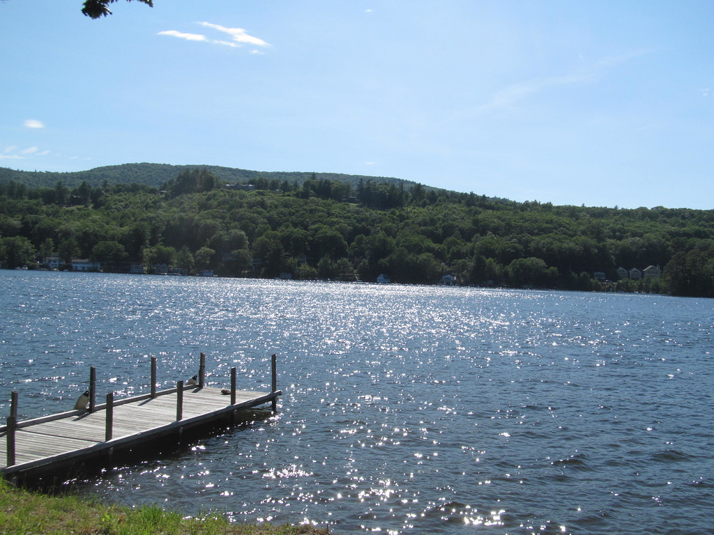
Lake Winnipesaukee
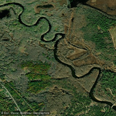
Saco River
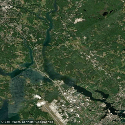
Piscataqua River
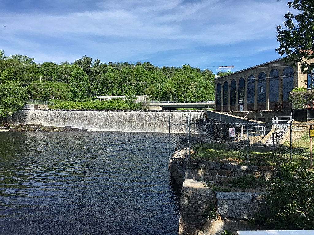
Salmon Falls River
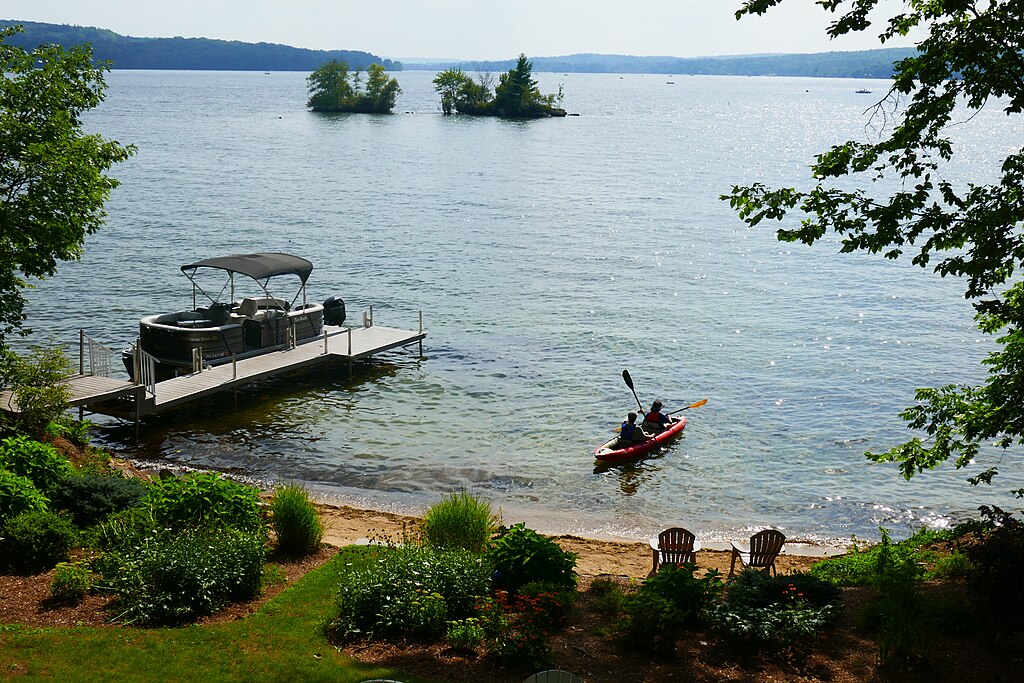
Lake Winnisquam
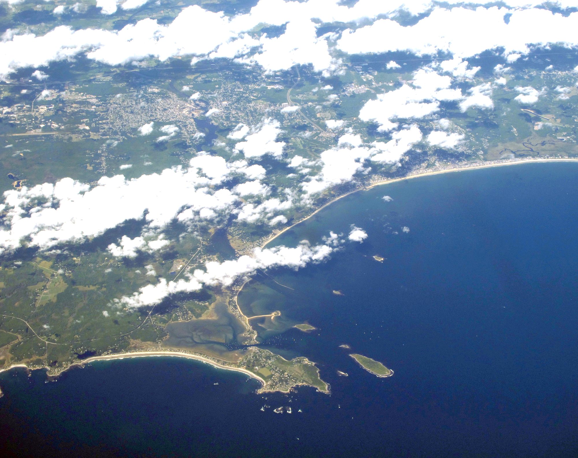
Saco Bay
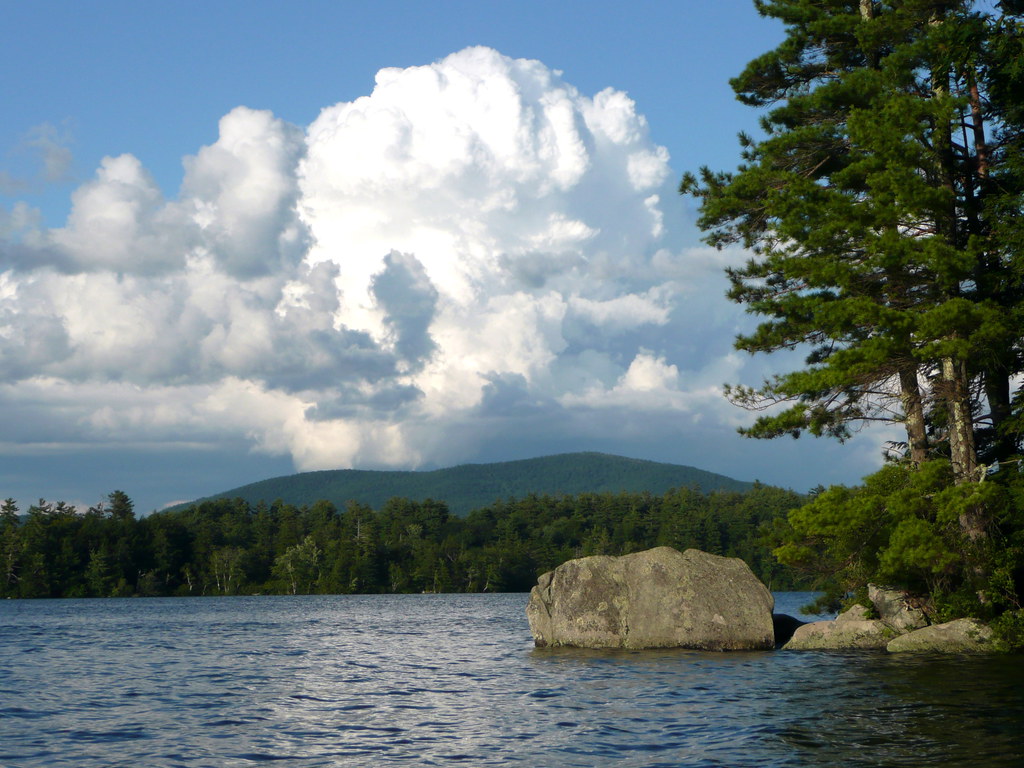
Squam Lake
Lamprey River
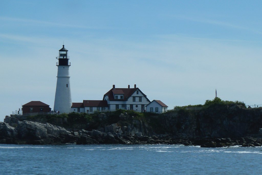
Casco Bay

Merrimack River
Explore New Hampshire waters
Top paddling waters
Popular Cities
Loading popular cities...
Explore near Swift River
Access points
- Swift River Bridge Access
- Swift River Bridge Access
- Bear Notch Road Access
- Lower Falls Scenic Area Access
- Lower Falls Scenic Area Access
- Dugway Picnic Area Access
- Albany Covered Bridge Access
- Dugway Picnic Area Access
- Rocky Gorge Scenic Area Access
- Rocky Gorge Scenic Area Access
- Swift River Bridge
- Swift River Bridge
- All 71 spots
Nearby waters
More in New Hampshire

Smarter Paddling Starts in the App.
Paddleways gives you everything you need to plan smarter, paddle better, and own every trip from first launch to takeout.