Fields Pond
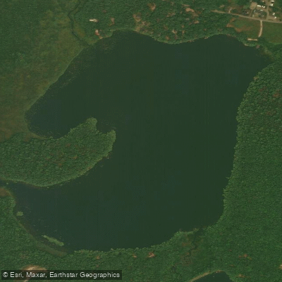
Fields Pond
- Boat Ramps
- 1
- Access Points
- 1
- Campsites
- 0
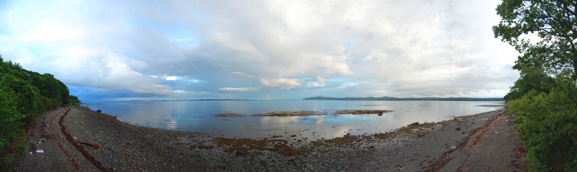
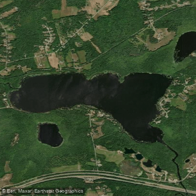
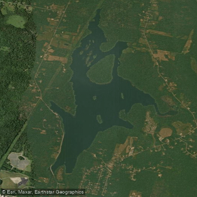
Fields Pond, a 182-acre waterbody located just outside Bangor in East Orrington, Maine, offers an accessible paddling destination suitable for families and nature enthusiasts. The pond features a maximum depth of 31 feet and supports a rich warmwater ecosystem.
The Maine Audubon Society maintains a significant presence here, with 192 acres of protected shoreline and a 22-acre island open to public exploration. Paddlers can access the water via the Fields Pond boat ramp, with an Audubon Center serving as a primary access point. The pond provides calm waters suitable for paddling throughout the ice-free season, typically from late spring through fall.
Wildlife viewing opportunities abound, with beaver and muskrat regularly active in the area. The pond supports a variety of fish species including white perch, chain pickerel, yellow perch, and sunfish. Surface water temperatures can reach 74°F in summer, with temperatures around 71°F at 18-foot depths.
For those interested in guided experiences, local outfitters offer 2-3 hour kayak and canoe trips that include equipment and exploration of both the pond and its island. Paddlers can combine their water activities with hiking on the Audubon Center's trail system, which provides additional perspectives of the waterway.
While Fields Pond has historically served as a popular spot for introducing young anglers to fishing, it maintains its character as a shallow, weedy pond ideal for peaceful paddling excursions. The pond's location near Bangor makes it particularly accessible for day trips, while its protected shoreline helps preserve its natural setting.
Water access, boat ramps & amenities
Learn how to get on Fields Pond. Uncover great paddling access points, boat ramps, and all the facilities you need for an unforgettable day on the water. Some locations shown may border or include private property. Always check property boundaries and applicable regulations before visiting. PaddleWays's Public & Private Land layer can help you plan your access with confidence.
Paddle smarter with real-time insights
Whether you're en route and conditions shift or you're looking for the best spot based on current flows, we enable you to make informed decisions on the fly.








Find Places to Paddle

Over 400,000 Places to Paddle
Every user gets free access to launch points, boat ramps, and public property parcels.


Water and weather conditions (10 day forecast)
See the best times to paddle Fields Pond and check the forecast before you go.
No forecast data available.
Paddling near Fields Pond
Explore Maine waters
Top paddling waters
Popular Cities
Loading popular cities...
Explore near Fields Pond
Access points
Nearby waters
More in Maine

Smarter Paddling Starts in the App.
Paddleways gives you everything you need to plan smarter, paddle better, and own every trip from first launch to takeout.