Pushaw Lake
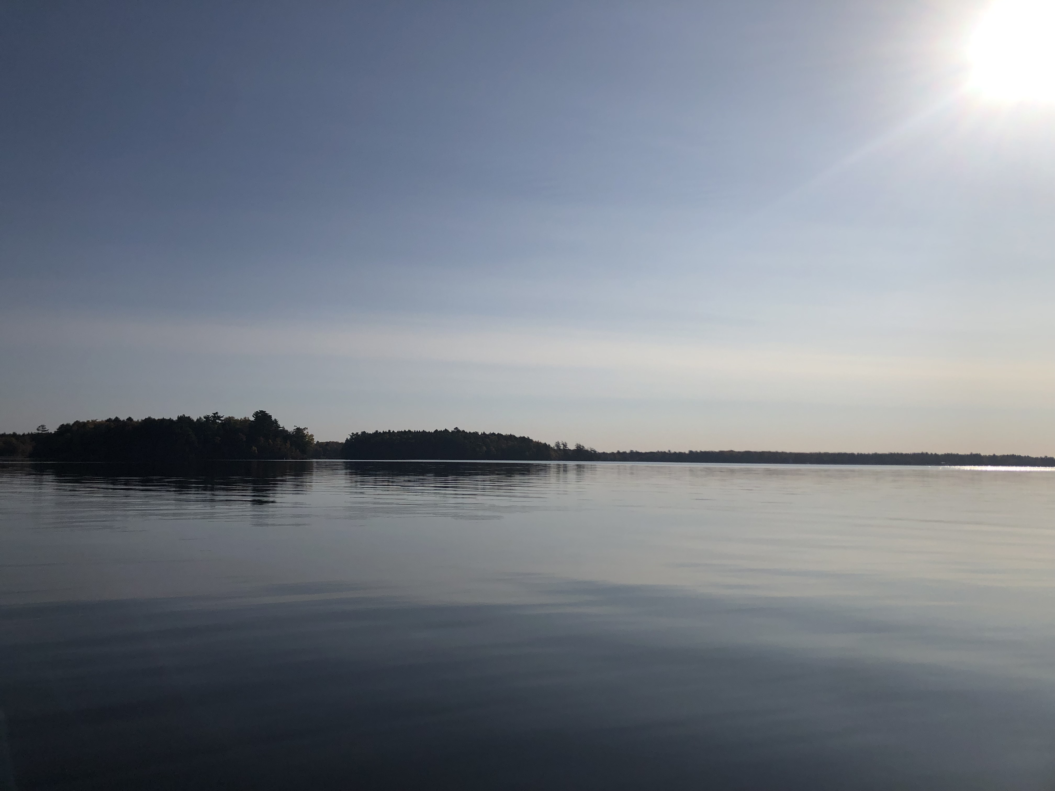
Pushaw Lake
- Boat Ramps
- 1
- Access Points
- 1
- Campsites
- 0
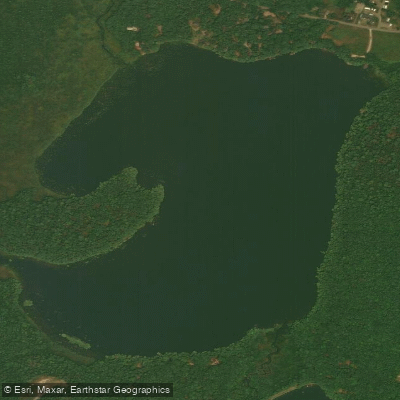
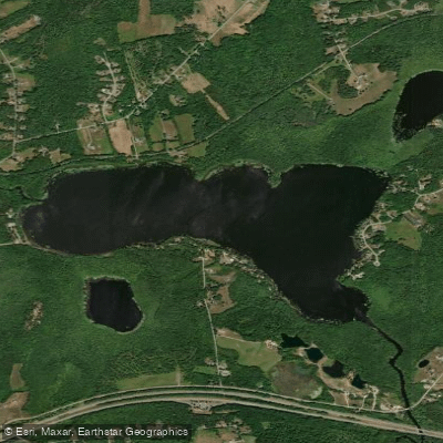
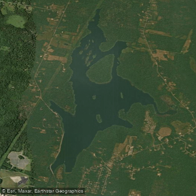
Pushaw Lake in Maine offers paddlers a 7-mile long body of water with several islands to explore. The primary access point is Gould Landing at the end of Essex Street in Orono, which features a boat launch, beach, and parking area. Spring and fall tend to be the least crowded seasons for paddling, with early spring bringing the coldest water and highest levels. Summer and fall see warmer, lower water levels.
A sample 3.5-mile paddle route starts at Gould Landing, heading north past Hemlock Point toward Dollar Island. From there, paddlers can continue to Harwood Island, which has a small gravel beach for rest stops. The eastern shores of the islands often provide wind breaks.
Wildlife sightings are common, including beavers, muskrats, turtles, eagles, herons, loons, and various waterfowl. The lake's southern end features several islands (Mouse, Moose, Hardwood, Dollar) that serve as paddling destinations. Paddlers should be aware of a seaplane base on the southwestern corner at Lucky Landing.
Evening paddles can offer beautiful sunsets, though mosquitoes can be intense as the weather warms. After sunset, paddlers should carry a flashlight for visibility. The lake's 7-mile length provides options for longer excursions. For those seeking more adventure, the northern inlet accessed via Landing Road off Route 43 in Hudson offers additional paddling and birding opportunities.
Pushaw Lake's proximity to Bangor makes it a convenient option for urban paddlers looking for a quick escape. Despite developed shorelines, the lake still offers pockets of solitude and abundant wildlife viewing opportunities.
Water access, boat ramps & amenities
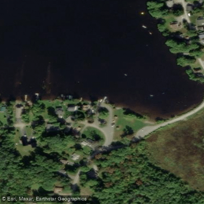
Learn how to get on Pushaw Lake. Uncover great paddling access points, boat ramps, and all the facilities you need for an unforgettable day on the water. Some locations shown may border or include private property. Always check property boundaries and applicable regulations before visiting. PaddleWays's Public & Private Land layer can help you plan your access with confidence.
Paddle smarter with real-time insights
Whether you're en route and conditions shift or you're looking for the best spot based on current flows, we enable you to make informed decisions on the fly.








Find Places to Paddle

Over 400,000 Places to Paddle
Every user gets free access to launch points, boat ramps, and public property parcels.


Water and weather conditions (10 day forecast)
See the best times to paddle Pushaw Lake and check the forecast before you go.
No forecast data available.
Paddling near Pushaw Lake
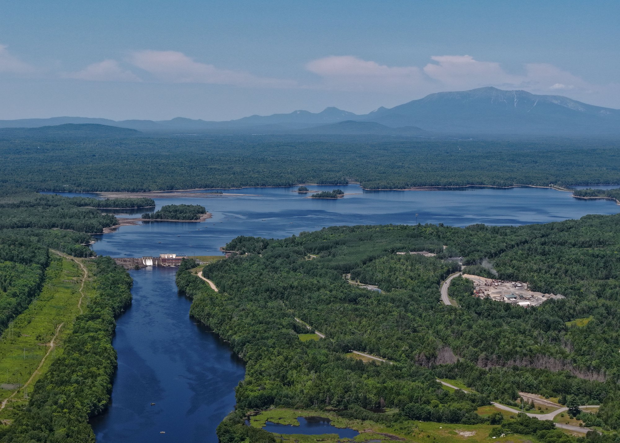
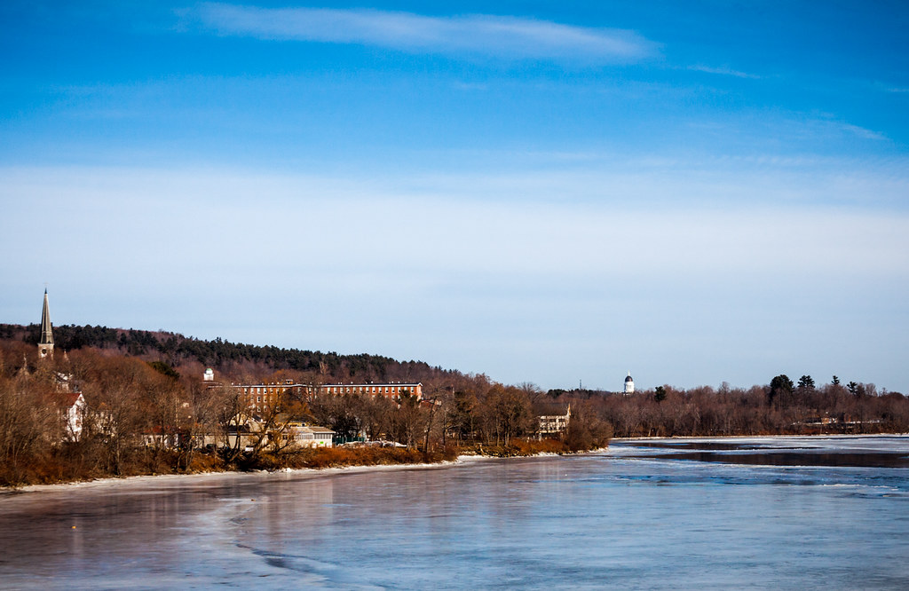
Explore Maine waters
Top paddling waters
Popular Cities
Loading popular cities...
Explore near Pushaw Lake
Access points
Nearby waters
More in Maine

Smarter Paddling Starts in the App.
Paddleways gives you everything you need to plan smarter, paddle better, and own every trip from first launch to takeout.