Penobscot Bay
- Saltwater
- Bay
Penobscot Bay
- Saltwater
- Bay
- Sq. miles
- 267
- Boat Ramps
- 12
- Access Points
- 2
- Campsites
- 3
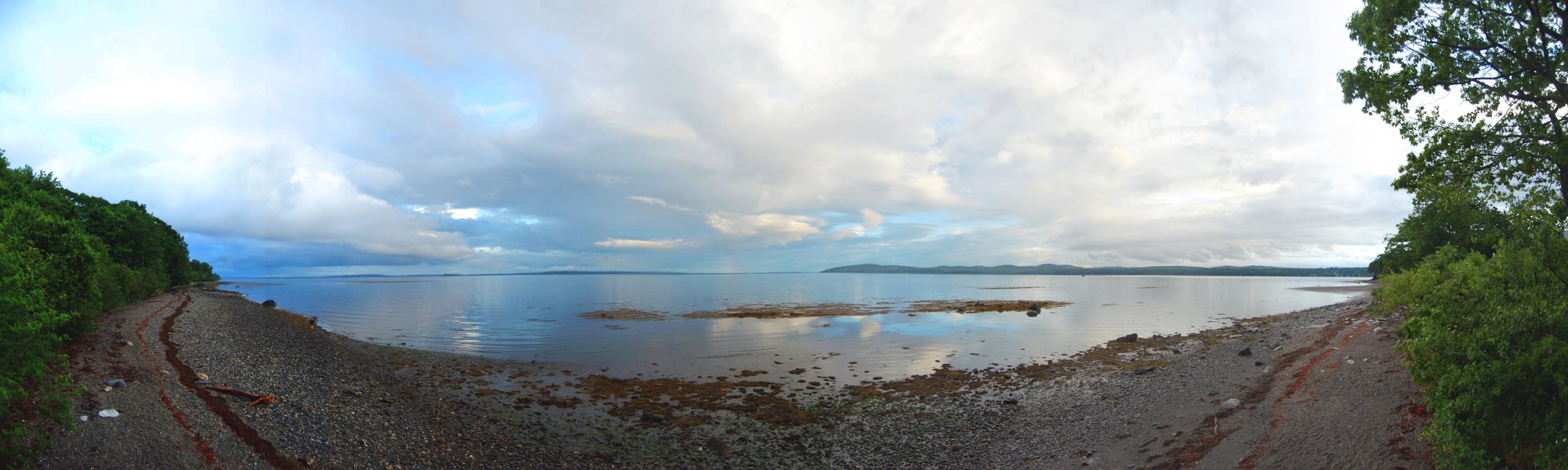
Penobscot Bay is Maine's largest bay, stretching approximately 20 miles from Whitehead Island to Isle Au Haut. The bay is characterized by numerous small islands, rocky shorelines, and coastal villages, forming a central section of the Maine Island Trail. Paddling here involves navigating formidable open-water crossings between islands, though protected waters can be found near harbors like Belfast, Searsport, and Stockton Springs. The bay experiences significant tidal currents, particularly in thoroughfares like the Fox Island Thoroughfare, and paddlers must plan crossings for slack tide or periods with minimal wind to avoid challenging conditions. Water temperatures are cold year-round, necessitating appropriate safety gear and respect for the marine environment.
Public access points are numerous but vary in capacity. Key launch sites include the public boat ramp at Harbor Park in Camden, Steamboat Landing in Camden, the boat ramp at Snow Marine Park in Rockland (which may charge a fee), the Port Clyde Boat Ramp at the end of Route 131, and the Tenants Harbor Town Landing. Other access points exist in South Thomaston, Lincolnville, and Castine. Parking is often limited, especially at popular ramps like Port Clyde when the Monhegan Island ferry is operating. Amenities at launches range from basic boat ramps to facilities with restrooms, docks, and floats.
The bay sees considerable boat traffic, including lobster boats and larger vessels in main channels, so paddlers must maintain vigilance. Wildlife sightings may include harbor seals, grey seals, harbor porpoises, bald eagles, ospreys, common loons, and various seabirds. The scenery is exceptional, featuring historic lighthouses like the Rockland Breakwater Light and Curtis Island Light, as well as the undeveloped Sears Island. Guided tours are available from outfitters in Castine, Camden, and Rockland, offering instruction and route planning for those less experienced with the bay's exposed crossings and tidal forces. The best time for paddling is generally during the summer months from June through August.
Water access, boat ramps & amenities
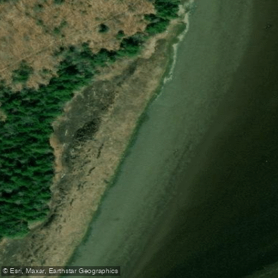
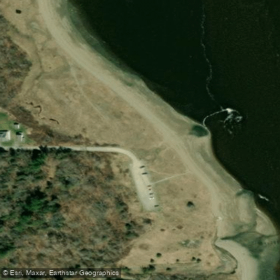
Learn how to get on Penobscot Bay. Uncover great paddling access points, boat ramps, and all the facilities you need for an unforgettable day on the water. Some locations shown may border or include private property. Always check property boundaries and applicable regulations before visiting. PaddleWays's Public & Private Land layer can help you plan your access with confidence.
Paddle smarter with real-time insights
Whether you're en route and conditions shift or you're looking for the best spot based on current flows, we enable you to make informed decisions on the fly.








Find Places to Paddle

Over 400,000 Places to Paddle
Every user gets free access to launch points, boat ramps, and public property parcels.


Tides, wind & water conditions (10 day forecast)
On open water, wind and tide matter as much as the weather. See the best times to paddle Penobscot Bay and check the marine forecast before you launch.
Loading tide predictions…
Paddling near Penobscot Bay
Penobscot River
Union River
Blue Hill Bay
Long Pond
Narraguagus River
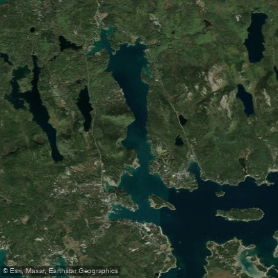
Somes Sound
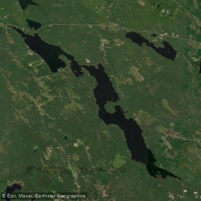
Toddy Pond
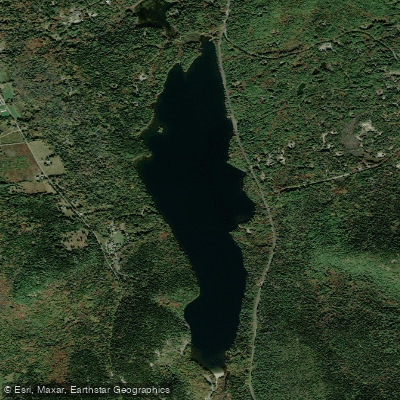
Echo Lake

Frenchman Bay
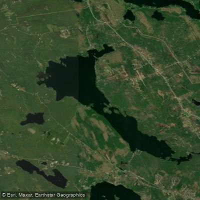
Branch Lake
Explore Maine waters
Top paddling waters
Popular Cities
Loading popular cities...
Explore near Penobscot Bay
Access points
- Stockton Harbor Boat Ramp
- Weskeag River Boat Ramp
- Belfast Bay Boat Ramp
- Penobscot River Boat Ramp
- West Penobscot Bay Boat Ramp
- Penobscot Bay Boat Ramp
- Penobscot River Boat Ramp
- Searsport Harbor Boat Ramp
- Penobscot River Boat Ramp
- Rockland Harbor Boat Ramp
- Rockport Harbor Boat Ramp
- Gilkeys Harbor Boat Ramp
- All 72 spots
Nearby waters
More in Maine

Smarter Paddling Starts in the App.
Paddleways gives you everything you need to plan smarter, paddle better, and own every trip from first launch to takeout.