Bagaduce River
- Saltwater
- Estuary
Bagaduce River
- Saltwater
- Estuary
- Sq. miles
- 9.7
- Boat Ramps
- 2
- Access Points
- 0
- Campsites
- 0
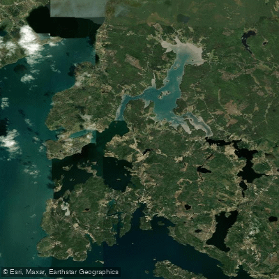
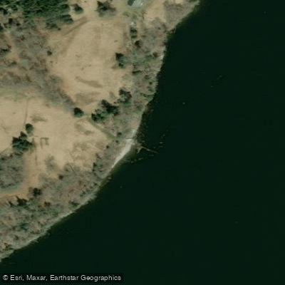
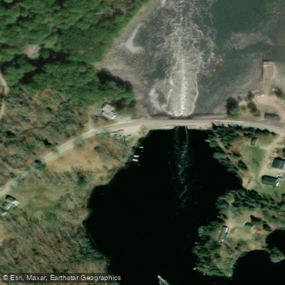
The Bagaduce River is a tidal estuary in Penobscot Bay, Maine, characterized by its significant tidal range and reversing currents. Paddling here requires careful attention to the tide schedule, as many access points are only usable at certain tide stages. The South Penobscot boat ramp, for example, can only be used at half-tide or higher. The river features reversing falls and areas of strong, unpredictable currents, particularly noted near the Ferry Landing Natural Area and beneath the Bagaduce Falls bridge, where currents can create formidable wave trains. The estuary's seabed is a mix of mudflats, rocky shoals, and kelp beds, presenting navigational challenges even for shallow-draft craft. Wind exposure can be significant on open sections like Northern Bay, where a 10-knot breeze can create small whitecaps. The river is dotted with islands, including Winslow Island, Ram Island, and Hospital Island, and its shores border the Holbrook Island Sanctuary, which offers over seven miles of hiking trails and a canoe/kayak launch. Wildlife includes seal colonies, great blue herons, bald eagles, and osprey. Several public access points exist, including a carry-in boat ramp in Brooksville classified as a part-tide ramp, the Ferry Landing Natural Area which is a carry-in site with limited parking for two vehicles, and the Penobscot Town Landing. Paddlers often plan trips to coincide with tidal flow, such as riding the ebb tide downstream from the Bagaduce Lunch area back toward Castine. The river connects to several coves, including Winslow Cove, Smith Cove, and Horseshoe Cove. Ice can cover sections of the river in winter, making it impassable. The surrounding landscape features mixed forests, steep cliffs, farms, and rolling fields.
Water access, boat ramps & amenities
Learn how to get on Bagaduce River. Uncover great paddling access points, boat ramps, and all the facilities you need for an unforgettable day on the water. Some locations shown may border or include private property. Always check property boundaries and applicable regulations before visiting. PaddleWays's Public & Private Land layer can help you plan your access with confidence.
Paddle smarter with real-time insights
Whether you're en route and conditions shift or you're looking for the best spot based on current flows, we enable you to make informed decisions on the fly.








Find Places to Paddle

Over 400,000 Places to Paddle
Every user gets free access to launch points, boat ramps, and public property parcels.


Tides, wind & water conditions (10 day forecast)
On open water, wind and tide matter as much as the weather. See the best times to paddle Bagaduce River and check the marine forecast before you launch.
Loading tide predictions…
Paddling near Bagaduce River
Penobscot River
Union River
Blue Hill Bay
Long Pond
Narraguagus River
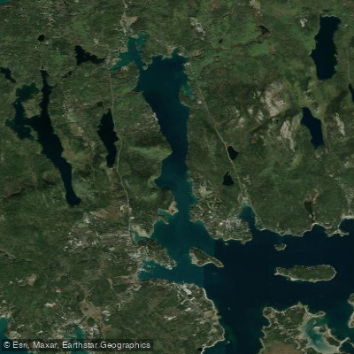
Somes Sound
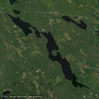
Toddy Pond
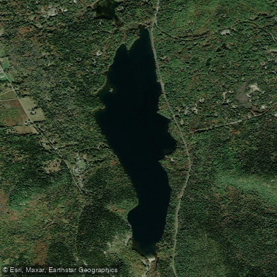
Echo Lake
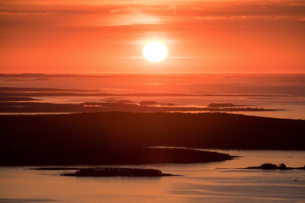
Frenchman Bay
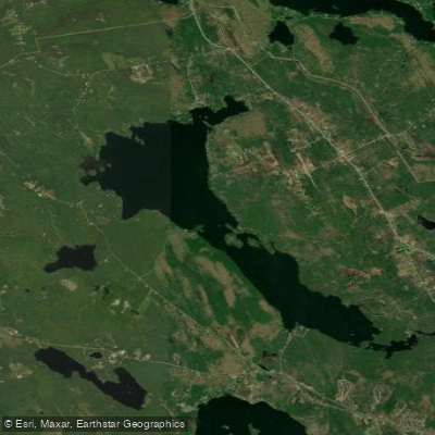
Branch Lake
Explore Maine waters
Top paddling waters
Popular Cities
Loading popular cities...
Explore near Bagaduce River

Smarter Paddling Starts in the App.
Paddleways gives you everything you need to plan smarter, paddle better, and own every trip from first launch to takeout.