Mount Desert Narrows
- Saltwater
- Bay
Mount Desert Narrows
- Saltwater
- Bay
- Sq. miles
- 6.7
- Boat Ramps
- 2
- Access Points
- 0
- Campsites
- 0
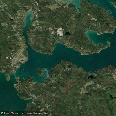
Mount Desert Narrows is the tidal channel separating Mount Desert Island from the mainland of Maine, offering paddlers a notably protected environment. This saltwater bay is characterized by calm, often glass-like waters, making it an ideal destination for paddling in high winds when other areas are rough. The experience is generally quiet, with less tourist activity compared to other parts of Acadia, featuring views of forested shores, private homes, and numerous islands. The area's geography includes extensive tidal flats, particularly around Thompson Island, which can make paddling difficult at low tide; planning a trip for around high tide is strongly advised for easier navigation and access to more shoreline.
Primary public access points for launching include Hadley Point, a sandy beach on Mount Desert Island's northern shore with good all-tide access and parking. On the mainland, Lamoine State Park provides a boat launch, and a landing just south of the Hancock County-Bar Harbor airport in Trenton is another option. These launches provide entry to well-protected waters suitable for exploring a network of islands. Key islands to paddle around include the Twinnies (North and South Twinnie), Thomas Island, and Burnt and Bald Porcupine islands near Bar Harbor. Paddlers should maintain a distance of at least a quarter-mile from South Twinnie Island, which has an active bald eagle nesting site. Other wildlife sightings may include harbor porpoises, seals, and various shorebirds.
While the Narrows itself is sheltered, paddlers must remain conscious of significant tidal changes that alter the landscape and depth. The area sees some lobster boat traffic, particularly near Lamoine State Park where they may unload catches. For those seeking to extend a trip, Northeast Creek, a freshwater creek entering the Narrows, offers an exploratory route through marsh grasses, though it becomes shallow. The sea caves known as "The Ovens" near Sand Point are a notable destination, accessible on fuller day trips from Hadley Point. Facilities are generally limited to basic launch access and parking.
Water access, boat ramps & amenities
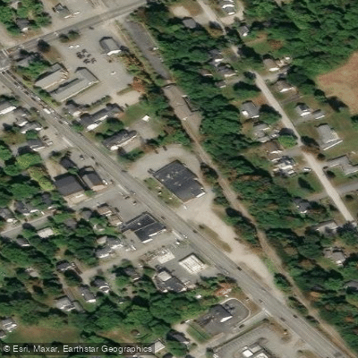
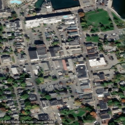
Learn how to get on Mount Desert Narrows. Uncover great paddling access points, boat ramps, and all the facilities you need for an unforgettable day on the water. Some locations shown may border or include private property. Always check property boundaries and applicable regulations before visiting. PaddleWays's Public & Private Land layer can help you plan your access with confidence.
Paddle smarter with real-time insights
Whether you're en route and conditions shift or you're looking for the best spot based on current flows, we enable you to make informed decisions on the fly.








Find Places to Paddle

Over 400,000 Places to Paddle
Every user gets free access to launch points, boat ramps, and public property parcels.


Tides, wind & water conditions (10 day forecast)
On open water, wind and tide matter as much as the weather. See the best times to paddle Mount Desert Narrows and check the marine forecast before you launch.
Loading tide predictions…
Paddling near Mount Desert Narrows

Explore Maine waters
Top paddling waters
Popular Cities
Loading popular cities...
Explore near Mount Desert Narrows
Access points
Nearby waters
More in Maine

Smarter Paddling Starts in the App.
Paddleways gives you everything you need to plan smarter, paddle better, and own every trip from first launch to takeout.