Narraguagus River
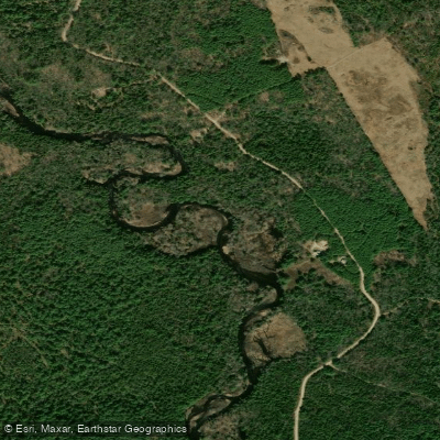
Narraguagus River
- Boat Ramps
- 1
- Access Points
- 5
- Campsites
- 0
The Narraguagus River is a scenic waterway located in Washington County, Maine, flowing southeasterly through the picturesque landscape of Down East Maine before emptying into Narraguagus Bay in the Gulf of Maine. This coastal stream offers paddlers a diverse range of experiences, from calm flatwater sections to challenging whitewater rapids, making it a popular destination for canoeists and kayakers alike.
The river's journey begins at Deer Lake, where paddlers can embark on a 25-mile stretch of mostly Class I-II whitewater to Deblois. This upper section is ideal for intermediate paddlers or beginners with some experience, offering a mix of calm waters and mild rapids amidst beautiful scenery. Deer Lake Campground, with its 24 campsites, serves as an excellent starting point for multi-day adventures.
As the river continues its course, it presents more challenging conditions in the 17.3-mile section from Deblois to Cherryfield. This stretch is known for its wide range of difficulty, with rapids varying from Class I to Class V, attracting experienced whitewater enthusiasts seeking a thrilling ride through the Maine wilderness.
For those looking for a more relaxed paddling experience, the lower section from Cherryfield to Milbridge offers a scenic 4.8-mile flatwater journey. This tidal portion of the river is best paddled at high tide or shortly after, providing an opportunity to explore the coastal region and potentially spot local wildlife.
The West Branch of the Narraguagus River adds another dimension to the paddling options, with a popular 14-mile run from Denbow Peat Mine to Sprague Falls. This Class II-III section offers a good balance of excitement and scenery, suitable for intermediate paddlers looking to hone their skills.
Seasonal considerations play a significant role in planning a Narraguagus River trip. Spring typically offers the highest water levels, ideal for whitewater enthusiasts, while summer and early fall provide more moderate conditions suitable for a wider range of skill levels. Paddlers should always check current water levels and weather conditions before embarking on their journey.
The river corridor is home to diverse flora and fauna, including the potential for Atlantic salmon sightings, though fishing for this endangered species is strictly regulated. The surrounding forests and wetlands provide habitat for a variety of birds and mammals, offering excellent wildlife viewing opportunities.
Notable landmarks along the river include Sprague's Falls Preserve, a 608-acre protected area featuring 5.5 miles of river frontage, hiking trails, and a historic camp. The preserve offers a glimpse into the region's natural beauty and cultural heritage.
Access to the river is facilitated by several towns along its course, including Cherryfield and Milbridge. These communities serve as important put-in and take-out points, as well as offering amenities for paddlers. The Down East Sunrise Trail, crossing the Narraguagus River near Cherryfield, provides an additional recreational opportunity for hikers and cyclists exploring the area.
Safety is paramount when paddling the Narraguagus River, particularly in its more challenging sections. Paddlers should always wear appropriate safety gear, including life jackets, and be aware of their skill limitations. The tidal influence in the lower sections requires careful planning and awareness of tide schedules.
For those seeking a multi-day adventure, the Narraguagus River offers excellent opportunities to combine various sections into longer trips. Starting from Deer Lake and progressing downstream allows paddlers to experience the river's changing character, from its placid beginnings to its more dynamic lower reaches.
The Narraguagus River stands as a testament to Maine's natural beauty and offers a paddling experience that caters to a wide range of interests and skill levels. Whether seeking a peaceful float through serene landscapes or an adrenaline-pumping whitewater challenge, the Narraguagus provides a memorable journey through the heart of Down East Maine.
Water access, boat ramps & amenities
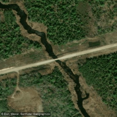
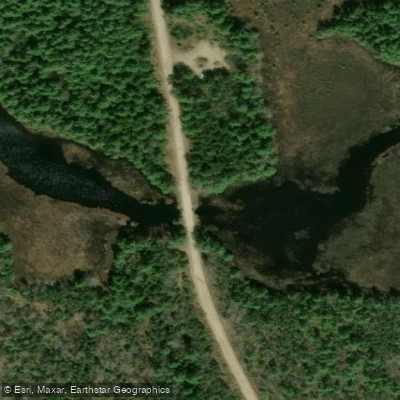
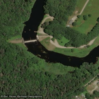
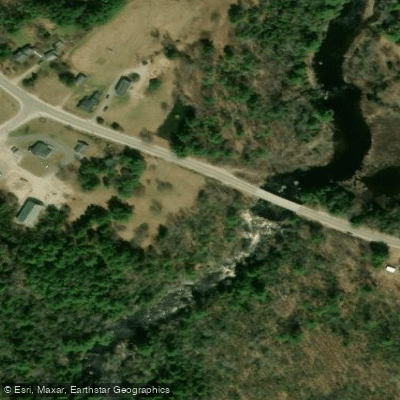
Learn how to get on Narraguagus River. Uncover great paddling access points, boat ramps, and all the facilities you need for an unforgettable day on the water. Some locations shown may border or include private property. Always check property boundaries and applicable regulations before visiting. PaddleWays's Public & Private Land layer can help you plan your access with confidence.
Paddle smarter with real-time insights
Whether you're en route and conditions shift or you're looking for the best spot based on current flows, we enable you to make informed decisions on the fly.








Find Places to Paddle

Over 400,000 Places to Paddle
Every user gets free access to launch points, boat ramps, and public property parcels.


Water and weather conditions (10 day forecast)
See the best times to paddle Narraguagus River and check the forecast before you go.
Narraguagus River at Cherryfield, Maine
Paddling near Narraguagus River
Explore Maine waters
Top paddling waters
Popular Cities
Loading popular cities...
Explore near Narraguagus River
Access points
Nearby waters
More in Maine

Smarter Paddling Starts in the App.
Paddleways gives you everything you need to plan smarter, paddle better, and own every trip from first launch to takeout.