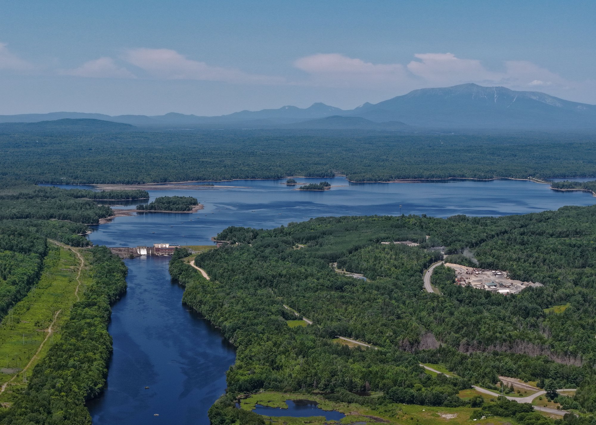





Graham Lake Dam
Union River · Below Graham Lake Dam · Brookfield Renewable
250 cfs now
Next 48 hours
- Today
- 5:00 PM EST to 5:00 PM EST
Forecast updated today at 5:23 PM EST. Schedules can change, so check the operator's page before you go.
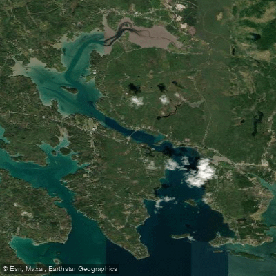
The Union River in Maine originates in the hills of Hancock County and flows southward for approximately 40 miles before emptying into Union River Bay near Ellsworth. Its two main tributaries are the West Branch and East Branch, which converge to form the main stem of the Union River.
Paddlers can enjoy a variety of experiences on the Union River system. The West Branch from Great Pond to Amherst offers an 11.5-mile stretch of Class I-II rapids interspersed with flatwater sections, making it suitable for intermediate paddlers. When water levels are sufficient, the section from Amherst to Graham Lake provides more challenging Class II-III whitewater, earning it the nickname Hancock County's finest whitewater run. The East Branch presents a gentler 19.4-mile paddle from Steep Landing to its confluence with the West Branch, featuring mostly Class I-II rapids. Below the confluence, the main stem offers a short but enjoyable Class I-II run from Ellsworth Falls to Ellsworth, popular among beginners and families.
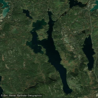
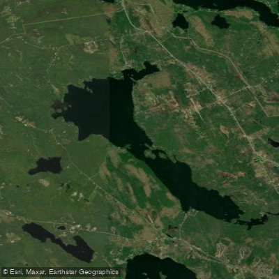
Spring typically provides the best water levels for whitewater enthusiasts, while summer and fall are ideal for more relaxed flatwater paddling. The river corridor supports diverse wildlife, including bald eagles, ospreys, and various fish species. Key landmarks include Graham Lake, a significant impoundment on the river, and the historic city of Ellsworth near the river's mouth.
Access points are available in Amherst, at Great Pond, and in Ellsworth, with additional put-ins along the East and West Branches. The Union River played a crucial role in the region's logging history and continues to be an important recreational resource. Today, it also serves as a source of hydroelectric power, with dams regulating its flow.
Paddlers should be aware of fluctuating water levels due to dam releases and should check conditions before embarking. The lower sections of the river are tidal, requiring awareness of changing currents. For those seeking a multi-day adventure, it's possible to combine sections of the East and West Branches with the main stem for a comprehensive exploration of the Union River system, showcasing the diverse paddling opportunities this Maine waterway has to offer.
Learn how to get on Union River. Uncover great paddling access points, boat ramps, and all the facilities you need for an unforgettable day on the water. Some locations shown may border or include private property. Always check property boundaries and applicable regulations before visiting. PaddleWays's Public & Private Land layer can help you plan your access with confidence.
Whether you're en route and conditions shift or you're looking for the best spot based on current flows, we enable you to make informed decisions on the fly.





Every user gets free access to launch points, boat ramps, and public property parcels.
See the best times to paddle Union River and check the forecast before you go.
No forecast data available.
Scheduled releases and generation forecasts from the dams on Union River.
Union River · Below Graham Lake Dam · Brookfield Renewable
250 cfs now
Forecast updated today at 5:23 PM EST. Schedules can change, so check the operator's page before you go.
Loading popular cities...
Paddleways gives you everything you need to plan smarter, paddle better, and own every trip from first launch to takeout.