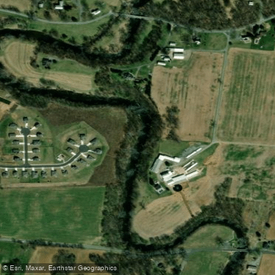
Curated by PaddleWays
RouteClass I–II
- Distance
- 6.8 mi
- Paddle time
- ~2.5 hrs
- Best for
- Beginners, intermediate paddlers
- Put-in → take-out
- Rose's Mill Park Boat Ramp → Devil's Backbone Park Take out Access
Strainers along the creek
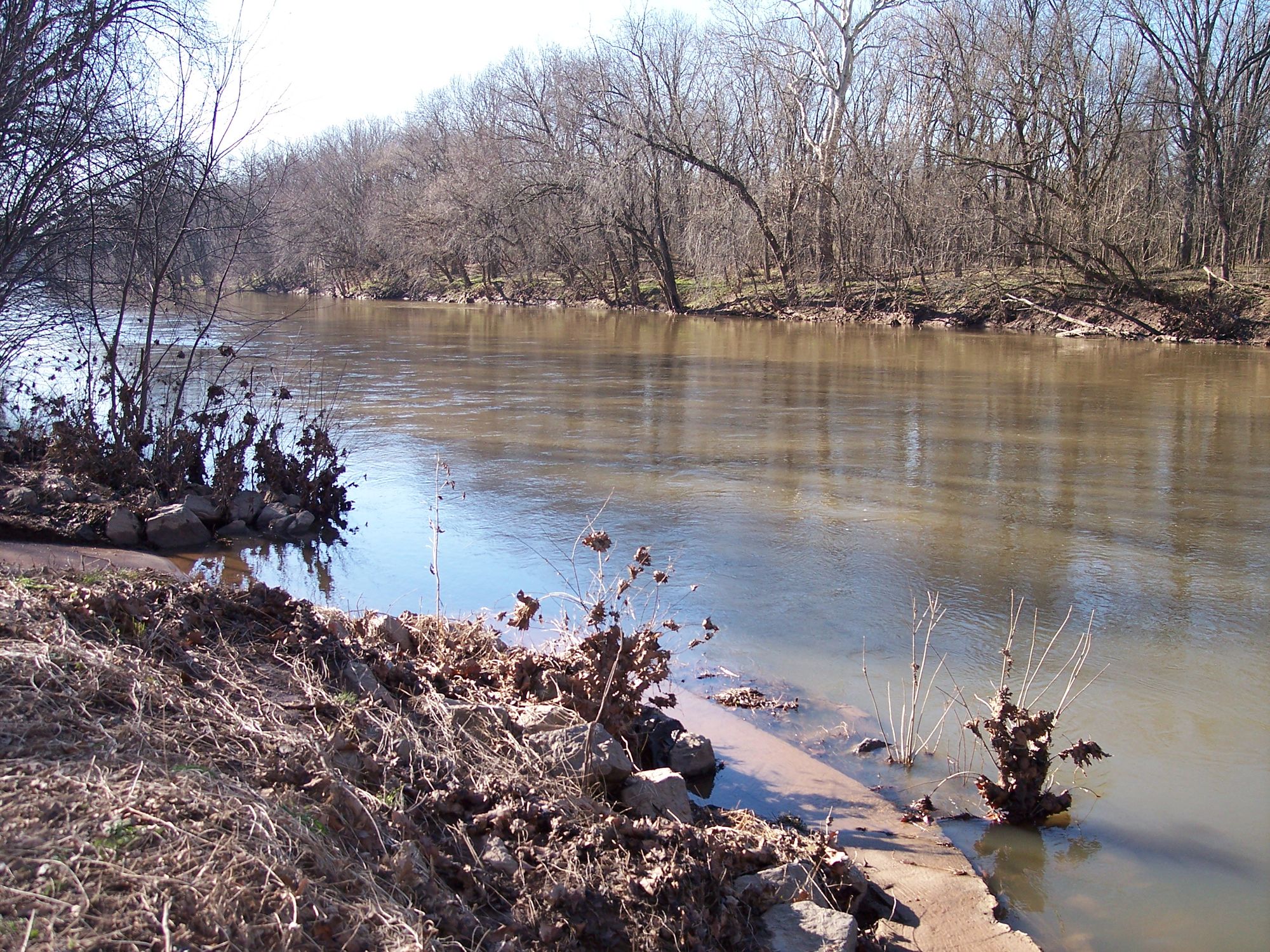
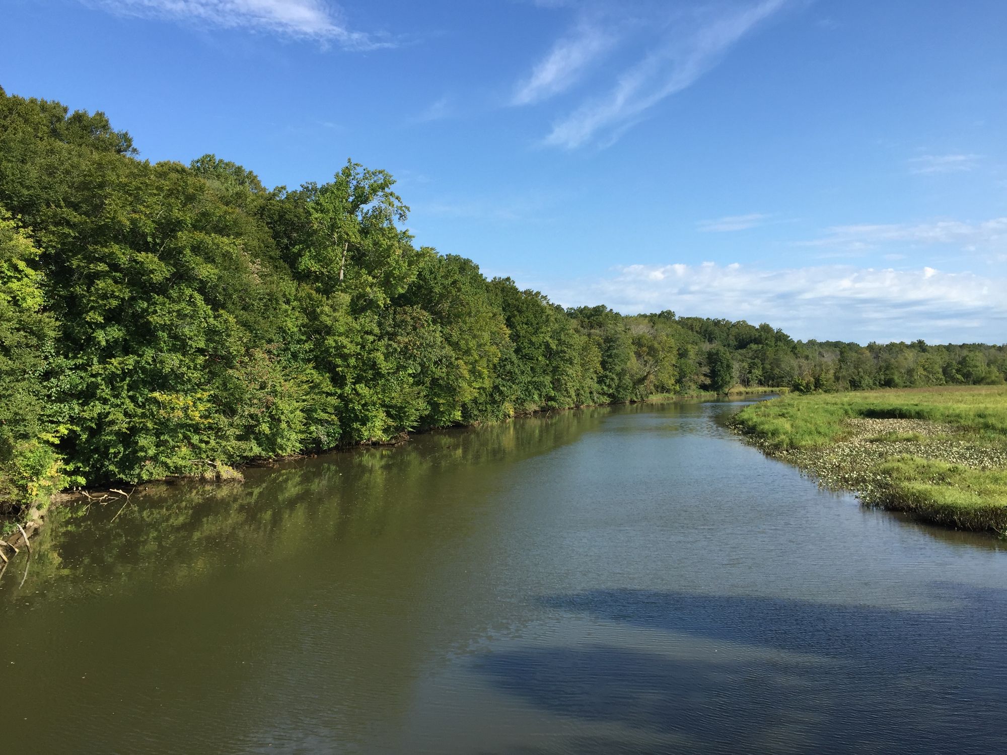
Antietam Creek originates in Franklin County, Pennsylvania, where the East and West Branches converge near Waynesboro before flowing approximately 54 miles through the Cumberland Valley into Washington County, Maryland. The creek discharges into the Potomac River near Sharpsburg, Maryland, draining a watershed of approximately 290 square miles. The waterway passes through a karst limestone landscape characterized by rolling farmland, forested ridges, and historic battlefields.
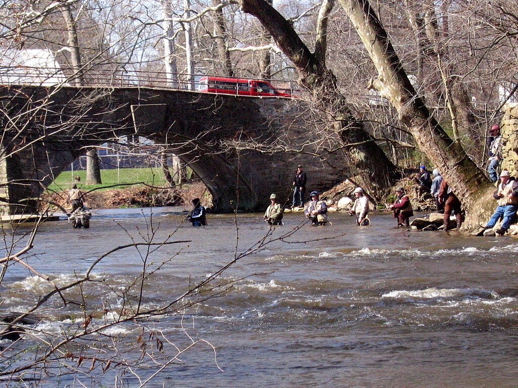
Paddlers have access to multiple sections of Antietam Creek, with the Lower Antietam representing the most popular stretch. This 12-14 mile run from Devil's Backbone County Park (Route 68 near Sharpsburg) to the Potomac River confluence offers Class I-II whitewater, featuring one notable Class II rapid called Furnace Rapid near the creek's mouth. Shorter options include paddling from Devil's Backbone to Burnside Bridge. The Upper Antietam, extending from the Pennsylvania state line to Devil's Backbone, provides Class I paddling through a designated put-and-grow trout fishery. The creek maintains year-round paddleability due to groundwater sources, though minimum flows of 3.0 feet are recommended for comfortable passage.
Skill requirements range from beginner on upper sections to intermediate on the Lower Antietam, where swift currents, sharp turns, and obstacles including rocks, strainers, and narrow passages demand competent boat control. The creek's deceptively fast current has caught unprepared paddlers off-guard even during moderate flows. Spring offers optimal conditions with higher water levels from snowmelt and rainfall, while summer and fall paddling remains viable though water levels may require occasional dragging in shallow sections. Winter paddling is possible during mild periods.
The watershed supports cold-water fisheries including native brook trout, brown trout, and rainbow trout in designated sections. High-quality streams like the East Branch support natural trout reproduction. The forested South Mountain area provides habitat for migratory songbirds, with the Kittatinny Ridge serving as a globally significant flyway. White-tailed deer, raccoons, and various waterfowl frequent the riparian corridor.
Burnside Bridge stands as the creek's most prominent landmark, site of fierce combat during the September 17, 1862 Battle of Antietam. Paddlers pass directly beneath this historic stone arch structure within Antietam National Battlefield. The creek corridor includes several 19th-century covered bridges, including Martin's Mill Bridge, and remnants of the region's iron furnace industry.
Primary access points include Devil's Backbone County Park in Washington County, Maryland, with takeouts at Burnside Bridge and the Potomac River confluence near Sharpsburg. Waynesboro, Pennsylvania provides access to upper sections. Chambersburg lies approximately 10 miles north of the watershed, while Hagerstown sits several miles west.
The creek's Civil War significance makes it unique among Mid-Atlantic paddling destinations. On September 17, 1862, the Battle of Antietam produced over 23,000 casualties in twelve hours, making it the bloodiest single day in American military history. The creek "ran red" with blood during the fighting.
Paddlers should exercise caution around strainers, particularly during high water, and respect fishing access along trout streams. National Park Service regulations prohibit docking at the historic Burnside Bridge itself. Water quality concerns include agricultural runoff and elevated bacteria levels at certain monitoring sites, though the creek generally maintains good clarity. The watershed faces ongoing challenges from development pressure, particularly in southern Franklin County near the Maryland border.
Curated routes
Hand-picked by the PaddleWays team, with put-ins, take-outs, paddle times and the hazards along the way.
RouteClass I–II
RouteClass I–II
RouteClass I
RouteClass I–II
Hazards
No paddler has reported a hazard here yet, so these are the dams, falls and big rapids on our map. Hazards change with flows and storms, so check them before you launch.
From the community
Real trips from PaddleWays paddlers: which route they ran, how the flows were, and what to watch for.
Loading trip reports
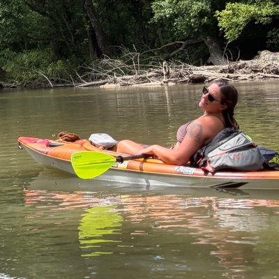
Danielle G.
115 cfs at Sharpsburg
Rose mill to devils backbone
See exactly where the public can get on and off the river. Launch points and boat ramps are paired with PaddleWays' public land data so you know where you can legally land.
Public shoreline
0%of the river's shoreline is public
Most of the riverbank is private. Launch, land and camp only at public access points.
Flows, weather and a route-by-route verdict, so you know which stretch of the Antietam Creek is worth paddling today.
All Flow Stations
Live flows, marked hazards and fresh trip reports from paddlers who were just on the water, all in one place.





Every user gets free access to launch points, boat ramps, and public property parcels.

Loading popular cities...
PaddleWays gives you everything you need to plan smarter, paddle better, and own every trip from first launch to takeout.