Casselman River
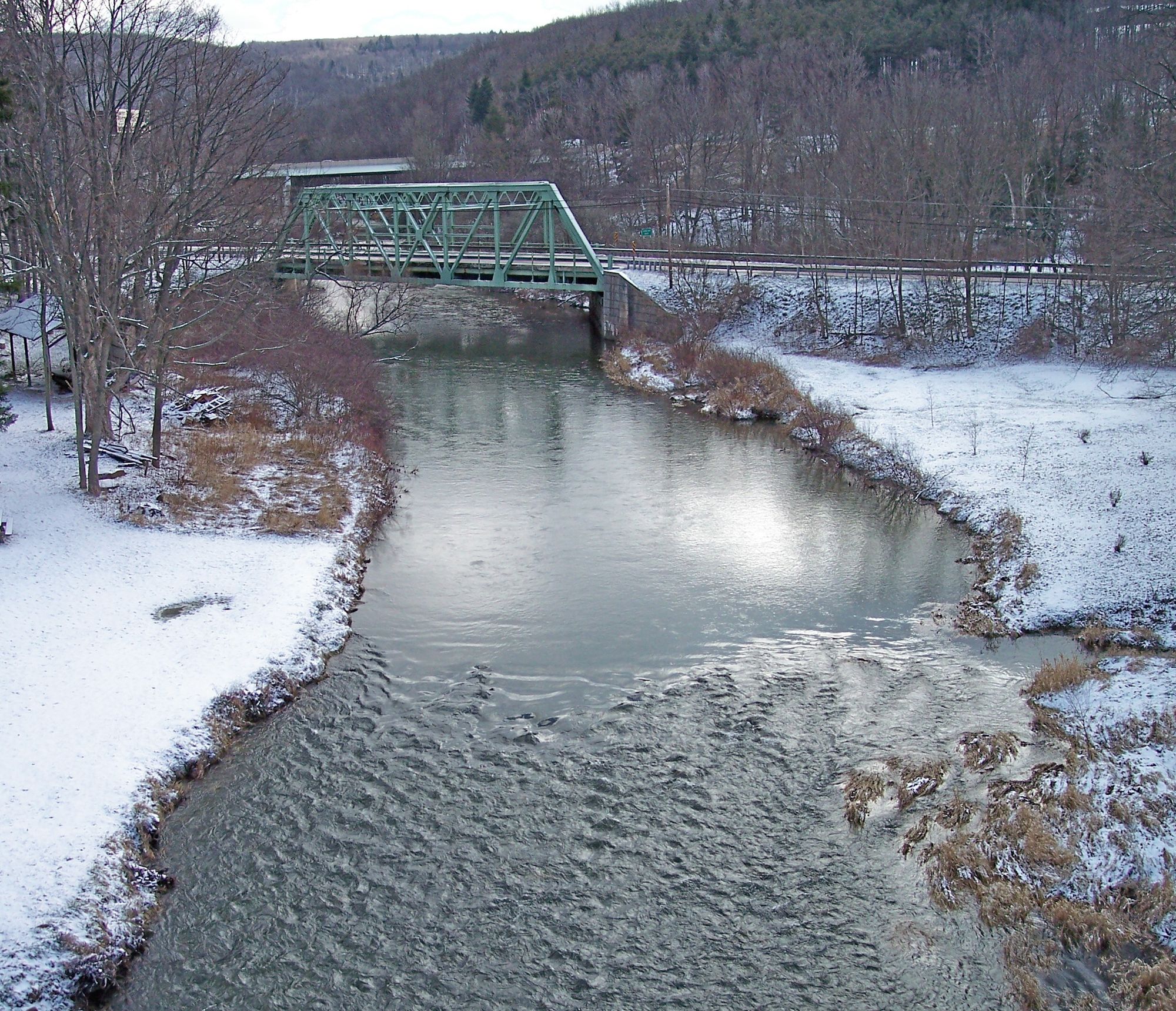
Casselman River
- Boat Ramps
- 1
- Access Points
- 8
- Campsites
- 11
The Casselman River is a 56.5-mile long tributary of the Youghiogheny River, originating in Garrett County, Maryland and flowing northward into Somerset County, Pennsylvania. Its headwaters begin as two branches in the Savage River State Forest of western Maryland - the south branch east of Meadow Mountain and the north branch between Meadow Mountain and Negro Mountain. The river drains a watershed of 576 square miles before joining the Youghiogheny River at Confluence, Pennsylvania.
For paddlers, the Casselman offers a variety of experiences ranging from calm Class I-II sections suitable for beginners to more challenging Class III rapids for intermediate whitewater enthusiasts. Popular paddling sections include the 11.5-mile stretch from MD Route 485 to Salisbury, PA (Class I-II), the 6-mile North Branch run from Dung Hill Road to MD Route 485 (Class I-III+), and several sections in Pennsylvania like Markleton to Fort Hill (Class I-III) and Fort Hill to Confluence (Class I-III). The river is best paddled in spring when water levels are higher, though some sections remain navigable year-round. Paddlers should always check current conditions, as difficulty can increase significantly at high water.
The Casselman supports stocked trout and smallmouth bass fisheries, making it popular among anglers as well. Key access points include Garrett, Salisbury, Rockwood, Markleton, and Fort Hill. The Great Allegheny Passage trail runs roughly parallel to the river from Meyersdale to Confluence, offering interesting views for both paddlers and trail users. Notable landmarks include the historic Casselman River Bridge near Grantsville, MD.
The Casselman flows through scenic woodlands and rural landscapes. Wildlife sightings may include deer, turkey, and various bird species. Paddlers should be aware of potential hazards like strainers and should always wear proper safety gear. Multi-day trips are possible by combining sections, with camping available at nearby Laurel Hill State Park.
As a major tributary of the Youghiogheny, the Casselman played a role in early transportation and industry in the region. Today, it offers outdoor enthusiasts a less crowded alternative to some of the area's more famous rivers while still providing beautiful scenery and enjoyable paddling experiences for a range of skill levels.
Water access, boat ramps & amenities
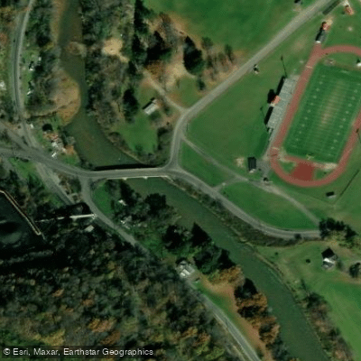
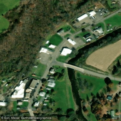
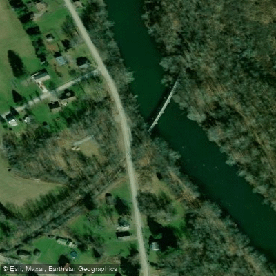
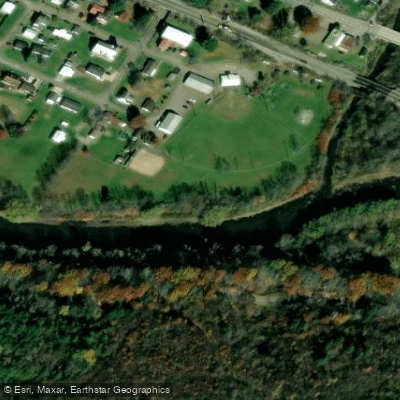
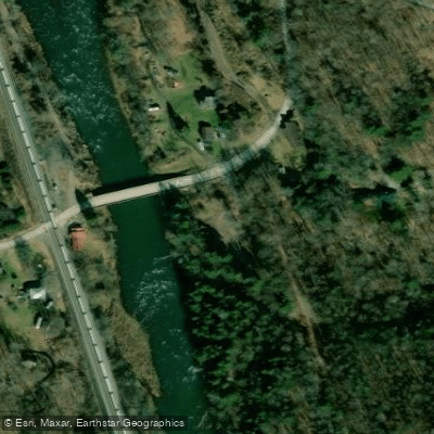
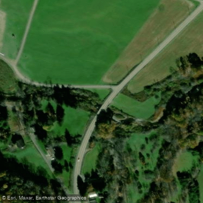
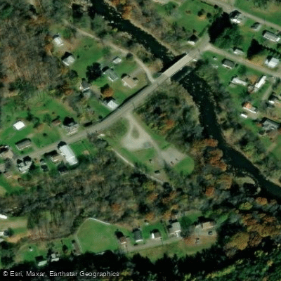
Learn how to get on Casselman River. Uncover great paddling access points, boat ramps, and all the facilities you need for an unforgettable day on the water. Some locations shown may border or include private property. Always check property boundaries and applicable regulations before visiting. PaddleWays's Public & Private Land layer can help you plan your access with confidence.
Paddle smarter with real-time insights
Whether you're en route and conditions shift or you're looking for the best spot based on current flows, we enable you to make informed decisions on the fly.








Find Places to Paddle

Over 400,000 Places to Paddle
Every user gets free access to launch points, boat ramps, and public property parcels.


Water and weather conditions (10 day forecast)
See the best times to paddle Casselman River and check the forecast before you go.
Casselman River at Markleton, PA
All Flow Stations
Paddling near Casselman River
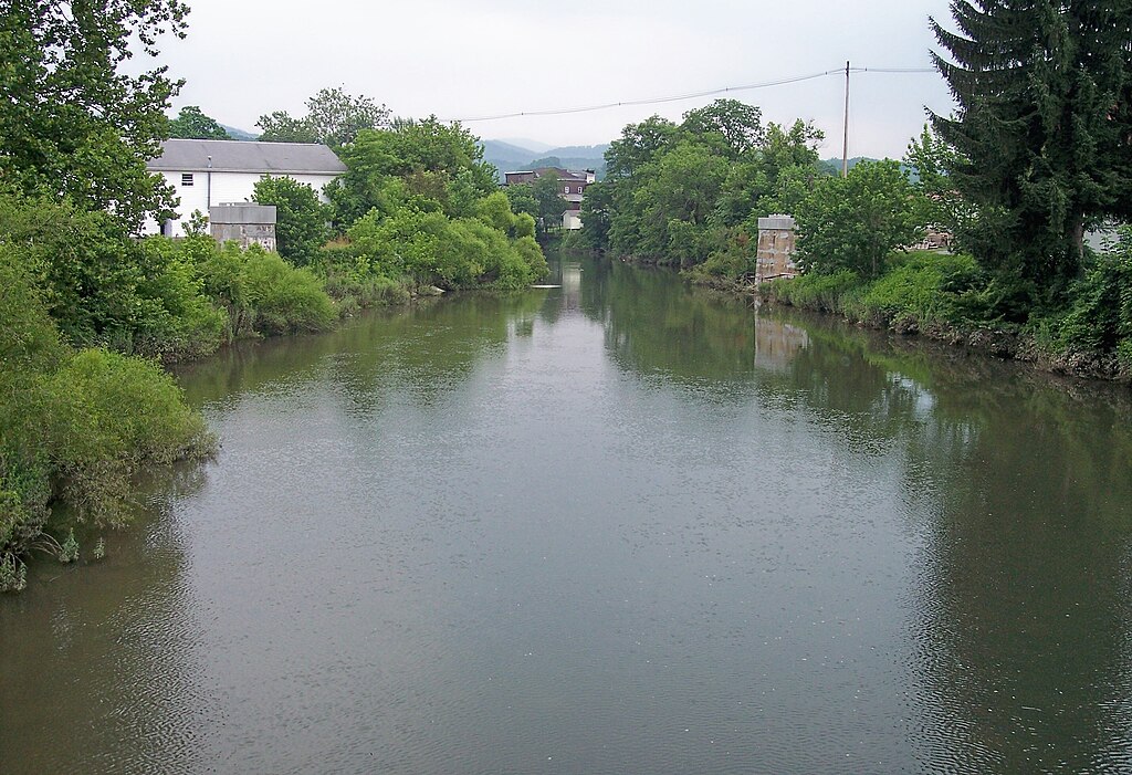
Tygart Valley River
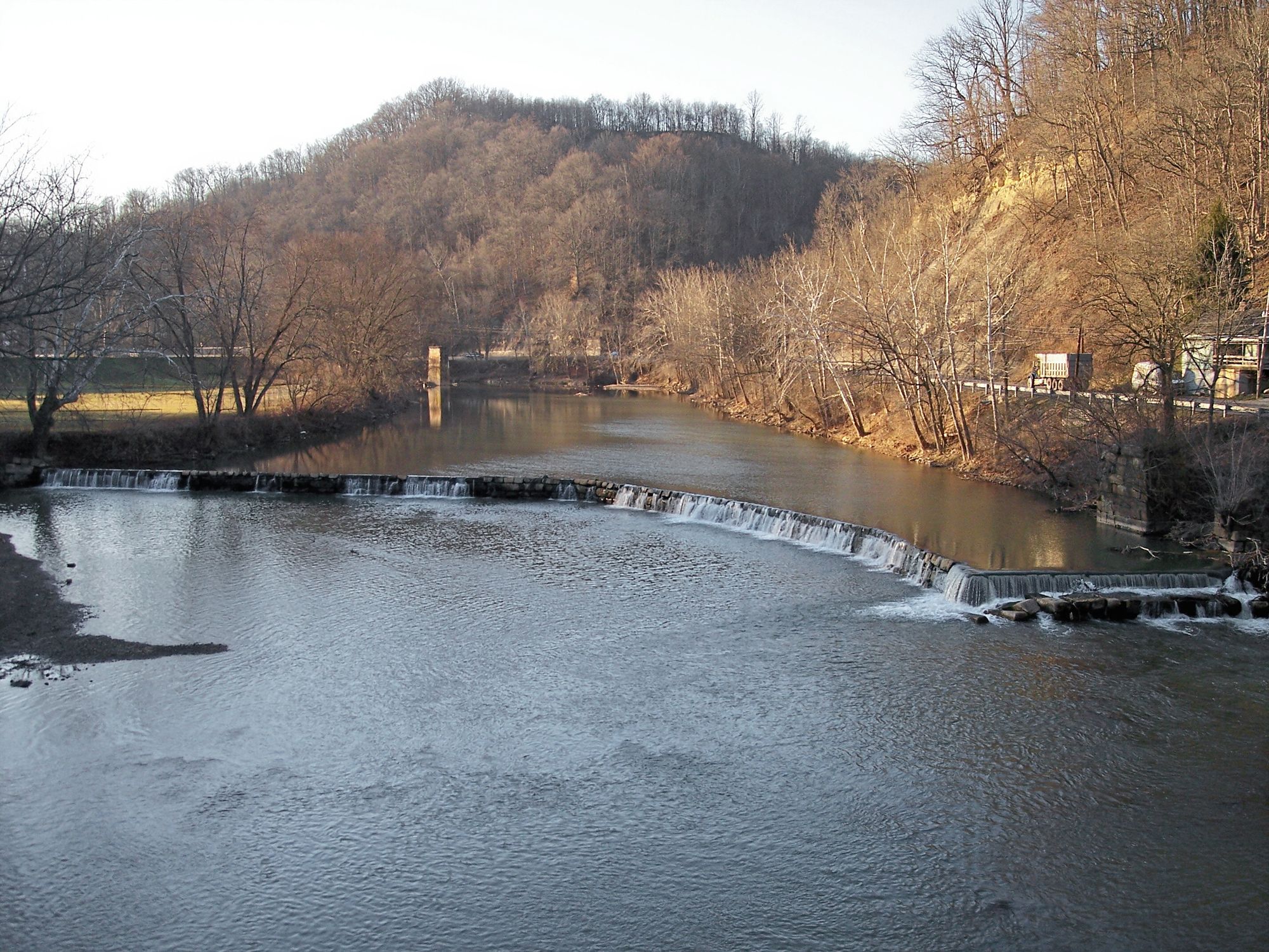
West Fork River

Ohio River
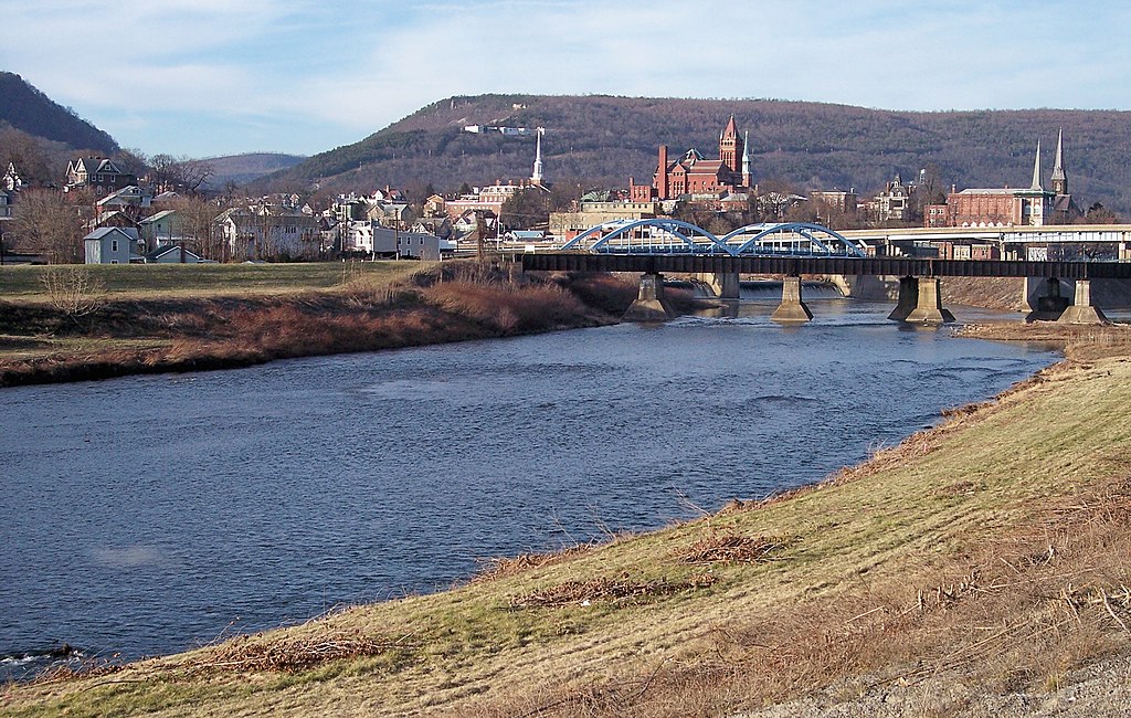
North Branch Potomac River
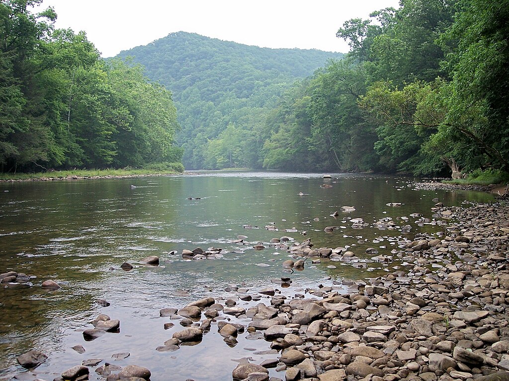
Shavers Fork
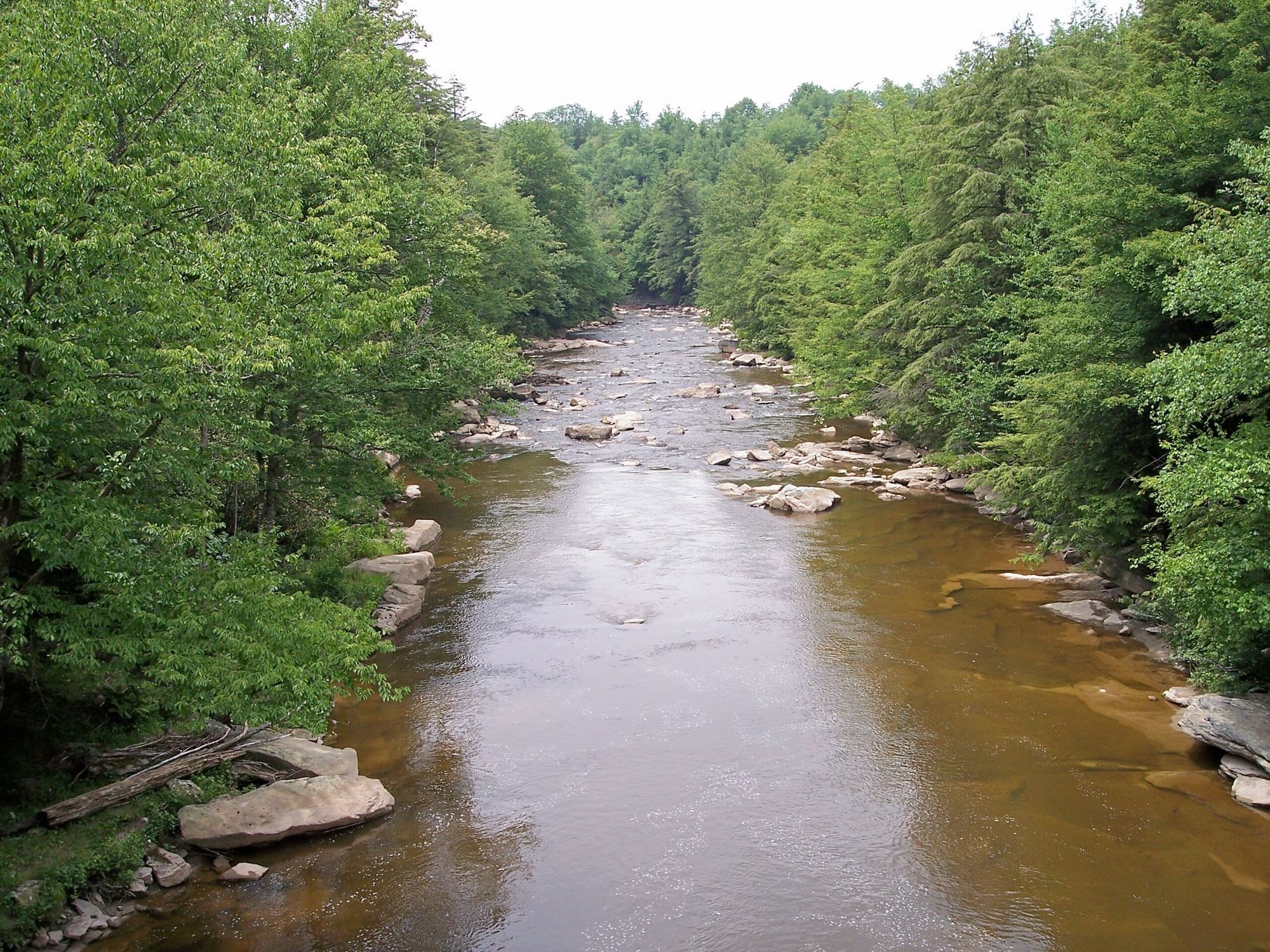
Blackwater River
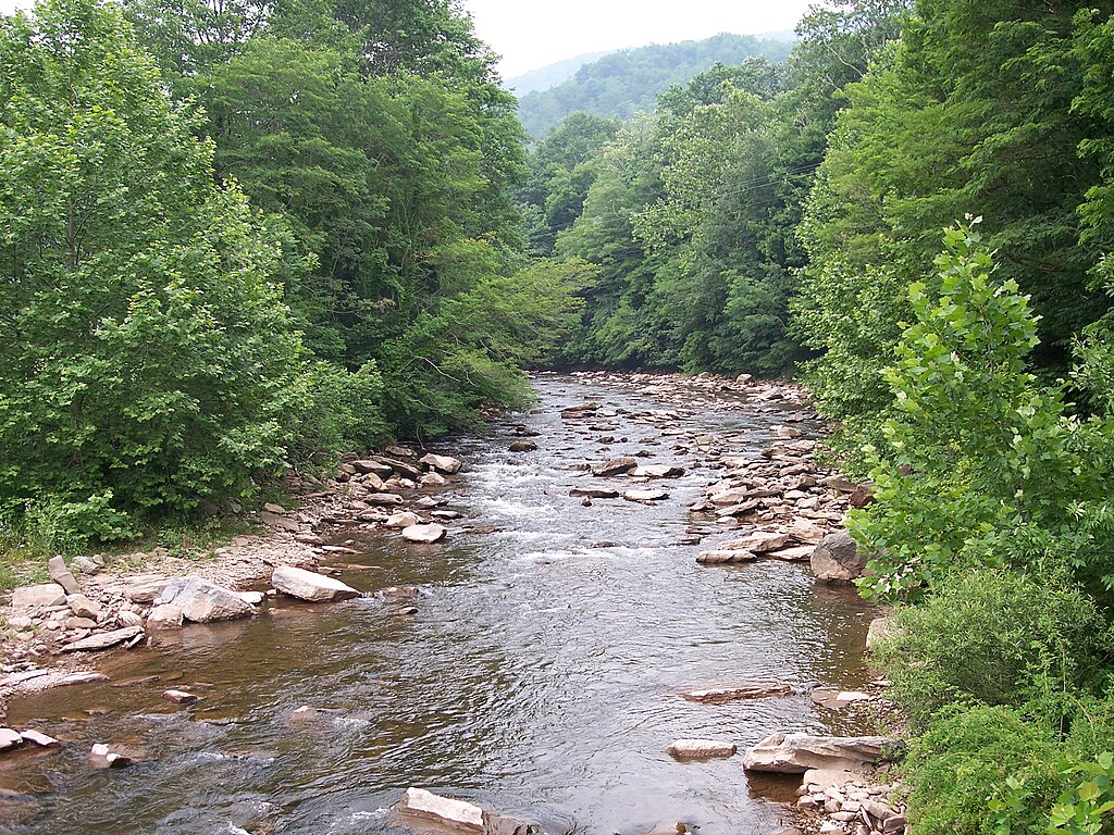
Dry Fork
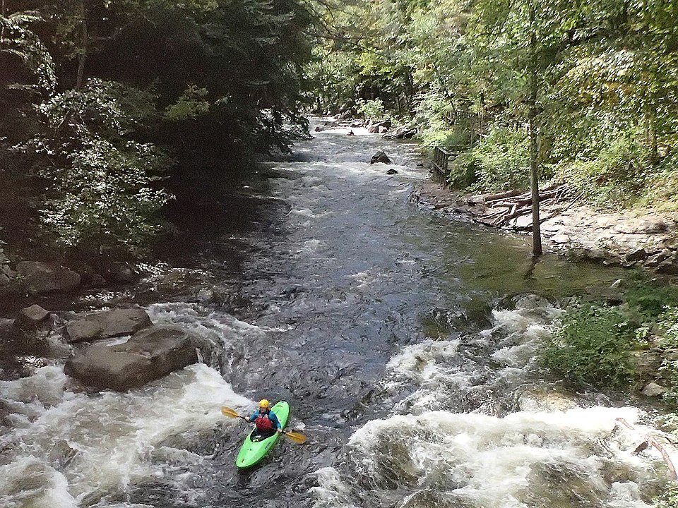
Savage River
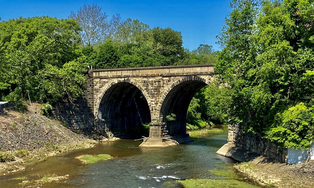
Loyalhanna Creek
Explore Maryland waters
Top paddling waters
Popular Cities
Loading popular cities...
Explore near Casselman River
Access points
Nearby waters
More in Maryland

Smarter Paddling Starts in the App.
Paddleways gives you everything you need to plan smarter, paddle better, and own every trip from first launch to takeout.