Curated by PaddleWays
RouteClass II
- Distance
- 3.5 mi
- Paddle time
- 3.5 hrs
- Best for
- Intermediate paddlers
- Put-in → take-out
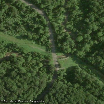
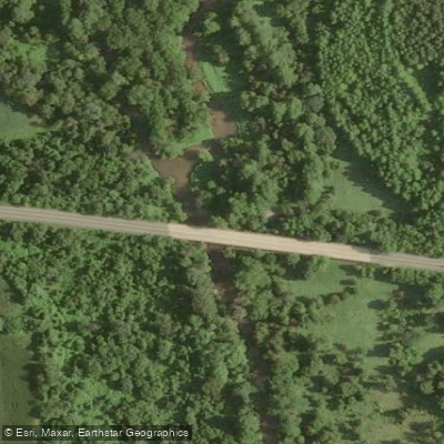
- Shadding Reach Boat Ramp → Black Rock Mill Access
Great Seneca Creek is a scenic waterway in Montgomery County, Maryland, flowing approximately 14 miles from its headwaters near Damascus southward to its confluence with the Potomac River. This creek is a major tributary of the Potomac, draining a significant watershed in central Maryland. The creek offers diverse paddling opportunities, from flatwater sections ideal for beginners to more challenging Class I-II rapids for intermediate paddlers.
The most popular paddling sections include: 1. Riley's Lock to Upstream: A 1.5-mile flatwater stretch perfect for novices and wildlife viewing. 2. Riffle Ford Road to Black Rock Mill: A 5-mile section with Class II rapids, suitable for more experienced paddlers. 3. Clopper Lake: A peaceful 2-mile flatwater paddle in Seneca Creek State Park.
Paddling difficulty ranges from flatwater to Class II, with most sections suitable for beginner to intermediate skill levels. The creek is generally best paddled in spring and early summer when water levels are higher. Fall offers beautiful foliage, but paddlers should be aware of potentially lower water levels.
Great Seneca Creek supports diverse wildlife, including great blue herons, beavers, and various fish species. The surrounding forests are home to deer, foxes, and numerous bird species.
Key landmarks include the historic Seneca Aqueduct (Riley's Lock), Black Rock Mill, and Clopper Lake. The creek flows through Seneca Creek State Park, offering additional recreational opportunities.
Primary access points include: - Riley's Lock (Seneca): Near Potomac, MD - Riffle Ford Road: Near Gaithersburg, MD - Black Rock Mill: In Seneca Creek State Park - Clopper Lake: In Seneca Creek State Park, near Gaithersburg
The creek holds historical significance as part of the Chesapeake and Ohio Canal system, with Riley's Lock (Lock 24) being a well-preserved example of 19th-century canal infrastructure. Parts of the 1999 film The Blair Witch Project were filmed within Seneca Creek State Park, adding cultural interest to the area.
Paddlers should be aware of water level fluctuations and check conditions before embarking. Wearing a personal flotation device is essential. Some sections may require portaging around obstacles or during low water periods. While primarily suited for day trips, adventurous paddlers could potentially arrange multi-day excursions combining Great Seneca Creek with the adjacent Potomac River, though camping options are limited and would require careful planning.
Curated routes
Hand-picked by the PaddleWays team, with put-ins, take-outs, paddle times and the hazards along the way.
RouteClass II
Hazards
No hazards are marked on Great Seneca Creek yet. That is not the same as none being there: if you find one, report it for the next paddler.
From the community
Nobody has shared a trip on Great Seneca Creek yet. Paddle it, then tell the next paddler how it went.
See exactly where the public can get on and off the river. Launch points and boat ramps are paired with PaddleWays' public land data so you know where you can legally land.
Public shoreline
7%of the river's shoreline is public
Most of the riverbank is private. Launch, land and camp only at public access points.
Flows, weather and a route-by-route verdict, so you know which stretch of the Great Seneca Creek is worth paddling today.
Live flows, marked hazards and fresh trip reports from paddlers who were just on the water, all in one place.





Every user gets free access to launch points, boat ramps, and public property parcels.

Loading popular cities...
PaddleWays gives you everything you need to plan smarter, paddle better, and own every trip from first launch to takeout.