Curated by PaddleWays
RouteClass I–II
- Distance
- 5.6 mi
- Paddle time
- ~2 hrs
- Best for
- Beginners, intermediate paddlers
- Put-in → take-out
- Seneca Creek State Park Boat Ramp → Seneca Creek Park Access
Seneca Creek is a scenic waterway located in Montgomery County, Maryland, offering diverse paddling experiences for kayakers and canoeists of various skill levels. The creek flows for approximately 14 miles through Seneca Creek State Park before joining the Potomac River, providing a mix of flatwater and gentle whitewater sections.
The paddling opportunities on Seneca Creek range from serene flatwater on Clopper Lake to more challenging Class I-II rapids on the main creek. Clopper Lake, a 90-acre impoundment within the state park, is ideal for beginners and families, offering calm waters perfect for kayaking, canoeing, and paddleboarding. The lake averages 18 feet in depth and features several shallow coves with submerged aquatic vegetation, attracting various wildlife.
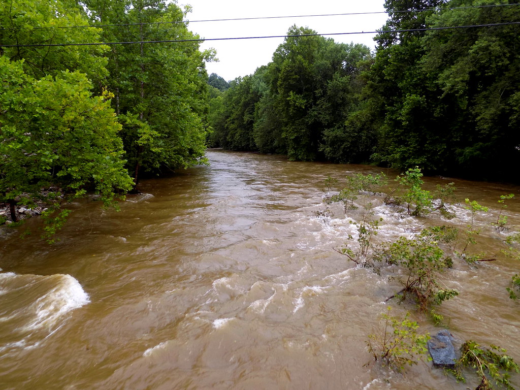
For those seeking moving water, the section from MD-28 to Riley's Lock offers a pleasant 5.8-mile stretch of Class I-II rapids, suitable for intermediate paddlers. This run provides a good balance of scenic beauty and moderate whitewater challenge. Paddlers should check the USGS gauging station at MD-28 for optimal water levels, with a reading of 2.1 feet recommended for the best conditions.
The creek is generally paddleable year-round, but spring and fall typically offer the most reliable water levels. Summer can be enjoyable for flatwater paddling on Clopper Lake, while winter paddling is possible for well-equipped, experienced paddlers.
Wildlife enthusiasts will appreciate the diverse ecosystem along Seneca Creek. The area is home to various bird species, including ducks, geese, and loons. Beavers and other small mammals can often be spotted along the shorelines. The submerged aquatic vegetation in Clopper Lake's coves provides excellent habitat for fish and aquatic life.
One of the most significant landmarks along Seneca Creek is the historic Seneca Creek Aqueduct, also known as Riley's Lock. This beautiful red sandstone structure, built to carry the C&O Canal over Seneca Creek, marks the confluence with the Potomac River and serves as a popular take-out point for paddlers.
The town of Gaithersburg serves as a convenient access point and base for exploring Seneca Creek. The state park offers multiple put-in and take-out locations, including the Clopper Lake Boat Center, which provides rentals from May through Labor Day.
Seneca Creek holds historical significance as part of the transportation network that helped develop the region. The creek and surrounding area played a role in early American industry, with several mills once operating along its banks. More recently, parts of the 1999 film "The Blair Witch Project" were filmed within Seneca Creek State Park, adding a touch of pop culture interest to the area.
Safety considerations include checking water levels before paddling the moving water sections and being aware of submerged obstacles, particularly after heavy rains. All paddlers should wear appropriate personal flotation devices and follow state park regulations.
While Seneca Creek is primarily suited for day trips, the proximity to the C&O Canal and Potomac River allows for extended multi-day adventures for those looking to explore the broader watershed. Paddlers can combine a trip on Seneca Creek with a journey down the Potomac for a more extensive expedition.
Seneca Creek offers a perfect blend of natural beauty, historical interest, and varied paddling experiences, making it a cherished destination for outdoor enthusiasts in the Washington D.C. metropolitan area.
Curated routes
Hand-picked by the PaddleWays team, with put-ins, take-outs, paddle times and the hazards along the way.
RouteClass I–II
Hazards
No hazards are marked on Seneca Creek yet. That is not the same as none being there: if you find one, report it for the next paddler.
From the community
Nobody has shared a trip on Seneca Creek yet. Paddle it, then tell the next paddler how it went.
See exactly where the public can get on and off the river. Launch points and boat ramps are paired with PaddleWays' public land data so you know where you can legally land.
Public shoreline
0%of the river's shoreline is public
Most of the riverbank is private. Launch, land and camp only at public access points.
Flows, weather and a route-by-route verdict, so you know which stretch of the Seneca Creek is worth paddling today.
Live flows, marked hazards and fresh trip reports from paddlers who were just on the water, all in one place.





Every user gets free access to launch points, boat ramps, and public property parcels.

Loading popular cities...
PaddleWays gives you everything you need to plan smarter, paddle better, and own every trip from first launch to takeout.