Curated by PaddleWays
RouteFlatwater
- Distance
- 5.5 mi
- Paddle time
- ~2 hrs
- Put-in → take-out
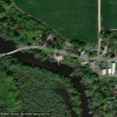
- Edwards Ferry Boat Ramp → West Ocean City Boat Ramp
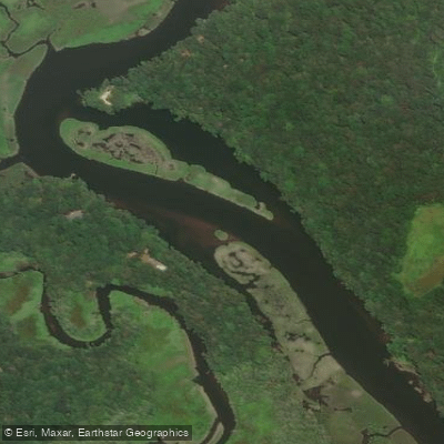
Tuckahoe Creek, located on Maryland's Eastern Shore, offers paddlers a flatwater experience through forested areas, open tidal waters, and rich marsh habitats. This picturesque waterway, which runs through Tuckahoe State Park in Queen Anne's and Caroline counties, provides excellent opportunities for kayaking, canoeing, and wildlife viewing.
The creek can be divided into two main paddling sections: upstream and downstream from the Crouse Mill Road boat ramp in Tuckahoe State Park. The upstream section winds through hardwood forests, offering a serene and intimate paddling experience ideal for smaller boats. Paddlers can explore approximately 2 miles upstream before the creek becomes too narrow for longer kayaks.
The downstream section quickly widens to river dimensions, providing a more open paddling experience through tidal marsh areas. Tuckahoe Creek is suitable for paddlers of all skill levels, with its flatwater conditions making it an excellent choice for beginners and families. However, the narrower upstream portions may present some challenges for longer kayaks, so smaller boats are recommended for exploring these areas.
Spring and fall are considered the best seasons for paddling Tuckahoe Creek, when water levels are typically higher and the scenery is at its most vibrant. The creek is particularly beautiful during these seasons, with colorful foliage adding to the natural beauty of the surroundings.
The area is renowned for its rich wildlife, making it a paradise for nature enthusiasts and birdwatchers. Paddlers can expect to see a variety of species, including bald eagles, osprey, great blue herons, Canada geese, wood ducks, turtles, otters, beavers, and muskrats. The creek is also home to various fish species, including yellow perch, white perch, and hickory shad, which migrate upstream during spring spawning seasons.
Notable features along Tuckahoe Creek include the 60-acre Tuckahoe Lake, created by damming the creek, and the Tuckahoe Creek Water Trail, a 5.2-mile route that offers a mix of environments from forested areas to open tidal waters. Paddlers will pass under four bridges while exploring the upstream section, adding interest to the journey.
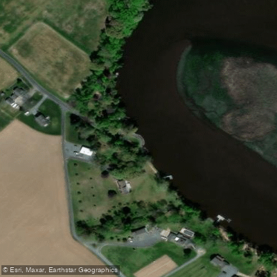
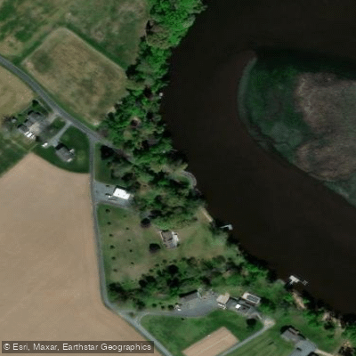
The primary access point for paddling Tuckahoe Creek is the Crouse Mill Road boat ramp in Tuckahoe State Park. The nearby towns of Hillsboro and Queen Anne provide additional access points and amenities for visitors.
Historically, the area around Tuckahoe Creek has been significant since colonial times, with the creek once serving as an important transportation route. Today, the creation of Tuckahoe State Park in the 1960s has helped preserve the natural beauty and ecological importance of the creek and its surrounding lands.
Safety considerations for paddling Tuckahoe Creek are minimal due to its calm waters, but as with any water activity, wearing a life jacket is strongly recommended. Paddlers should be aware of weather conditions and water levels, particularly in the narrower upstream sections where fallen trees or other obstacles may be present.
While Tuckahoe Creek is primarily known for day trips, the variety of paddling options and the presence of camping facilities in Tuckahoe State Park make it possible to create multi-day adventures combining creek exploration with hiking and other park activities. For those seeking a tranquil paddling experience rich in natural beauty and wildlife, Tuckahoe Creek offers a perfect escape into the heart of Maryland's Eastern Shore landscape.
Curated routes
Hand-picked by the PaddleWays team, with put-ins, take-outs, paddle times and the hazards along the way.
RouteFlatwater
RouteFlatwater
Hazards
No paddler has reported a hazard here yet, so these are the dams, falls and big rapids on our map. Hazards change with flows and storms, so check them before you launch.
From the community
Nobody has shared a trip on Tuckahoe Creek yet. Paddle it, then tell the next paddler how it went.
See exactly where the public can get on and off the river. Launch points and boat ramps are paired with PaddleWays' public land data so you know where you can legally land.
Public shoreline
0%of the river's shoreline is public
Most of the riverbank is private. Launch, land and camp only at public access points.
Flows, weather and a route-by-route verdict, so you know which stretch of the Tuckahoe Creek is worth paddling today.
Live flows, marked hazards and fresh trip reports from paddlers who were just on the water, all in one place.





Every user gets free access to launch points, boat ramps, and public property parcels.


Loading popular cities...
PaddleWays gives you everything you need to plan smarter, paddle better, and own every trip from first launch to takeout.