Chester River
- Saltwater
- Tidal river
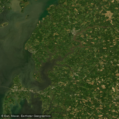
Chester River
- Saltwater
- Tidal river
- Sq. miles
- 26
- Boat Ramps
- 6
- Access Points
- 3
- Campsites
- 0
The Chester River is a tidal river on Maryland's Eastern Shore, a major tributary of the Chesapeake Bay. Its character varies significantly between its upper and lower sections. The upper river near Chestertown offers a more protected, historic, and town-based paddling experience. The river widens considerably downstream towards Rock Hall and the bay, where it becomes exposed to greater wind fetch and boat traffic, capable of generating good size waves. Paddlers should be aware this is a tidal waterway; planning around tides is essential, especially for routes like circumnavigating islands where timing can ensure a tide-assisted journey both ways. The river's diverse ecology supports over 200 species of birds, particularly around Eastern Neck Island, and bald eagles are commonly sighted near Buckingham Wharf.
Key access points include several public launches. In Chestertown, Wilmer Park provides a serene, picturesque riverfront launch with a gazebo and green space, while the Chestertown Marina offers a floating kayak launch and a boat ramp for a fee. Downriver, public boat ramps are available near the town of Chester and at Bayside Landing for accessing Rock Hall Harbor. Other noted put-ins include Cannon Street's floating dock, Bogles Wharf, and Eastern Neck National Wildlife Refuge. The best seasons for paddling are generally from spring through fall.
The area is steeped in colonial history, visible from the water. Paddlers can view one of the country's best-preserved colonial seaports from Cannon Street, pass the historical Millhouse in Millington, and explore Grays Inn Creek, an 18th-century shipyard site. The river near Chestertown features well-preserved Georgian-style architecture and brick sidewalks along its shore. Hazards primarily involve the open, lower river section, which is wide and exposed to winds, tides, and significant boat and ship traffic, making it challenging for inexperienced paddlers. It is recommended to stay out of the main Chesapeake Bay proper due to these conditions. Facilities vary by launch site but often include parking lots and boat ramps; some, like the marina, may charge a fee.
Water access, boat ramps & amenities
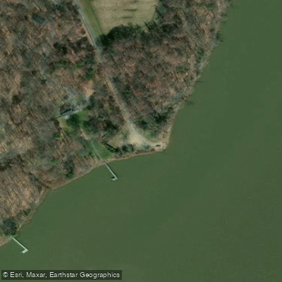
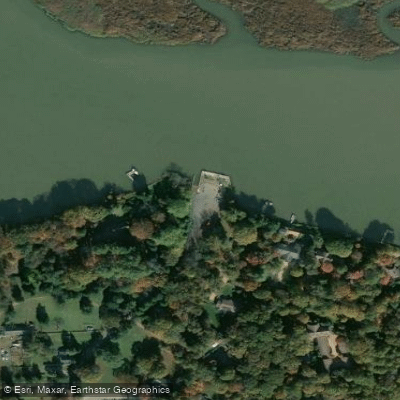
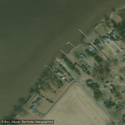
Learn how to get on Chester River. Uncover great paddling access points, boat ramps, and all the facilities you need for an unforgettable day on the water. Some locations shown may border or include private property. Always check property boundaries and applicable regulations before visiting. PaddleWays's Public & Private Land layer can help you plan your access with confidence.
Paddle smarter with real-time insights
Whether you're en route and conditions shift or you're looking for the best spot based on current flows, we enable you to make informed decisions on the fly.








Find Places to Paddle

Over 400,000 Places to Paddle
Every user gets free access to launch points, boat ramps, and public property parcels.


Tides, wind & water conditions (10 day forecast)
On open water, wind and tide matter as much as the weather. See the best times to paddle Chester River and check the marine forecast before you launch.
Loading tide predictions…
Paddling near Chester River

Patuxent River
South River
Patapsco River
Triadelphia Reservoir
Eastern Bay

Potomac River

Susquehanna River
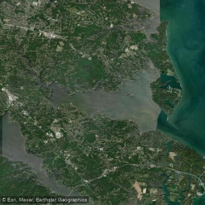
Magothy River

Little Patuxent River
Explore Maryland waters
Top paddling waters
Popular Cities
Loading popular cities...
Explore near Chester River
Access points
- West Kellam's Park Boat Ramp
- Deal Island Boat Ramp
- Triadelphia Reservoir Lake Boat Ramp
- McCoole Boat Ramp
- Broadford Recreational Park Boat Ramp
- Buckingham Wharf Access
- Deep Landing Access
- Crumpton Landing Access
- Radcliff Creek Bridge
- Chester River Bridge
- Spillway Of Chester Rive Bridge
- Unicorn Branch Bridge
- All 75 spots
Nearby waters
More in Maryland

Smarter Paddling Starts in the App.
Paddleways gives you everything you need to plan smarter, paddle better, and own every trip from first launch to takeout.