Mary B.
512 cfs at Hazelgreen
Mitschele Boat Ramp to T Bridge
Curated by PaddleWays
13.9 mi flatwater route on the Gasconade River in Missouri
Level right now
Route facts
About this route
The Mitschele to Schlicht Springs section of the Gasconade River offers a scenic 13.9-mile float through Pulaski County, Missouri. The put-in is at the Mitschele MDC Access, also known as the Highway 7 access.
The take-out is at Schlicht Springs Access, which provides a boat ramp, primitive camping sites, a privy, and a picnic area. This stretch offers good water conditions for paddling, with a mix of easy paddling and some swifter sections.
The Schlicht Springs Access is open from 4:00 AM to 10:00 PM and offers 12.8 acres of public land for river access and recreation.
Put-in and take-out
Put-in
Take-out
Hazards
No hazards are marked on Mitschele to Schlicht Springs yet. That is not the same as none being there: if you find one, report it for the next paddler.
From the community
Real trips from PaddleWays paddlers who ran this route: how the flows were, and what to watch for.
Loading trip reports
Mary B.
512 cfs at Hazelgreen
Mitschele Boat Ramp to T Bridge
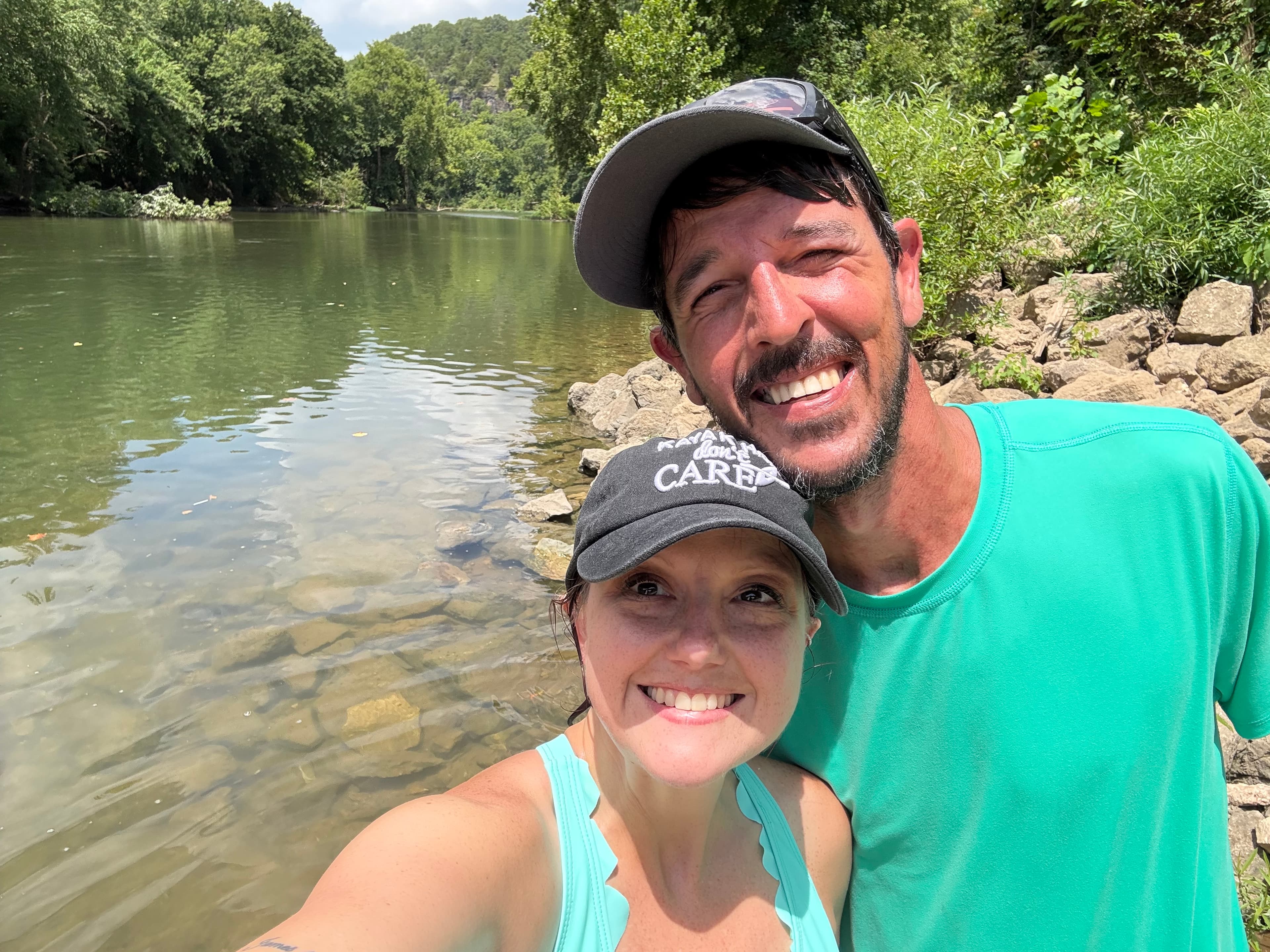
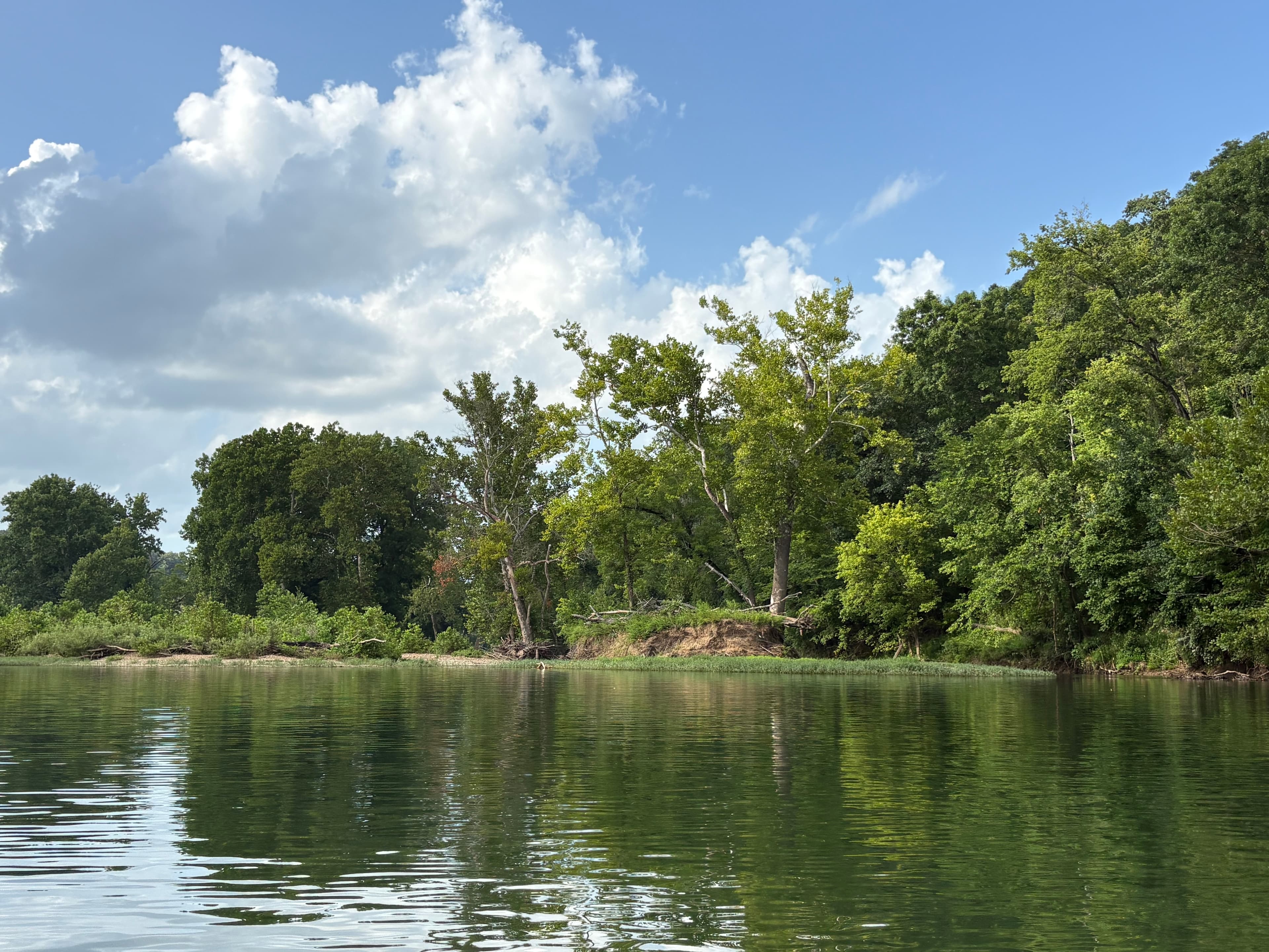
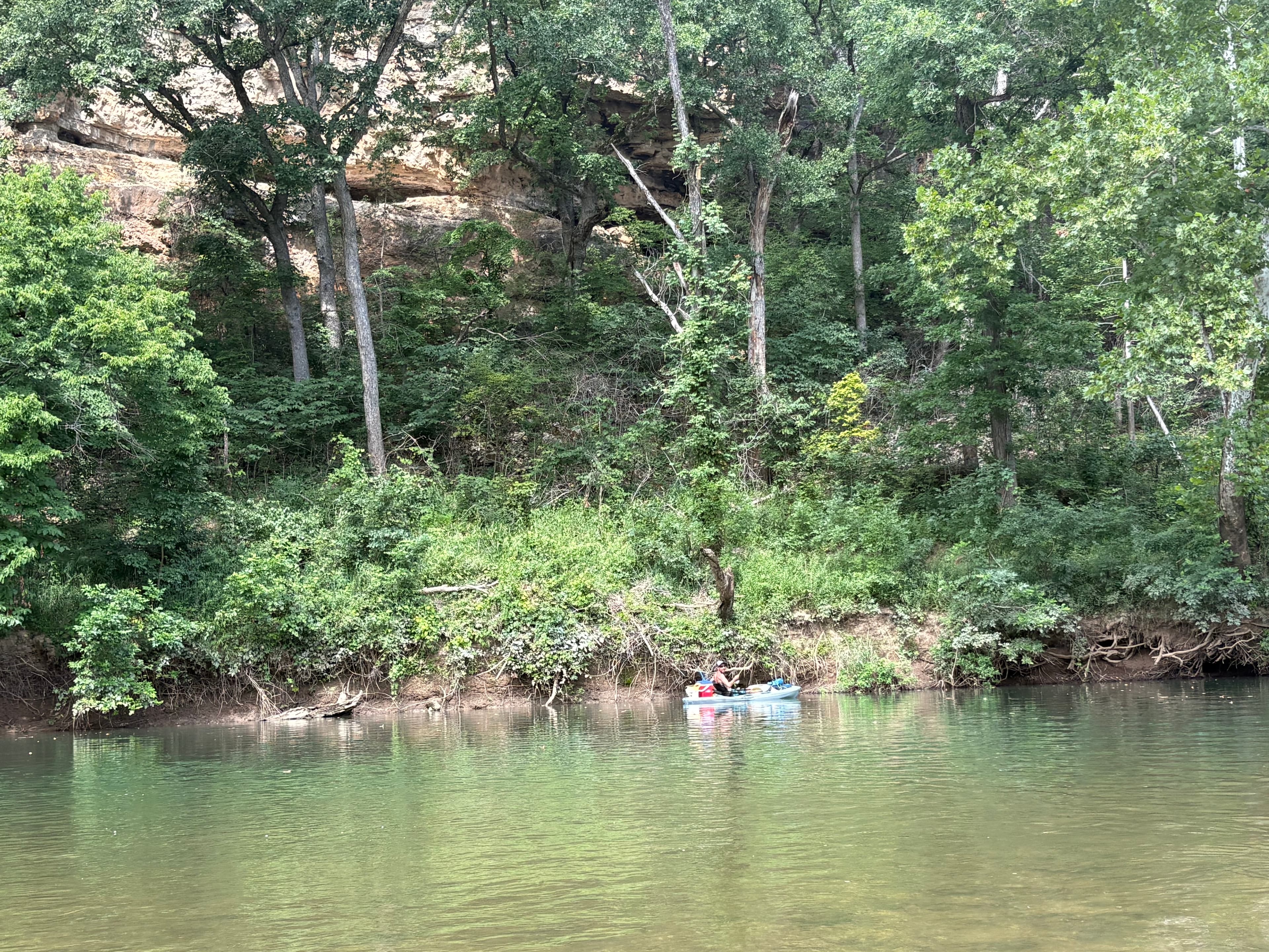
The gauges near Mitschele to Schlicht Springs and the forecast where it starts, so you can pick your day.
No forecast data available.
Same water
The other curated routes on the Gasconade River, each with how it is running now.
RouteClass II
RouteFlatwater
RouteClass II
RouteClass II
RouteClass I–II
Close by
Curated routes on other waters within an hour or so, nearest first.
on Little Piney Creek · 23 mi away
RouteClass I–II
on Little Piney Creek · 26 mi away
RouteFlatwater
on Little Piney Creek · 27 mi away
RouteClass I–II
on Niangua River · 28 mi away
RouteFlatwater
on Niangua River · 28 mi away
RouteClass I–II
on Niangua River · 29 mi away
RouteClass I
PaddleWays gives you everything you need to plan smarter, paddle better, and own every trip from first launch to takeout.
