Niangua River
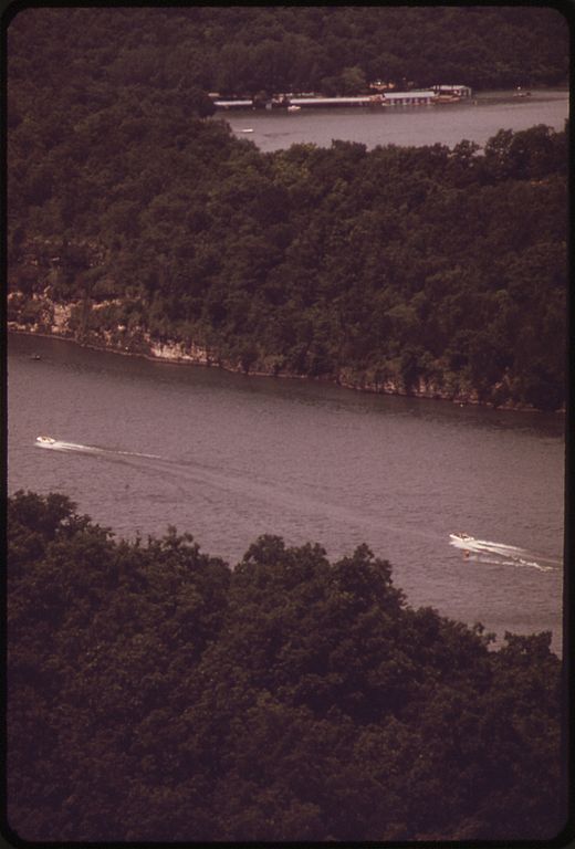
Niangua River
- Boat Ramps
- 10
- Access Points
- 24
- Campsites
- 8
The Niangua River is a scenic and popular waterway in south-central Missouri, originating near Marshfield in Webster County and flowing northward for approximately 140 miles before joining the Osage River, a tributary of the Missouri River. The river's watershed covers parts of Webster, Dallas, Laclede, and Camden counties. Paddling opportunities abound on the Niangua, with nearly 114 miles accessible for floating. The river offers a range of experiences, from calm flatwater sections to Class I-II rapids, making it suitable for beginners to intermediate paddlers.
Popular float sections include Windyville to Riverfront (14 miles), Bennett Springs to Prosperine Access (10.5 miles), and Highway 32 to Highway K-P Bridge (16.2 miles). The Niangua is best paddled from late spring through mid-fall, with early spring rains occasionally providing sufficient water levels earlier in the season. Summer weekends can be busy, as the river's cold, spring-fed waters make it a refreshing escape from the heat.
The river is renowned for its excellent trout fishing, particularly near Bennett Springs State Park. Wildlife enthusiasts may spot bald eagles, herons, and various fish species. The surrounding Ozark forests showcase a diverse array of native flora. Key landmarks include Bennett Spring State Park, a famous trout fishing destination, and Ha Ha Tonka State Park near the river's lower reaches. The Big Niangua River Trail, a 13.3-mile route ending at Ha Ha Tonka, offers paddlers a unique lake-to-river experience.
Major access points include Bennett Spring Access, Barclay Conservation Area, and Prosperine Access, with the towns of Lebanon and Camdenton serving as nearby hubs for supplies and accommodations. Historically, the Niangua River played a role in early settlement and transportation in the region. Today, it's a vital part of Missouri's outdoor recreation economy.
Safety considerations include watching for submerged logs and being prepared for sudden water level changes. Paddlers should be aware of private property boundaries and respect local regulations. For those seeking a multi-day adventure, the river offers several camping options along its course, allowing for extended trips through the heart of the Missouri Ozarks. The Niangua River provides a quintessential Ozark floating experience, combining natural beauty, recreational opportunities, and a glimpse into Missouri's rich outdoor heritage.
Water access, boat ramps & amenities
Learn how to get on Niangua River. Uncover great paddling access points, boat ramps, and all the facilities you need for an unforgettable day on the water. Some locations shown may border or include private property. Always check property boundaries and applicable regulations before visiting. PaddleWays's Public & Private Land layer can help you plan your access with confidence.
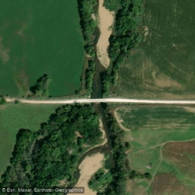
County Road JJ 203 Access
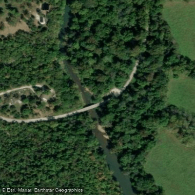
Big John Access
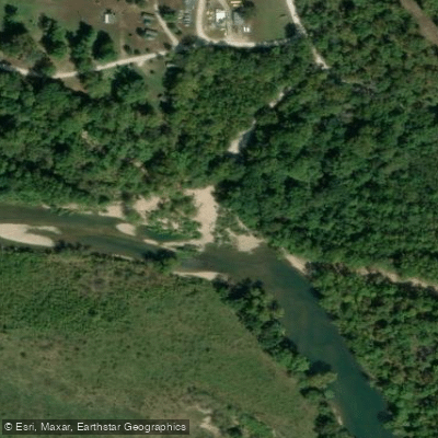
Prosperine Access
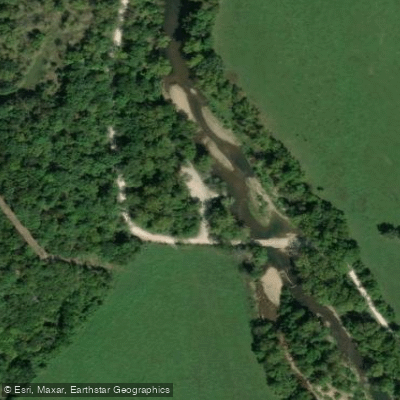
Moon Valley Access
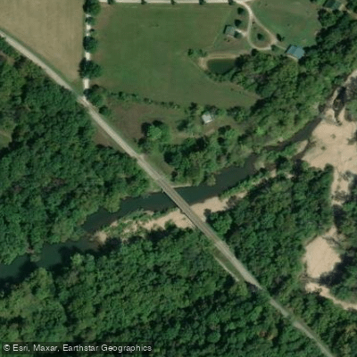
Highway K-P Bridge Access
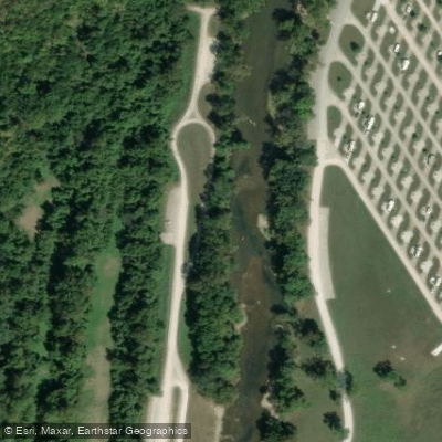
Bennett Spring Access
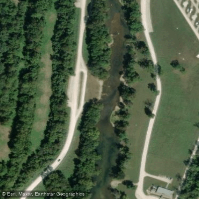
Bennett Spring Access
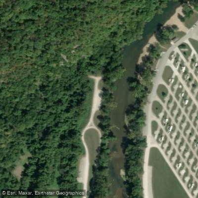
Bennett Spring Access
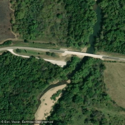
Charity Access
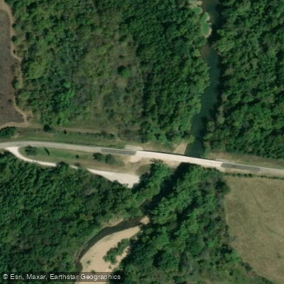
Charity Access
Paddle smarter with real-time insights
Whether you're en route and conditions shift or you're looking for the best spot based on current flows, we enable you to make informed decisions on the fly.








Find Places to Paddle

Over 400,000 Places to Paddle
Every user gets free access to launch points, boat ramps, and public property parcels.


Water and weather conditions (10 day forecast)
See the best times to paddle Niangua River and check the forecast before you go.
Niangua River at Tunnel Dam near Macks Creek, MO
All Flow Stations
Paddling near Niangua River
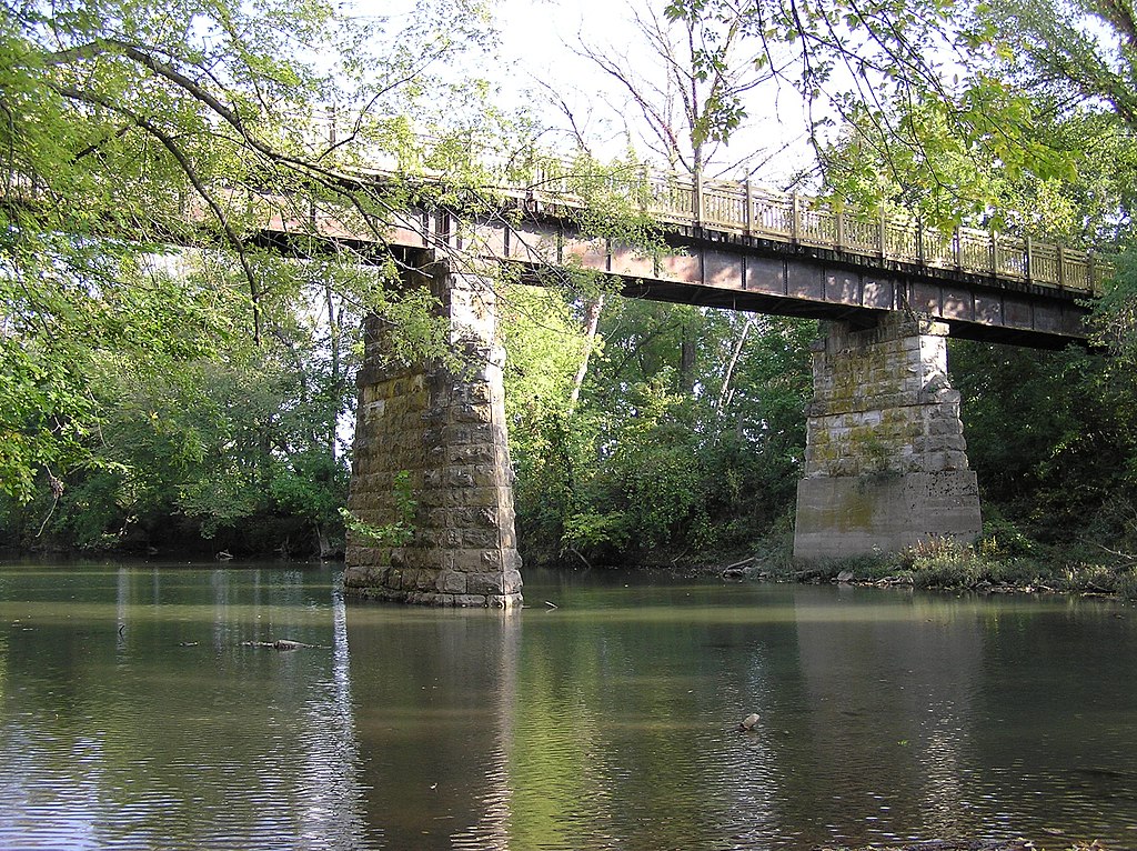
Sac River
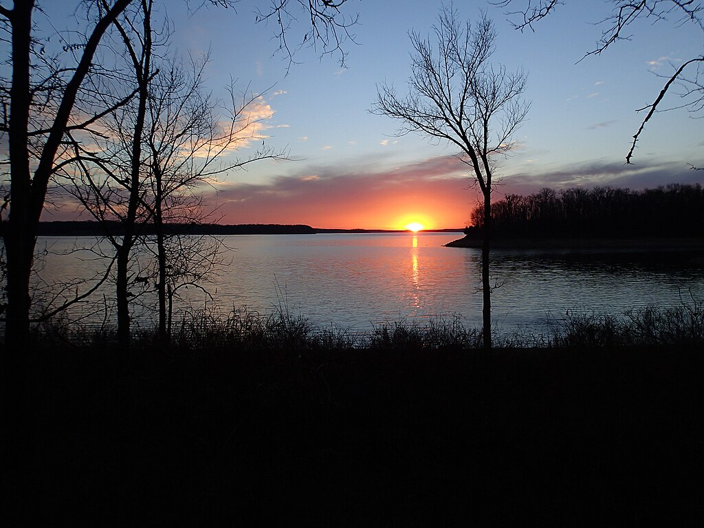
Stockton Lake
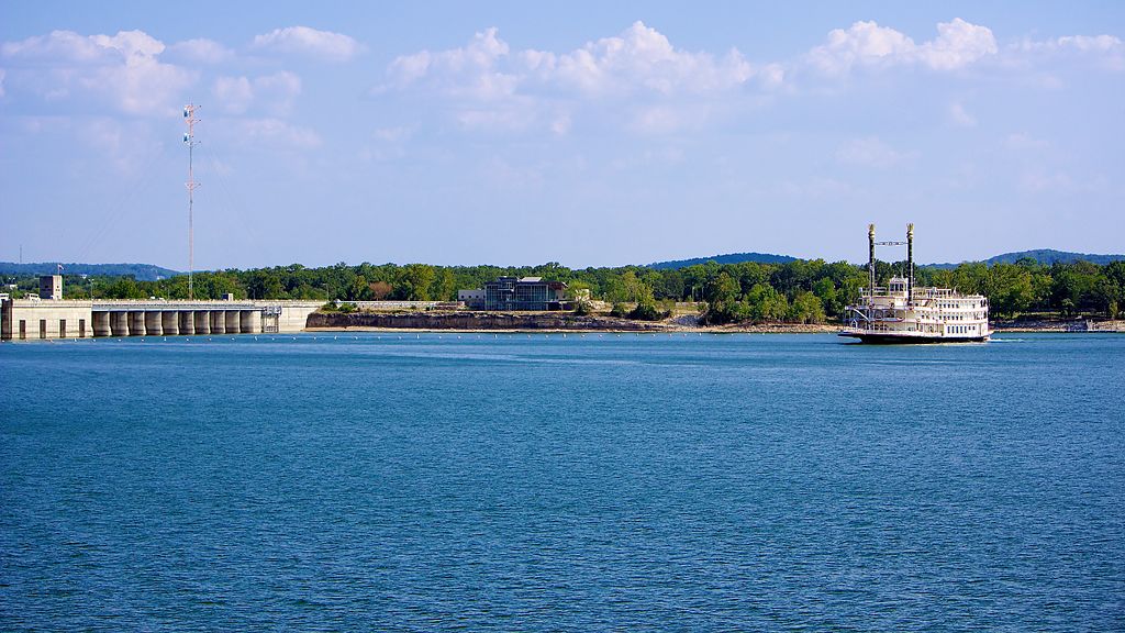
Table Rock Lake
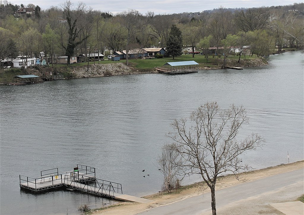
Lake Taneycomo

White River
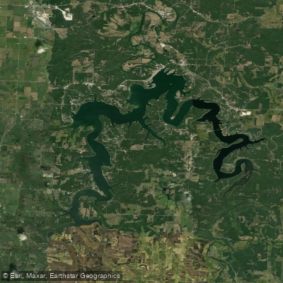
Pomme de Terre Lake
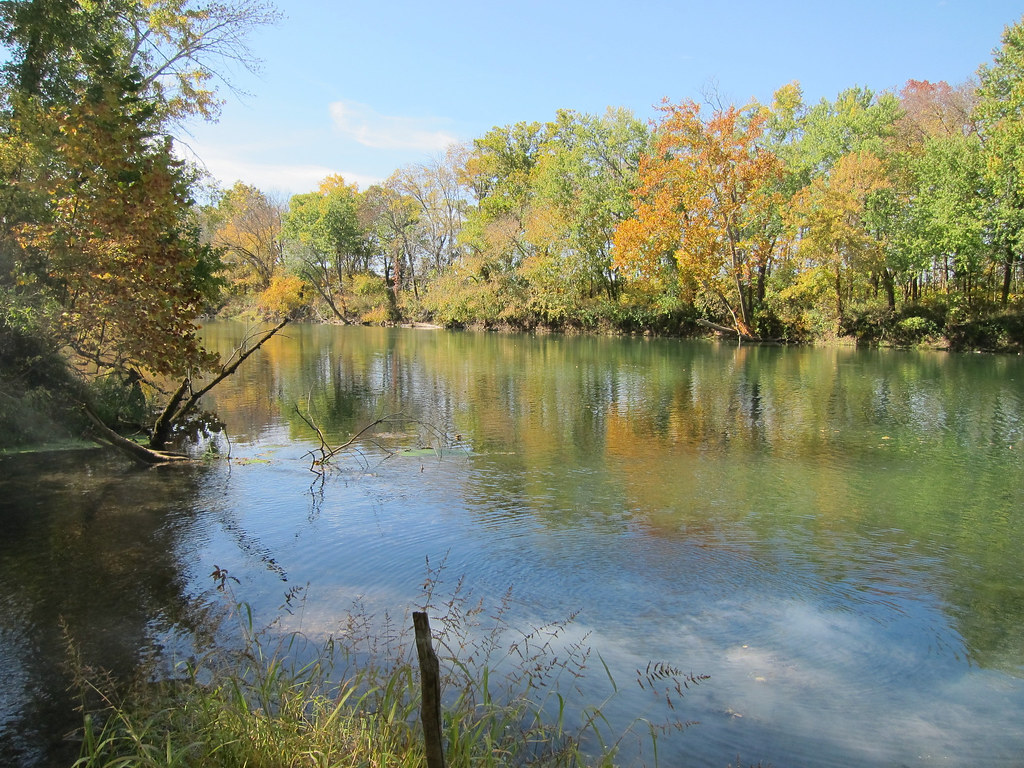
Gasconade River
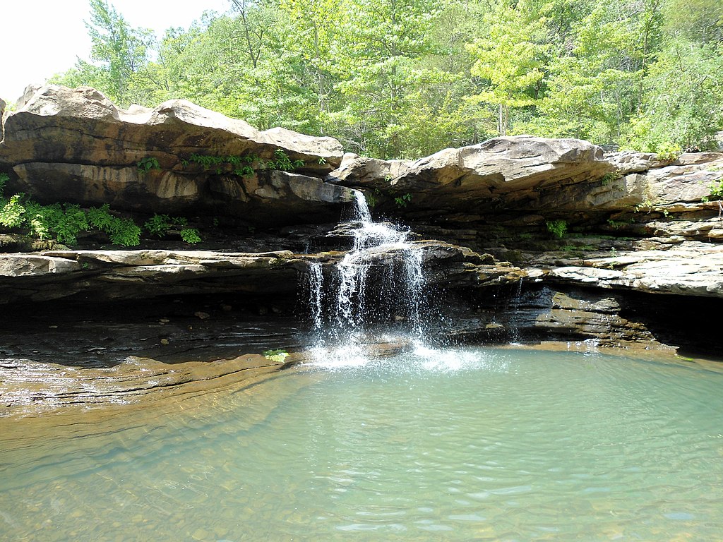
Kings River
Lake Springfield
Explore Missouri waters
Top paddling waters
Popular Cities
Loading popular cities...
Explore near Niangua River
Access points
Nearby waters
More in Missouri

Smarter Paddling Starts in the App.
Paddleways gives you everything you need to plan smarter, paddle better, and own every trip from first launch to takeout.