Gasconade River
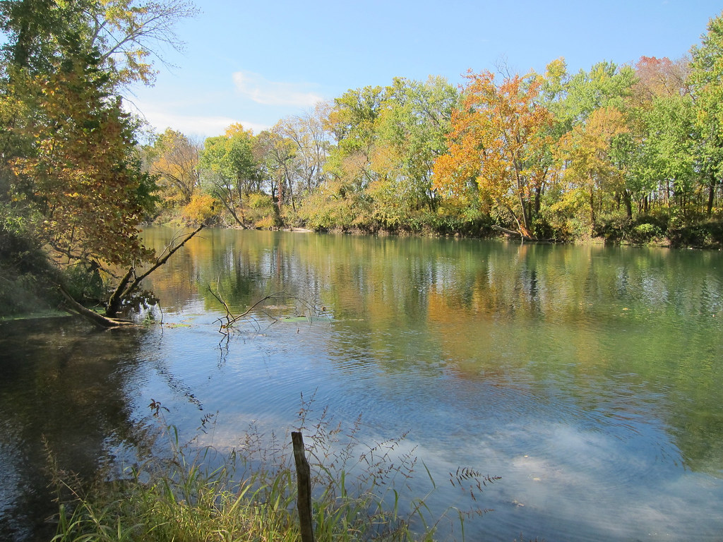
Gasconade River
- Boat Ramps
- 16
- Access Points
- 19
- Campsites
- 6
The Gasconade River is a scenic waterway that winds its way through the heart of Missouri's Ozarks. Known for its twisting nature and often referred to as one of the world's crookedest rivers, the Gasconade offers paddlers a diverse range of experiences along its 265-mile journey from its headwaters near Hartville to its confluence with the Missouri River near Hermann.
The river is characterized by long pools of slow-moving water interspersed with surprisingly fast sections, making it an excellent choice for paddlers of various skill levels. The upper reaches present a typical winding Ozark stream that gradually widens and slows as it flows northward. With a difficulty range primarily between Class I and II, the Gasconade is generally considered a good, safe option for family float trips and beginner paddlers, while still offering enough variety to keep more experienced kayakers and canoeists engaged.
Paddling opportunities abound on the Gasconade, with numerous access points and float trip options available. Popular sections include the Upper Gasconade from Wright County to Ozark Springs, the Middle Gasconade through Pulaski County, and the Lower Gasconade flowing through Maries, Osage, and Gasconade Counties. Outfitters like Ruby's Landing, Gasconade Hills Resort, and Boiling Spring Campground offer a range of float trips, from short 3-5 mile jaunts perfect for a leisurely afternoon to longer 8-10 mile adventures that can fill a full day on the water.
The best time to paddle the Gasconade is typically from late spring through early fall when water levels are most reliable. However, the river is often floatable year-round, with spring offering higher water levels and fall providing stunning foliage. Paddlers should always check current water levels and weather conditions before embarking on a trip, as low water can make some sections challenging in late summer and early fall.
The Gasconade River corridor is a haven for wildlife, with opportunities to spot wild turkeys, deer, and a variety of bird species. The river is flanked by impressive limestone bluffs topped with pines, creating a picturesque backdrop for your journey. Anglers will appreciate the river's reputation for excellent fishing, with smallmouth bass, catfish, and various sunfish species being popular targets.
Notable landmarks along the river include numerous springs that feed cool, clear water into the main channel, enhancing both the scenery and the river's flow. The river passes through or near several small Ozark towns, including Waynesville, Richland, and Dixon, which offer convenient access points and amenities for paddlers.
Safety considerations on the Gasconade include being aware of occasional low-water bridges, submerged logs, and faster currents around bends. Paddlers should always wear life jackets and be prepared for changing weather conditions. It's also important to respect private property along the riverbanks and use only designated access points.
For those seeking a multi-day adventure, the Gasconade offers excellent opportunities for overnight trips. Primitive camping is available at several access points along the river, allowing paddlers to string together longer journeys through some of Missouri's most beautiful and remote landscapes.
Whether you're looking for a quick afternoon float or an extended wilderness experience, the Gasconade River provides a perfect blend of accessibility and natural beauty, making it a cherished destination for paddlers and outdoor enthusiasts in the heart of Missouri.
Water access, boat ramps & amenities
Learn how to get on Gasconade River. Uncover great paddling access points, boat ramps, and all the facilities you need for an unforgettable day on the water. Some locations shown may border or include private property. Always check property boundaries and applicable regulations before visiting. PaddleWays's Public & Private Land layer can help you plan your access with confidence.
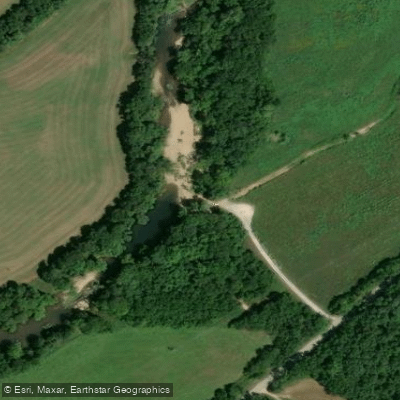
Camp Branch Access
Highway 17 Bridge
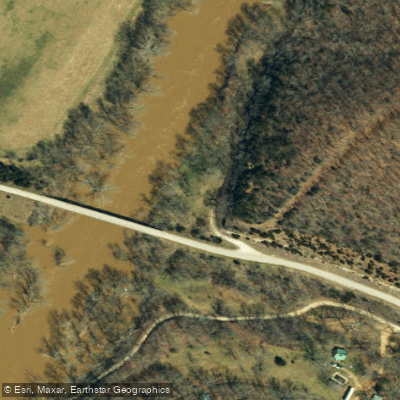
Center Point Access
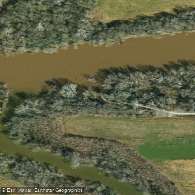
Cooper Hill Conservation Area Access
Paddle smarter with real-time insights
Whether you're en route and conditions shift or you're looking for the best spot based on current flows, we enable you to make informed decisions on the fly.








Find Places to Paddle

Over 400,000 Places to Paddle
Every user gets free access to launch points, boat ramps, and public property parcels.


Water and weather conditions (10 day forecast)
See the best times to paddle Gasconade River and check the forecast before you go.
Gasconade River near Hazelgreen, MO
All Flow Stations
Paddling near Gasconade River
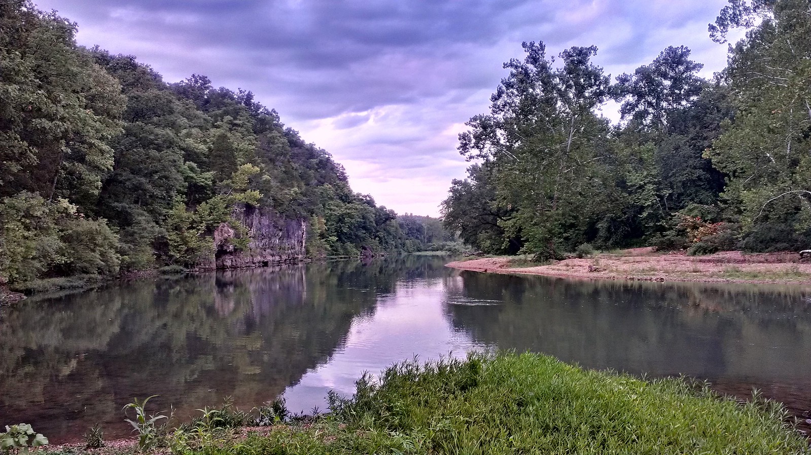
Meramec River
Osage River
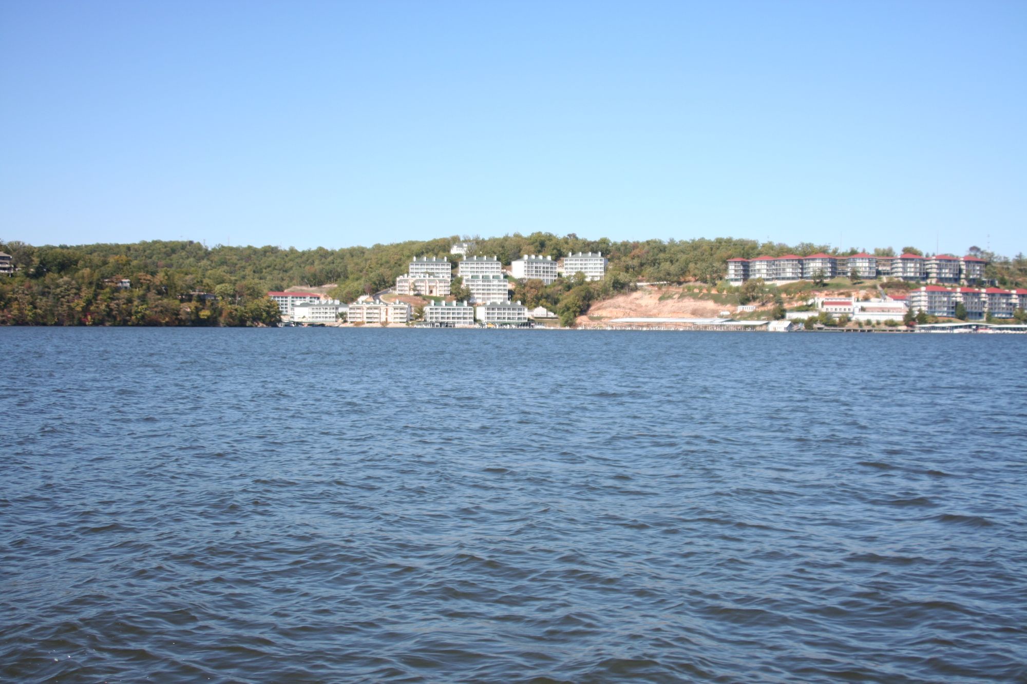
Lake of the Ozarks

Missouri River
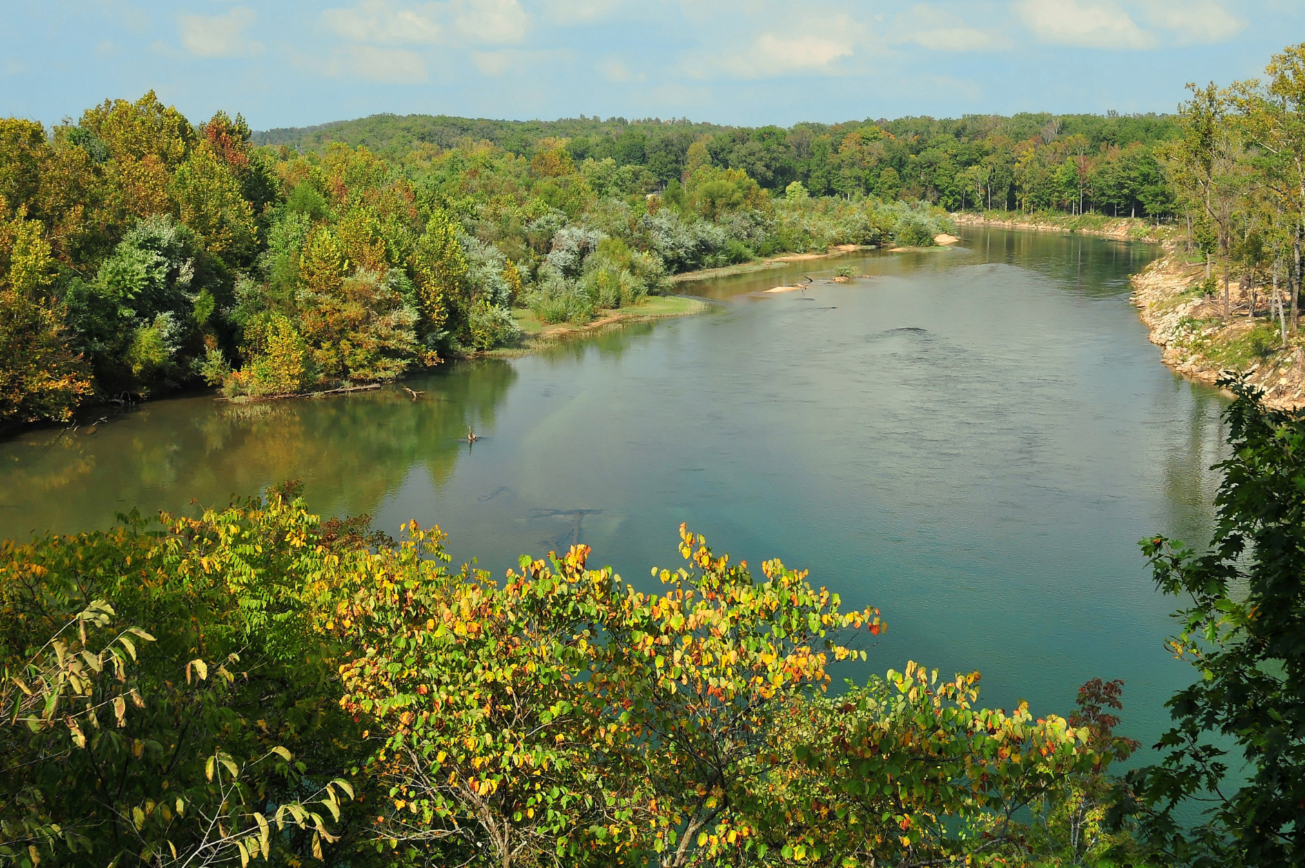
Current River
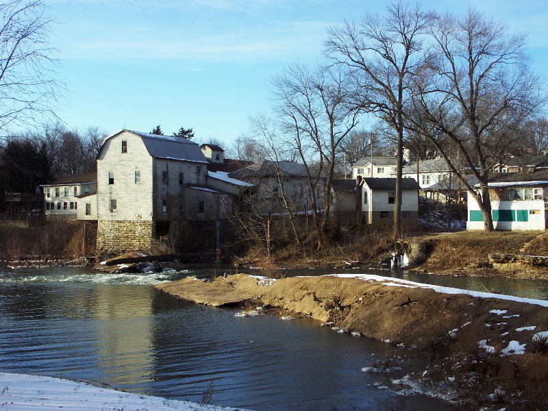
Big River
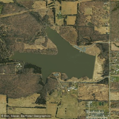
Little Prairie Lake
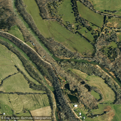
Bourbeuse River
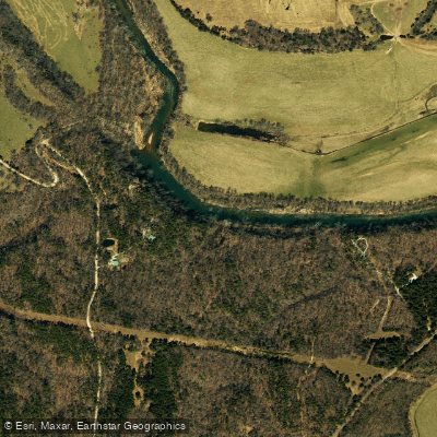
Big Piney River
Explore Missouri waters
Top paddling waters
Popular Cities
Loading popular cities...
Explore near Gasconade River
Access points
- Mitschele Boat Ramp
- Schlicht Springs Boat Ramp
- Buzzard Bluff Boat Ramp
- Adams Access Boat Ramp
- Pointers Creek Boat Ramp
- Hazelgreen Boat Ramp
- Camp Branch Boat Ramp
- Bell Chute Boat Ramp
- Riddle Bridge Boat Ramp
- Wilbur Allen Memorial Conservation Area Boat Ramp
- Paydown Boat Ramp
- Fredericksburg Ferry Boat Ramp
- All 169 spots
Nearby waters
More in Missouri

Smarter Paddling Starts in the App.
Paddleways gives you everything you need to plan smarter, paddle better, and own every trip from first launch to takeout.