Helena Valley Regulating Reservoir
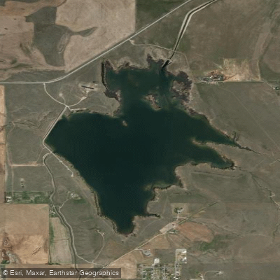
Helena Valley Regulating Reservoir
- Boat Ramps
- 1
- Access Points
- 1
- Campsites
- 3
Helena Valley Regulating Reservoir, located near Helena, Montana, offers a unique paddling experience with a mix of natural features and regulated access. The reservoir is surrounded by a five-mile loop trail that alternates between single and doubletrack, providing paddlers with scenic views of the surrounding Helena Valley and mountains.
The reservoir's shoreline is characterized by tallgrass meadows and small wetlands, creating diverse habitats for wildlife. Birdwatchers will appreciate the opportunity to spot migrating birds in the wetland areas. Several short spur trails along the main loop offer excellent vantage points for observing the wetlands and surrounding landscape.
Fall is a particularly scenic time to visit, as the reservoir is bordered by aspen groves that display vibrant foliage. The area's relatively flat terrain, with only 80 feet of elevation gain around the entire loop, suggests calm paddling conditions for most of the year.
Anglers should note that the reservoir supports populations of kokanee salmon, rainbow trout, and perch. A special snagging season for kokanee salmon runs from September 1st through October 31st, with daily limits of 35 salmon and a possession limit of 70.
During winter months, ice fishing is possible when conditions allow. Ice thickness can vary significantly, ranging from thick enough to support a vehicle to open water. Extreme caution is advised when accessing the ice, and paddlers should be aware of potential ice hazards during shoulder seasons.
Visitors should be prepared for the possibility of seasonal restrictions or closures related to wildlife management or water level fluctuations. As a regulating reservoir, water levels may change throughout the year, potentially affecting access points and paddling conditions.
Water access, boat ramps & amenities
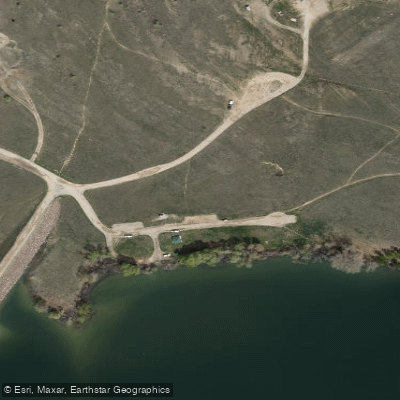
Learn how to get on Helena Valley Regulating Reservoir. Uncover great paddling access points, boat ramps, and all the facilities you need for an unforgettable day on the water. Some locations shown may border or include private property. Always check property boundaries and applicable regulations before visiting. PaddleWays's Public & Private Land layer can help you plan your access with confidence.
Paddle smarter with real-time insights
Whether you're en route and conditions shift or you're looking for the best spot based on current flows, we enable you to make informed decisions on the fly.








Find Places to Paddle

Over 400,000 Places to Paddle
Every user gets free access to launch points, boat ramps, and public property parcels.


Water and weather conditions (10 day forecast)
See the best times to paddle Helena Valley Regulating Reservoir and check the forecast before you go.
Helena Valley Reservoir and Dam
Paddling near Helena Valley Regulating Reservoir
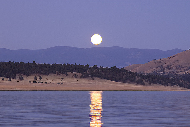
Hauser Lake

Missouri River
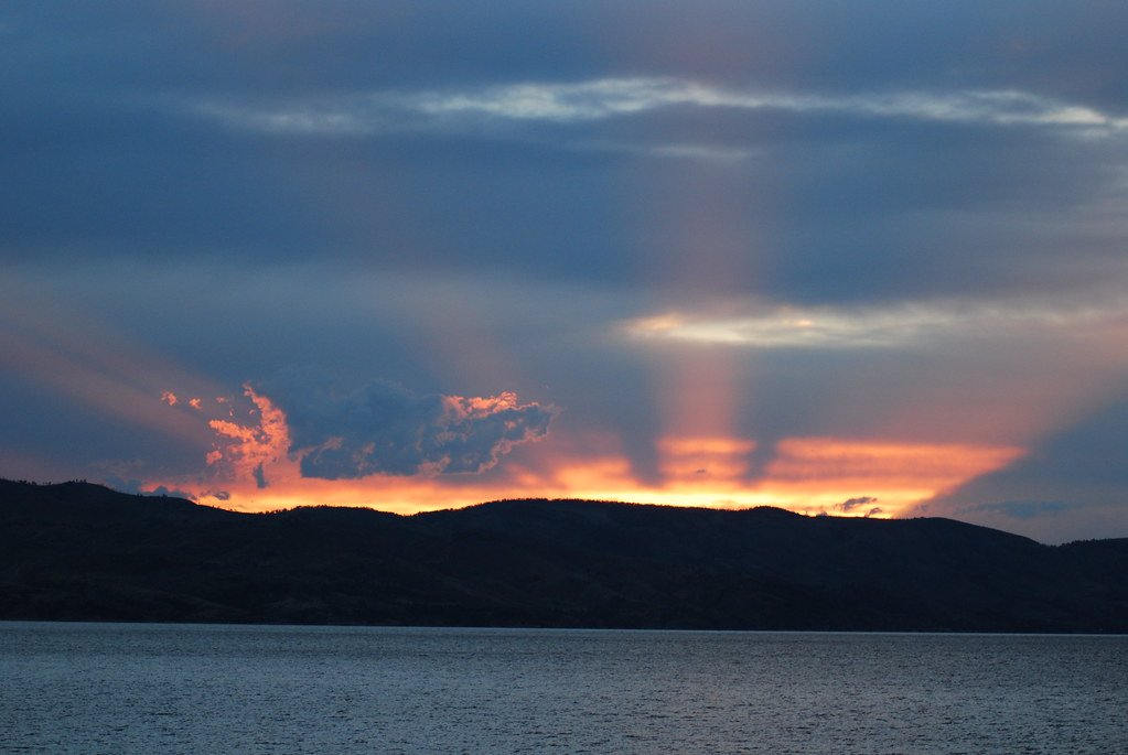
Canyon Ferry Lake
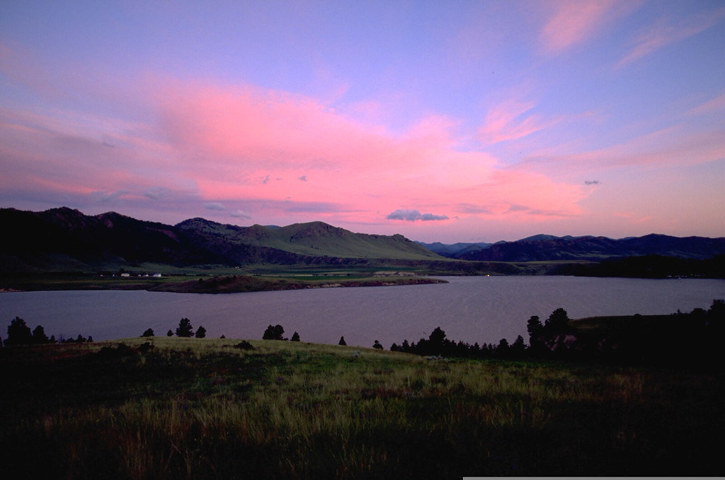
Holter Lake
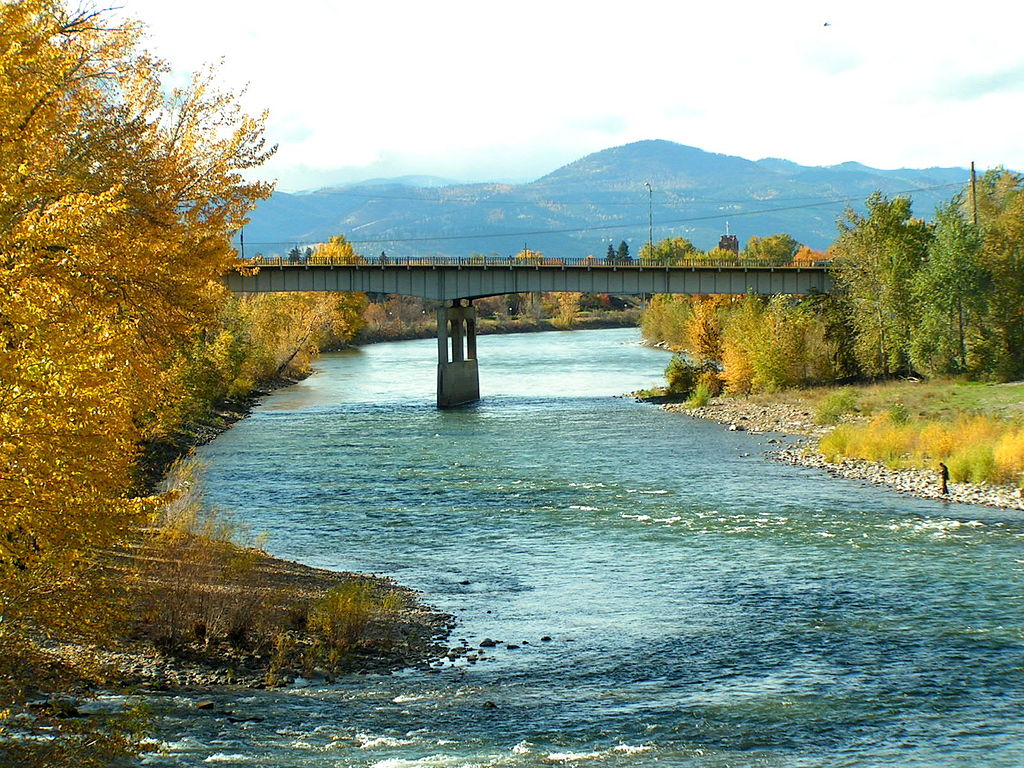
Clark Fork
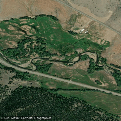
Boulder River
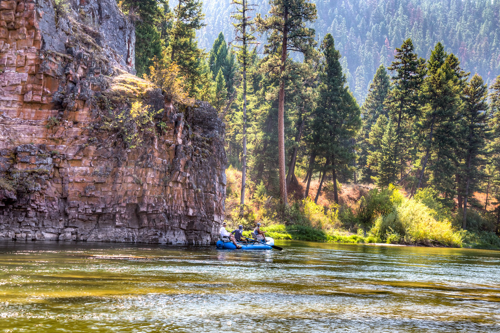
Blackfoot River
Smith River
Lake Helena
Explore Montana waters
Top paddling waters
Popular Cities
Loading popular cities...
Explore near Helena Valley Regulating Reservoir
Access points
- Helena Valley Reservoir Boat Ramp
- Helena Valley Canal Bridge
- Helena Valley Canal 073 Bridge
- Helena Valley Canal 074 Bridge
- Spokane Creek 143 Bridge
- Helena Valley Canal 081 Bridge
- Prickly Pear Creek 083 Bridge
- Prickly Pear Creek 009 Bridge
- Prickly Pear Creek Bridge
- Causeway-lake Helena 072 Bridge
- Prickly Pear Creek Bridge
- Prickly Pear Creek Bridge
- All 19 spots
Nearby waters
More in Montana

Smarter Paddling Starts in the App.
Paddleways gives you everything you need to plan smarter, paddle better, and own every trip from first launch to takeout.