Hauser Lake
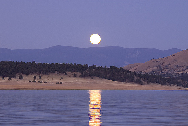
Hauser Lake
- Boat Ramps
- 5
- Access Points
- 16
- Campsites
- 9
Hauser Lake is a 3,200-acre reservoir created by Hauser Dam on the Missouri River near Helena, Montana. The lake reaches depths of up to 70 feet and offers diverse paddling opportunities. Several campgrounds and recreation areas provide access, including White Sandy Campground, Devil's Elbow Recreation Site, and Black Sandy State Park. These sites offer boat launches, courtesy docks, and amenities like picnic tables and fire rings.
Paddlers can explore the lake's 28 miles of shoreline, taking in views of the Big Belt Mountains and Eldorado Bar. The Missouri River Walk, a 1.5-mile trail near the lake, provides opportunities for wildlife viewing. The lake supports populations of rainbow trout, brown trout, walleye, and perch, making it popular among anglers.
While open year-round, the best time to paddle Hauser Lake is late May to early June when temperatures are warm but crowds are smaller than peak summer months. Summers can get busy with motorized boats, water skiers, and jet skiers, so paddlers should exercise caution. The Lakeside Bar, Restaurant, and Marina offers a swimming area and small beach, though there is no lifeguard on duty.
Rental options for kayaks, canoes, and paddleboards are available through local outfitters. Rentals typically include life jackets and basic safety equipment. When planning a trip, be aware that use of watercraft is not permitted after dusk. Children 12 and under are required to wear life jackets at all times on the water.
Hauser Lake's proximity to Helena (about 7 miles or a 24-minute drive) makes it easily accessible for day trips while still offering a less crowded alternative to some of Montana's more well-known lakes.
Water access, boat ramps & amenities
Learn how to get on Hauser Lake. Uncover great paddling access points, boat ramps, and all the facilities you need for an unforgettable day on the water. Some locations shown may border or include private property. Always check property boundaries and applicable regulations before visiting. PaddleWays's Public & Private Land layer can help you plan your access with confidence.
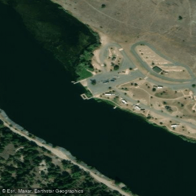
Riverside Campground Access
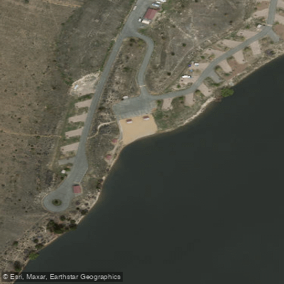
White Sandy Access
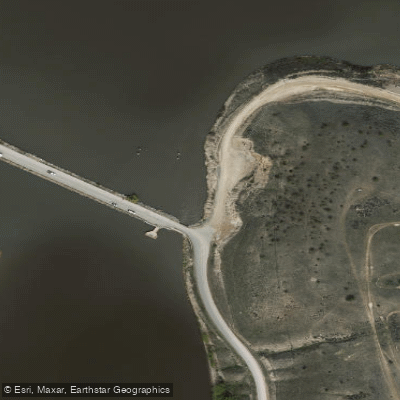
Causeway Access
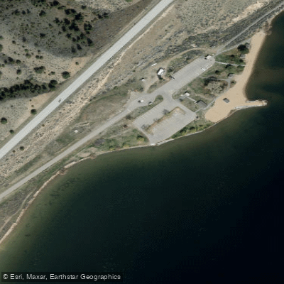
Clark's Bay Access
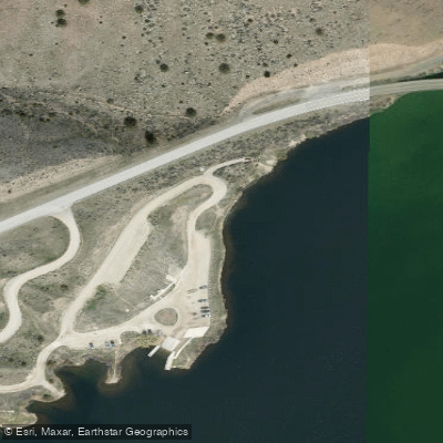
York Bridge Access
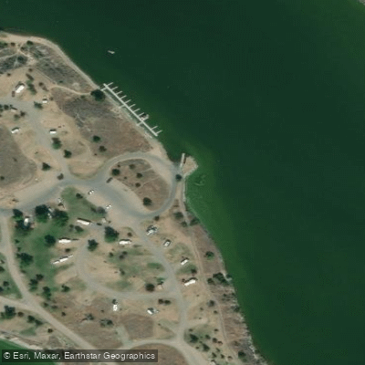
Devils Elbow Campground Access
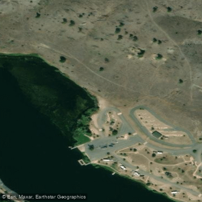
Riverside Access
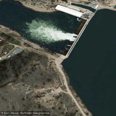
Hauser Dam Access
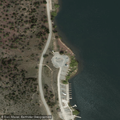
Black Sandy State Park Access
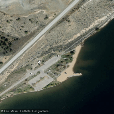
Clark's Bay Recreation Area Access
Paddle smarter with real-time insights
Whether you're en route and conditions shift or you're looking for the best spot based on current flows, we enable you to make informed decisions on the fly.








Find Places to Paddle

Over 400,000 Places to Paddle
Every user gets free access to launch points, boat ramps, and public property parcels.


Water and weather conditions (10 day forecast)
See the best times to paddle Hauser Lake and check the forecast before you go.
Missouri River bl Hauser Dam near Helena MT
All Flow Stations
Paddling near Hauser Lake

Missouri River
Canyon Ferry Lake
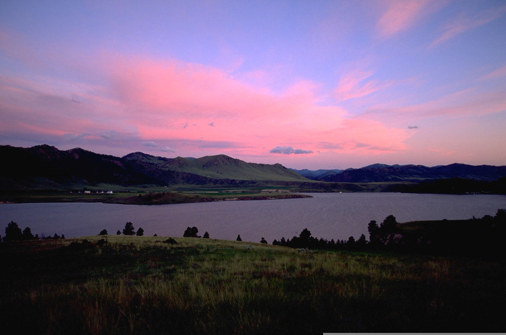
Holter Lake
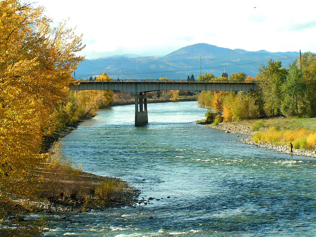
Clark Fork
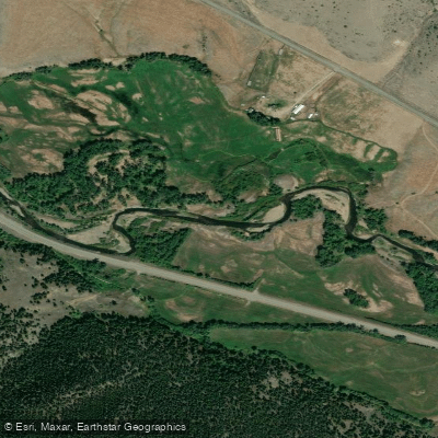
Boulder River
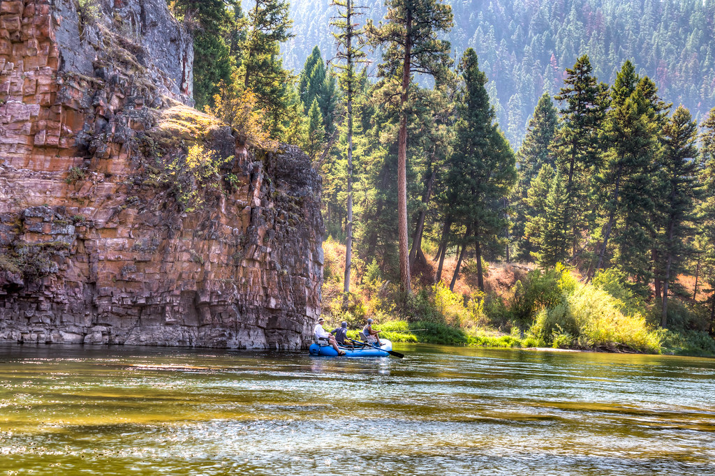
Blackfoot River
Smith River
Lake Helena
Helena Valley Regulating Reservoir
Explore Montana waters
Top paddling waters
Popular Cities
Loading popular cities...
Explore near Hauser Lake
Access points
Nearby waters
More in Montana

Smarter Paddling Starts in the App.
Paddleways gives you everything you need to plan smarter, paddle better, and own every trip from first launch to takeout.