Holter Lake
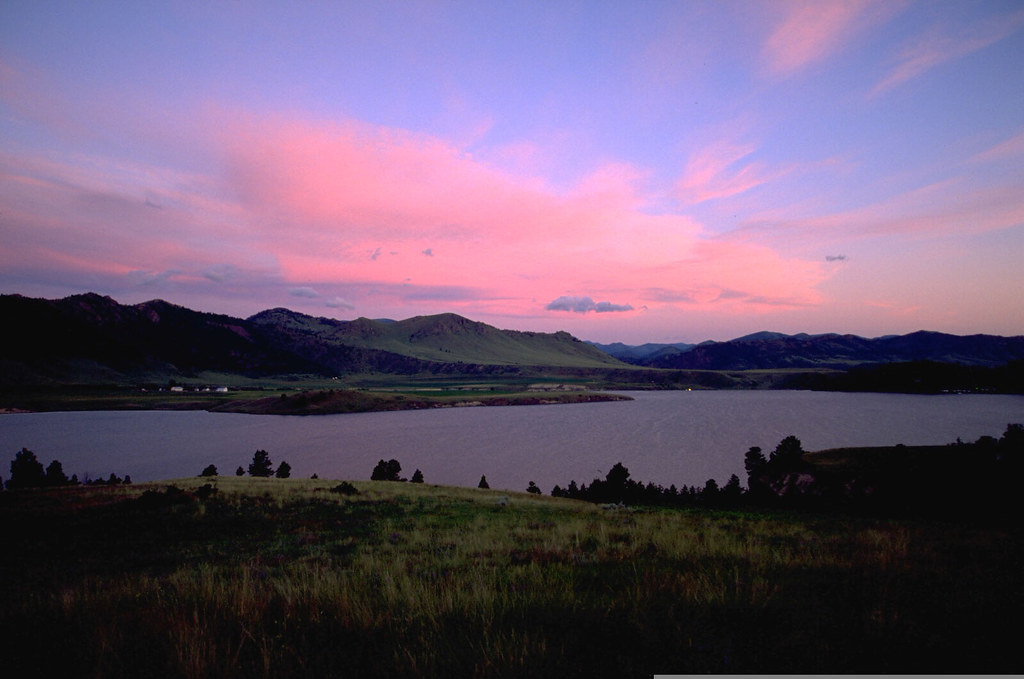
Holter Lake
- Boat Ramps
- 2
- Access Points
- 7
- Campsites
- 5
Holter Lake is a 25-mile long reservoir on the Missouri River in Montana, offering diverse paddling opportunities. The lake features a scenic 6-mile limestone canyon with impressive rock walls, known as the Gates of the Mountains. Paddlers can access the lake via public boat ramps managed by the Bureau of Land Management, including launches at three campgrounds around the lake.
The lake is popular for both motorized boating and paddle sports. Kayakers and canoeists should be aware of heavy boat traffic, especially in summer, which can make paddling more challenging. Wind can be a significant hazard, particularly when traveling north towards Canyon Ferry Lake. The lake's southern portion is more sheltered, with tall cliffs and small mountains providing some wind protection.
Wildlife viewing is a highlight, with opportunities to spot bighorn sheep, bald eagles, deer, blue herons, and pelicans. The lake is also known for its fishing, with rainbow trout, brown trout, walleye, and perch among the species present.
For overnight trips, three BLM campgrounds offer amenities including boat docks and two-wheel drive boat launches. Camping costs $10 per day, with reservations recommended during peak season.
Paddlers should be prepared for Montana's variable weather, which can change rapidly. Bear safety precautions are necessary, as the area is well-populated by bears. Paddlers should carry bear spray and practice proper food storage techniques.
Notable paddling routes include the 16-mile stretch from Upper Holter Lake to Lower Holter Lake, passing landmarks like Mann Gulch and the Sleeping Giant rock formation. The Gates of the Mountains area offers particularly scenic paddling. Some hiking trails, like Meriwether Canyon Trail, are accessible only by boat, providing opportunities to combine paddling with hiking excursions.
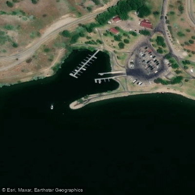
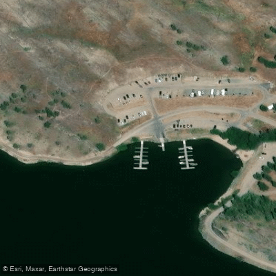
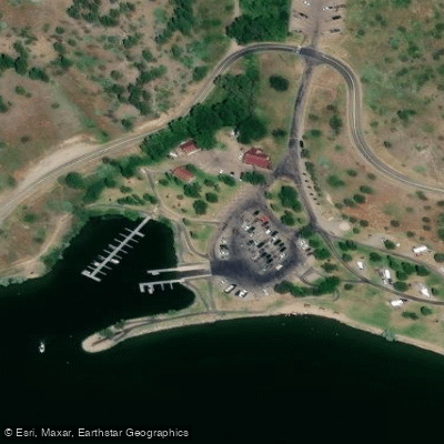
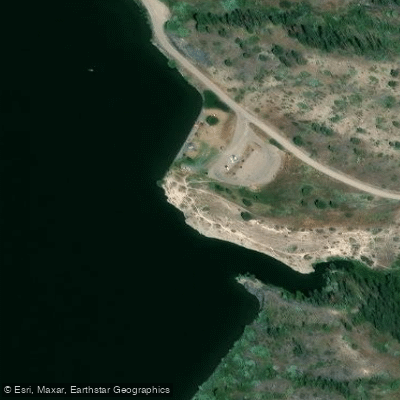
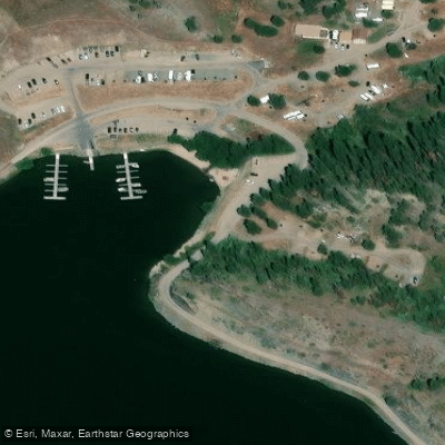
Water access, boat ramps & amenities
Learn how to get on Holter Lake. Uncover great paddling access points, boat ramps, and all the facilities you need for an unforgettable day on the water. Some locations shown may border or include private property. Always check property boundaries and applicable regulations before visiting. PaddleWays's Public & Private Land layer can help you plan your access with confidence.
Paddle smarter with real-time insights
Whether you're en route and conditions shift or you're looking for the best spot based on current flows, we enable you to make informed decisions on the fly.








Find Places to Paddle

Over 400,000 Places to Paddle
Every user gets free access to launch points, boat ramps, and public property parcels.


Water and weather conditions (10 day forecast)
See the best times to paddle Holter Lake and check the forecast before you go.
No forecast data available.
Paddling near Holter Lake
Hauser Lake

Missouri River
Canyon Ferry Lake
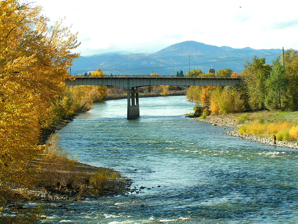
Clark Fork
Boulder River
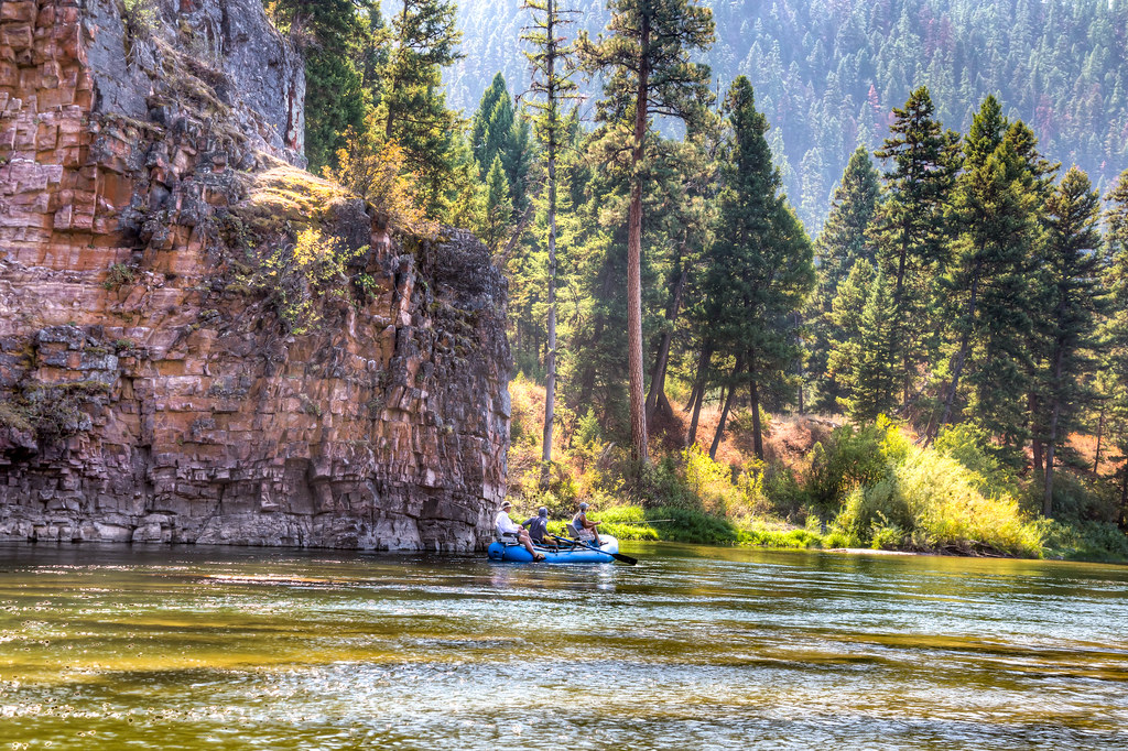
Blackfoot River
Smith River
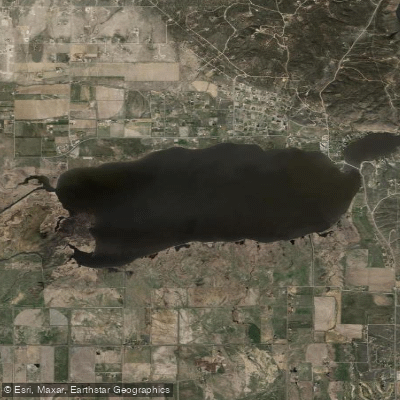
Lake Helena
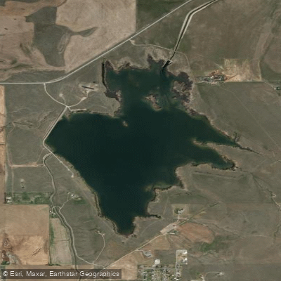
Helena Valley Regulating Reservoir
Explore Montana waters
Top paddling waters
Popular Cities
Loading popular cities...
Explore near Holter Lake
Access points
Nearby waters
More in Montana

Smarter Paddling Starts in the App.
Paddleways gives you everything you need to plan smarter, paddle better, and own every trip from first launch to takeout.