Cooney Reservoir
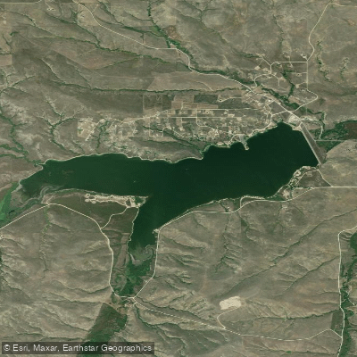
Cooney Reservoir
- Boat Ramps
- 3
- Access Points
- 3
- Campsites
- 1
Cooney Reservoir, located in south-central Montana, offers diverse paddling opportunities on its 1,000-acre surface. The reservoir, created in 1937 by damming Red Lodge Creek, sits at an elevation of 4,250 feet and is surrounded by Cooney State Park.
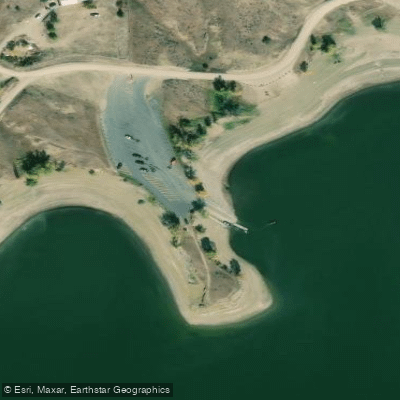
Access is convenient via three boat ramps with docks spread around the lake. The main access road is well-signed, running west from Hwy 212 south of Joliet for about 8 miles to reach the dam. From there, roads lead to different park units and launch points.
Summer is the prime paddling season, with water temperatures warming to comfortable swimming levels. The reservoir can get busy, particularly on weekends, with various watercraft sharing the space. Paddlers should be prepared to navigate around motorboats, water skiers, and jet skis.
The reservoir's 1,078-acre expanse offers ample exploration opportunities. The shoreline provides scenic views of the distant Beartooth Mountain Range, enhancing the paddling experience.
Wildlife viewing is a highlight, with over 100 bird species documented in the park. Depending on the season, paddlers may spot American kestrels, sandhill cranes, bald eagles, and even pelicans.
Facilities for paddlers include multiple campgrounds around the lake, with Marshall Cove offering showers and drinking water. Day-use amenities include picnic areas and a fish cleaning station at Red Lodge Arm.
Paddlers should be aware that water levels fluctuate significantly throughout the year, peaking in spring due to mountain runoff. The reservoir serves irrigation purposes, which can affect water levels and potentially paddling conditions.
Non-resident paddlers must pay a $5 day-use fee to access the park. While no specific paddling regulations are mentioned, all boaters should follow standard water safety practices and be aware of potential crowding during peak summer months.
Water access, boat ramps & amenities
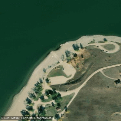
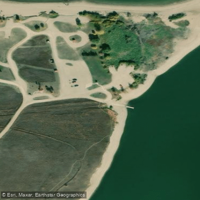
Learn how to get on Cooney Reservoir. Uncover great paddling access points, boat ramps, and all the facilities you need for an unforgettable day on the water. Some locations shown may border or include private property. Always check property boundaries and applicable regulations before visiting. PaddleWays's Public & Private Land layer can help you plan your access with confidence.
Paddle smarter with real-time insights
Whether you're en route and conditions shift or you're looking for the best spot based on current flows, we enable you to make informed decisions on the fly.








Find Places to Paddle

Over 400,000 Places to Paddle
Every user gets free access to launch points, boat ramps, and public property parcels.


Water and weather conditions (10 day forecast)
See the best times to paddle Cooney Reservoir and check the forecast before you go.
No forecast data available.
Paddling near Cooney Reservoir
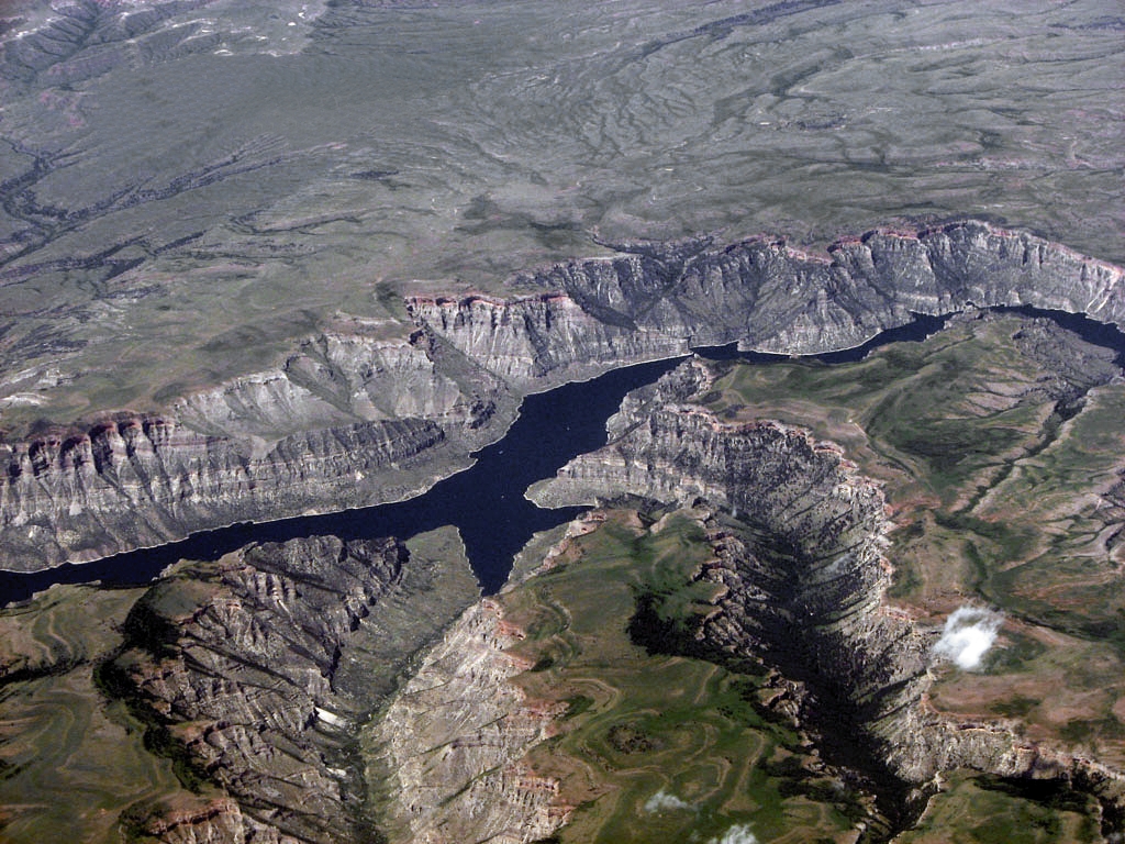
Bighorn Lake
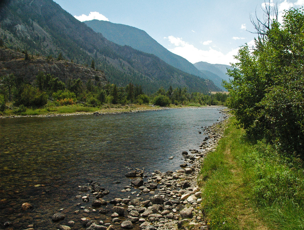
Stillwater River
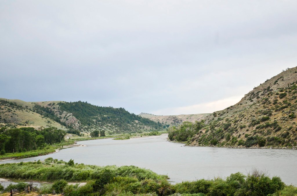
Yellowstone River
Clarks Fork Yellowstone River
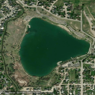
Lake Elmo
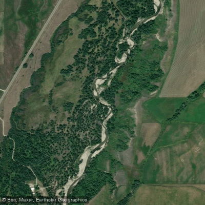
Rock Creek
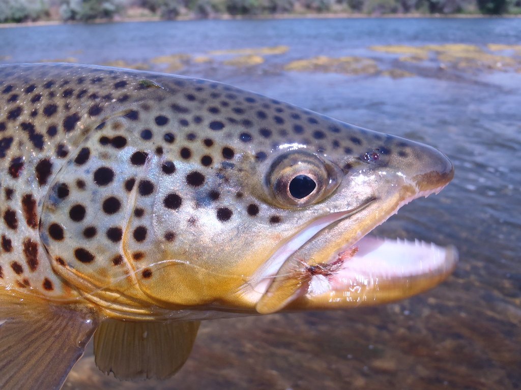
Bighorn River
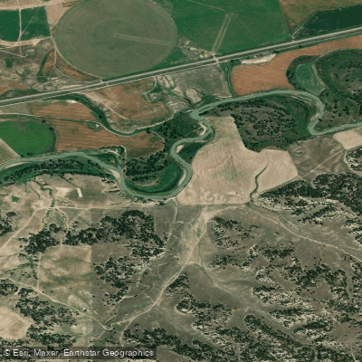
Musselshell River
Explore Montana waters
Top paddling waters
Popular Cities
Loading popular cities...
Explore near Cooney Reservoir
Access points
- Cooney Reservoir State Park Lakeshore Boat Ramp
- Cooney Reservoir State Park Northshore Boat Ramp
- Cooney Reservoir State Park Red Lodge Creek Boat Ramp
- Cooney Res Spillway 014 Bridge
- Red Lodge Creek 013 Bridge
- Red Lodge Creek 012 Bridge
- Volney Creek 015 Bridge
- Red Lodge Creek 044 Bridge
- Red Lodge Creek 011 Bridge
- Cooney Campground
Nearby waters
More in Montana

Smarter Paddling Starts in the App.
Paddleways gives you everything you need to plan smarter, paddle better, and own every trip from first launch to takeout.