Musselshell River
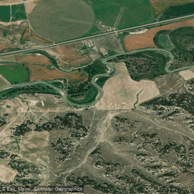
Musselshell River
- Boat Ramps
- 0
- Access Points
- 2
- Campsites
- 0
The Musselshell River is a significant waterway in central Montana, originating at the confluence of its North and South Forks near Martinsdale. From there, it flows northeast for approximately 342 miles before emptying into Fort Peck Lake on the Missouri River. The river drains a watershed of about 9,000 square miles, serving as a vital lifeline for the region's farms, ranches, and communities.
Paddling opportunities on the Musselshell are diverse but generally suited for intermediate to advanced paddlers due to variable water levels and occasional obstacles. The river can be divided into three main sections: the Upper Musselshell from Martinsdale to Harlowton, the Middle Musselshell from Harlowton to Roundup, and the Lower Musselshell from Roundup to Fort Peck Lake. The difficulty ranges from flatwater to Class II, with most challenging conditions typically occurring during spring runoff.
Late spring through early summer usually offers the best paddling conditions, though water levels can fluctuate significantly based on snowmelt and rainfall. Autumn can also provide pleasant paddling, but water levels may be low.
The Musselshell's ecosystem supports a variety of wildlife, including deer, antelope, and numerous bird species. The river corridor is home to cottonwood galleries and native prairie vegetation. Fish species vary along the river's course, with brown trout dominating the upper reaches, transitioning to warmwater species like smallmouth bass and walleye in the lower sections.
Key access points include Martinsdale, Harlowton, Roundup, and Mosby. The river passes through a landscape of rolling hills, badlands, and agricultural plains, offering scenic views of central Montana's countryside.
Historically, the Musselshell served as a transportation route for Native American tribes and later for early settlers. Today, it plays a crucial role in irrigation and supports recreational activities.
Safety considerations include checking current water levels, being prepared for remote stretches with limited services, and watching for obstacles such as log jams or fences. Regulations regarding fishing and river access should be reviewed before trips.
Multi-day trips are possible, particularly on the lower sections, but require careful planning due to limited developed campsites and long distances between access points. The Musselshell offers a unique, less-crowded alternative to Montana's more famous rivers, providing solitude and a true taste of the state's central region.
Water access, boat ramps & amenities
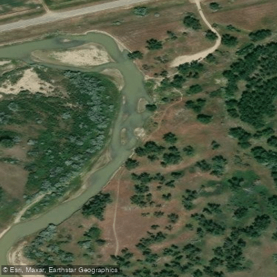
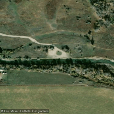
Learn how to get on Musselshell River. Uncover great paddling access points, boat ramps, and all the facilities you need for an unforgettable day on the water. Some locations shown may border or include private property. Always check property boundaries and applicable regulations before visiting. PaddleWays's Public & Private Land layer can help you plan your access with confidence.
Paddle smarter with real-time insights
Whether you're en route and conditions shift or you're looking for the best spot based on current flows, we enable you to make informed decisions on the fly.








Find Places to Paddle

Over 400,000 Places to Paddle
Every user gets free access to launch points, boat ramps, and public property parcels.


Water and weather conditions (10 day forecast)
See the best times to paddle Musselshell River and check the forecast before you go.
Musselshell River nr Martinsdale, MT
All Flow Stations
Paddling near Musselshell River
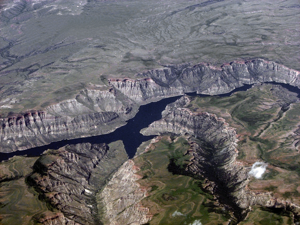
Bighorn Lake
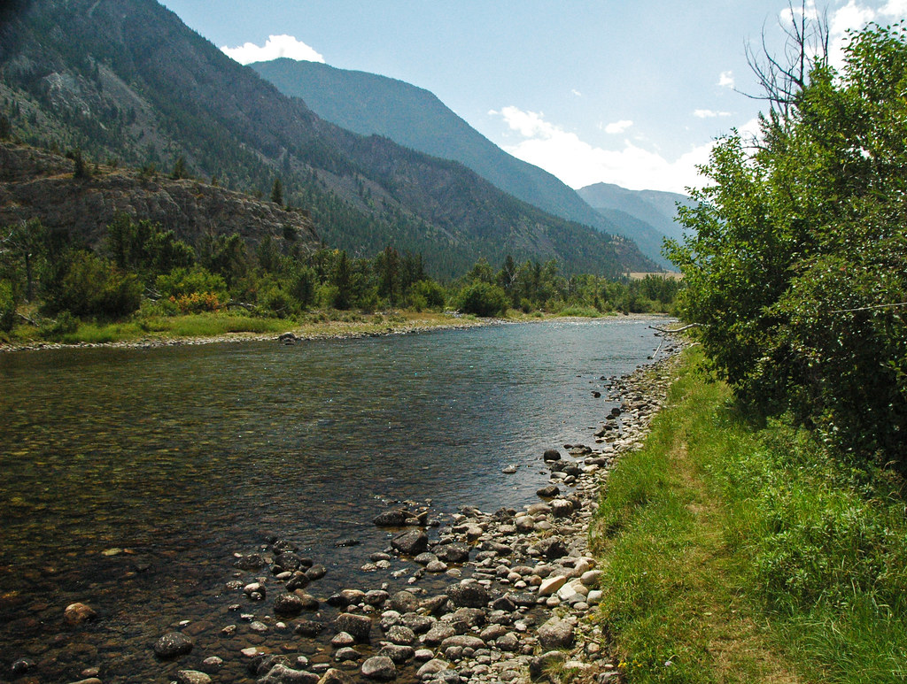
Stillwater River
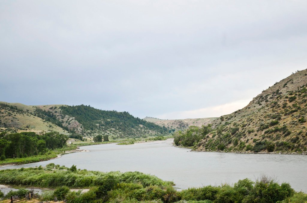
Yellowstone River
Clarks Fork Yellowstone River
Lake Elmo
Rock Creek
Bighorn River
Cooney Reservoir
Explore Montana waters
Top paddling waters
Popular Cities
Loading popular cities...
Explore near Musselshell River
Access points
- Asparagus Point
- Harlowton
- Musselshell River 024 Bridge
- Musselshell River 012 Bridge
- Musselshell River 025 Bridge
- Musselshell River 001 Bridge
- Musselshell River 019 Bridge
- Musselshell River 023 Bridge
- Musselshell River Bridge
- Musselshell River 017 Bridge
- Musselshell River Bridge
- Musselshell River 009 Bridge
- All 60 spots
Nearby waters
More in Montana

Smarter Paddling Starts in the App.
Paddleways gives you everything you need to plan smarter, paddle better, and own every trip from first launch to takeout.