Stillwater River
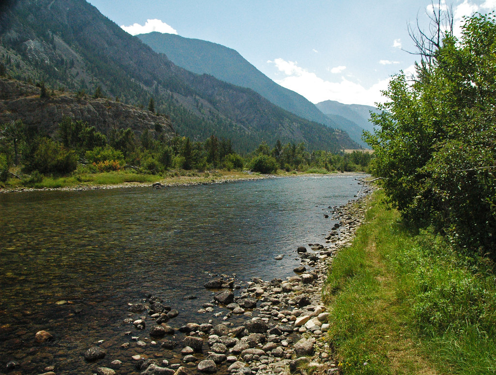
Stillwater River
- Boat Ramps
- 9
- Access Points
- 19
- Campsites
- 14
The Stillwater River is a scenic and adventurous waterway in south-central Montana. Originating high in the Beartooth Mountains, it flows northeastward for approximately 70 miles before joining the Yellowstone River near Columbus. The West Fork Stillwater River is its primary tributary, merging near the town of Nye. The river offers diverse paddling opportunities across several distinct sections.
The upper reaches near Woodbine Campground feature challenging Class IV-V whitewater suitable only for expert kayakers. As it descends, the river mellows into more moderate Class II-III rapids through scenic canyons and forests. The lower sections provide enjoyable Class I-II floating for a wider range of skill levels. Paddling difficulty ranges from beginner-friendly floats to expert-level technical rapids. The most popular sections for rafting and kayaking are found between Nye and Columbus, with the stretch from Whitebird to Fireman's Point offering an exciting Class III run.
Spring runoff typically peaks in late May to early June, providing the highest water levels. Summer flows gradually decrease, with late July through September offering pleasant conditions for floating and fishing. Fall colors enhance the scenery in October, though water levels may be low.
The river corridor supports diverse wildlife, including deer, elk, black bears, and a variety of bird species. Cottonwood trees line the banks in many areas, while ponderosa pines dominate higher elevations.
Key access points include Woodbine Campground, Buffalo Jump Fishing Access, Moraine Fishing Access, Cliff Swallow Fishing Access, and Whitebird Fishing Access. The towns of Absarokee and Columbus serve as the primary gateways to the river.
The Stillwater River played a role in the region's mining history, with platinum and palladium still extracted nearby. Today, it's valued for its recreational opportunities and as a vital water source for local communities and agriculture.
Safety considerations include swift currents, cold water, and remote sections with limited access. Proper equipment and self-rescue skills are essential. Multi-day trips are possible, particularly on the lower river, allowing for a more immersive wilderness experience.
Water access, boat ramps & amenities
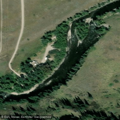
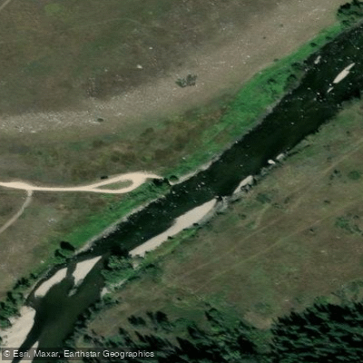
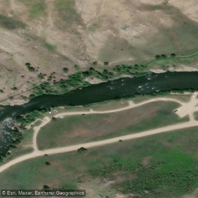
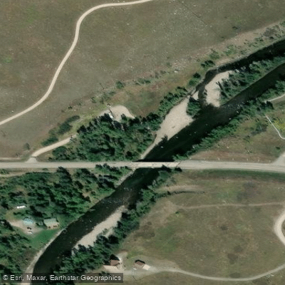
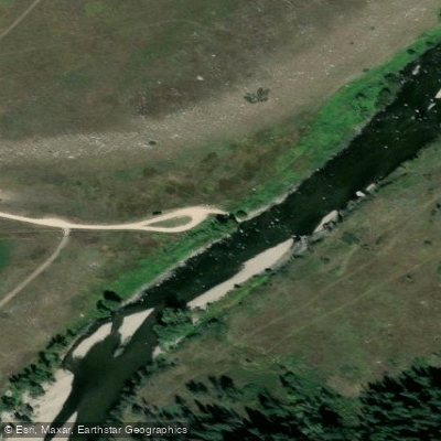
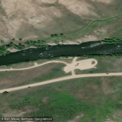
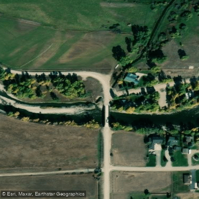
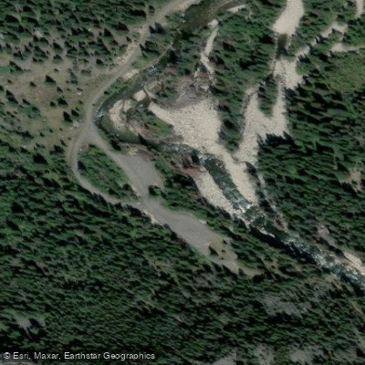
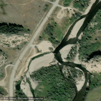
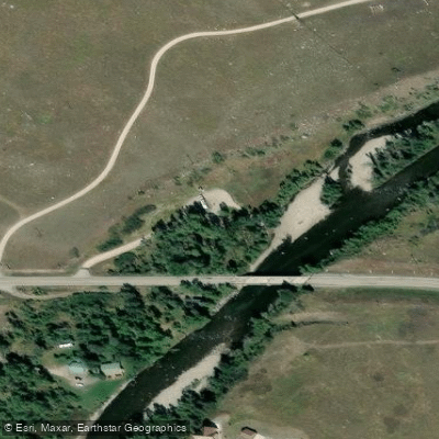
Learn how to get on Stillwater River. Uncover great paddling access points, boat ramps, and all the facilities you need for an unforgettable day on the water. Some locations shown may border or include private property. Always check property boundaries and applicable regulations before visiting. PaddleWays's Public & Private Land layer can help you plan your access with confidence.
Paddle smarter with real-time insights
Whether you're en route and conditions shift or you're looking for the best spot based on current flows, we enable you to make informed decisions on the fly.








Find Places to Paddle

Over 400,000 Places to Paddle
Every user gets free access to launch points, boat ramps, and public property parcels.


Water and weather conditions (10 day forecast)
See the best times to paddle Stillwater River and check the forecast before you go.
Stillwater River near Absarokee MT
Paddling near Stillwater River
Soda Butte Creek
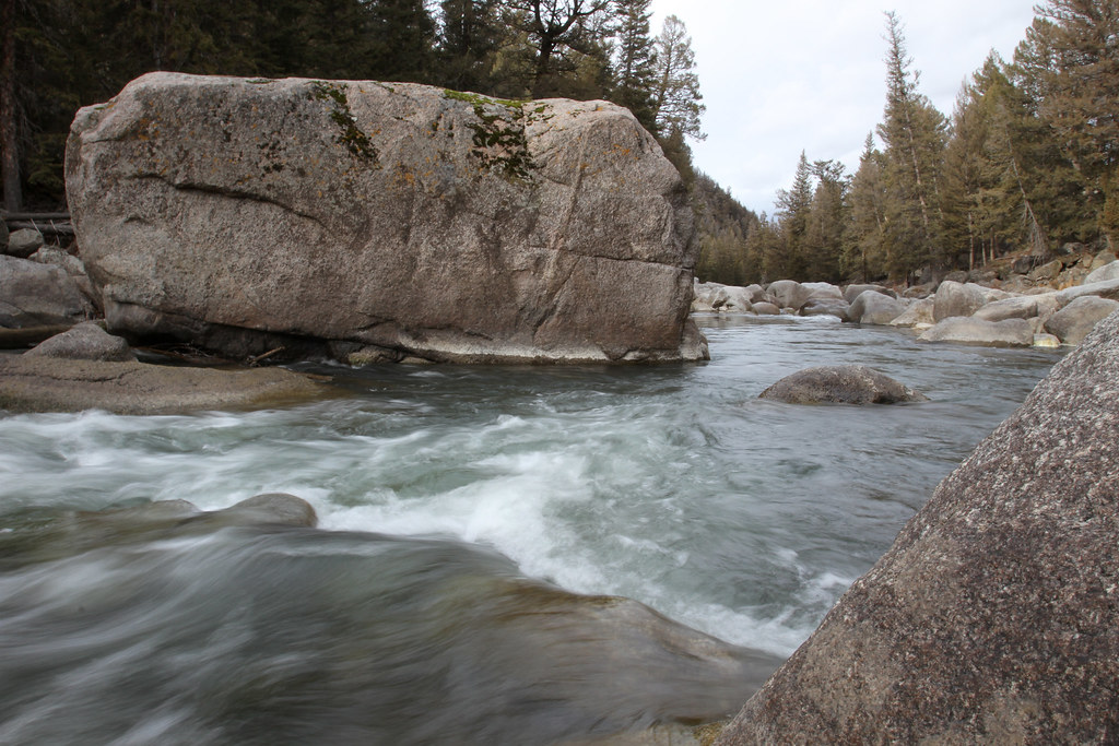
Lamar River
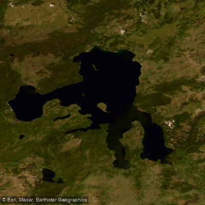
Yellowstone Lake

Boulder River
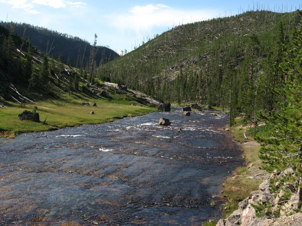
Gibbon River
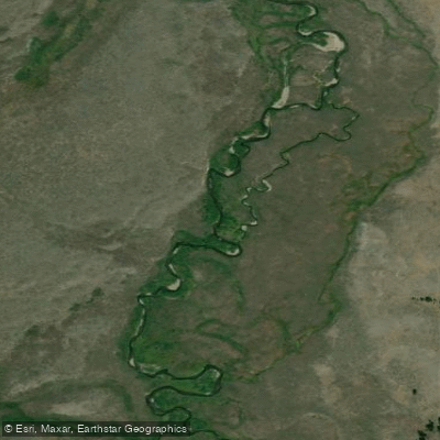
Gardner River
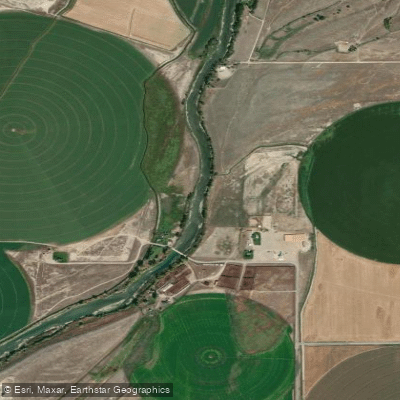
Clarks Fork Yellowstone River
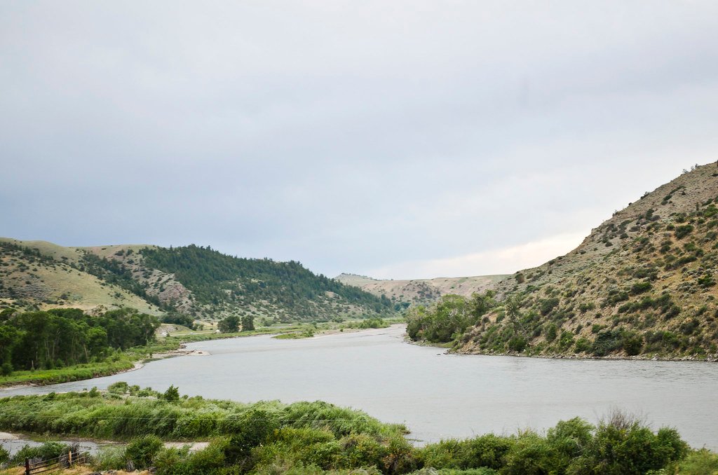
Yellowstone River
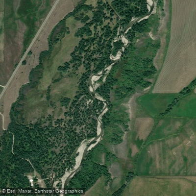
Rock Creek
Explore Montana waters
Top paddling waters
Popular Cities
Loading popular cities...
Explore near Stillwater River
Access points
Nearby waters
More in Montana

Smarter Paddling Starts in the App.
Paddleways gives you everything you need to plan smarter, paddle better, and own every trip from first launch to takeout.