South Fork Flathead River
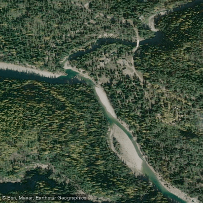
South Fork Flathead River
- Boat Ramps
- 0
- Access Points
- 4
- Campsites
- 16
The South Fork Flathead River originates deep in Montana's Bob Marshall Wilderness, flowing north for approximately 60 miles before being impounded by Hungry Horse Dam and Reservoir. This pristine river system drains a remote watershed within the Rocky Mountains before joining the main stem of the Flathead River. The upper reaches offer a true wilderness experience, requiring either backpacking or horseback access.
The river's initial 60-mile stretch through the Bob Marshall Wilderness provides multi-day trip options for skilled paddlers, featuring Class III-IV whitewater. A highlight is the challenging 4-mile long wilderness gorge with Class IV-V rapids. Below the wilderness section, the Cedar Flats to Meadow Creek Gorge offers 20.5 miles of demanding Class IV-V whitewater. This section is more accessible via the West Side Road but still requires advanced skills to navigate the technical rapids and boulder gardens.
After exiting Hungry Horse Reservoir, the final 5-mile lower section flows from the dam to the confluence with the main Flathead. This Class II-III stretch features standing waves and rocky shoals, suitable for intermediate paddlers.
The South Fork's paddling season typically runs from mid-June through late August, with optimal flows in early summer. Anglers prize the river for its native westslope cutthroat trout and bull trout populations. Wildlife sightings may include elk, moose, and grizzly bears.
Key access points include the remote Bob Marshall Wilderness trailheads, Cedar Flats Access Site, and Hungry Horse Dam. The nearest towns are Hungry Horse and Columbia Falls.
As a federally designated Wild and Scenic River, the South Fork has strict regulations to preserve its pristine character. Group sizes are limited to 10 people in the wilderness section, and motorized boats are prohibited. Paddlers must be self-sufficient and prepared for a true backcountry experience in the upper reaches.
The South Fork Flathead offers a range of paddling experiences, from multi-day wilderness expeditions to more accessible day trips below the dam. Its remote nature, challenging whitewater, and unspoiled ecosystem make it one of Montana's premier paddling destinations for those seeking adventure in a pristine mountain environment.
Water access, boat ramps & amenities
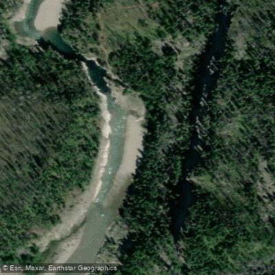
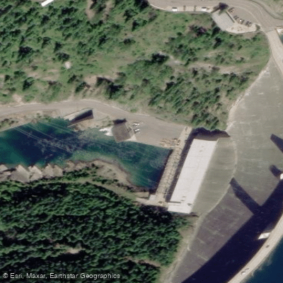
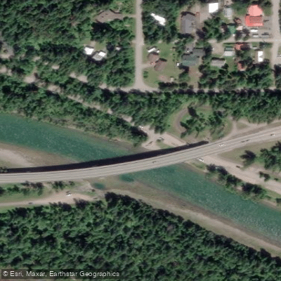
Learn how to get on South Fork Flathead River. Uncover great paddling access points, boat ramps, and all the facilities you need for an unforgettable day on the water. Some locations shown may border or include private property. Always check property boundaries and applicable regulations before visiting. PaddleWays's Public & Private Land layer can help you plan your access with confidence.
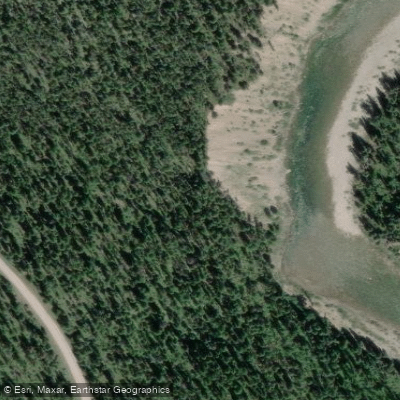
Paddle smarter with real-time insights
Whether you're en route and conditions shift or you're looking for the best spot based on current flows, we enable you to make informed decisions on the fly.








Find Places to Paddle

Over 400,000 Places to Paddle
Every user gets free access to launch points, boat ramps, and public property parcels.


Water and weather conditions (10 day forecast)
See the best times to paddle South Fork Flathead River and check the forecast before you go.
S F Flathead R ab Twin C nr Hungry Horse MT
All Flow Stations
Paddling near South Fork Flathead River
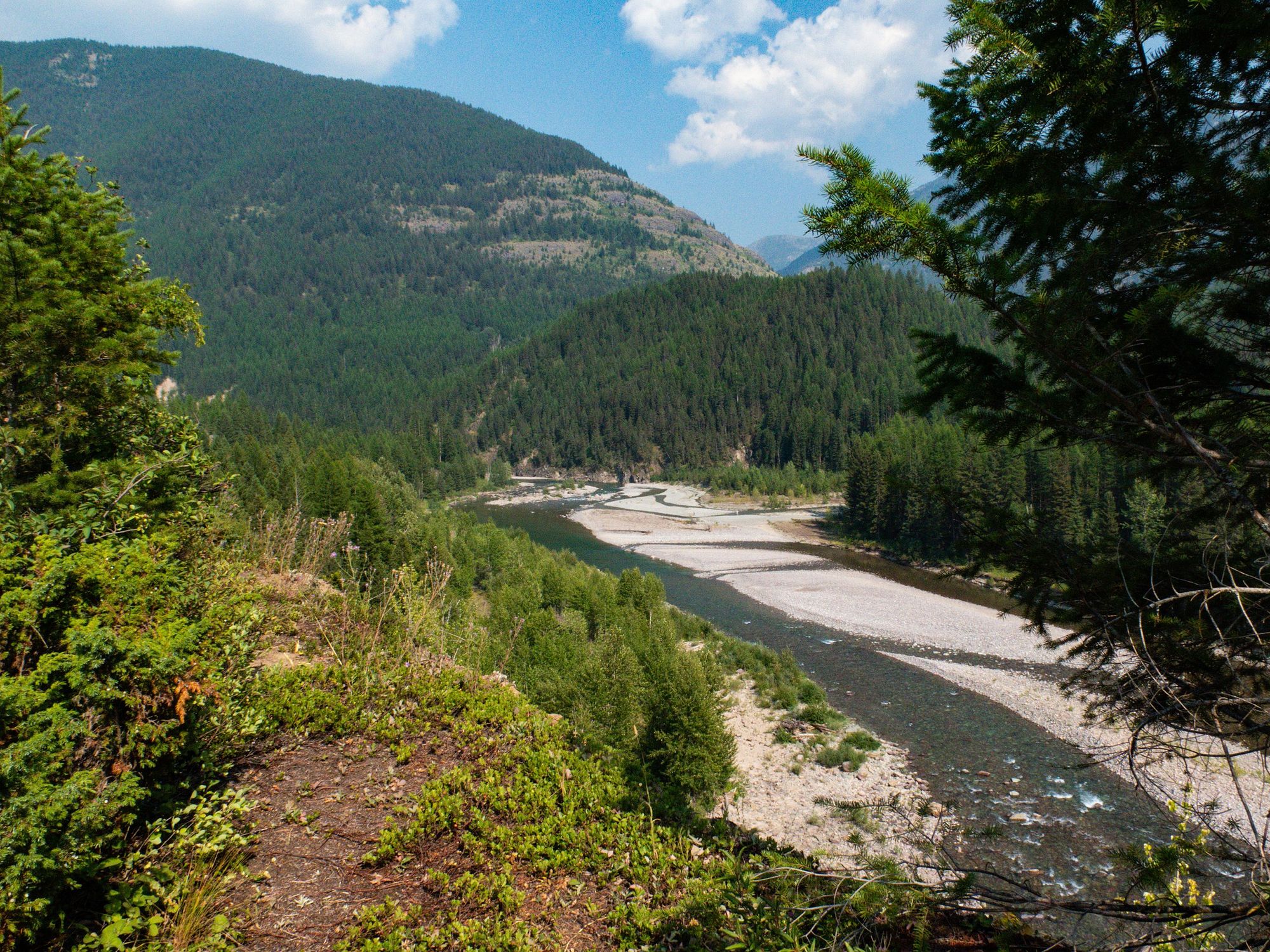
Middle Fork Flathead River
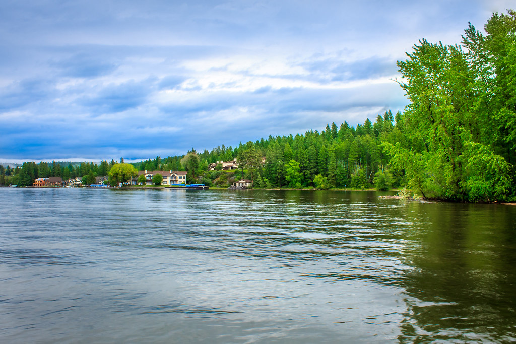
Flathead Lake
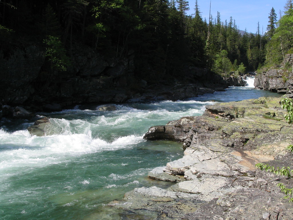
McDonald Creek
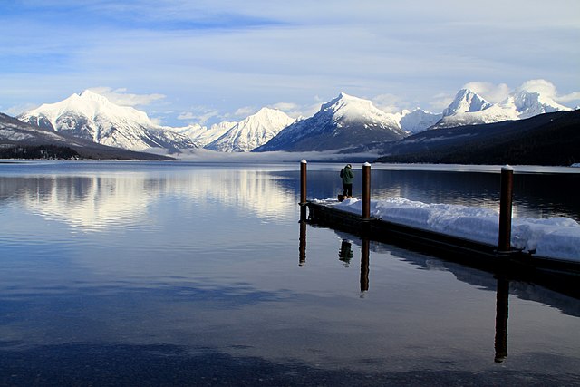
Lake McDonald
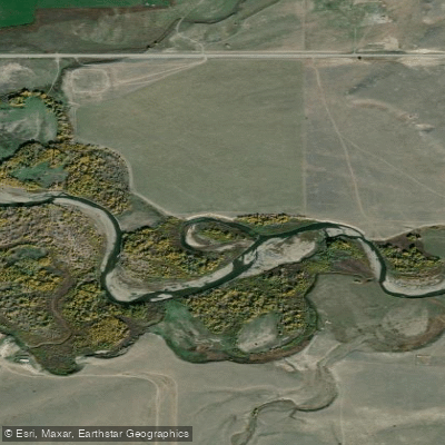
Two Medicine River
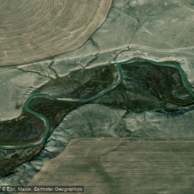
Cut Bank Creek
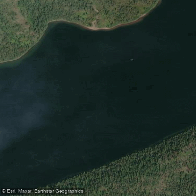
Two Medicine Creek
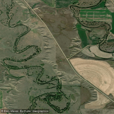
Milk River
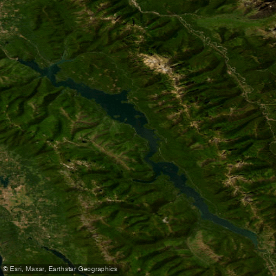
Hungry Horse Reservoir
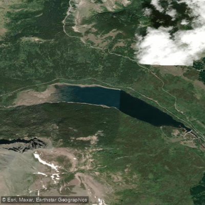
Lower Two Medicine Lake
Explore Montana waters
Top paddling waters
Popular Cities
Loading popular cities...
Explore near South Fork Flathead River
Access points
Nearby waters
More in Montana

Smarter Paddling Starts in the App.
Paddleways gives you everything you need to plan smarter, paddle better, and own every trip from first launch to takeout.