Curated by PaddleWays
RouteClass II–III
- Distance
- 5.3 mi
- Paddle time
- Multi-day
- Best for
- Packraft
- Put-in → take-out
- Straight Creek Access → South Fork Sun River Low Water Trail Access
Potential crux rapid 1.5 miles above confluence
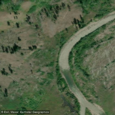
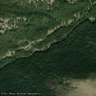
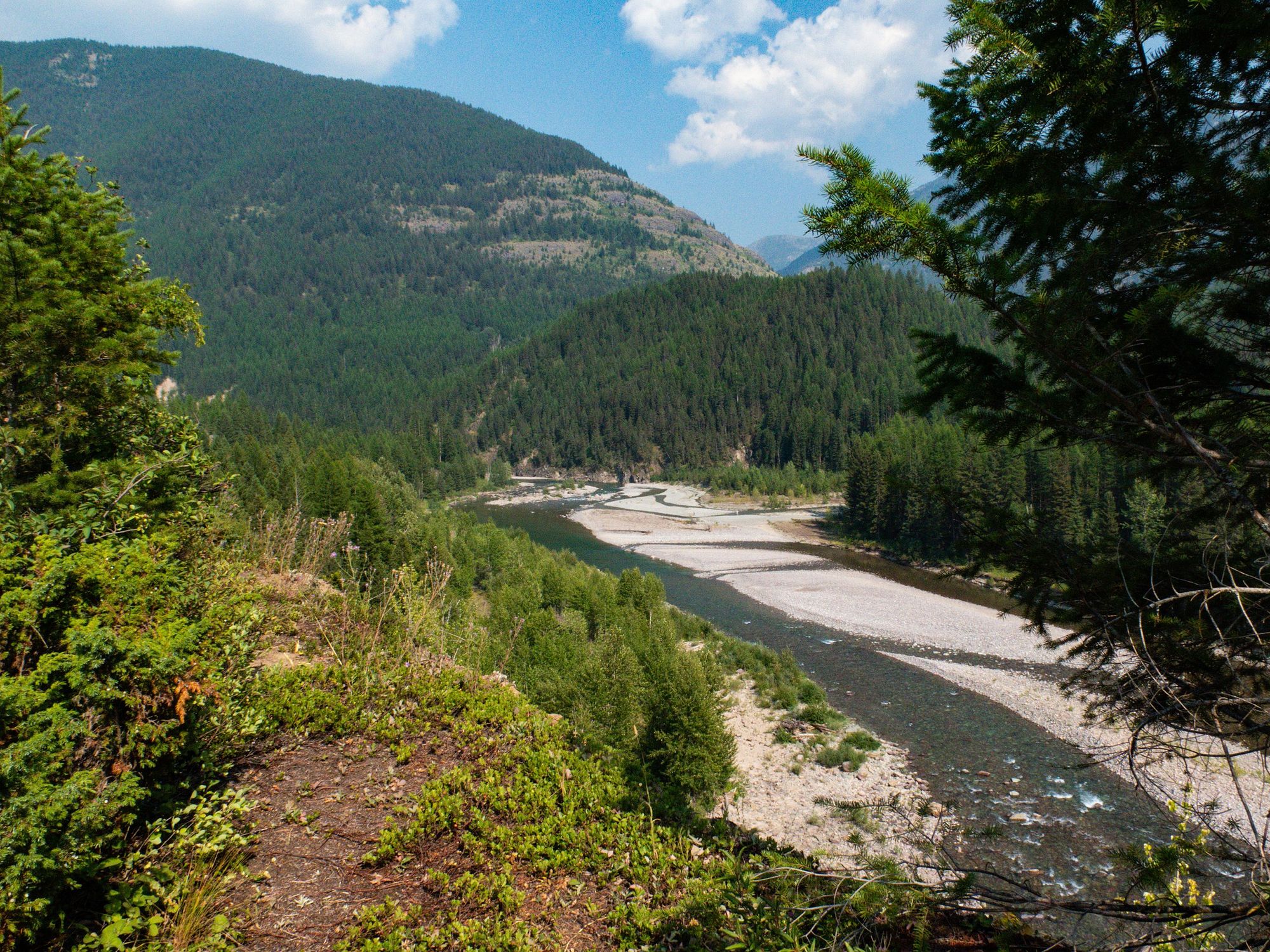
The South Fork Sun River originates high in Montana's Bob Marshall Wilderness, flowing northward through rugged mountain terrain before joining the main Sun River. This pristine waterway carves its way through the heart of The Bob, offering paddlers a remote wilderness experience amidst stunning Rocky Mountain scenery. From its headwaters, the South Fork meanders approximately 30 miles through dense forests and open meadows before meeting the West Fork Sun River. The combined flow then continues as the South Fork for another 15 miles to Gibson Reservoir. Along its course, the river is fed by numerous small creeks and springs.
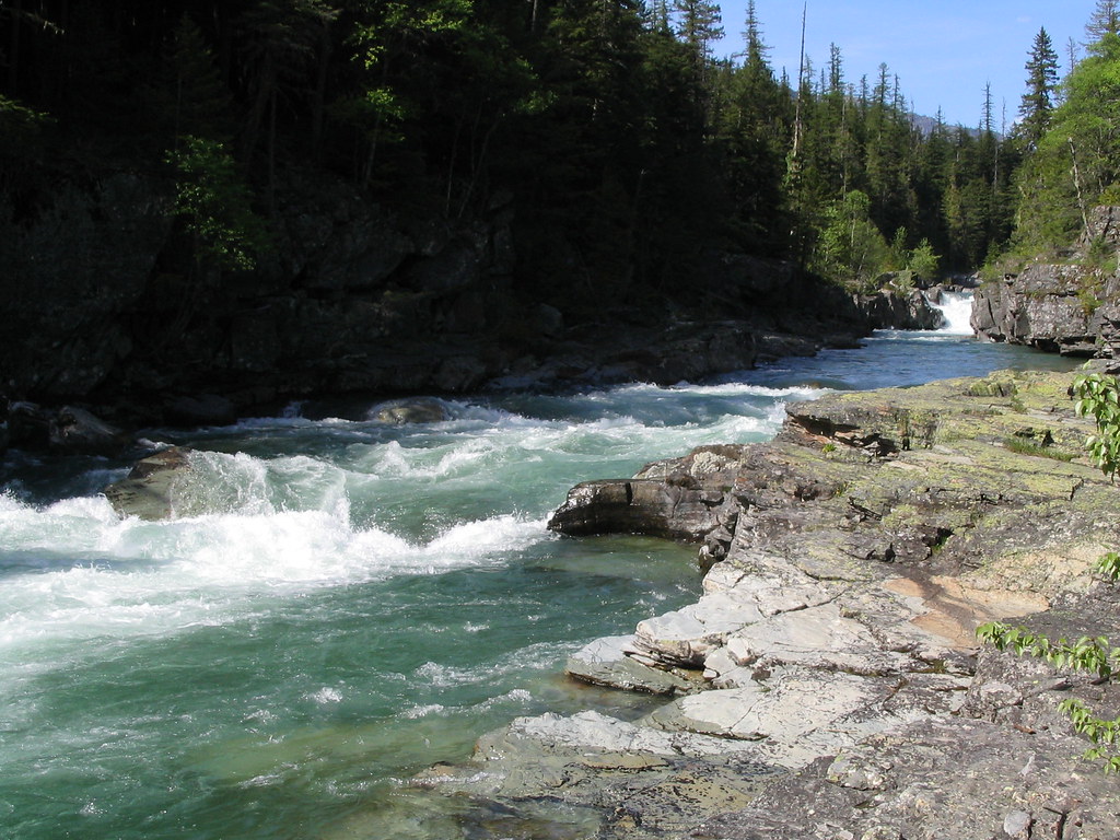
Paddling opportunities range from calm flatwater sections to challenging whitewater, with the most popular run being the 15-mile stretch from Benchmark Trailhead to the West Fork confluence. This section features mostly Class II-III rapids with one potential Class IV crux about 1.5 miles above the confluence. Below the West Fork, the river increases in difficulty to Class III-IV as it enters Sun River Canyon.
The South Fork is typically run in late spring to early summer when snowmelt provides optimal flows. By late summer, lower water levels can make some sections too bony for enjoyable paddling.
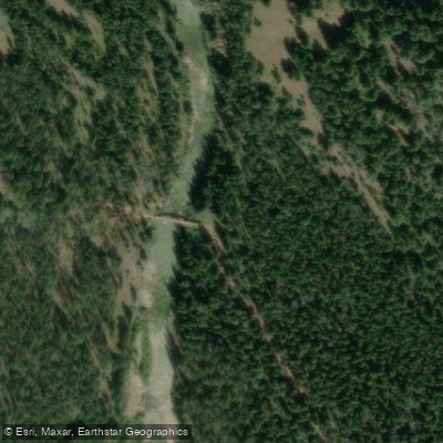
The river corridor hosts a diverse ecosystem, with opportunities to spot elk, moose, black bears, and a variety of bird species. Key landmarks include the iconic Bob Marshall Wilderness Bridge, expansive wildflower meadows, and towering limestone cliffs in the lower canyon.
The primary access point is Benchmark Trailhead near Augusta, Montana. Additional wilderness access is possible via pack trails.
This river holds cultural significance for Native American tribes who have utilized the area for centuries. More recently, it has become revered by wilderness enthusiasts and conservationists for its pristine nature and critical habitat.
Safety considerations include the river's remote setting, variable weather conditions, and sections of challenging whitewater. Paddlers should be prepared for self-rescue and wilderness camping. Multi-day trips combining hiking and packrafting are popular, allowing explorers to fully immerse themselves in the Bob Marshall Wilderness.
The South Fork Sun River provides a quintessential Montana backcountry paddling experience, rewarding adventurers with solitude, breathtaking scenery, and the opportunity to test their skills in a truly wild setting.
Curated routes
Hand-picked by the PaddleWays team, with put-ins, take-outs, paddle times and the hazards along the way.
RouteClass II–III
Hazards
No hazards are marked on South Fork Sun River yet. That is not the same as none being there: if you find one, report it for the next paddler.
From the community
Nobody has shared a trip on South Fork Sun River yet. Paddle it, then tell the next paddler how it went.
See exactly where the public can get on and off the river. Launch points and boat ramps are paired with PaddleWays' public land data so you know where you can legally land.
Public shoreline
100%of the river's shoreline is public
Flows, weather and a route-by-route verdict, so you know which stretch of the South Fork Sun River is worth paddling today.
Live flows, marked hazards and fresh trip reports from paddlers who were just on the water, all in one place.





Every user gets free access to launch points, boat ramps, and public property parcels.
Loading popular cities...
PaddleWays gives you everything you need to plan smarter, paddle better, and own every trip from first launch to takeout.