South Loup River
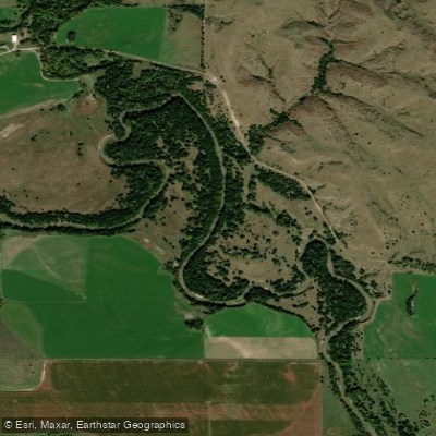
South Loup River
- Boat Ramps
- 1
- Access Points
- 1
- Campsites
- 1
The South Loup River is a significant waterway in central Nebraska, originating from the confluence of its tributaries in the Sandhills region. It flows generally eastward, joining with the Middle Loup River to form the main Loup River, which eventually empties into the Platte River. The South Loup is part of the larger Loup River Basin, which covers nearly one-fifth of Nebraska and contains approximately 1,800 miles of streams.
Paddling opportunities on the South Loup River are primarily focused on flatwater experiences, making it suitable for beginners and families. The most notable section is the Loup River Water Trail, a 16-mile stretch from Monroe to Columbus. This sandy-bottomed river offers a scenic float trip that typically takes 6-8 hours to complete. The put-in is located south of Monroe on 370th Avenue, while the take-out is at Pawnee Park in Columbus. The river's difficulty is generally classified as flatwater, requiring basic paddling skills. However, paddlers should be aware of potential hazards such as submerged logs or debris, especially after high water events.
The best times for paddling the South Loup River are typically late spring through early fall when water levels are most favorable. However, conditions can vary, and it's advisable to check current water levels before planning a trip. Wildlife enthusiasts will appreciate the opportunity to spot various species along the river, including deer and pelicans. The riverbanks are lined with trees, providing habitat for numerous bird species and other riparian wildlife.
Key landmarks along the river include the Diamond Bar Ranch, where a section of the river flows through the property's home meadow, offering a unique paddling experience when water levels permit. Access points are primarily located near small towns, with Monroe and Columbus being the main entry and exit points for the Water Trail section. These communities provide necessary amenities for paddlers planning day trips or longer excursions.
Historically, the Loup River system, including the South Loup, was significant to Native American tribes, particularly the Pawnee, who called it the Plenty Potatoes River due to the abundance of wild edible tubers growing along its banks.
Safety considerations include being prepared for changing weather conditions, wearing life jackets, and being aware of local emergency contacts. The Platte County Sheriff (816-858-2424) and Columbus Community Hospital (402-564-7118) are important numbers to have on hand. While multi-day trips are possible, they require careful planning due to limited established campsites along the river. Most paddlers opt for day trips, particularly the popular Monroe to Columbus section.
Water access, boat ramps & amenities
Learn how to get on South Loup River. Uncover great paddling access points, boat ramps, and all the facilities you need for an unforgettable day on the water. Some locations shown may border or include private property. Always check property boundaries and applicable regulations before visiting. PaddleWays's Public & Private Land layer can help you plan your access with confidence.
Paddle smarter with real-time insights
Whether you're en route and conditions shift or you're looking for the best spot based on current flows, we enable you to make informed decisions on the fly.








Find Places to Paddle

Over 400,000 Places to Paddle
Every user gets free access to launch points, boat ramps, and public property parcels.


Water and weather conditions (10 day forecast)
See the best times to paddle South Loup River and check the forecast before you go.
South Loup River at Arnold, Nebr.
All Flow Stations
Paddling near South Loup River
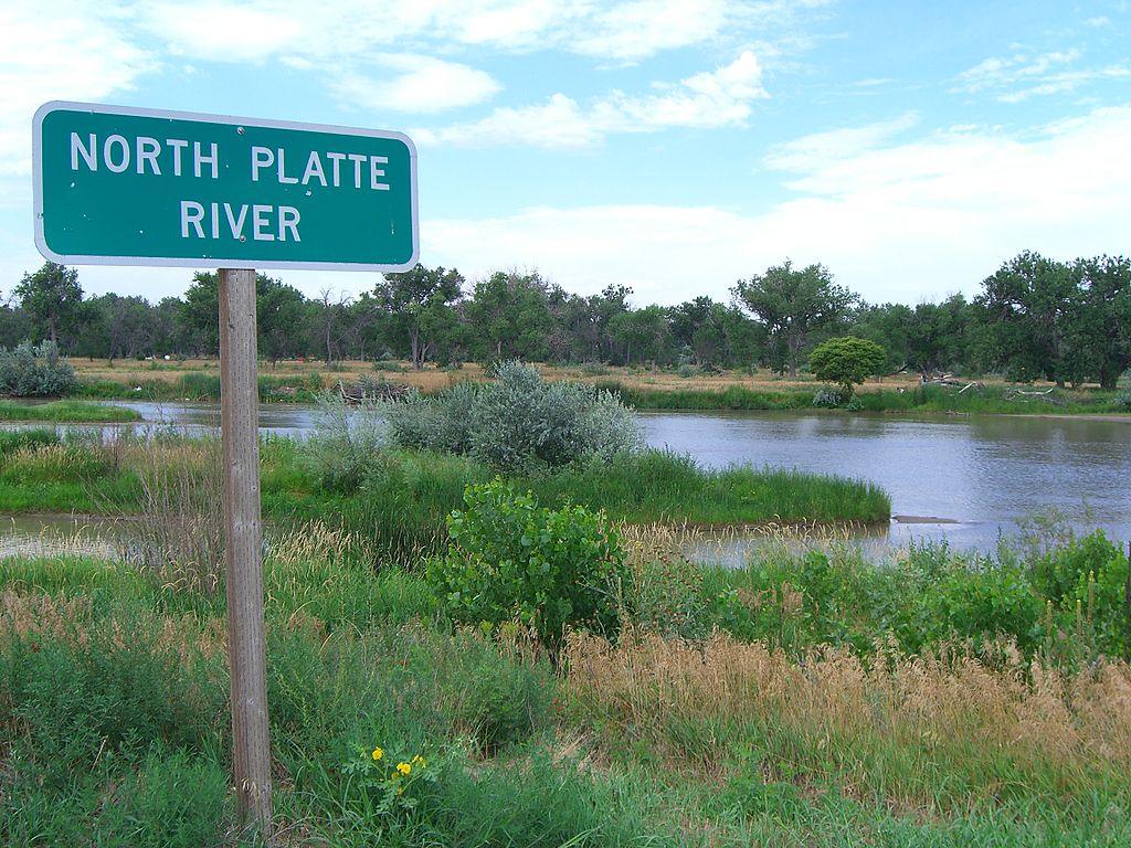
Platte River
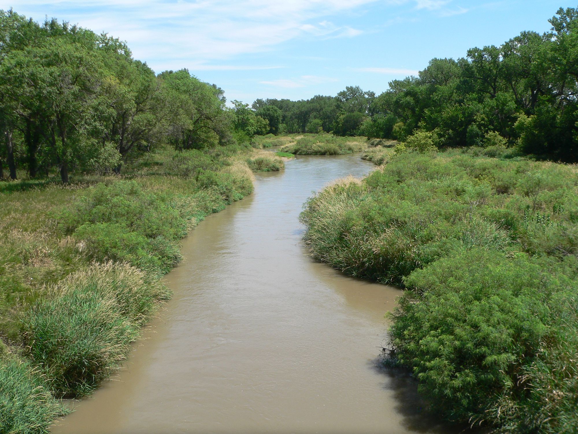
Republican River
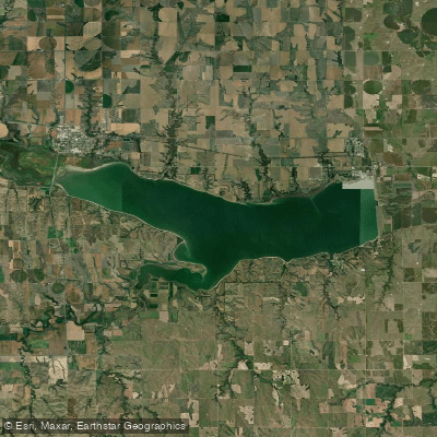
Harlan County Lake
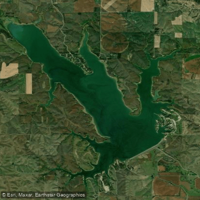
Sherman Reservoir
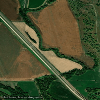
Mud Creek
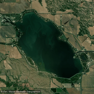
Johnson Lake
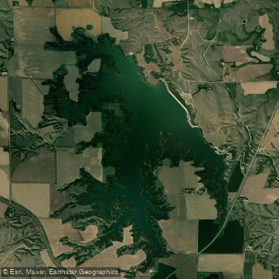
Elwood Reservoir
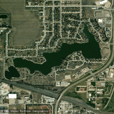
Lake Hastings
North Channel Platte River
Explore Nebraska waters
Top paddling waters
Popular Cities
Loading popular cities...
Explore near South Loup River
Access points
Nearby waters
More in Nebraska

Smarter Paddling Starts in the App.
Paddleways gives you everything you need to plan smarter, paddle better, and own every trip from first launch to takeout.