Platte River
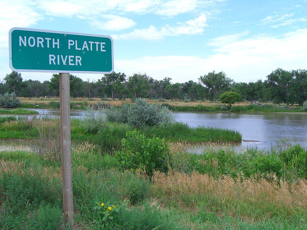
Platte River
- Boat Ramps
- 0
- Access Points
- 0
- Campsites
- 12
The Platte River is a major waterway that flows across Nebraska, offering paddlers a diverse range of flatwater experiences through the heart of the Great Plains. This wide, shallow river is known for its braided channels, sandbars, and gentle current, making it an ideal destination for canoeists and kayakers of various skill levels.
The river provides numerous paddling opportunities, with several popular sections ranging from day trips to multi-day adventures. One of the most accessible stretches runs from North Bend to Fremont, a 15-mile journey that typically takes 3-5 hours to complete. This section offers scenic views and is suitable for beginners, though paddlers should be prepared for changing currents and shifting sandbars.
For those seeking a shorter excursion, the 9-mile stretch from Fremont to Platte River Landing provides a pleasant 2-4 hour paddle. Another popular option is the 7.4-mile float from Platte River Landing to Two Rivers State Recreation Area, which offers a mix of natural beauty and recreational amenities.
The Platte River is primarily a flatwater paddling destination, with difficulty levels ranging from easy to moderate depending on water levels and seasonal conditions. While most sections are suitable for novice paddlers, the river's changing nature requires constant attention and basic river reading skills. Spring and early summer typically offer the best paddling conditions, with higher water levels making navigation easier. Late summer and fall can bring lower water levels, potentially requiring occasional portaging around shallow areas. Winter paddling is possible but should only be attempted by experienced paddlers with proper cold-water gear.
The river corridor is home to a diverse array of wildlife, including numerous bird species such as sandhill cranes, pelicans, and bald eagles. Paddlers may also spot deer, beaver, and various fish species. The surrounding landscape features a mix of cottonwood forests, grasslands, and agricultural areas.
Notable landmarks along the river include the Lied Platte River Bridge, a pedestrian bridge near Schramm Park that offers stunning views of the river valley. Several state recreation areas, such as Two Rivers and Louisville, provide excellent access points and camping facilities for multi-day trips.
Towns like North Bend, Fremont, and Louisville serve as convenient put-in and take-out locations, offering amenities for paddlers. The river's proximity to Omaha makes it easily accessible for day trips from the city.
Historically, the Platte River played a crucial role in westward expansion, serving as a major route for pioneers along the Oregon Trail. Today, it remains an important ecological and recreational resource for Nebraska.
Safety considerations include wearing a personal flotation device at all times, being prepared for sudden weather changes, and staying alert for submerged obstacles or strainers. Paddlers should also be aware of private property along the banks and respect landowners' rights.
For those interested in longer adventures, a multi-day trip from North Bend to Louisville (approximately 60 river miles) offers an immersive experience of the Platte River's changing character. This journey typically takes 3-4 days, with numerous camping options along the way.
The Platte River Water Trail, developed as part of Nebraska's Venture Parks initiative, has enhanced access and amenities along a 6-mile stretch between Schramm Park and Louisville State Recreation Areas. This development has made the river more accessible to a wider range of paddlers and outdoor enthusiasts.
Whether you're seeking a quick afternoon float or a multi-day river expedition, the Platte River offers a quintessential Nebraska paddling experience, combining natural beauty, wildlife viewing, and a rich historical backdrop.
Water access, boat ramps & amenities
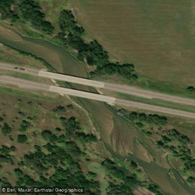
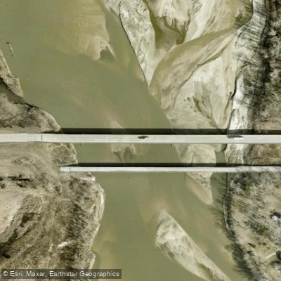
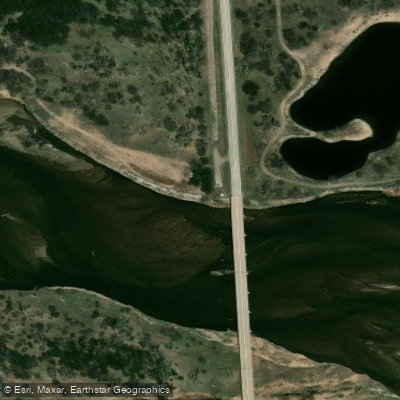
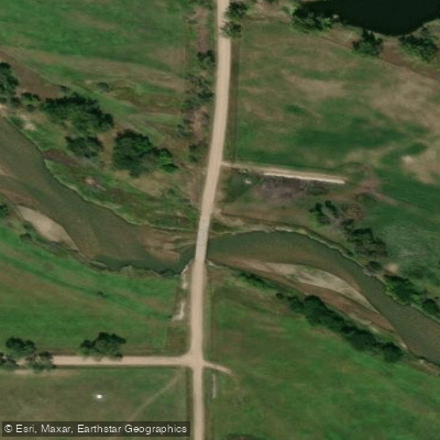
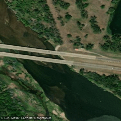
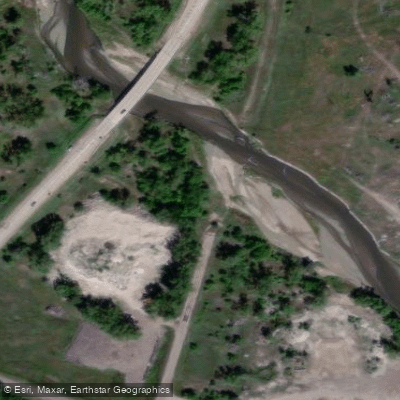
Learn how to get on Platte River. Uncover great paddling access points, boat ramps, and all the facilities you need for an unforgettable day on the water. Some locations shown may border or include private property. Always check property boundaries and applicable regulations before visiting. PaddleWays's Public & Private Land layer can help you plan your access with confidence.
Paddle smarter with real-time insights
Whether you're en route and conditions shift or you're looking for the best spot based on current flows, we enable you to make informed decisions on the fly.








Find Places to Paddle

Over 400,000 Places to Paddle
Every user gets free access to launch points, boat ramps, and public property parcels.


Water and weather conditions (10 day forecast)
See the best times to paddle Platte River and check the forecast before you go.
Platte River near Overton, Nebr.
All Flow Stations
Paddling near Platte River
Big Blue River
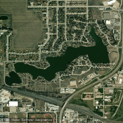
Lake Hastings
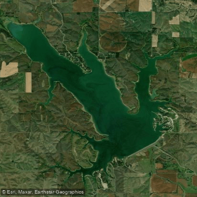
Sherman Reservoir
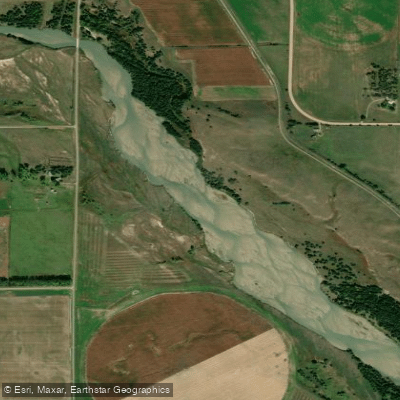
Middle Loup River
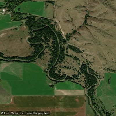
South Loup River
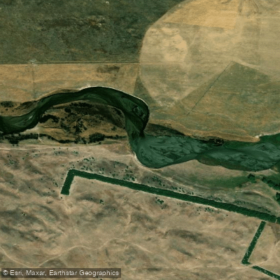
North Loup River
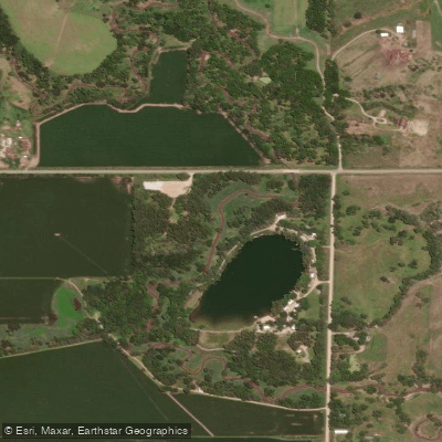
West Fork Big Blue River
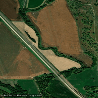
Mud Creek
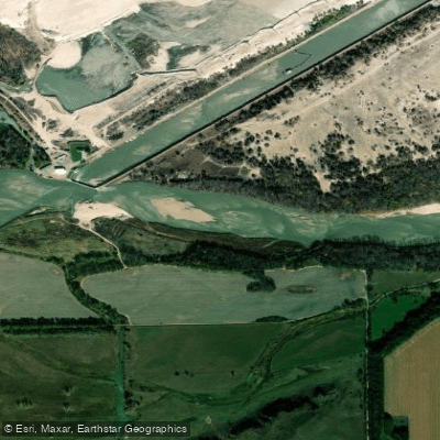
Loup River
Explore Nebraska waters
Top paddling waters
Popular Cities
Loading popular cities...
Explore near Platte River
Access points
Nearby waters
More in Nebraska

Smarter Paddling Starts in the App.
Paddleways gives you everything you need to plan smarter, paddle better, and own every trip from first launch to takeout.