Stagecoach Lake
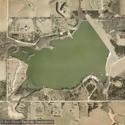
Stagecoach Lake
- Boat Ramps
- 2
- Access Points
- 2
- Campsites
- 0
Stagecoach Lake is a 195-acre reservoir located 1 mile south of Hickman, Nebraska, surrounded by 607 acres of public land. The lake features one boat ramp on the southeast portion with access from Panama Road, and one dock. A 5-mph speed limit is strictly enforced for all watercraft, creating calm conditions suitable for paddling.
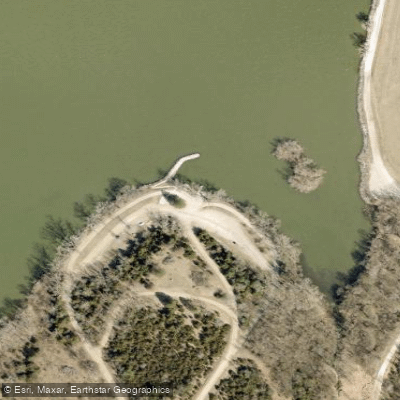
The lake's infrastructure includes lakeside parking and a wheelchair-accessible fishing pier on the north side accessible from 54th Street. The boat ramp area provides convenient access for launching kayaks and canoes. Basic amenities include vault toilets and drinking water.
The shoreline offers varied perspectives of the surrounding Nebraska countryside, as Stagecoach is one of twenty Salt Valley lakes within the Lincoln metropolitan area. The lake is relatively open with limited tree cover, typical of prairie reservoirs in the region.
A state park permit is required for entry. While all types of boats are permitted, the no-wake restriction maintains a peaceful atmosphere for paddlers sharing the water with anglers. The lake tends to see moderate use from fishermen targeting species like walleye, bluegill, and largemouth bass.
The lake's modest size makes it suitable for half-day paddles, with approximately 4 miles of shoreline to explore. During hunting seasons (primarily fall), be aware that a 412-acre portion of the surrounding land is open to hunting, particularly for pheasant, quail and dove.
For overnight trips, the recreation area offers 22 camping pads with electrical hookups and 50 primitive sites. The campground provides water and vault toilets, operating on a first-come, first-served basis.
Water access, boat ramps & amenities
Learn how to get on Stagecoach Lake. Uncover great paddling access points, boat ramps, and all the facilities you need for an unforgettable day on the water. Some locations shown may border or include private property. Always check property boundaries and applicable regulations before visiting. PaddleWays's Public & Private Land layer can help you plan your access with confidence.
Paddle smarter with real-time insights
Whether you're en route and conditions shift or you're looking for the best spot based on current flows, we enable you to make informed decisions on the fly.








Find Places to Paddle

Over 400,000 Places to Paddle
Every user gets free access to launch points, boat ramps, and public property parcels.


Water and weather conditions (10 day forecast)
See the best times to paddle Stagecoach Lake and check the forecast before you go.
No forecast data available.
Paddling near Stagecoach Lake
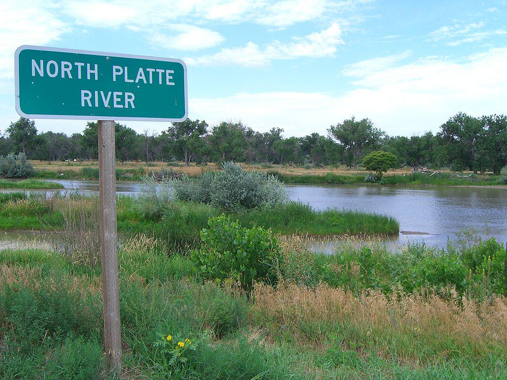
Platte River

Missouri River
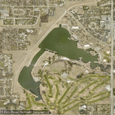
Holmes Lake
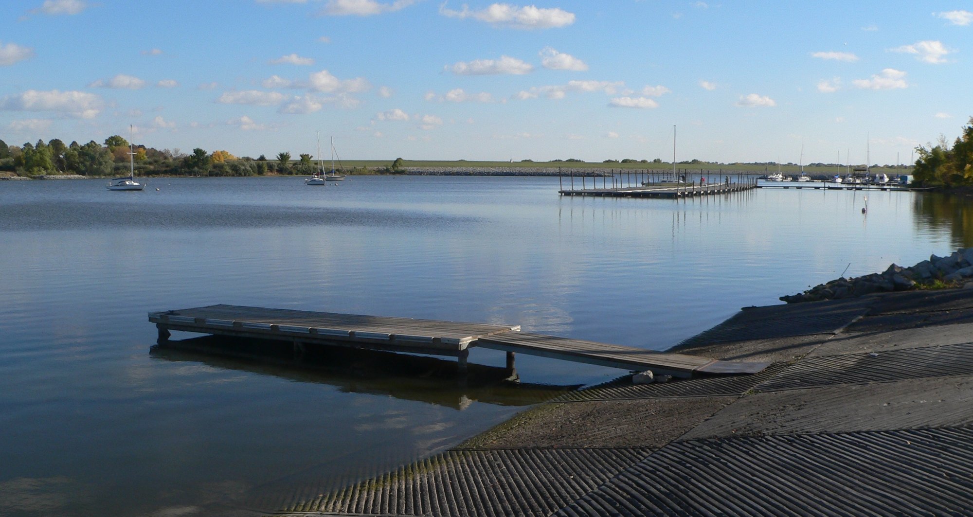
Branched Oak Lake
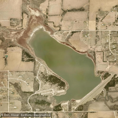
Bluestem Lake
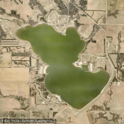
Pawnee Lake
Big Blue River
Yankee Hill Lake
Twin Lakes
Explore Nebraska waters
Top paddling waters
Popular Cities
Loading popular cities...
Explore near Stagecoach Lake
Access points
- Stagecoach Lake Boat Ramp
- Stagecoach Boat Ramp
- Hickman Br/bnsf Rr(s-26) Bridge
- Stream (x 83) Bridge
- Hickman Br Salt Creek Bridge
- Hickman Branch (x 84) Bridge
- M Br Big Nemaha Ri(x 30) Bridge
- M Br Big Nemaha Ri (x 9) Bridge
- Stream (r 121) Bridge
- Stream (s 65) Bridge
- Salt Creek (s 47) Bridge
- M Br Big Nemaha Ri(x 41) Bridge
- All 18 spots
Nearby waters
More in Nebraska

Smarter Paddling Starts in the App.
Paddleways gives you everything you need to plan smarter, paddle better, and own every trip from first launch to takeout.