Curated by PaddleWays

Johns River, up from CT river confluence

2.9 mi flatwater route on the Johns River in New Hampshire

  • Flatwater

Map of the Johns River, up from CT river confluence route, from Dalton Boat Ramp
  • Route
  • Put-in & take-out

Level right now

How Johns River, up from CT river confluence is running today

Route facts

Johns River, up from CT river confluence at a glance

Distance
2.9 mi
Paddle time
~1 hr
Type
Flatwater

About this route

Paddling this route

This 2.9-mile flatwater route on the Johns River begins and ends at the Dalton Boat Ramp, making it an out-and-back paddle up from the river's confluence with the Connecticut River. The boat ramp provides access to both the Connecticut and Johns Rivers.

Put-in & take-out

Hazards

Hazards on this route

No hazards are marked on this route yet. That is not the same as none being there: if you find one, report it for the next paddler.

From the community

Trip reports on this route

Real trips from PaddleWays paddlers who ran this route: how the flows were, and what to watch for.

Loading trip reports

  • Kevin P.

    Canoe •

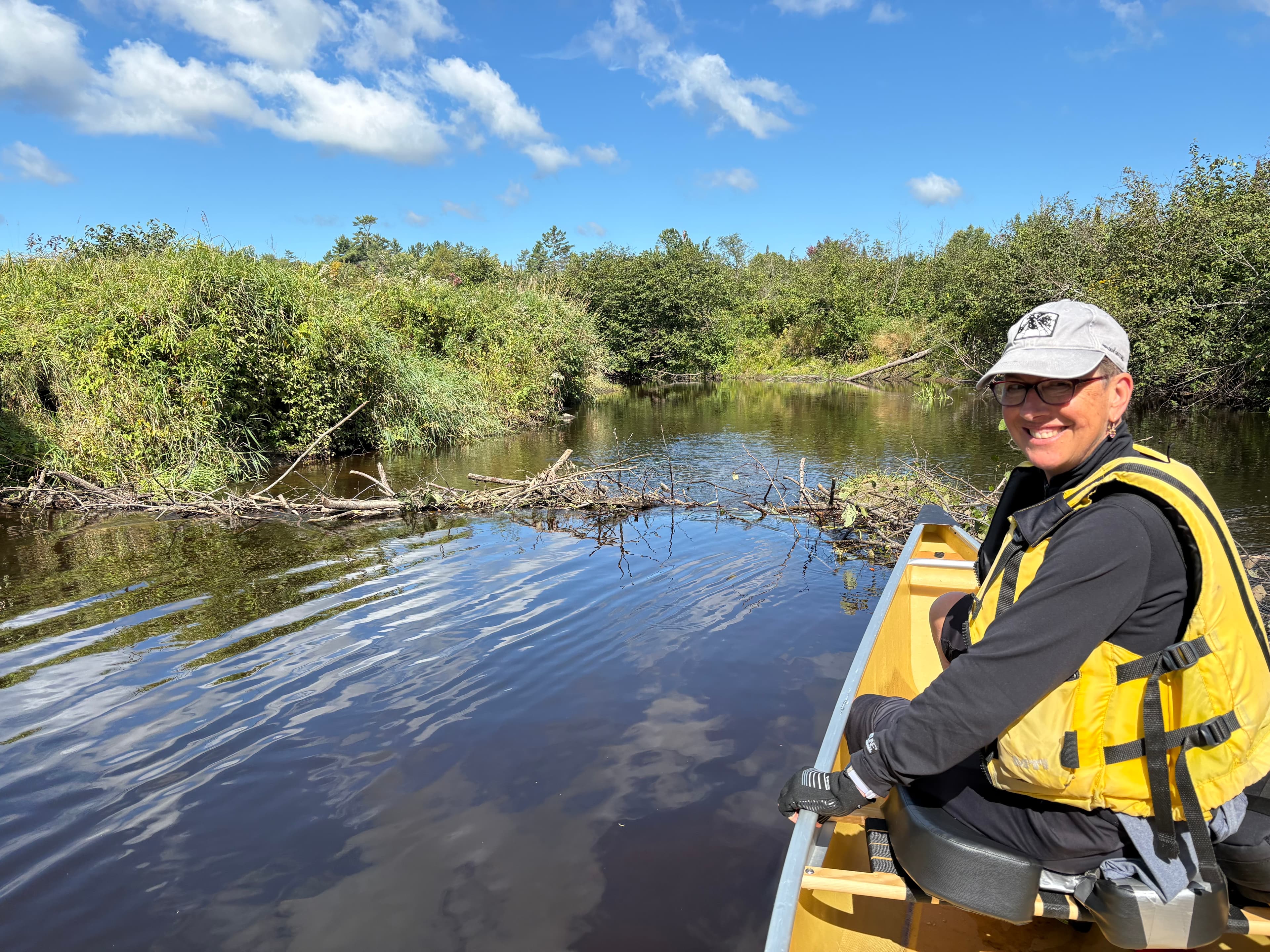
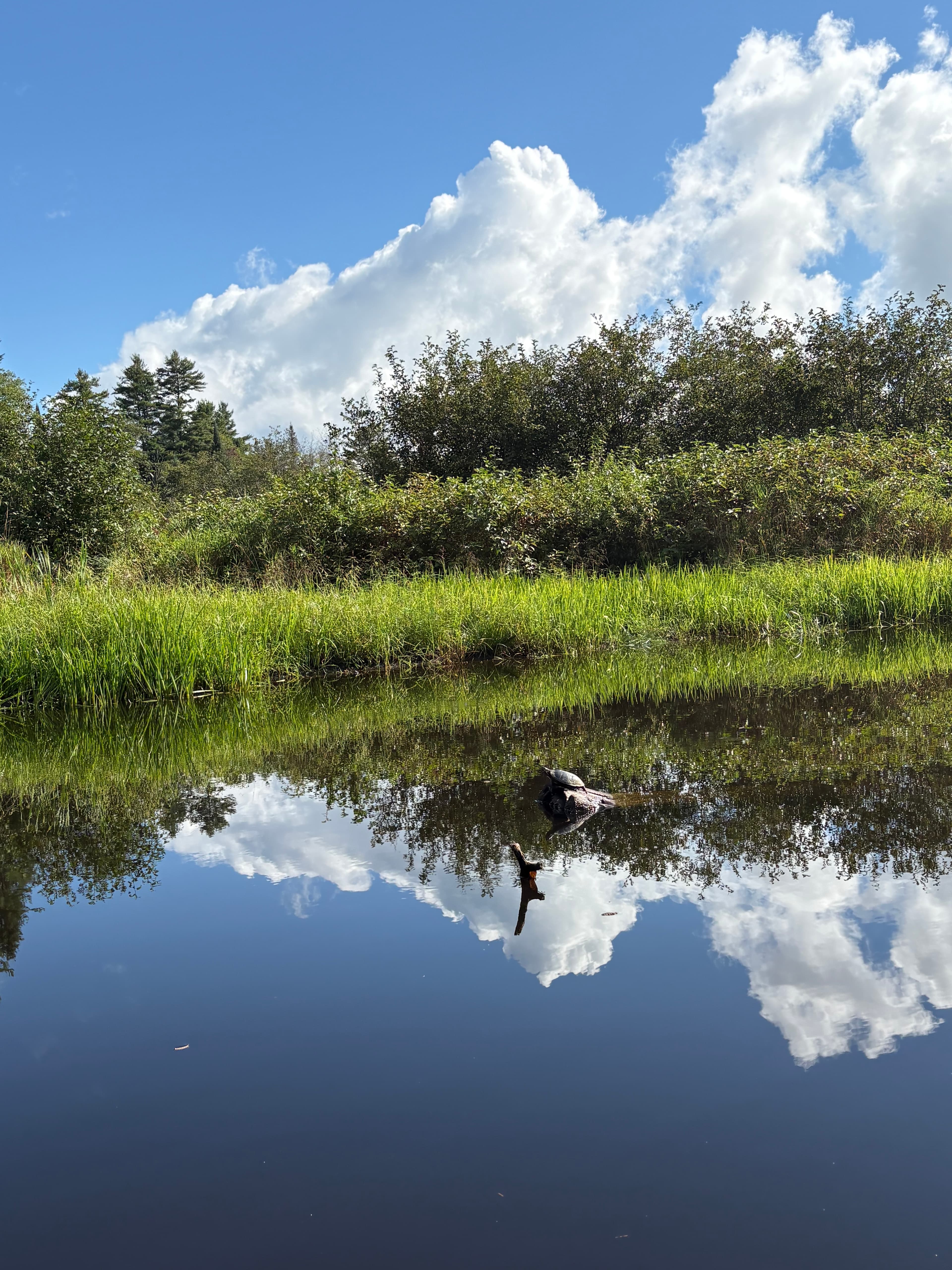
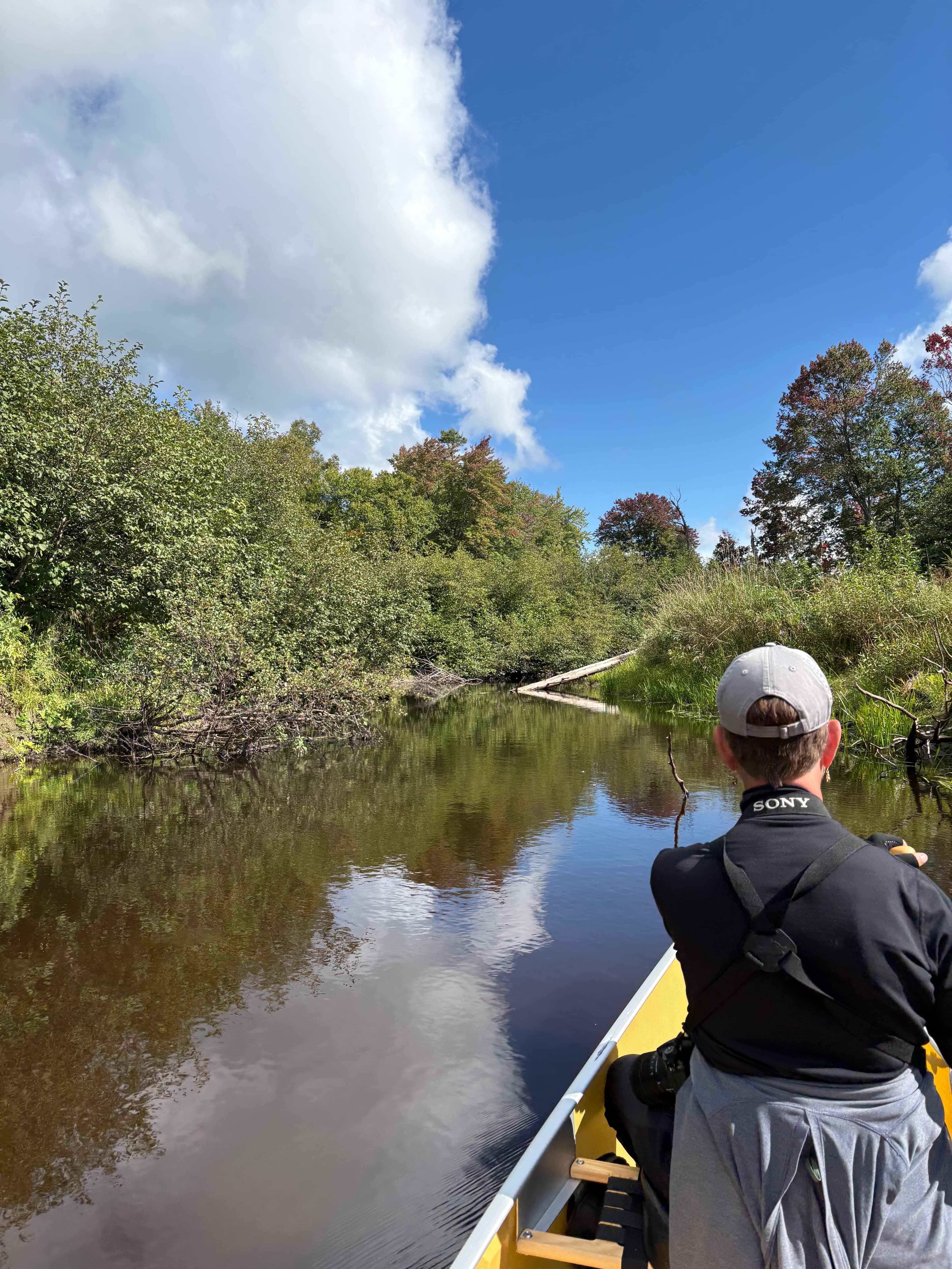
    Put in at the public boat launch on the Connecticut river upstream of Gilman Dam, near the intersection of NH 135 and NH 142. Followed the meandering path of the river on through lazy waters, across seven small Beaver dams, until we reached a large beaver dam that we decided not to haul across. Beautiful, quiet, interesting route meandering through the Johns River flood plane. Many migrating, bird species, as well.
    • Photo 1 from Kevin P.'s trip
    • Photo 2 from Kevin P.'s trip
    • Photo 3 from Kevin P.'s trip+7
    Mentions: strainer, dam

Flows & weather (10 day forecast)

The gauges near this route and the forecast where it starts, so you can pick your day.

No forecast data available.

Close by

Routes near this one

Curated routes on other waters within an hour or so, nearest first.

Curated by PaddleWays

RouteFlatwater

Distance
9.1 mi
Paddle time
~3 hrs
Put-in → take-out
Lancaster Boat Ramp → Dalton Boat Ramp
Curated by PaddleWays

RouteClass II–III

Distance
8.5 mi
Paddle time
~2 hrs
Best for
Intermediate paddlers
Put-in → take-out
Gallup Mills Access → Moose River Rail Crossing Boat Ramp
Curated by PaddleWays

RouteClass I–II

Distance
19.9 mi
Paddle time
~6.5 hrs
Put-in → take-out
Moose River Damon's Crossing Boat Ramp → Fred Mold Park Access

Smarter Paddling Starts in the App.

PaddleWays gives you everything you need to plan smarter, paddle better, and own every trip from first launch to takeout.