Connecticut River

Boat Ramps
47
Access Points
63
Campsites
57

The Connecticut River, New England's longest waterway, flows for over 400 miles from its headwaters at the Canadian border through New Hampshire, Vermont, Massachusetts, and Connecticut before emptying into Long Island Sound. This majestic river offers paddlers a diverse range of experiences, from remote wilderness in its upper reaches to scenic rural landscapes and historic towns as it winds south.

In its northernmost sections, the river begins as a series of lakes in New Hampshire's Great North Woods. The "Trophy Stretch" between First Connecticut Lake and Lake Francis is renowned for its excellent fly fishing. As the river gains volume, it forms the border between New Hampshire and Vermont, providing mostly flatwater paddling with occasional Class I-II rapids. Popular put-ins include potential safety variations depending on water conditions. Canaan, VT and Pittsburg, NH are notable access points.

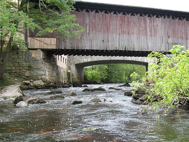
The middle sections offer some of the most scenic paddling, with long stretches of undeveloped shoreline, islands, and views of the surrounding mountains. Notable features include Sumner Falls in Hartland, VT, which requires a portage for most paddlers but offers exciting whitewater play for experts. The Cornish-Windsor covered bridge is a picturesque landmark.

As the river enters Massachusetts, it widens considerably. The French King Gorge and Turners Falls area provide some of the most dramatic scenery. Below Turners Falls, the river becomes a series of long flatwater pools behind hydroelectric dams. These sections are popular for day trips and offer abundant wildlife viewing opportunities.

The Connecticut River is suitable for paddlers of all skill levels, though some sections require more experience. Most of the river is flatwater, making it ideal for canoes and recreational kayaks. However, water levels can fluctuate significantly due to dam releases, so checking flow rates is essential. Spring and fall are generally the best seasons for paddling, offering comfortable temperatures and higher water levels. Summer can be enjoyable but may require more portaging in shallow sections.

The river hosts a variety of wildlife, including bald eagles, ospreys, herons, and migratory waterfowl. Several long-distance paddling trails have been established along the river. The Connecticut River Paddlers' Trail offers over 50 primitive campsites and access points, making multi-day trips possible. A typical 4-5 day trip might cover 50-70 miles, such as the scenic stretch from Canaan, VT to Guildhall, NH. Towns like Hanover, NH, Brattleboro, VT, and Northampton, MA provide convenient access points and resupply options.

Many sections of the river have historical significance, passing by old mill towns and sites important to Native American history. Safety considerations include being aware of dam releases, wearing life jackets, and respecting private property along the shores. Some sections, particularly in southern New England, can have heavy powerboat traffic during summer weekends.

Whether you're looking for a peaceful day float, an extended wilderness journey, or a fishing adventure, the Connecticut River offers a paddling experience for every taste. Its diverse character and rich history make it a true gem of New England's waterways.

Water access, boat ramps & amenities

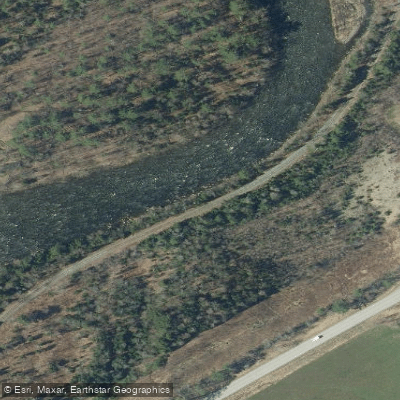
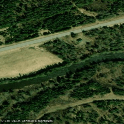
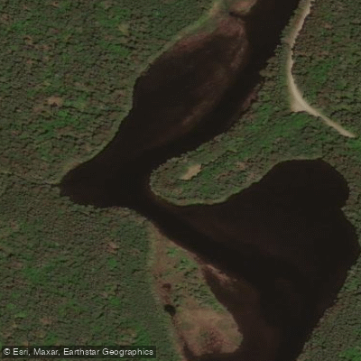
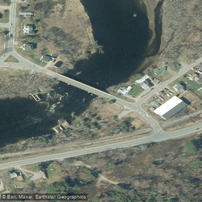
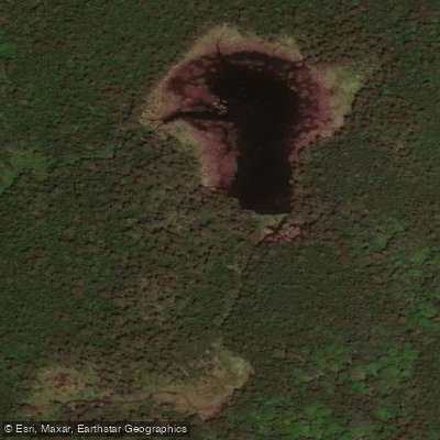
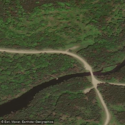
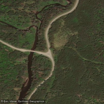
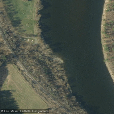
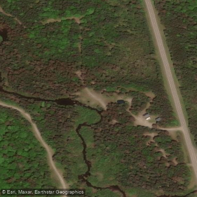
Learn how to get on Connecticut River. Uncover great paddling access points, boat ramps, and all the facilities you need for an unforgettable day on the water. Some locations shown may border or include private property. Always check property boundaries and applicable regulations before visiting. PaddleWays's Public & Private Land layer can help you plan your access with confidence.

Paddle smarter with real-time insights

Whether you're en route and conditions shift or you're looking for the best spot based on current flows, we enable you to make informed decisions on the fly.

Find Places to Paddle

Over 400,000 Places to Paddle

Every user gets free access to launch points, boat ramps, and public property parcels.

Water and weather conditions (10 day forecast)

See the best times to paddle Connecticut River and check the forecast before you go.

CONNECTICUT RIVER AT WELLS RIVER, VT

Loading flow chart…
Latest
10 yr average

All Flow Stations


Dam releases

Scheduled releases and generation forecasts from the dams on Connecticut River.

Bellows Falls Dam

Connecticut River · Below Bellows Falls · Great River Hydro

2,640 cfs now, 1,856 cfs from 12:00 AM EST

Next 48 hours

Today
5:00 PM EST to 12:00 AM EST
2,640 cfs
Tomorrow
12:00 AM EST to 12:00 AM EST
1,856 cfs
Great River Hydro on greatriverhydro.com

Forecast updated today at 5:23 PM EST. Schedules can change, so check the operator's page before you go.

Comerford Dam

Connecticut River · Below Comerford Dam · Great River Hydro

672 cfs now

Next 48 hours

Today
5:00 PM EST to 12:00 AM EST
672 cfs
Great River Hydro on greatriverhydro.com

Forecast updated today at 5:23 PM EST. Schedules can change, so check the operator's page before you go.

First Connecticut Lake Dam

Connecticut River · First Connecticut Lake to Lake Francis · Great River Hydro

101 cfs now

Next 48 hours

Today
5:00 PM EST to 12:00 AM EST
101 cfs
Great River Hydro on greatriverhydro.com

Forecast updated today at 5:23 PM EST. Schedules can change, so check the operator's page before you go.

McIndoes Dam

Connecticut River · Below McIndoes Dam · Great River Hydro

944 cfs now

Next 48 hours

Today
5:00 PM EST to 12:00 AM EST
944 cfs
Great River Hydro on greatriverhydro.com

Forecast updated today at 5:23 PM EST. Schedules can change, so check the operator's page before you go.

Moore Dam

Connecticut River · Below Moore Dam · Great River Hydro

6,757 cfs now, 419 cfs from 7:00 PM EST

Next 48 hours

Today
5:00 PM EST to 7:00 PM EST
6,757 cfs
Today
7:00 PM EST to 12:00 AM EST
419 cfs
Great River Hydro on greatriverhydro.com

Forecast updated today at 5:23 PM EST. Schedules can change, so check the operator's page before you go.

Murphy Dam (Lake Francis)

Connecticut River · Below Murphy Dam, Pittsburg · Great River Hydro

200 cfs now

Next 48 hours

Today
5:00 PM EST to 12:00 AM EST
200 cfs
Great River Hydro on greatriverhydro.com

Forecast updated today at 5:23 PM EST. Schedules can change, so check the operator's page before you go.

Second Connecticut Lake Dam

Connecticut River · Second to First Connecticut Lake · Great River Hydro

58 cfs now

Next 48 hours

Today
5:00 PM EST to 12:00 AM EST
58 cfs
Great River Hydro on greatriverhydro.com

Forecast updated today at 5:23 PM EST. Schedules can change, so check the operator's page before you go.

Vernon Dam

Connecticut River · Below Vernon Dam · Great River Hydro

3,110 cfs now, 2,265 cfs from 12:00 AM EST

Next 48 hours

Today
5:00 PM EST to 12:00 AM EST
3,110 cfs
Tomorrow
12:00 AM EST to 12:00 AM EST
2,265 cfs
Great River Hydro on greatriverhydro.com

Forecast updated today at 5:23 PM EST. Schedules can change, so check the operator's page before you go.

Wilder Dam

Connecticut River · Below Wilder Dam · Great River Hydro

5,000 cfs now, 750 cfs from 7:00 PM EST

Next 48 hours

Today
5:00 PM EST to 7:00 PM EST
5,000 cfs
Today
7:00 PM EST to 5:00 PM EST
750 cfs
Tomorrow
5:00 PM EST to 7:00 PM EST
5,000 cfs
Tomorrow
7:00 PM EST to 12:00 AM EST
750 cfs
Great River Hydro on greatriverhydro.com

Forecast updated today at 5:23 PM EST. Schedules can change, so check the operator's page before you go.


Explore Connecticut waters

Smarter Paddling Starts in the App.

Paddleways gives you everything you need to plan smarter, paddle better, and own every trip from first launch to takeout.