Paddling in New Hampshire
- Lakes
- 1,149
- Rivers
- 1,765
- Access
- 596
- Boat Ramps
- 1,112
- Shops
- 1
New Hampshire packs an unusual range of paddling into a small, mountainous state — hard whitewater off the Presidentials, deep flatwater on the northern lakes, and a tidal estuary outside Portsmouth, often within a weekend's drive of each other.
The whitewater here trends harder than visitors expect.
The East Branch of the Pemigewasset is the headline natural-flow run, a Class IV with named drops like Upper Loon and Boulder Garden that comes alive on late April and May snowmelt and drops out fast — local knowledge and gauge-watching aren't optional.
The Upper Ammonoosuc runs Class V in the same window, a four-mile expert piece draining straight off the high country.
The Ammonoosuc as a whole is a study in gradient: Bretton Woods to Twin Mountain settles into Class II–III, and by Littleton the river mellows enough for paddlers still finding their edges.
For something more dependable, the Pemi's Ayers Island section below the hydro dam runs Class II spring through fall, with a surf wave called Rodeo Hole that pulls everyone from first-time renters to club paddlers chasing playboating sessions.
Dam releases are the practical calendar — Ayers Island, Pontook, and Aziscohos in Maine, which bumps the Magalloway from Class II to Class III on scheduled days. North of the notches, the character shifts.
The Androscoggin runs wide and swift out of Errol — Class II/III at Errol Rapids, then long flat reaches through Thirteen Mile Woods — and feeds into Umbagog, a shallow wilderness lake straddling the Maine line with 33 boat-access campsites and resident moose, eagles, and bears.
This corridor is the New Hampshire piece of the Northern Forest Canoe Trail, and it feels genuinely remote despite Route 16 running not far off.
Late September into mid-October is the window most northern-tier paddlers wait for: foliage, better flows than late August, and quiet water. By August, several natural-flow reaches are too low to bother with.
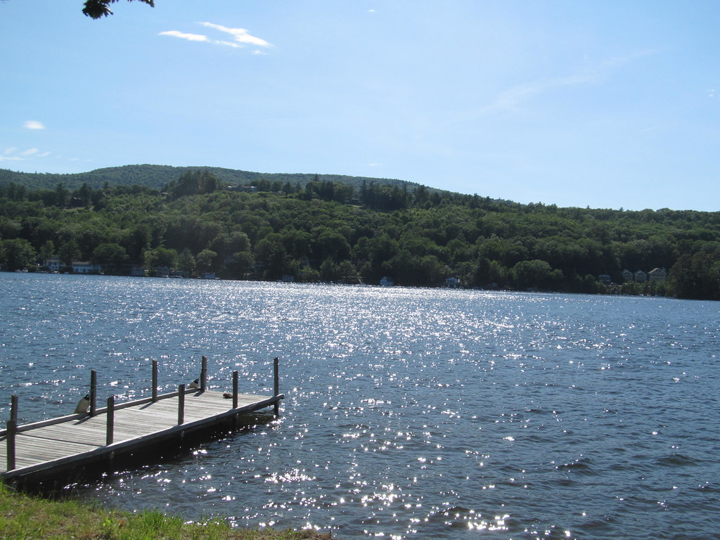
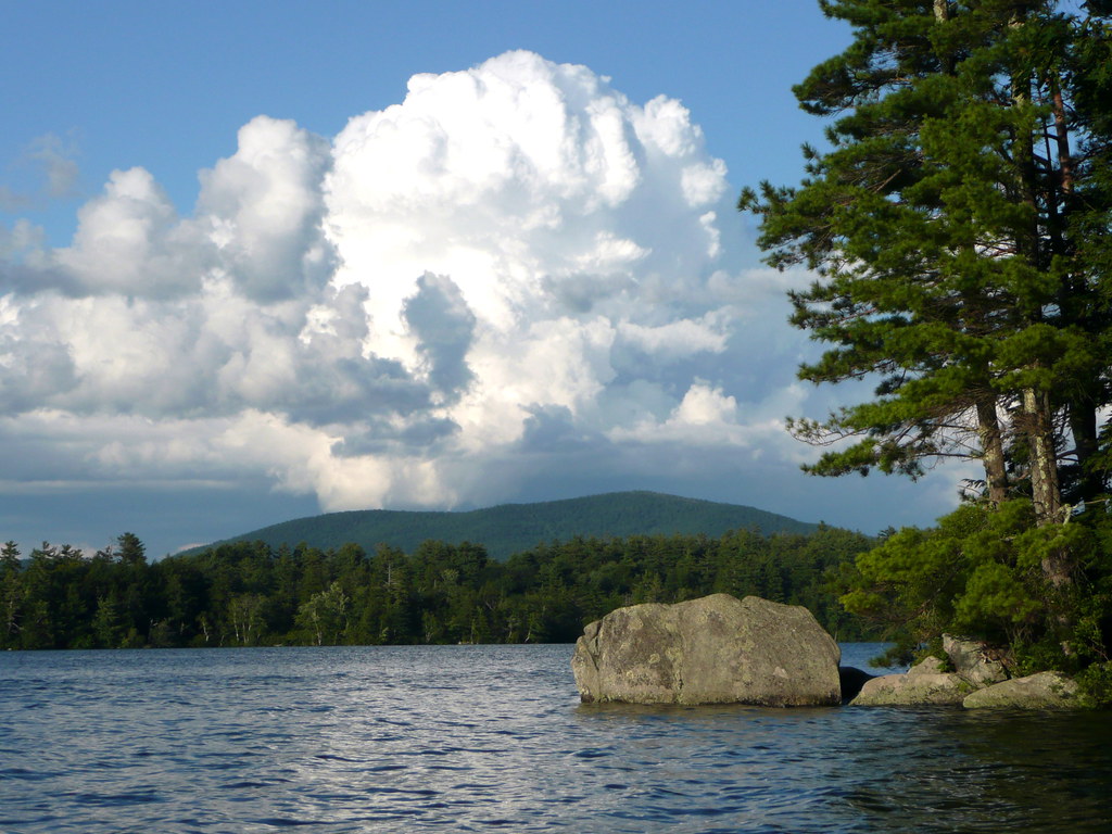
The Lakes Region is its own scene — Winnipesaukee's coves and islands, Squam's quieter mountain-backed water, Newfound out of Wellington State Park — flatwater touring that supports the canoe, kayak, and SUP rental economy of half the state's inns.
The Saco through the Mount Washington Valley fills the family-float niche, sandy and clear, with Saco Bound running shuttles out of Center Conway. Out on the coast, Great Bay is the outlier: a 5,000-acre estuary where tidal planning is the whole game.
At low tide as much as half the bay turns to mud you can't walk across, and the Piscataqua moves serious water. Paddlers launch from Odiorne Point and read the tide tables for their specific put-in, because timing varies end to end.
Across all of it, the season is shaped by snowpack, release schedules, and the discipline to clean, drain, and dry between waters.
Top waters to paddle near New Hampshire
Lake Winnipesaukee
Squam Lake
Lake Sunapee
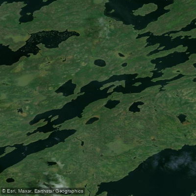
Newfound Lake
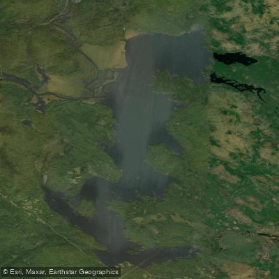
Umbagog Lake

Connecticut River

Merrimack River
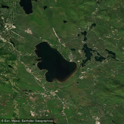
Ossipee Lake
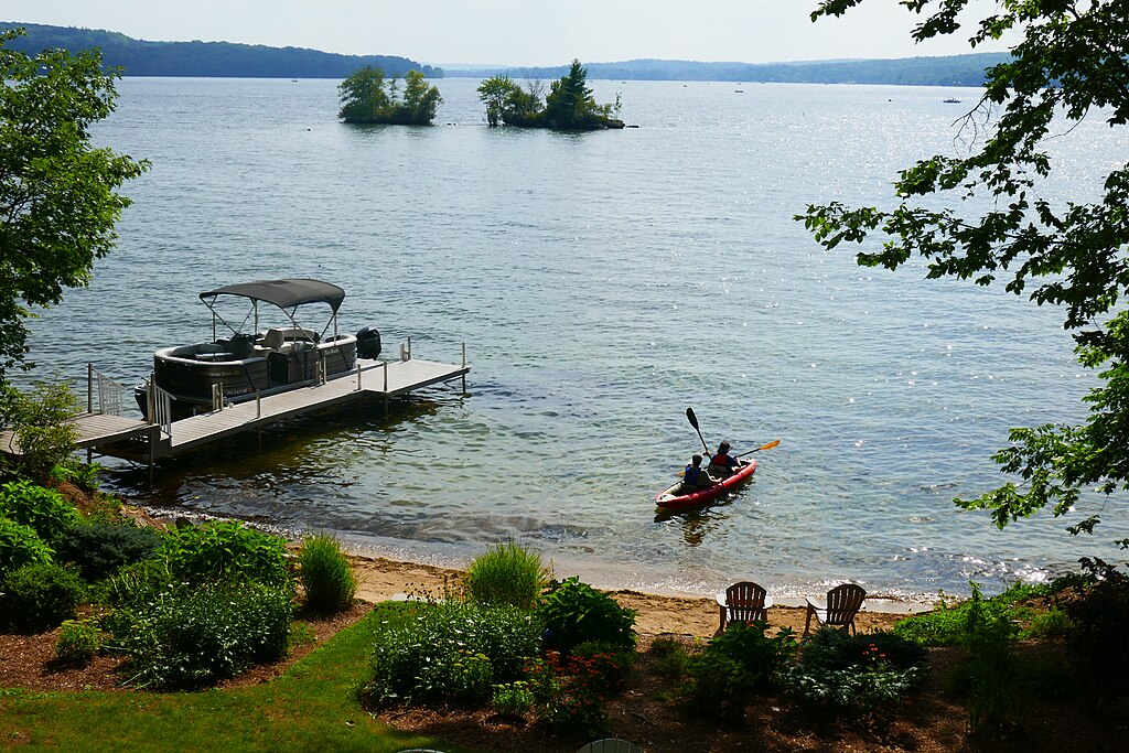
Lake Winnisquam
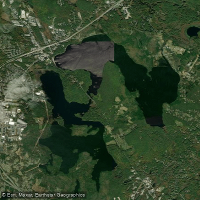
Massabesic Lake
Paddle smarter with real-time insights
Whether you're en route and conditions shift or you're looking for the best spot based on current flows, we enable you to make informed decisions on the fly.







New Hampshire licenses and regulations
Explore New Hampshire waters
Top paddling waters
Popular Cities
Loading popular cities...

Smarter Paddling Starts in the App.
Paddleways gives you everything you need to plan smarter, paddle better, and own every trip from first launch to takeout.