Curated by PaddleWays
RouteClass II–III
- Distance
- 5.7 mi
- Paddle time
- ~1.5 hrs
- Best for
- Intermediate paddlers
- Put-in → take-out
- Twin Mountain Access → Pierce Bridge Access
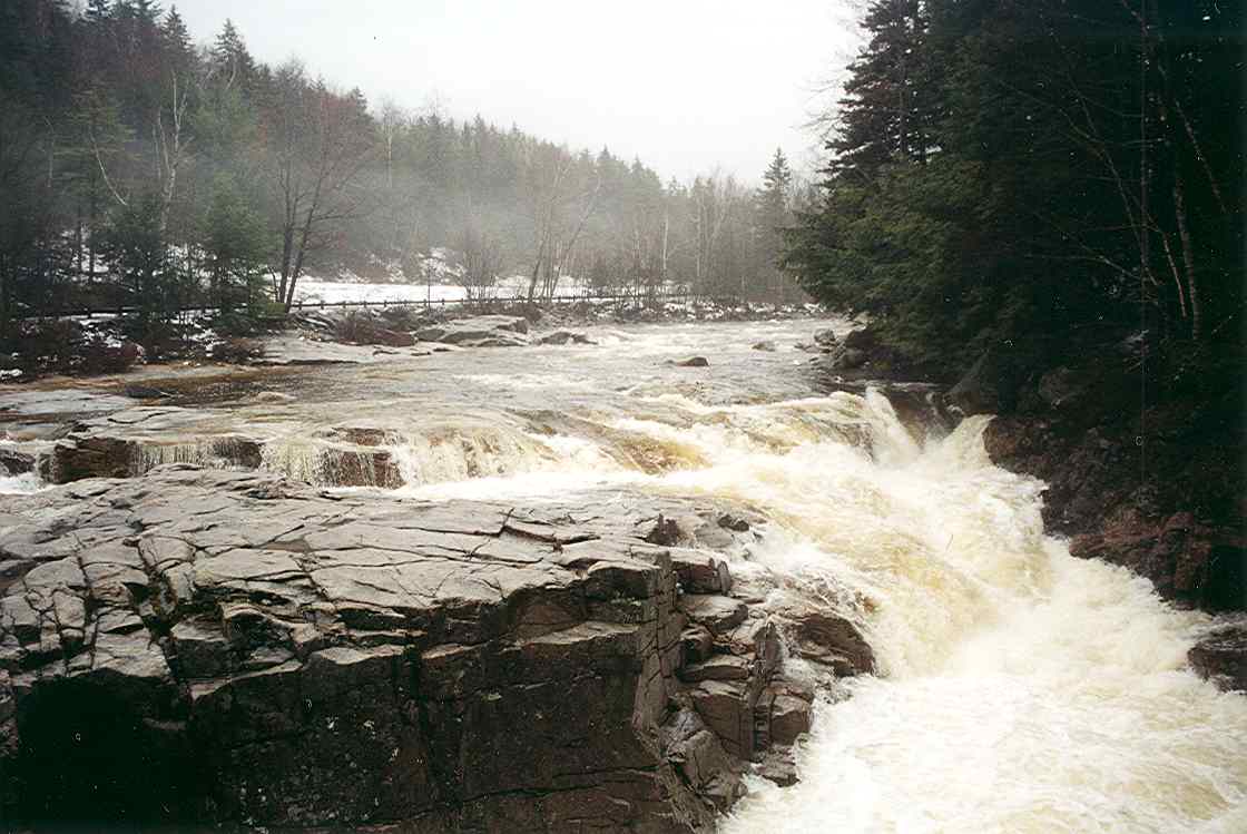
Boat Breaker Rapid requires careful navigation
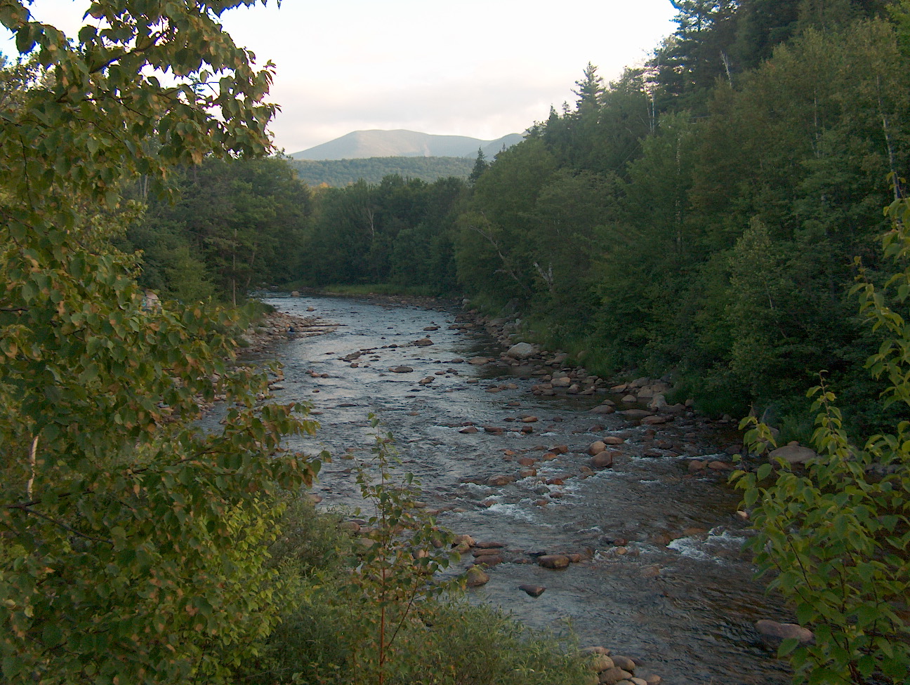
The Ammonoosuc River is a scenic waterway that flows through the heart of New Hampshire's White Mountains region. Originating high in the Presidential Range near Lakes of the Clouds, between Mount Washington and Mount Monroe, this 55-mile river offers paddlers a diverse range of experiences as it winds its way westward to join the Connecticut River.
The river can be broadly divided into three main sections, each with its own character. The upper reaches, from its source down to Twin Mountain, feature challenging Class IV-V whitewater suitable only for expert paddlers. The middle section, from Twin Mountain to Lisbon, offers an exciting mix of Class II-III rapids interspersed with calmer stretches, making it popular among intermediate paddlers. The lower section, from Lisbon to the Connecticut River confluence, is primarily flatwater, ideal for novice paddlers and relaxing floats.
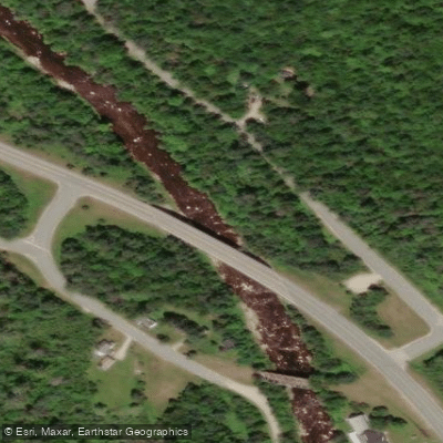
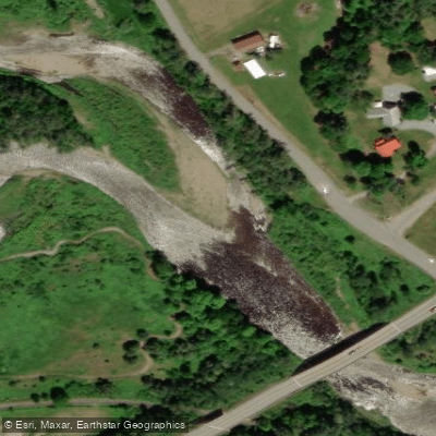
One of the most popular runs is the 2.9-mile stretch from Twin Mountain to Pierce Bridge, which includes the notorious "Boat Breaker Rapid" and provides continuous Class II-III action. For those seeking a longer adventure, the 7.3-mile section from Pierce Bridge to New Hampshire Route 116 offers a more challenging Class II-IV experience.
Paddling conditions on the Ammonoosuc River are typically best in spring and early summer when snowmelt and rainfall provide reliable water levels. By mid-summer, some sections may become too low for enjoyable paddling, particularly in dry years. Fall can offer a second window of opportunity if there's sufficient rainfall, with the added bonus of spectacular foliage views.
The river corridor supports a rich ecosystem, home to various fish species including brook, brown, and rainbow trout. Lucky paddlers might spot wildlife such as bald eagles, ospreys, and even the occasional moose along the more remote stretches. Several covered bridges span the Ammonoosuc, adding to its scenic charm. The Bath Covered Bridge, built in 1832, is a particular highlight and the oldest covered bridge still in use in New Hampshire.
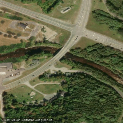
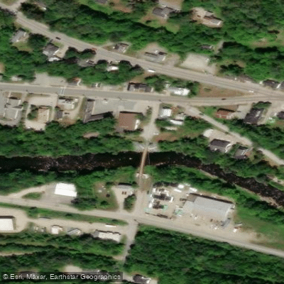
The river also passes through or near several historic mill towns, offering glimpses into the region's industrial past. Key access points include Bretton Woods, Twin Mountain, Littleton, and Bath. These towns provide amenities for paddlers, including outfitters, accommodations, and dining options. The proximity of the river to the White Mountain National Forest also makes it an excellent base for combining paddling trips with hiking or other outdoor activities.
Safety considerations on the Ammonoosuc include being prepared for sudden water level changes, especially after heavy rains. Paddlers should always wear appropriate safety gear and check current conditions before embarking on a trip. Some sections require portaging around dams, so familiarity with these locations is essential.
For those looking to extend their adventure, the Upper Ammonoosuc River (a separate river despite the similar name) offers excellent opportunities for multi-day trips. A popular overnight journey starts at Ray's Corner Country Store in Milan and ends at the newly improved Stark Access, with camping available at the Cordwell Campsite along the way.
The Ammonoosuc River, with its varied paddling options and stunning mountain scenery, remains a cherished destination for paddlers exploring New Hampshire's natural beauty. Whether you're seeking thrilling whitewater or a peaceful float through pristine forests, the Ammonoosuc offers a quintessential New England river experience.
Curated routes
Hand-picked by the PaddleWays team, with put-ins, take-outs, paddle times and the hazards along the way.
RouteClass II–III
RouteClass I–II
RouteClass II–IV
Hazards
No paddler has reported a hazard here yet, so these are the dams, falls and big rapids on our map. Hazards change with flows and storms, so check them before you launch.
From the community
Nobody has shared a trip on Ammonoosuc River yet. Paddle it, then tell the next paddler how it went.
See exactly where the public can get on and off the river. Launch points and boat ramps are paired with PaddleWays' public land data so you know where you can legally land.
Public shoreline
26%of the river's shoreline is public
Most of the riverbank is private. Launch, land and camp only at public access points.
Flows, weather and a route-by-route verdict, so you know which stretch of the Ammonoosuc River is worth paddling today.
All Flow Stations
Live flows, marked hazards and fresh trip reports from paddlers who were just on the water, all in one place.





Every user gets free access to launch points, boat ramps, and public property parcels.

Loading popular cities...
PaddleWays gives you everything you need to plan smarter, paddle better, and own every trip from first launch to takeout.