Great Bay
- Saltwater
- Bay
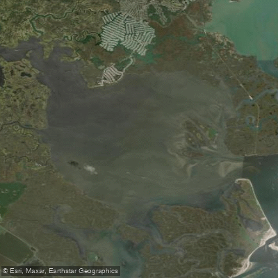
Great Bay
- Saltwater
- Bay
- Sq. miles
- 17
- Boat Ramps
- 1
- Access Points
- 0
- Campsites
- 7
Great Bay is a large coastal estuary on the New Hampshire seacoast, covering approximately 5,000 acres and extending 15 miles inland. It is a saltwater bay with 144 miles of shoreline, formed where several rivers meet the sea. Paddling here is fundamentally governed by the tides. During low tide, vast areas of the bay become exposed mud flats, which are impassable and can strand paddlers; planning a trip around high tide is essential. The timing of high and low tide varies significantly from one end of the bay to the other, requiring careful homework. Strong currents are present, particularly during tide changes and notably in the adjacent Piscataqua River. The bay offers a mix of wide-open water and narrower creeks lined with marsh grasses. The shoreline is characterized by forests, fields, and marshes. Motorboat traffic is present, though many operators are respectful of paddlers.
Numerous public launch sites provide access, though many are tide-dependent. Key put-ins include Adams Point, Chapman's Landing, Durham Town Landing, Exeter Town Landing, Jackson Landing, and New Market Town Landing. The Great Bay Discovery Center in Greenland accommodates car-top boats only, with no trailer access. Some sites like Odiorne Point State Park charge a parking fee. A significant portion of the shoreline is privately owned and inaccessible by road, making these designated launches critical. Paddlers can expect to see wildlife such as deer, osprey, great blue herons, egrets, kingfishers, cormorants, ducks, and swallows. Insect repellent is recommended when exploring the smaller creeks. The Great Bay Discovery Center organizes various guided paddling events throughout the summer, including sunset birding tours and full moon paddles, catering to different experience levels.
Water access, boat ramps & amenities
Learn how to get on Great Bay. Uncover great paddling access points, boat ramps, and all the facilities you need for an unforgettable day on the water. Some locations shown may border or include private property. Always check property boundaries and applicable regulations before visiting. PaddleWays's Public & Private Land layer can help you plan your access with confidence.
Paddle smarter with real-time insights
Whether you're en route and conditions shift or you're looking for the best spot based on current flows, we enable you to make informed decisions on the fly.








Find Places to Paddle

Over 400,000 Places to Paddle
Every user gets free access to launch points, boat ramps, and public property parcels.


Tides, wind & water conditions (10 day forecast)
On open water, wind and tide matter as much as the weather. See the best times to paddle Great Bay and check the marine forecast before you launch.
Loading tide predictions…
Paddling near Great Bay
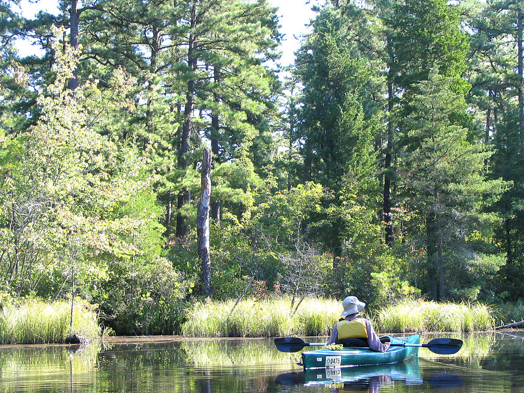
Mullica River
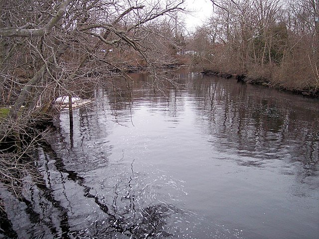
Great Egg Harbor River
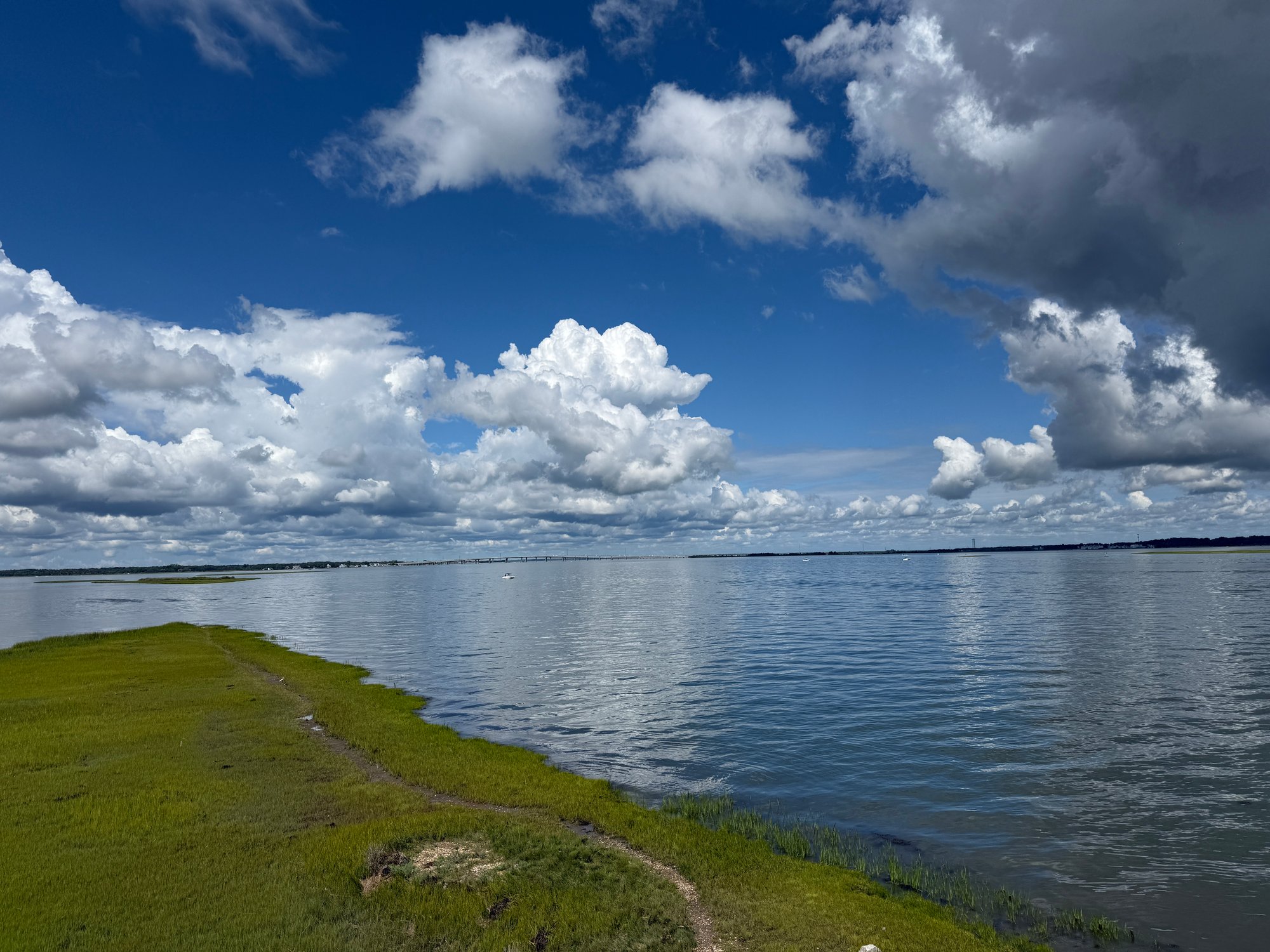
Great Egg Harbor

Delaware River
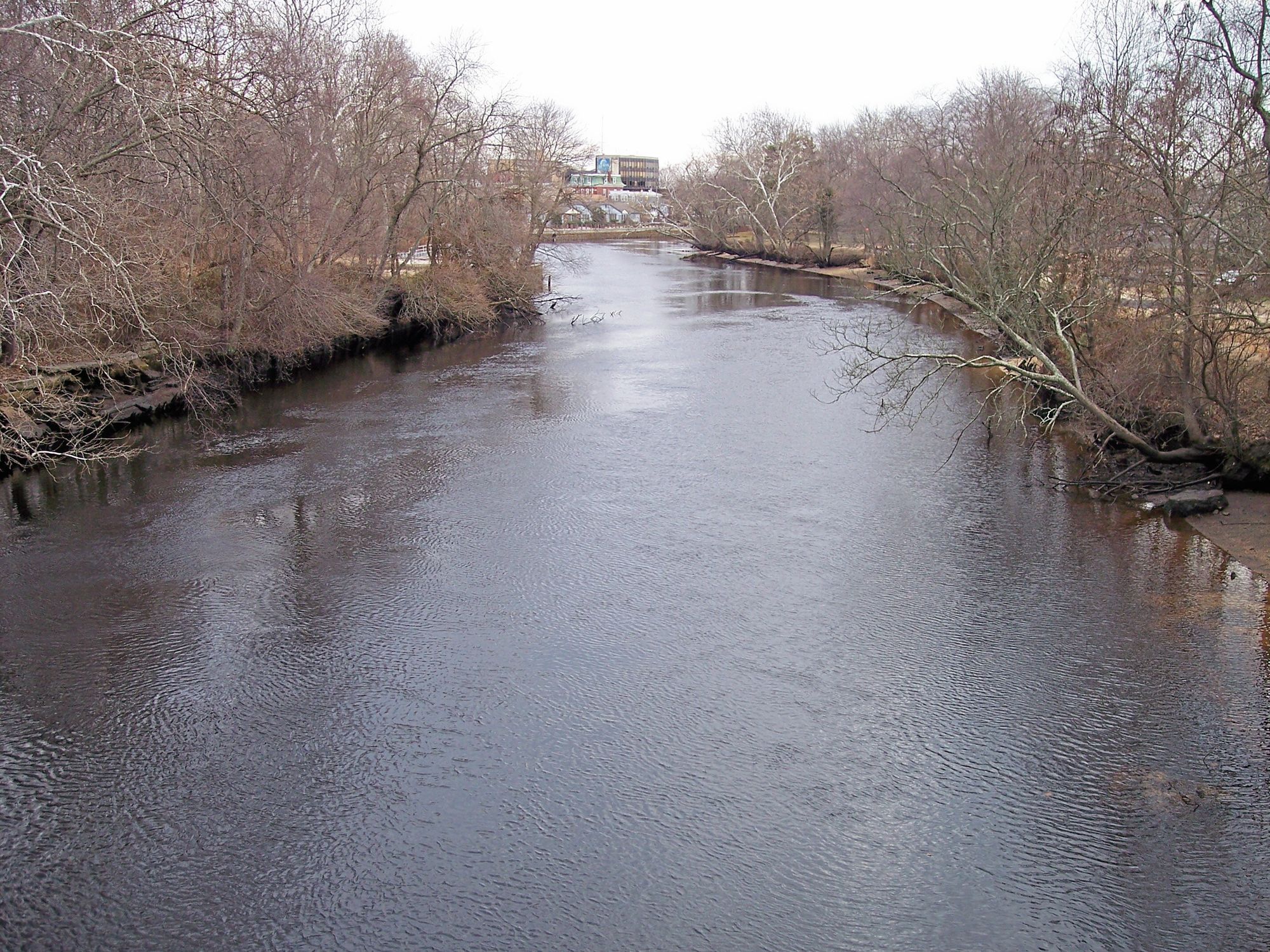
Maurice River
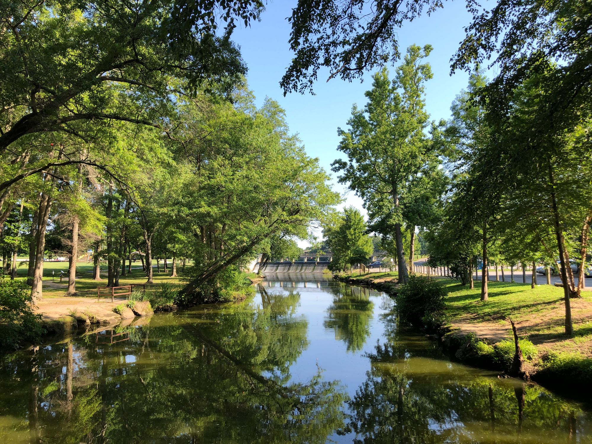
Saint Jones River
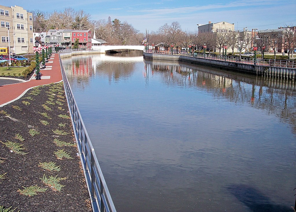
Cohansey River
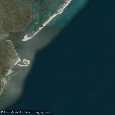
Little Egg Inlet
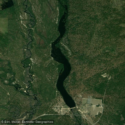
Batsto Lake
Explore New Jersey waters
Top paddling waters
Popular Cities
Loading popular cities...
Explore near Great Bay
Access points
Nearby waters
More in New Jersey

Smarter Paddling Starts in the App.
Paddleways gives you everything you need to plan smarter, paddle better, and own every trip from first launch to takeout.