Nantuxent Cove
- Saltwater
- Cove
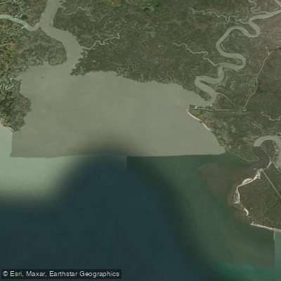
Nantuxent Cove
- Saltwater
- Cove
- Sq. miles
- 2.5
- Boat Ramps
- 0
- Access Points
- 6
- Campsites
- 0
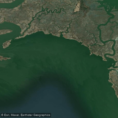
Nantuxent Cove is a tidal estuary and embayment of Delaware Bay in Cumberland County, New Jersey. It is a coastal saltwater environment characterized by extensive marshlands and a network of tidal creeks. The cove receives the outflow of Nantuxent Creek, a 5.5-mile-long estuary that forms part of the border between Lawrence and Downe Townships. The primary public access point for paddlers is the Money Island Marina, located at the Nantuxent Creek entrance to the cove. This is a working marina and a significant seafood landing port, so paddlers must expect moderate vessel traffic from commercial fishing boats and recreational vessels. Parking at the marina is limited, and launching is done from a public beach, meaning your feet will get wet; the facility is not wheelchair accessible. The area is subject to significant tidal influence, with a typical tidal range of approximately 5 to 7 feet, as indicated by data from the nearby Back Creek entrance station. Currents within the protected cove and creek are generally gentle to moderate, but they are entirely driven by the tide. Paddlers should plan their route to work with the tidal flow, especially when venturing into Nantuxent Creek, and consult current tide tables for the area. The open waters of Delaware Bay are exposed to wind, which can create chop, but the creeks and the cove itself offer more protected paddling. The surrounding landscape includes the Nantuxent Wildlife Management Area on Jones Island, providing opportunities to observe various bird species and marine life in a calm, marshy environment. A suggested route is the Nantuxent Cove Wildlife Loop, which explores these protected marshlands. Hazards include seasonal biting flies (greenheads) and the ever-present need for awareness of boat traffic and tidal changes. The marina offers small boat rentals intended for use specifically within Nantuxent Cove and Nantuxent Creek.
Water access, boat ramps & amenities
Learn how to get on Nantuxent Cove. Uncover great paddling access points, boat ramps, and all the facilities you need for an unforgettable day on the water. Some locations shown may border or include private property. Always check property boundaries and applicable regulations before visiting. PaddleWays's Public & Private Land layer can help you plan your access with confidence.
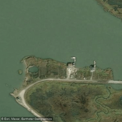
New Sweden Wildlife Management Area Access
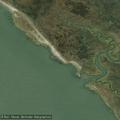
New Sweden Wildlife Management Area Access
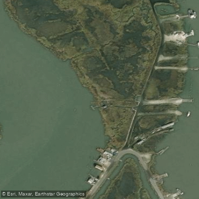
Nantuxent Wildlife Management Area Access
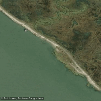
New Sweden Wildlife Management Area Access
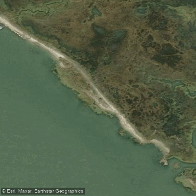
New Sweden Wildlife Management Area Access
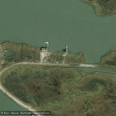
New Sweden Wildlife Management Area Access
Paddle smarter with real-time insights
Whether you're en route and conditions shift or you're looking for the best spot based on current flows, we enable you to make informed decisions on the fly.








Find Places to Paddle

Over 400,000 Places to Paddle
Every user gets free access to launch points, boat ramps, and public property parcels.


Tides, wind & water conditions (10 day forecast)
On open water, wind and tide matter as much as the weather. See the best times to paddle Nantuxent Cove and check the marine forecast before you launch.
Loading tide predictions…
Paddling near Nantuxent Cove

Delaware River
Lums Pond
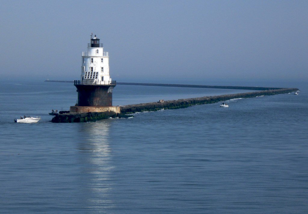
Delaware Bay
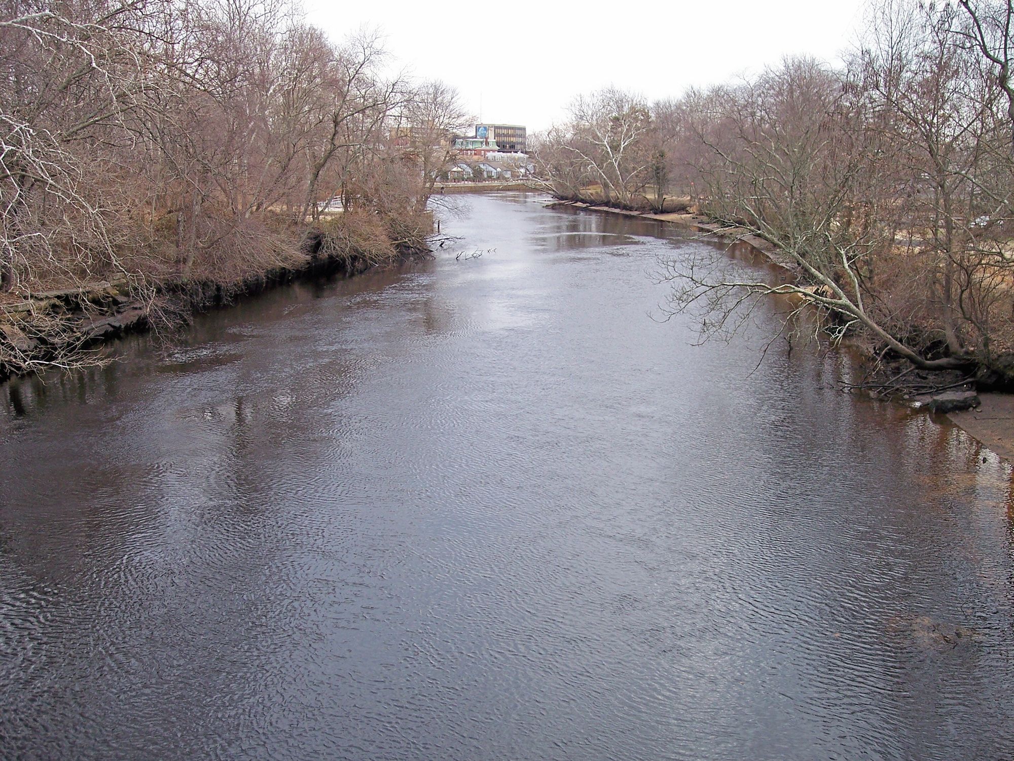
Maurice River
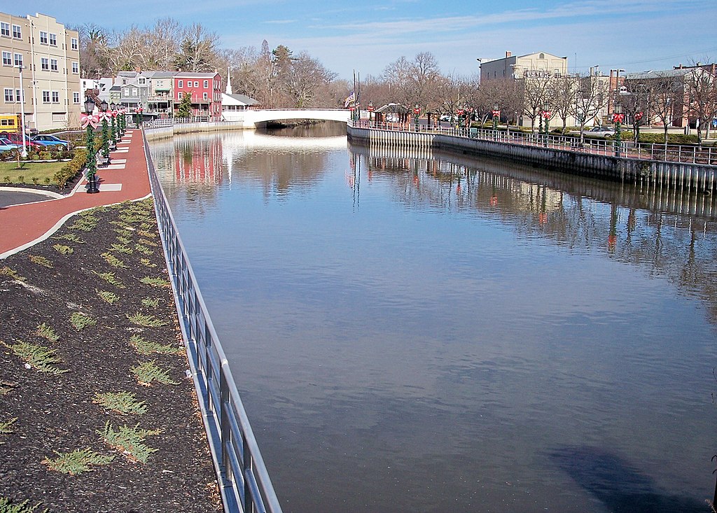
Cohansey River
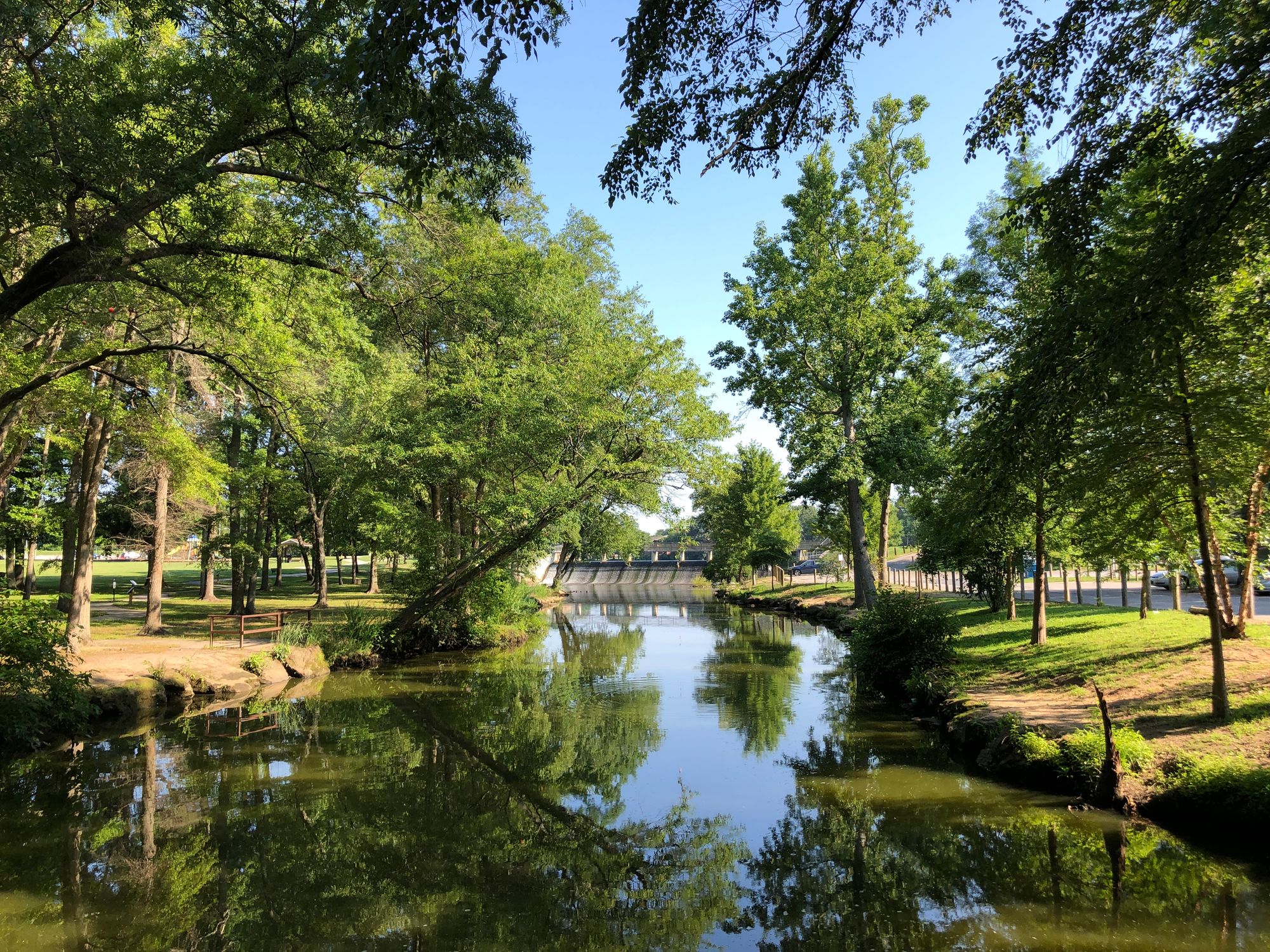
Saint Jones River
Cohansey Cove
Schuylkill River
Explore New Jersey waters
Top paddling waters
Popular Cities
Loading popular cities...
Explore near Nantuxent Cove
Access points
- New Sweden Wildlife Management Area Access
- New Sweden Wildlife Management Area Access
- Nantuxent Wildlife Management Area Access
- New Sweden Wildlife Management Area Access
- New Sweden Wildlife Management Area Access
- New Sweden Wildlife Management Area Access
- Cedar Ditch Bridge
- Cedar Creek Bridge
- Suttons Ditch Bridge
Nearby waters
More in New Jersey

Smarter Paddling Starts in the App.
Paddleways gives you everything you need to plan smarter, paddle better, and own every trip from first launch to takeout.