Lower Flats Boat Ramp
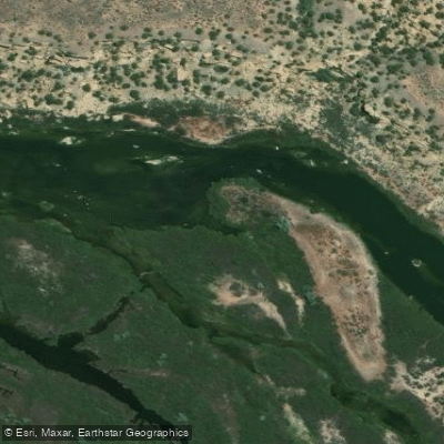
Lower Flats Boat Ramp
Lower Flats Fishing Access Site offers parking at the Munoz area (a Navajo Lake State Park lot with a pay station but no drinking water) located 2. 9 miles up Highway 173 and east on Highway 511 from Float 'N Fish.
The site provides trail access to the river from both the south side (via Frustration Point and Baetis Bend) and north side (via BLM parking at Simon Canyon or Cottonwood Campground), with most of the Lower Flats area being wadeable except during runoff.
This section is popular for both wade fishing and float trips, featuring varied water conditions from slow, smooth pools suitable for dry fly fishing to deeper runs with strong currents.
Nearby points of interest
Find excellent paddling spots, easy access to boat ramps, and all the amenities you need for a memorable day. Your adventure starts here.
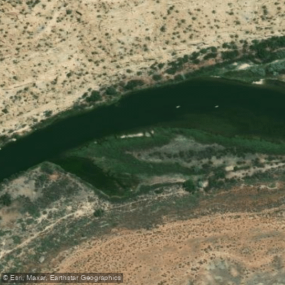
Baetis Bend Trail Access
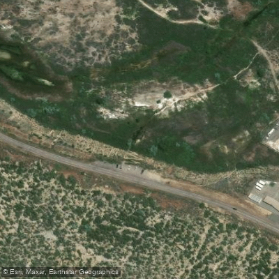
BOR Day Use Area
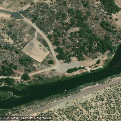
Cottonwood Access
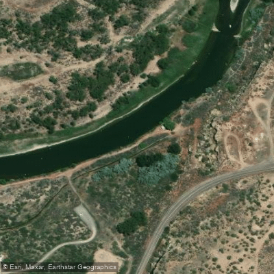
Motor Pool Access
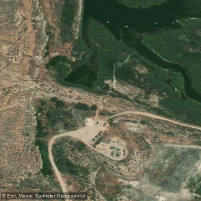
Munoz - Lower Flats Day Use Area
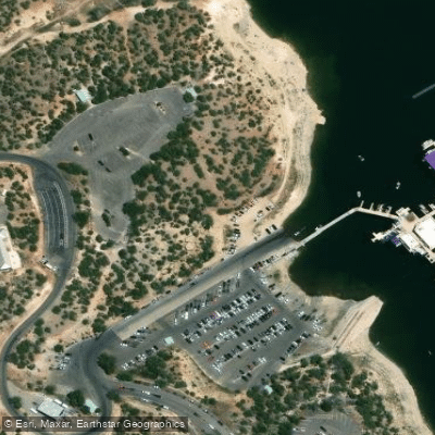
Pine Marina Access
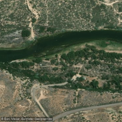
Pumphouse Day Use Area
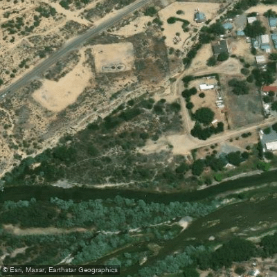
San Juan Fishing Easement Access
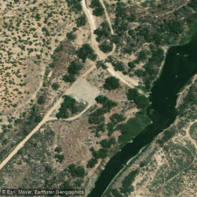
Simon Canyon Recreational Area
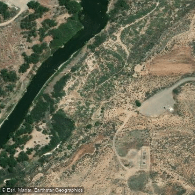
Simon Point Day Use Area Access
Water and weather conditions (10 day forecast)
Check the forecast at Lower Flats Boat Ramp before you go paddling.
No forecast data available.
Paddling near Lower Flats Boat Ramp
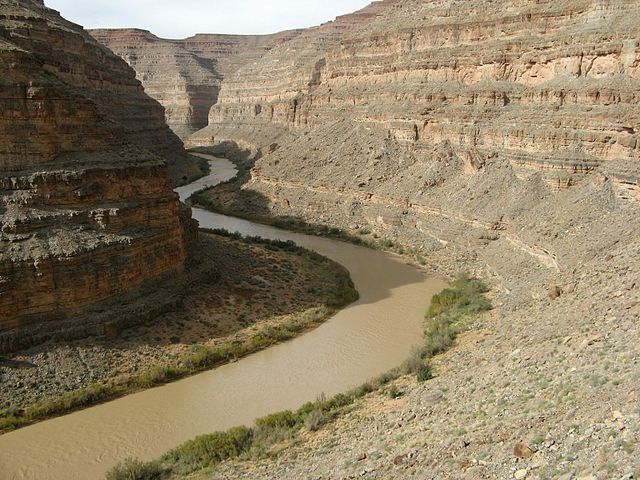
San Juan River
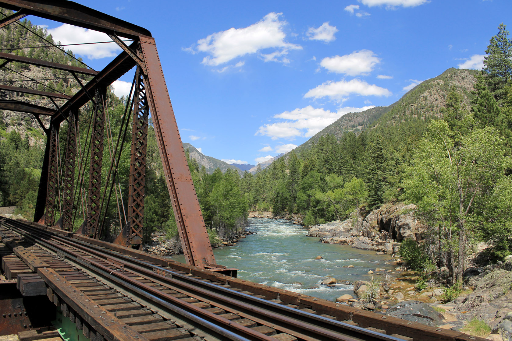
Animas River
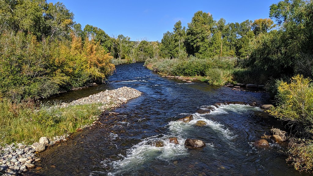
Los Pinos River
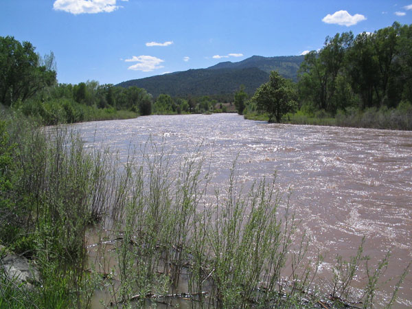
Piedra River
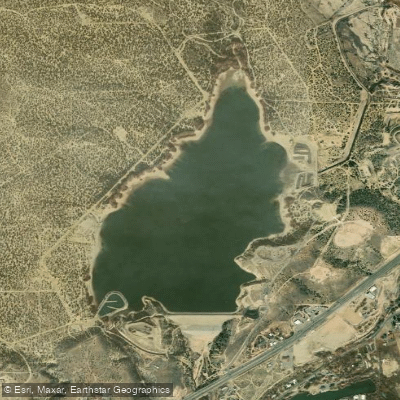
Beeline Reservoir
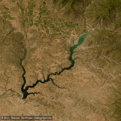
Navajo Reservoir
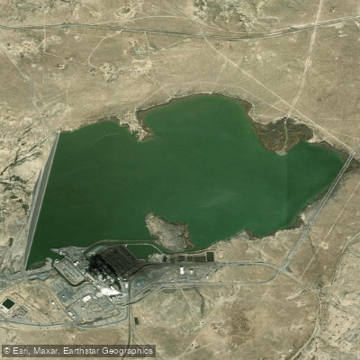
Morgan Lake
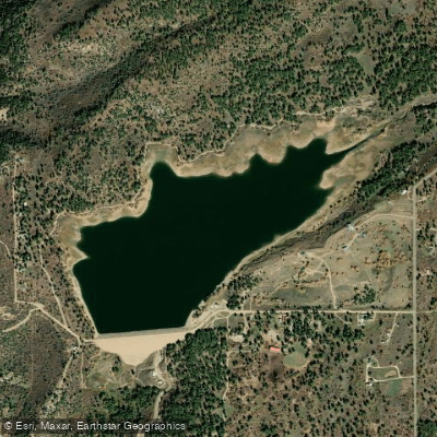
Jackson Gulch Reservoir
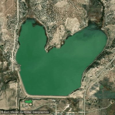
Totten Lake
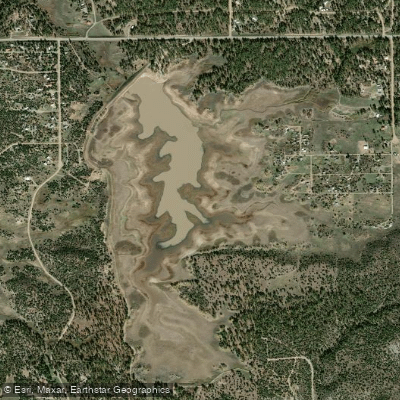
Summit Reservoir
New Mexico licenses and regulations
Explore New Mexico waters
Top paddling waters
No waters available right now.
Popular Cities
Loading popular cities...
Explore near Lower Flats Boat Ramp
Nearby spots
- Browns Corner Boat Ramp
- Crusher Hole Boat Ramp
- Crusher Hole Day Use Boat Ramp
- Navajo Lake Boat Ramp
- Navajo Lake Marina Boat Ramp
- Sims Marina Boat Ramp
- Texas Hole Day Use Area Boat Ramp
- Baetis Bend Trail Access
- BOR Day Use Area
- Cottonwood Access
- Motor Pool Access
- Munoz - Lower Flats Day Use Area
- All 21 nearby spots
Nearby waters
More in New Mexico

Smarter Paddling Starts in the App.
Paddleways gives you everything you need to plan smarter, paddle better, and own every trip from first launch to takeout.