Navajo Reservoir
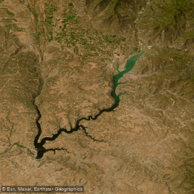
Navajo Reservoir
- Boat Ramps
- 6
- Access Points
- 24
- Campsites
- 2
Navajo Reservoir spans the Colorado-New Mexico border, offering 159 miles of shoreline and 15,000 surface acres of water for paddling. The reservoir is 35 miles long, providing ample space to explore. Kayaking, canoeing, and stand-up paddleboarding are permitted, with calm blue waters ideal for paddlers of all skill levels.
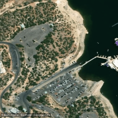
Access is available via a 110-foot boat ramp at Navajo State Park on the Colorado side, which can accommodate vessels of any size. Two Rivers Marina offers rentals and supplies. Paddlers should be aware that to travel the full length of the reservoir, valid registration is required in both Colorado and New Mexico.
The reservoir provides a refreshing break from the high desert climate. Summer is the prime paddling season, with early mornings and late afternoons offering the most pleasant conditions. Lifejackets are required, as there are no lifeguards on duty. Paddlers should also be prepared for insects, bringing repellent and wearing long sleeves.
Notable sights include red rock formations and open skies surrounding the northern portion of the reservoir. Wildlife viewing opportunities abound, with the chance to spot various bird species. Anglers can fish for northern pike, bass, trout, and other species (valid fishing licenses required for both states).
Five hiking trails of varying difficulty levels surround the reservoir, offering additional exploration. Camping is available at 138 sites, including RV spots and two rental cabins, allowing for multi-day paddling trips. Reservations are required for camping.
The reservoir serves as the principal storage for the Navajo Indian Irrigation Project, supplying water for agricultural, industrial, municipal, and recreational uses. Its creation has transformed this corner of the Southwest into a paddler's oasis, contrasting beautifully with the surrounding semi-arid landscape.
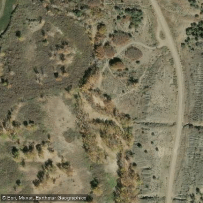
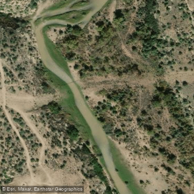
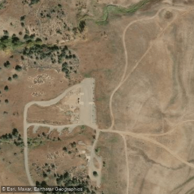
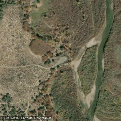
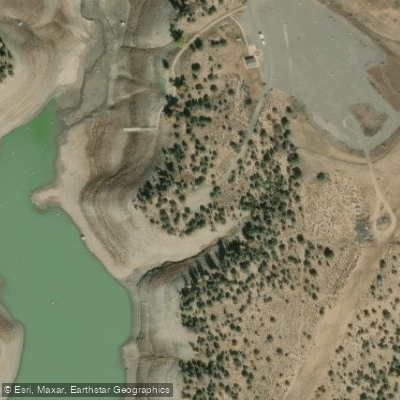
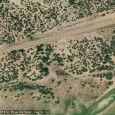
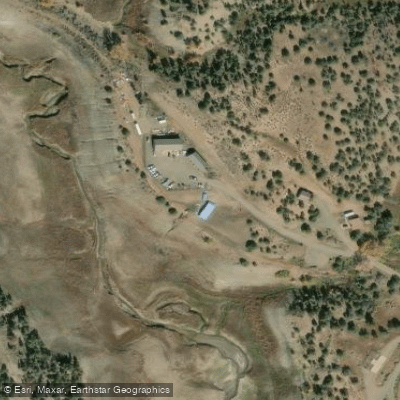
Water access, boat ramps & amenities
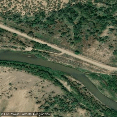
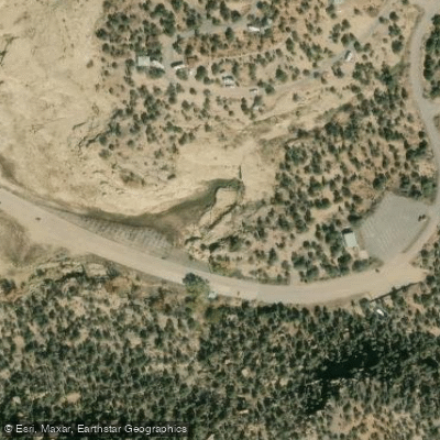
Learn how to get on Navajo Reservoir. Uncover great paddling access points, boat ramps, and all the facilities you need for an unforgettable day on the water. Some locations shown may border or include private property. Always check property boundaries and applicable regulations before visiting. PaddleWays's Public & Private Land layer can help you plan your access with confidence.
Paddle smarter with real-time insights
Whether you're en route and conditions shift or you're looking for the best spot based on current flows, we enable you to make informed decisions on the fly.








Find Places to Paddle

Over 400,000 Places to Paddle
Every user gets free access to launch points, boat ramps, and public property parcels.


Water and weather conditions (10 day forecast)
See the best times to paddle Navajo Reservoir and check the forecast before you go.
SAN JUAN RIVER NEAR CARRACAS, CO.
All Flow Stations
Paddling near Navajo Reservoir
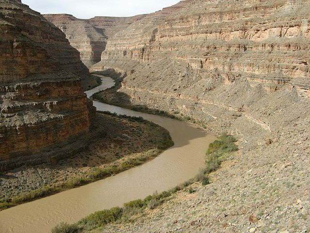
San Juan River
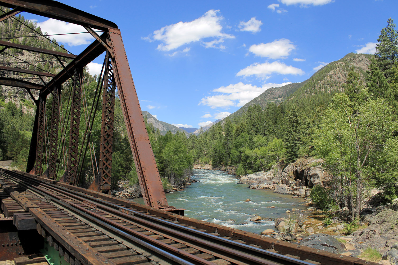
Animas River
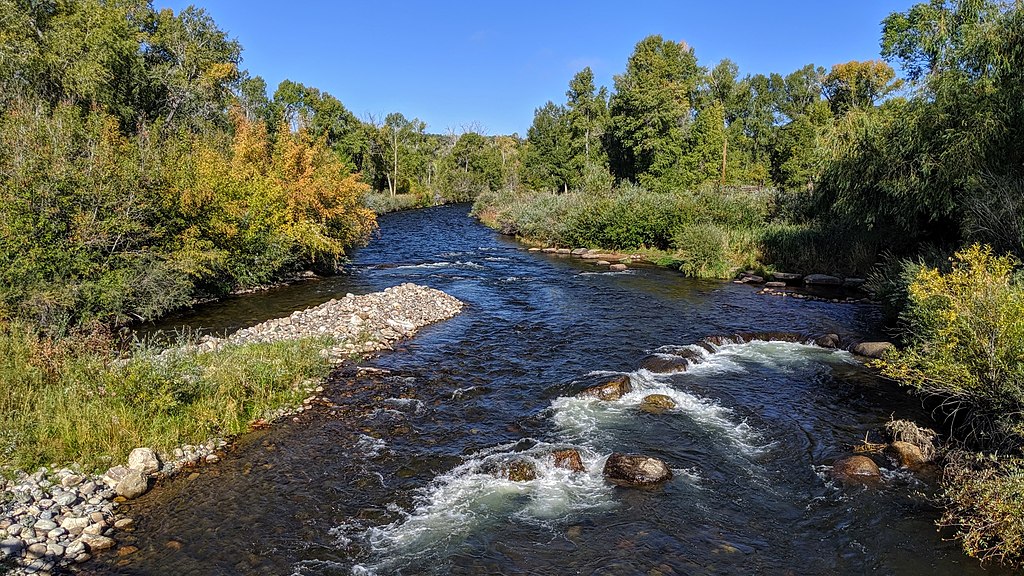
Los Pinos River
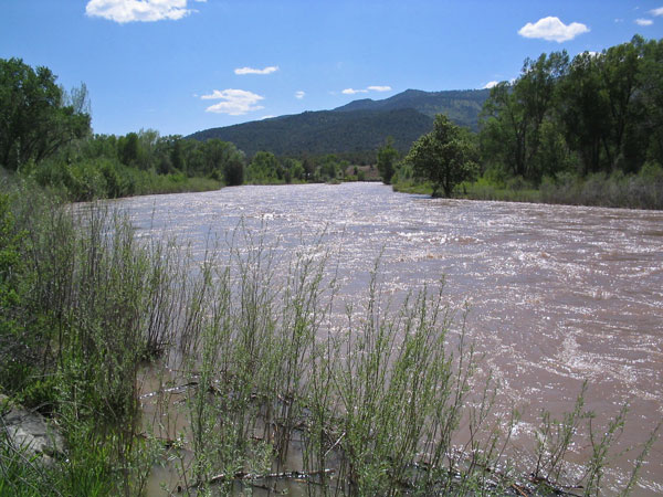
Piedra River
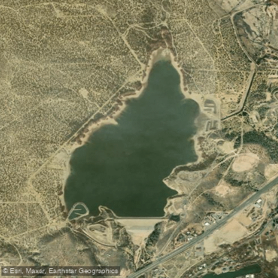
Beeline Reservoir
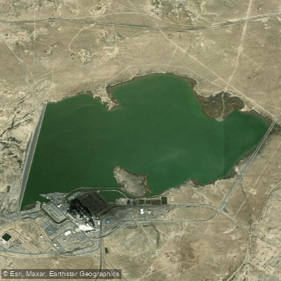
Morgan Lake
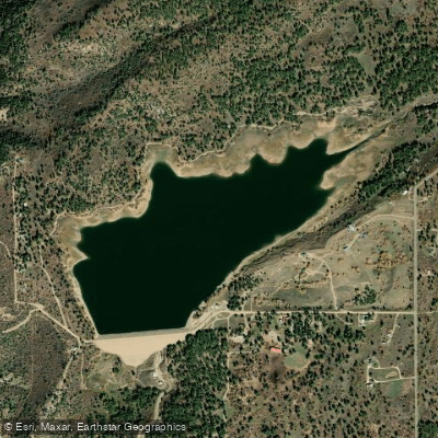
Jackson Gulch Reservoir
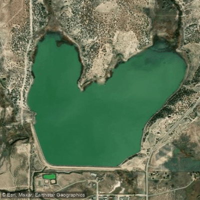
Totten Lake
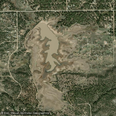
Summit Reservoir
Explore New Mexico waters
Top paddling waters
Popular Cities
Loading popular cities...
Explore near Navajo Reservoir
Access points
Nearby waters
More in New Mexico

Smarter Paddling Starts in the App.
Paddleways gives you everything you need to plan smarter, paddle better, and own every trip from first launch to takeout.