Tonawanda Creek
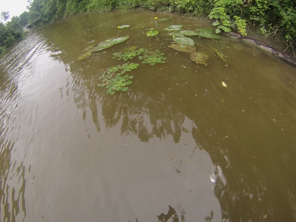
Tonawanda Creek
- Boat Ramps
- 5
- Access Points
- 16
- Campsites
- 1
Tonawanda Creek is a significant waterway in western New York, originating in Wyoming County and flowing westward for approximately 90 miles before joining the Niagara River in Tonawanda. The creek forms part of the Erie Canal system, merging with it in Pendleton. Its watershed covers parts of Erie, Genesee, Niagara, and Wyoming counties.
Paddling opportunities abound on Tonawanda Creek, with several popular sections offering diverse experiences. The East Pembroke section in Genesee County provides a peaceful, meandering route perfect for beginners and nature enthusiasts. Further west, the Kiwanis Park section in Batavia offers easy access and scenic views. As the creek approaches its confluence with the Erie Canal, the Amherst Veterans Canal Park area becomes a hub for paddlers, featuring both creek and canal paddling options.
The difficulty level is primarily flatwater, making Tonawanda Creek suitable for paddlers of all skill levels. However, water conditions can vary seasonally, with spring often bringing higher water levels and faster currents. Late spring through early fall is generally the best time for paddling, offering comfortable temperatures and more stable water levels.
The creek's ecosystem supports a variety of wildlife, including herons, beavers, and numerous fish species. Paddlers often encounter lush vegetation along the banks, with honeysuckle being particularly prevalent in some areas.
Key access points include the East Pembroke Canoe/Kayak Launch, Kiwanis Park in Batavia, and Amherst Veterans Canal Park. These locations offer parking and launch facilities, making them convenient starting points for day trips.
Historically, Tonawanda Creek played a crucial role in the development of western New York, particularly as part of the Erie Canal system. Today, it continues to be an important recreational resource, offering a unique blend of natural beauty and historical significance.
Safety considerations include being aware of weather conditions, as the open nature of some sections can lead to wind exposure. Paddlers should also be cautious of occasional low-hanging branches and submerged obstacles, especially in less-traveled sections.
For those interested in multi-day adventures, the creek's connection to the Erie Canal opens up possibilities for longer journeys, potentially combining creek paddling with canal exploration. However, most paddlers typically enjoy Tonawanda Creek as a series of day trips, exploring its various sections and the surrounding landscapes of western New York.
Water access, boat ramps & amenities
Learn how to get on Tonawanda Creek. Uncover great paddling access points, boat ramps, and all the facilities you need for an unforgettable day on the water. Some locations shown may border or include private property. Always check property boundaries and applicable regulations before visiting. PaddleWays's Public & Private Land layer can help you plan your access with confidence.
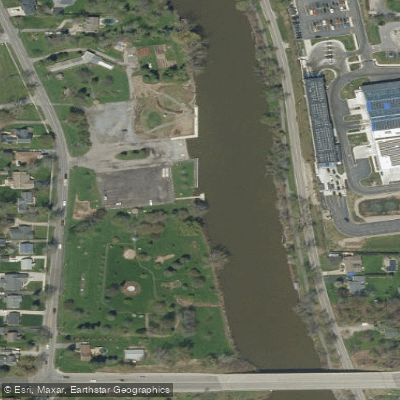
NT Boat Ramp
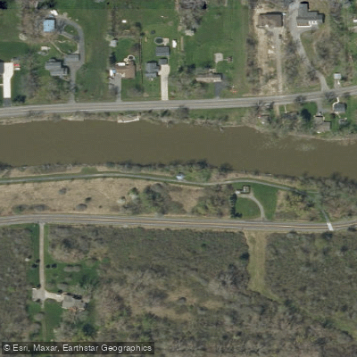
Tonawanda Creek Trail
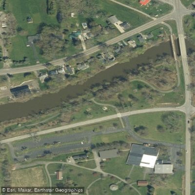
Tonawanda Creek Access
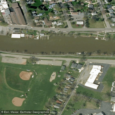
East Niagara Park Access
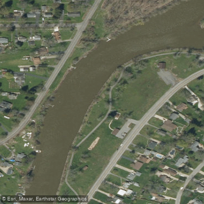
Irvington Park Trail Access
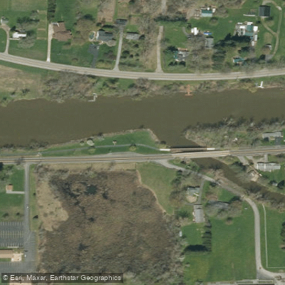
Ransom Creek Access
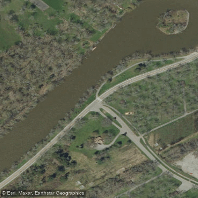
Ellicott Creek Park Access
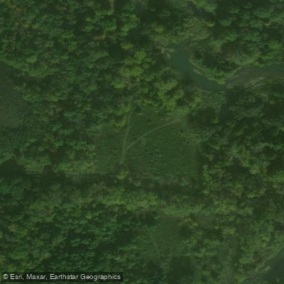
Hopkins Road Access
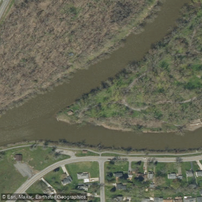
Ellicott Island Park Access
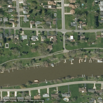
Mayors Park Access
Paddle smarter with real-time insights
Whether you're en route and conditions shift or you're looking for the best spot based on current flows, we enable you to make informed decisions on the fly.








Find Places to Paddle

Over 400,000 Places to Paddle
Every user gets free access to launch points, boat ramps, and public property parcels.


Water and weather conditions (10 day forecast)
See the best times to paddle Tonawanda Creek and check the forecast before you go.
TONAWANDA CREEK AT BATAVIA NY
All Flow Stations
Paddling near Tonawanda Creek
Lake Ontario

Lake Erie
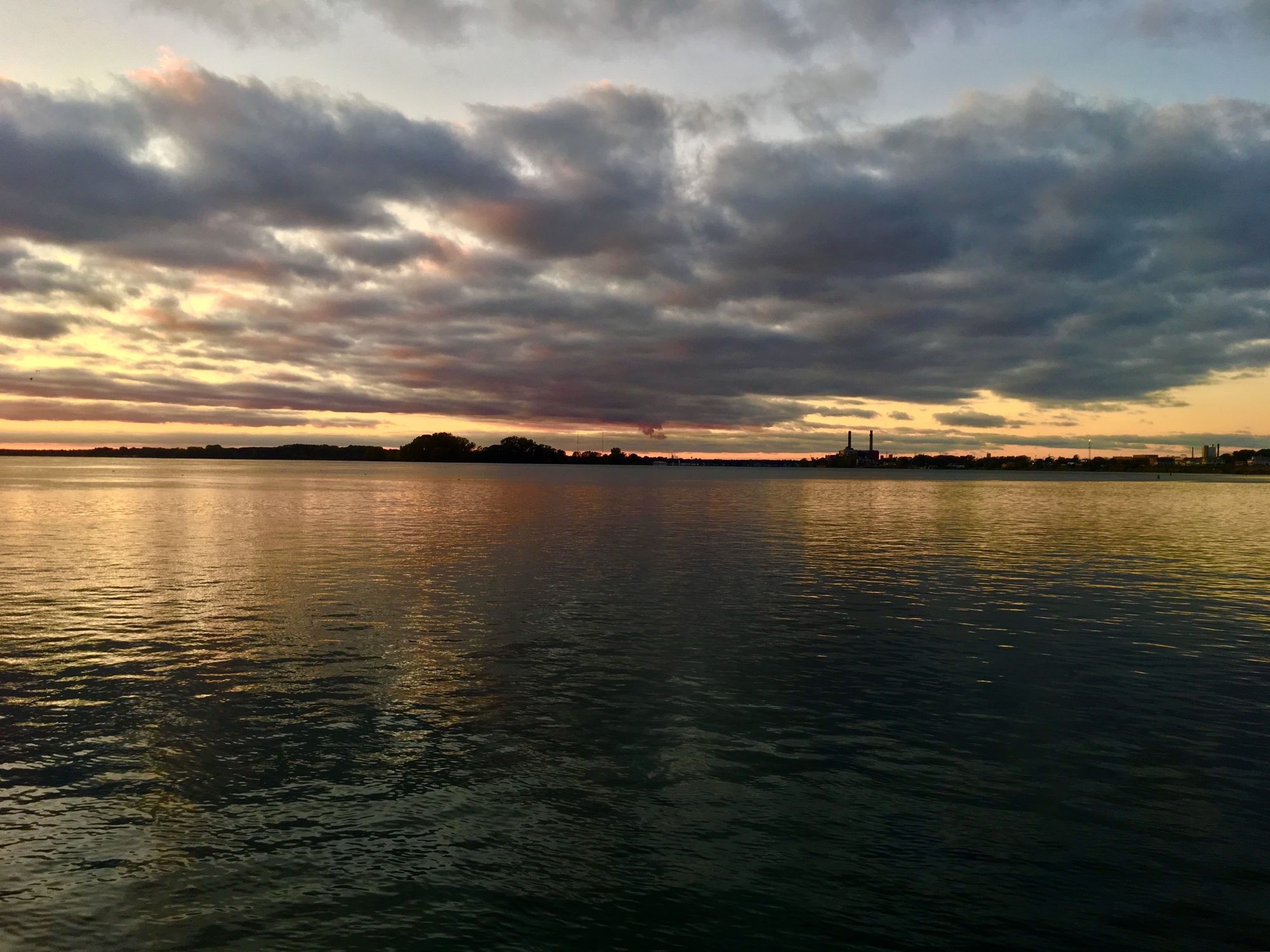
Niagara River
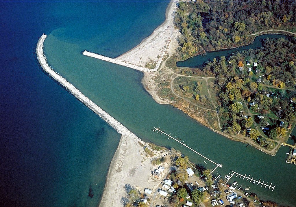
Cattaraugus Creek
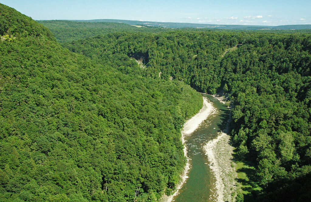
Genesee River

Saint Lawrence River
Glenwood Lake
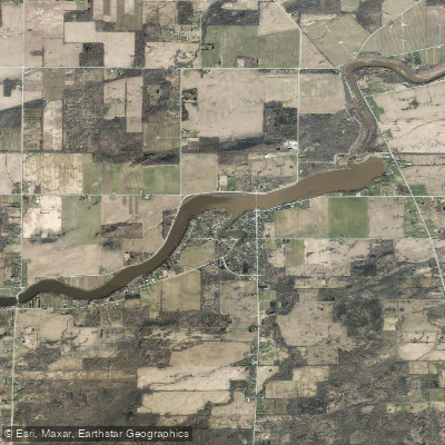
Waterport Pond
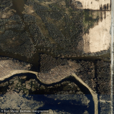
Oak Orchard Creek
Explore New York waters
Top paddling waters
Popular Cities
Loading popular cities...
Explore near Tonawanda Creek
Access points
- Amherst Veterans Canal Park Boat Ramp
- Erie Canal Tonawanda Creek Boat Ramp
- Erie Canal Tonawanda Creek Boat Ramp
- Erie Canal Tonawanda Creek Boat Ramp
- Erie Canal Tonawanda Creek Boat Ramp
- NT Boat Ramp
- Tonawanda Creek Trail
- Tonawanda Creek Access
- East Niagara Park Access
- Irvington Park Trail Access
- Ransom Creek Access
- Ellicott Creek Park Access
- All 179 spots
Nearby waters
More in New York

Smarter Paddling Starts in the App.
Paddleways gives you everything you need to plan smarter, paddle better, and own every trip from first launch to takeout.