Oneida Lake
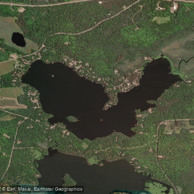
Oneida Lake
- Boat Ramps
- 1
- Access Points
- 1
- Campsites
- 0
Oneida Lake is a 255-acre body of water in Oneida County, Wisconsin, with a maximum depth of 34 feet. The lake features a public boat landing that provides access for paddlers. The lake supports a diverse fish population including musky, panfish, largemouth bass, smallmouth bass, northern pike, and walleye.
The Oneida Nation offers kayaking programs on the lake through their Oneida Adventures program. Wildlife viewing opportunities are abundant, with eagles, hawks, osprey, turtles, and deer frequently visible around the lake. The lake is also home to various aquatic plants.
For those interested in combining paddling with fishing, the lake offers handicap-accessible docks. The Wisconsin Department of Natural Resources maintains and manages the lake, and standard state boating regulations apply. Before launching, paddlers should check the public boat landing for any posted local ordinances that may be more restrictive than state regulations.
Conservation efforts focus on maintaining the fish population and water quality. The lake may expand in size pending future development plans.
Paddlers should be aware that they are required to clean their boats, trailers, and equipment before and after use to prevent the spread of invasive species, as mandated by state law. Additionally, regulations prohibit releasing bait or water from boats into the lake.
The surrounding landscape offers excellent wildlife viewing opportunities, particularly for bird enthusiasts. The lake's location in Oneida County places it within the broader Northwoods region, known for its natural beauty and outdoor recreation opportunities.
Water access, boat ramps & amenities
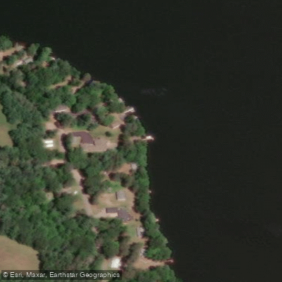
Learn how to get on Oneida Lake. Uncover great paddling access points, boat ramps, and all the facilities you need for an unforgettable day on the water. Some locations shown may border or include private property. Always check property boundaries and applicable regulations before visiting. PaddleWays's Public & Private Land layer can help you plan your access with confidence.
Paddle smarter with real-time insights
Whether you're en route and conditions shift or you're looking for the best spot based on current flows, we enable you to make informed decisions on the fly.








Find Places to Paddle

Over 400,000 Places to Paddle
Every user gets free access to launch points, boat ramps, and public property parcels.


Water and weather conditions (10 day forecast)
See the best times to paddle Oneida Lake and check the forecast before you go.
No forecast data available.
Paddling near Oneida Lake
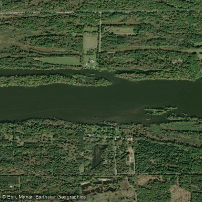
Wisconsin River
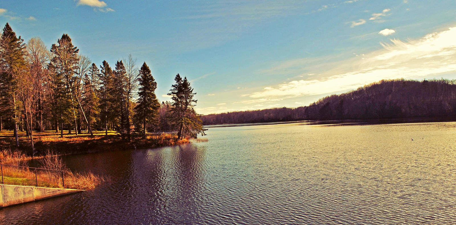
Mondeaux Flowage
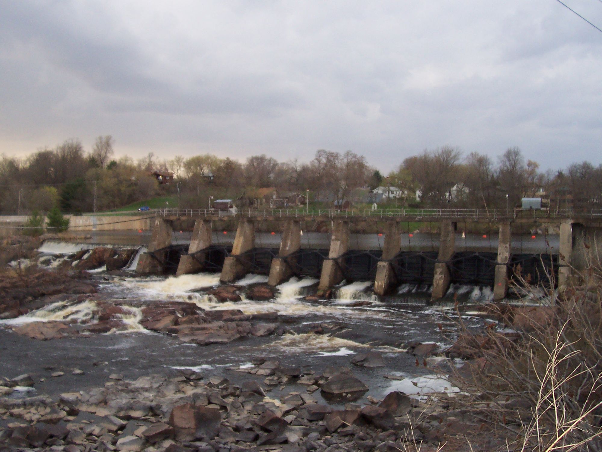
Black River
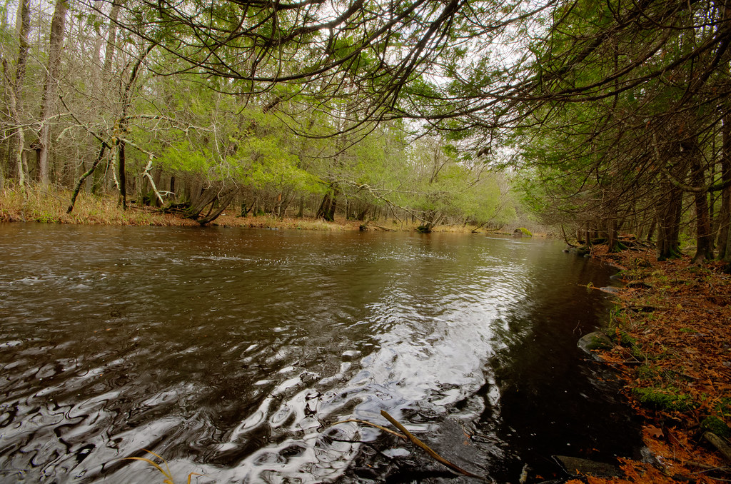
Wolf River
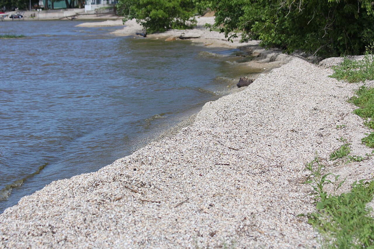
Red River
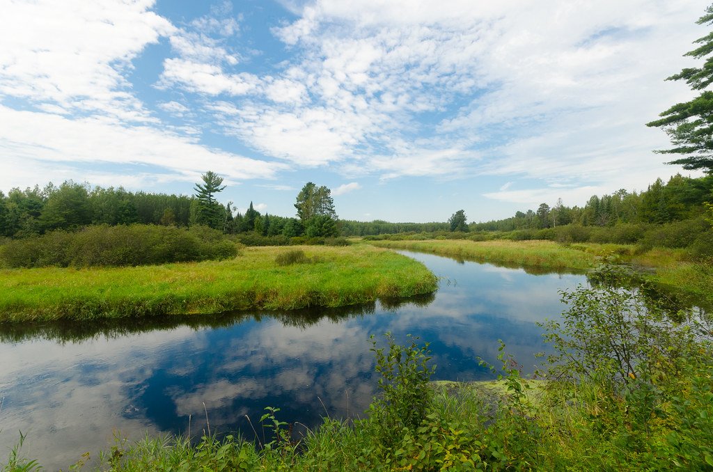
Tomahawk River
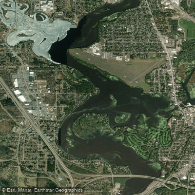
Lake Wausau
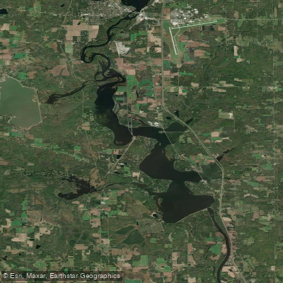
Lake Dubay 4890
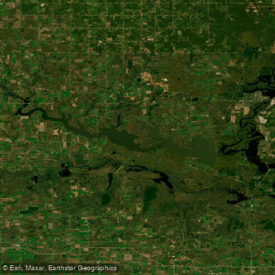
Big Eau Pleine Reservoir
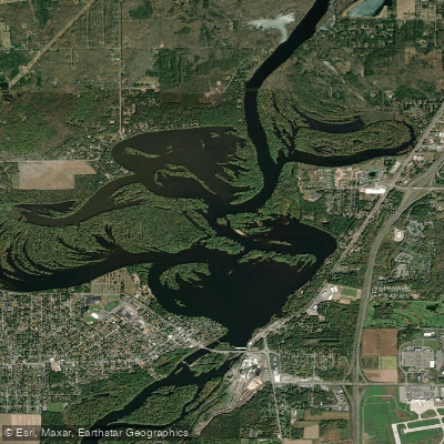
Mosinee Flowage
Explore Wisconsin waters
Top paddling waters
Popular Cities
Loading popular cities...
Explore near Oneida Lake

Smarter Paddling Starts in the App.
Paddleways gives you everything you need to plan smarter, paddle better, and own every trip from first launch to takeout.