Seneca Lake
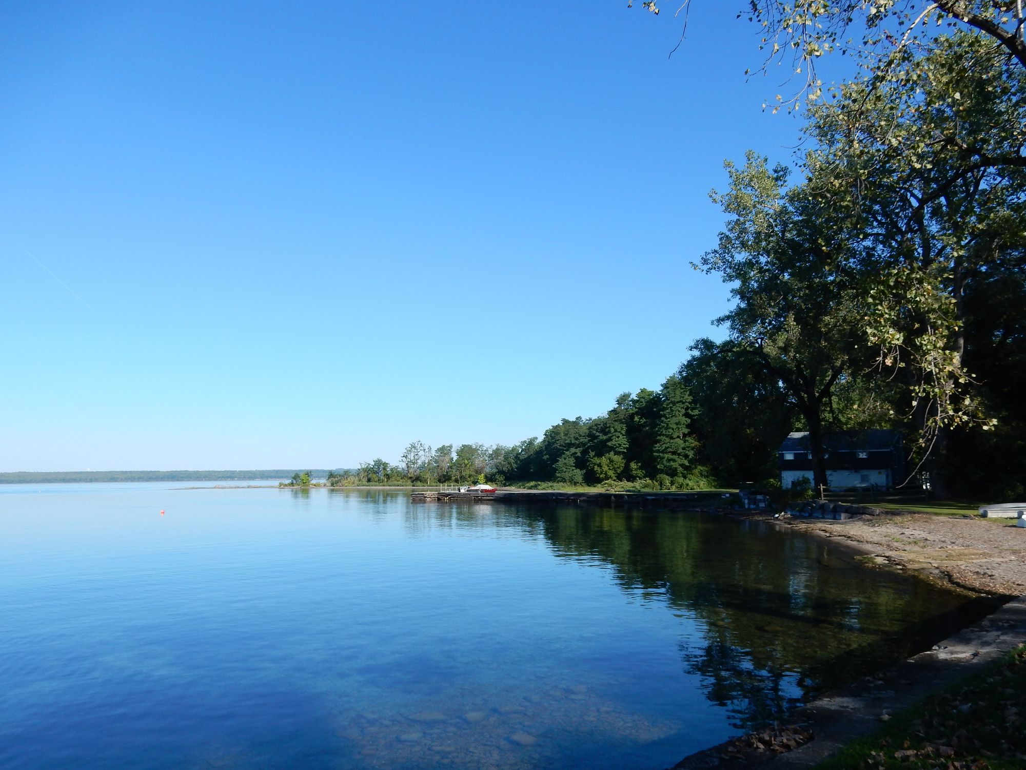
Seneca Lake
- Boat Ramps
- 12
- Access Points
- 16
- Campsites
- 18
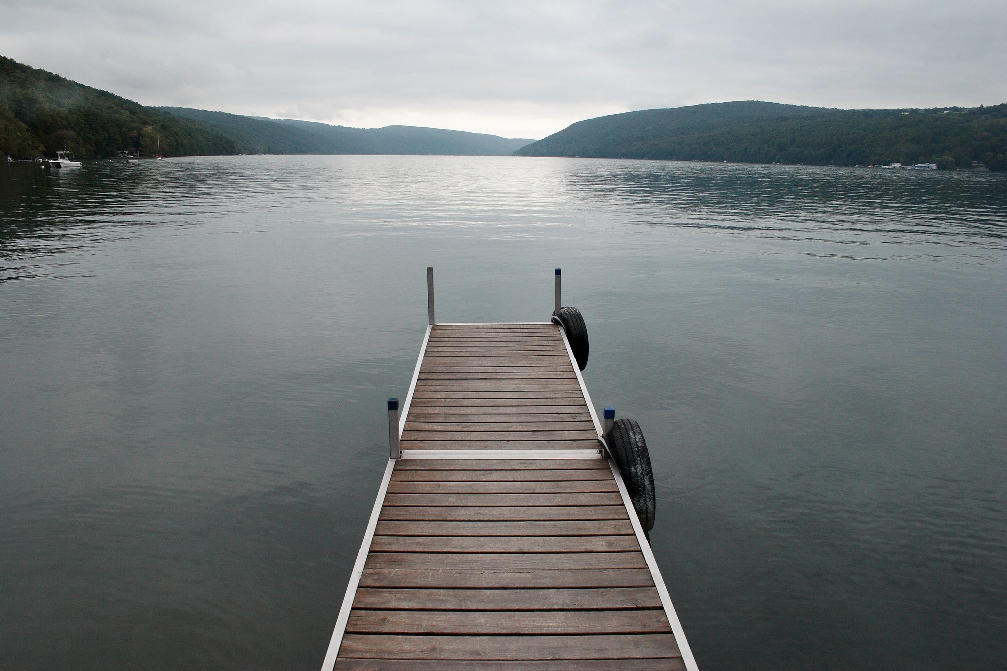
Seneca Lake, the largest of New York's Finger Lakes by volume, offers diverse paddling experiences. The lake stretches 38 miles from Geneva in the north to Watkins Glen in the south. With depths exceeding 600 feet, Seneca Lake's size can create challenging conditions for paddlers, including big waves from winds and powerboat activity.
Several access points are available for launching kayaks and canoes. The Geneva Waterfront Docks provide a kayak dock, ramp, and floating dock. Watkins Glen offers rentals and guided tours from outfitters like Summit to Stream Adventures. The Municipal Marina & Campgrounds in Montour Falls has an EZ Launch facility.
Paddlers should exercise caution, especially when crossing the open lake. The lake's depth keeps water temperatures cool year-round, rarely rising above 50°F (10°C) in spring. Proper safety equipment and weather awareness are essential.
Wildlife viewing opportunities abound, with bald eagles frequently spotted. The lake's eastern shore features Hector Falls, a 165-foot cascade best viewed from the water. Painted Rock, adorned with early 20th-century artwork, offers historical interest.
Seneca Lake's shores host numerous wineries, making it a popular destination for wine enthusiasts. The lake rarely freezes due to its depth and underground springs, allowing for extended paddling seasons. However, autumn through spring can bring challenging weather conditions.
Regulations require boats under 16 feet to carry U.S. Coast Guard-approved life jackets for each person on board. Some areas, like the salt refineries visible from the water, may have restricted access.
For a more sheltered paddling experience, consider exploring Catherine Creek Marsh at the lake's southern end. This wildlife management area offers opportunities to observe herons, ducks, and other waterfowl in a serene setting.
Water access, boat ramps & amenities
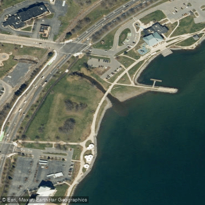
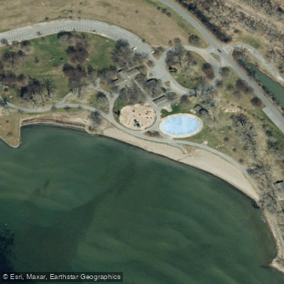
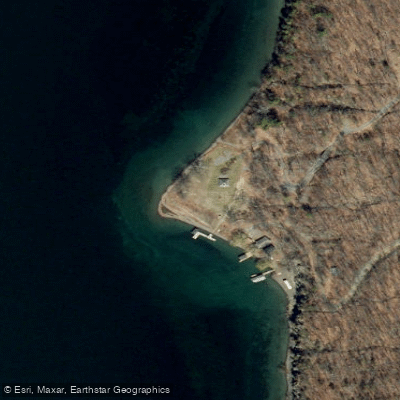
Learn how to get on Seneca Lake. Uncover great paddling access points, boat ramps, and all the facilities you need for an unforgettable day on the water. Some locations shown may border or include private property. Always check property boundaries and applicable regulations before visiting. PaddleWays's Public & Private Land layer can help you plan your access with confidence.
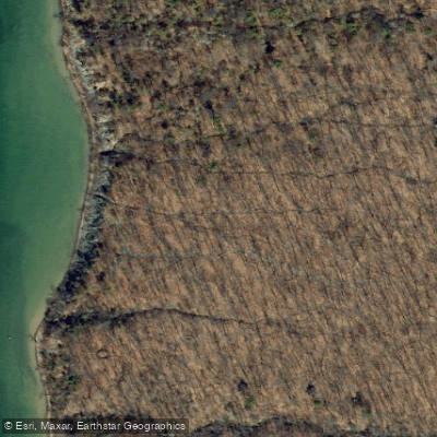
Paddle smarter with real-time insights
Whether you're en route and conditions shift or you're looking for the best spot based on current flows, we enable you to make informed decisions on the fly.








Find Places to Paddle

Over 400,000 Places to Paddle
Every user gets free access to launch points, boat ramps, and public property parcels.


Water and weather conditions (10 day forecast)
See the best times to paddle Seneca Lake and check the forecast before you go.
No forecast data available.
Paddling near Seneca Lake
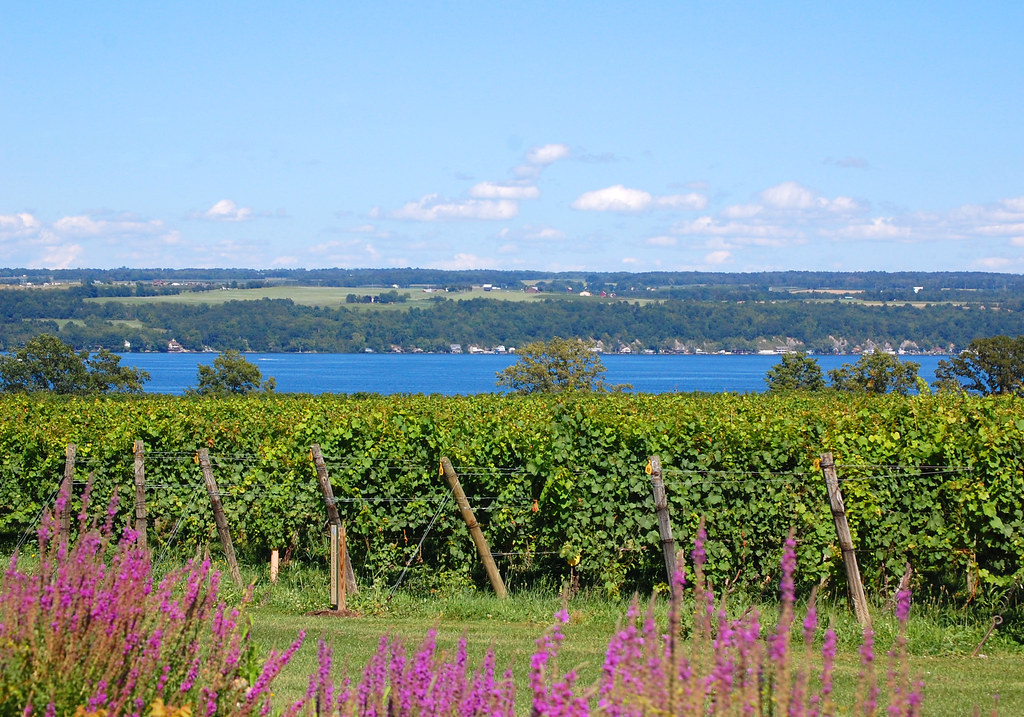
Cayuga Lake
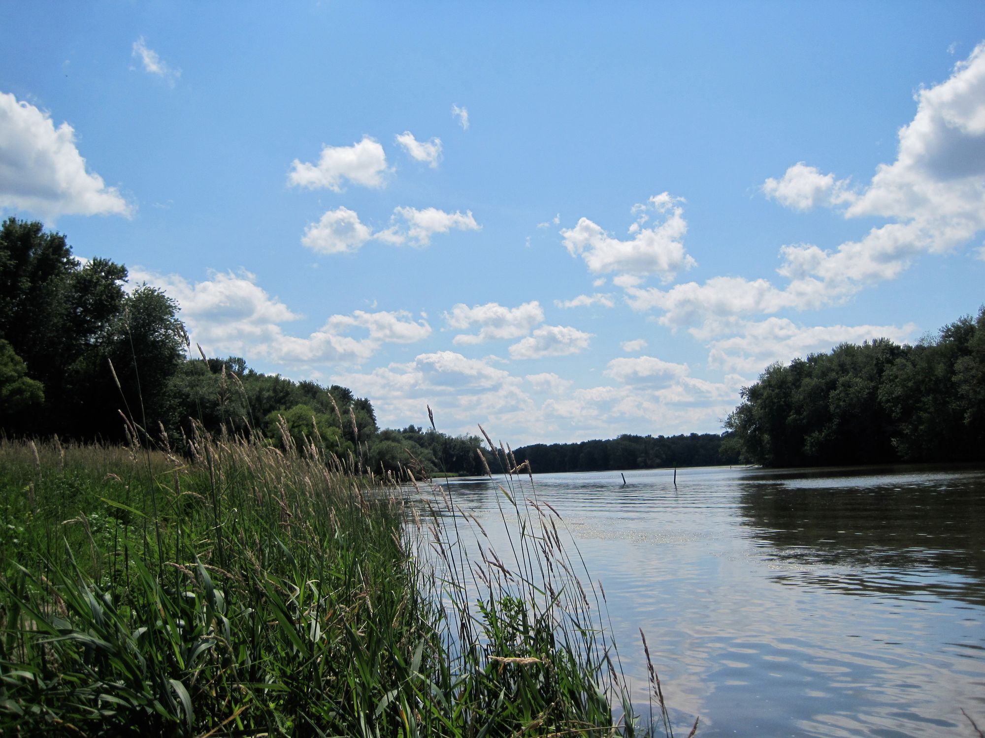
Seneca River
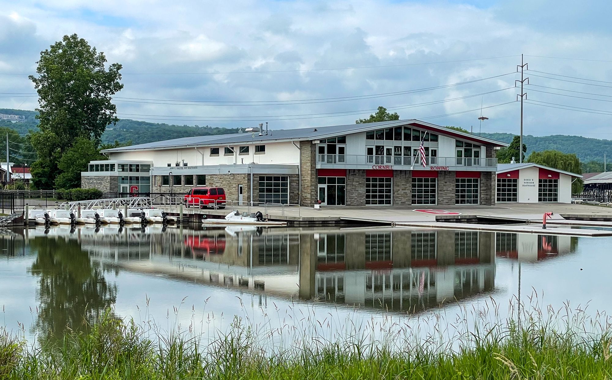
Cayuga Inlet

Susquehanna River
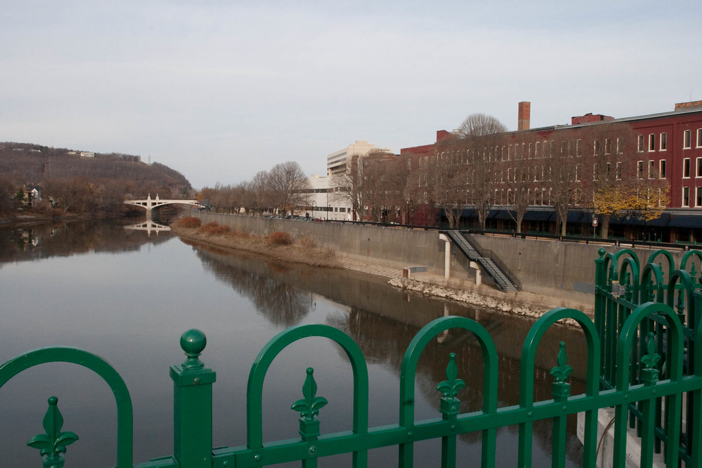
Chenango River
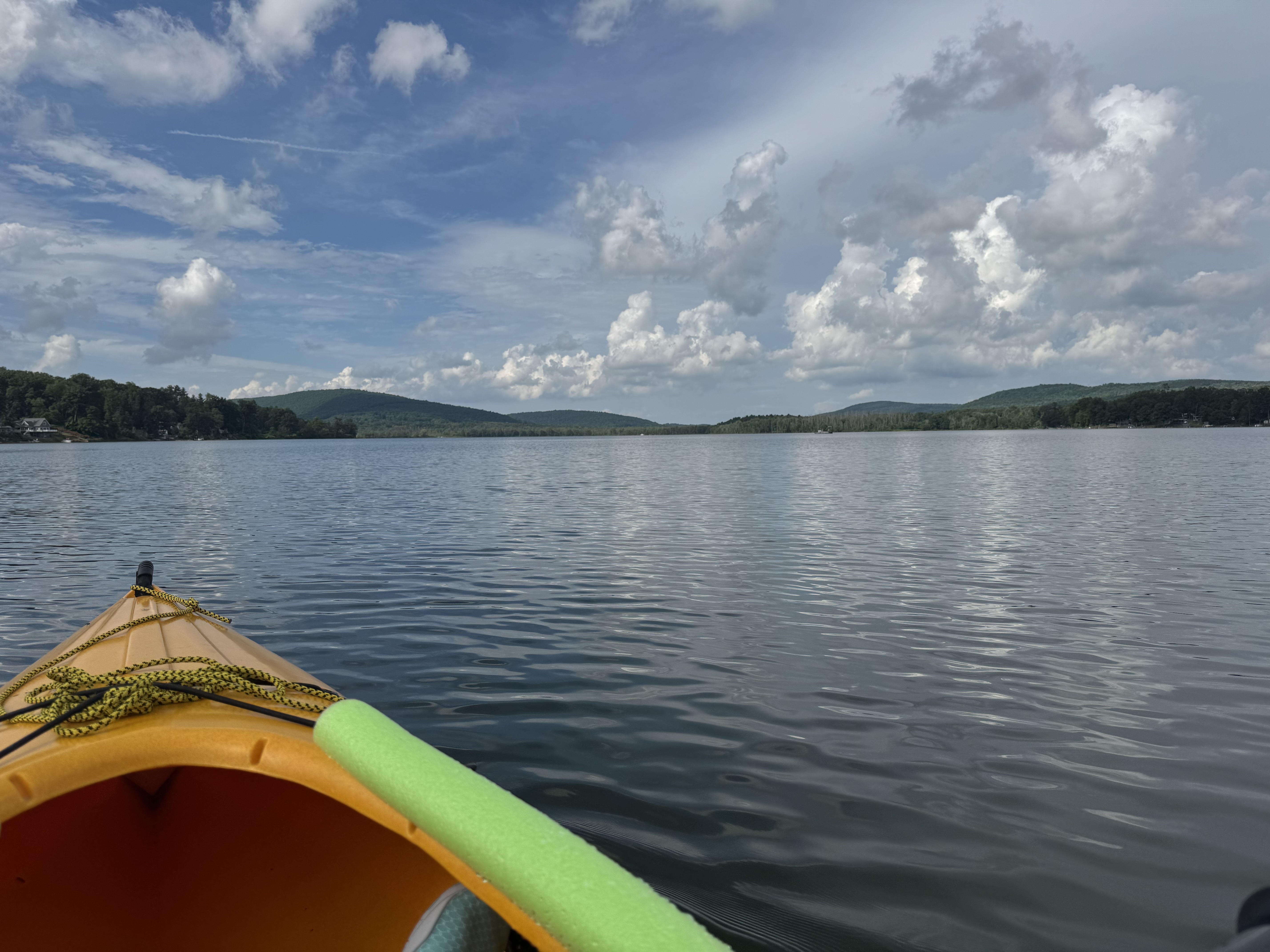
Cayuta Lake
Dryden Lake
Fall Creek
Skaneateles Lake
Explore New York waters
Top paddling waters
Popular Cities
Loading popular cities...
Explore near Seneca Lake
Access points
Nearby waters
More in New York

Smarter Paddling Starts in the App.
Paddleways gives you everything you need to plan smarter, paddle better, and own every trip from first launch to takeout.