Seneca River
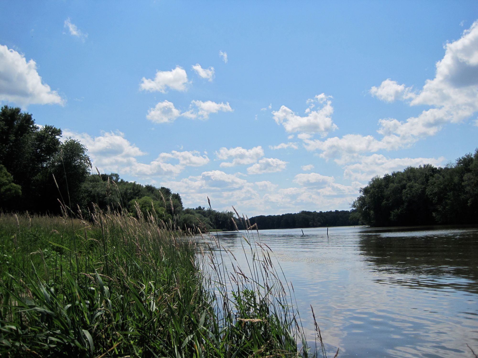
Seneca River
- Boat Ramps
- 10
- Access Points
- 12
- Campsites
- 17
The Seneca River is a significant waterway in central New York, originating at the northern end of Seneca Lake and flowing eastward for approximately 61 miles before joining the Oneida River to form the Oswego River. This river system is part of the larger Finger Lakes watershed, connecting several of the region's famous lakes. The Seneca River offers diverse paddling opportunities suitable for various skill levels. The river's course includes both natural sections and canalized portions, notably the Cayuga-Seneca Canal, which links Seneca Lake to Cayuga Lake and the Erie Canal system.
Paddlers can enjoy flatwater experiences ranging from short day trips to multi-day adventures. Popular paddling sections include the stretch from Baldwinsville to Onondaga Lake, the Cayuga-Seneca Canal route, and the Three Rivers Loop near the confluence with the Oswego River. The river's difficulty is generally rated as flatwater, making it accessible for beginners while still offering scenic experiences for more advanced paddlers. Spring and fall are ideal paddling seasons, with comfortable temperatures and higher water levels. Summer paddling is also popular but can see increased boat traffic, especially on weekends.
The river corridor supports diverse wildlife, including various waterfowl, fish species, and occasional sightings of beavers and muskrats. Paddlers can enjoy a mix of natural scenery and historical landmarks along the route. Key points of interest include the Women's Rights National Historical Park in Seneca Falls, the Montezuma National Wildlife Refuge near the eastern end, and several locks and dams that are part of the New York State Canal System. Major access points can be found in Baldwinsville, Seneca Falls, and near Three Rivers Point, with numerous other put-in locations along the river's course. The towns of Geneva, Waterloo, and Seneca Falls provide convenient bases for exploring different sections of the river.
The Seneca River played a crucial role in the development of central New York, serving as a transportation route for indigenous peoples and later for European settlers and industry. The river's modification into the Cayuga-Seneca Canal in the early 19th century further enhanced its importance to the region's economy and cultural development.
Paddlers should be aware of potential motorboat traffic, especially in canalized sections and near populated areas. It's essential to check water levels and weather conditions before embarking on a trip. Multi-day trips are possible by combining different sections of the river and connecting waterways, with opportunities for camping at designated sites along the New York State Canalway Water Trail.
Water access, boat ramps & amenities
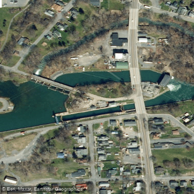
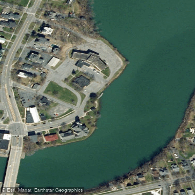
Learn how to get on Seneca River. Uncover great paddling access points, boat ramps, and all the facilities you need for an unforgettable day on the water. Some locations shown may border or include private property. Always check property boundaries and applicable regulations before visiting. PaddleWays's Public & Private Land layer can help you plan your access with confidence.
Paddle smarter with real-time insights
Whether you're en route and conditions shift or you're looking for the best spot based on current flows, we enable you to make informed decisions on the fly.








Find Places to Paddle

Over 400,000 Places to Paddle
Every user gets free access to launch points, boat ramps, and public property parcels.


Water and weather conditions (10 day forecast)
See the best times to paddle Seneca River and check the forecast before you go.
SENECA RIVER NEAR SENECA FALLS NY
All Flow Stations
Paddling near Seneca River
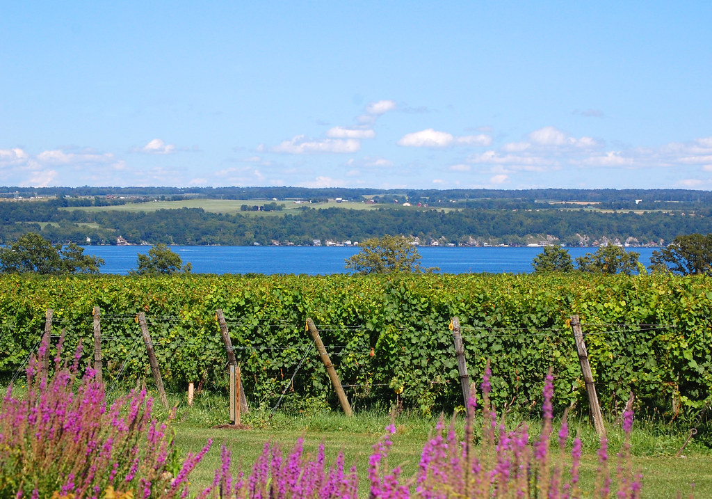
Cayuga Lake
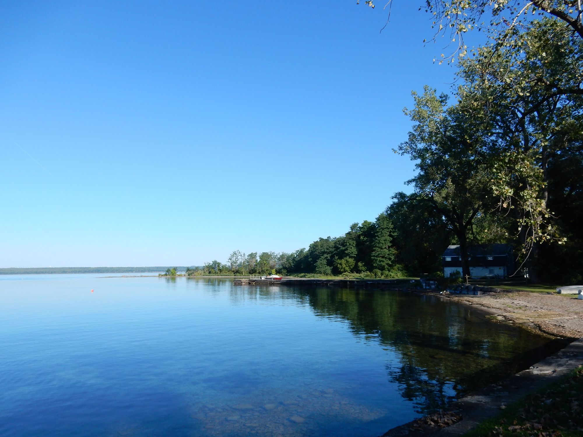
Seneca Lake
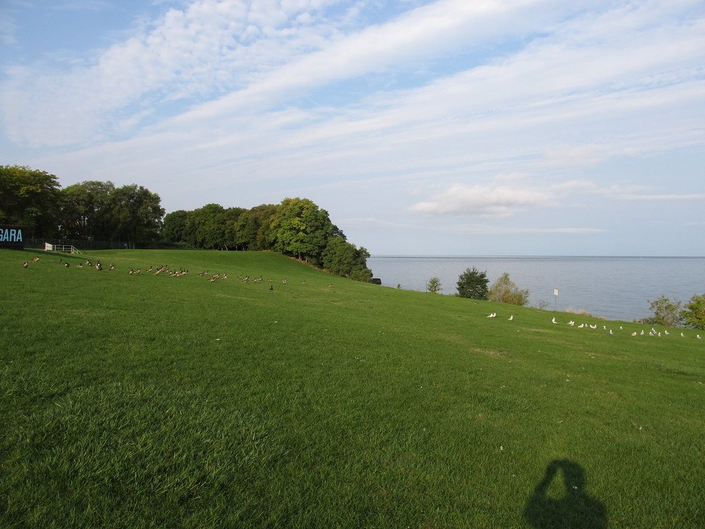
Lake Ontario
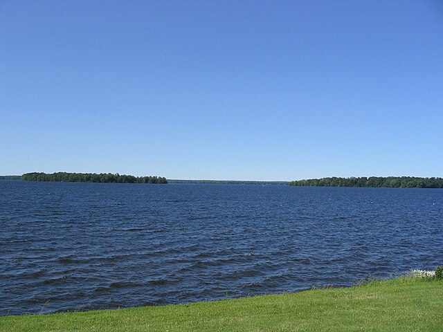
Oneida Lake
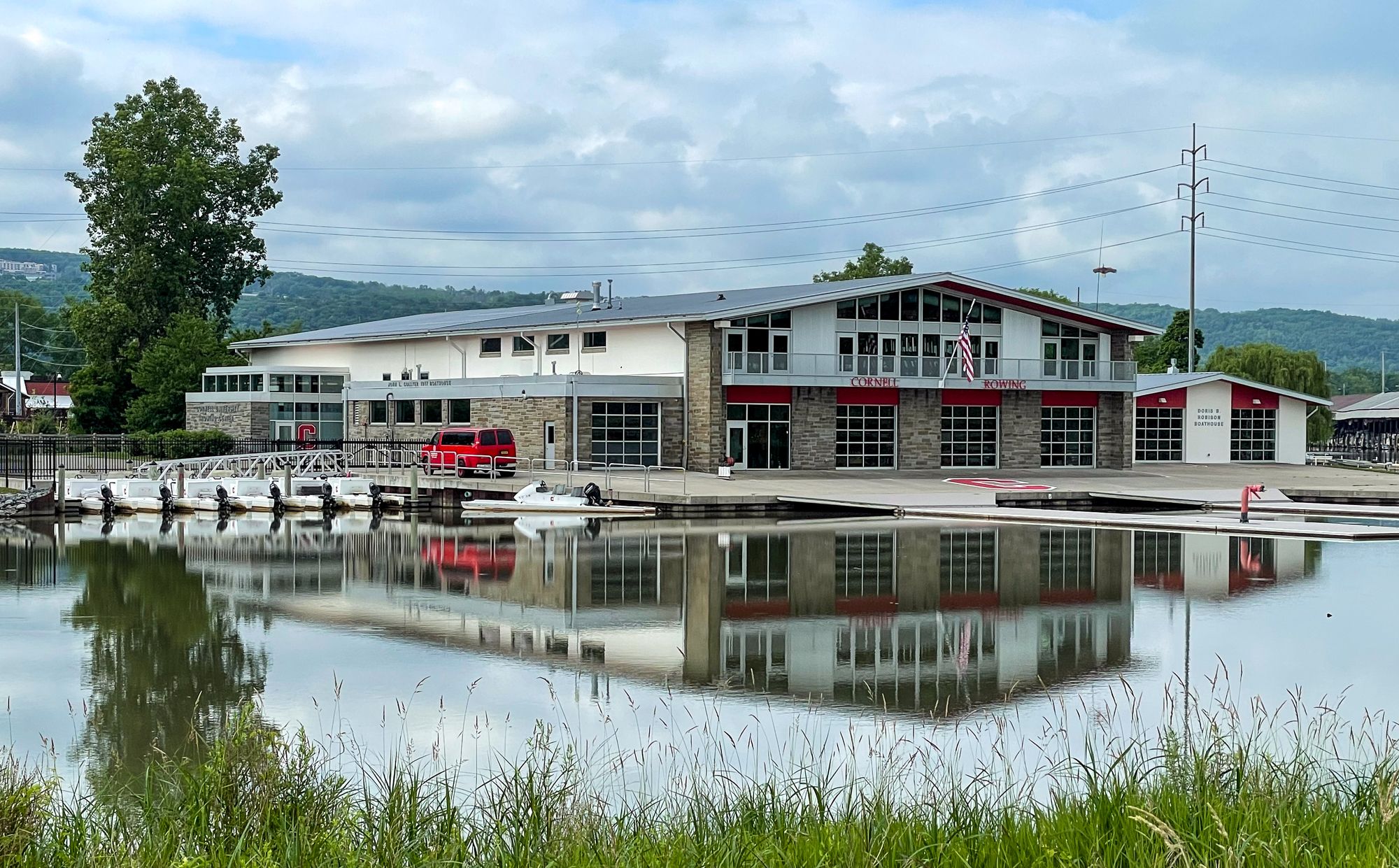
Cayuga Inlet
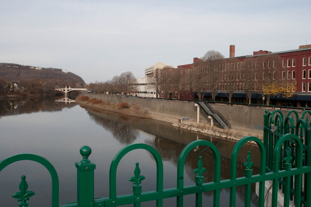
Chenango River
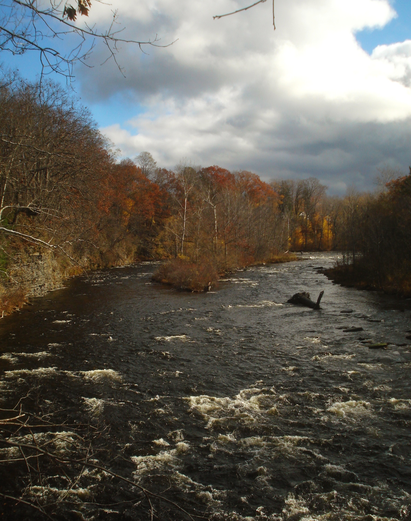
Salmon River
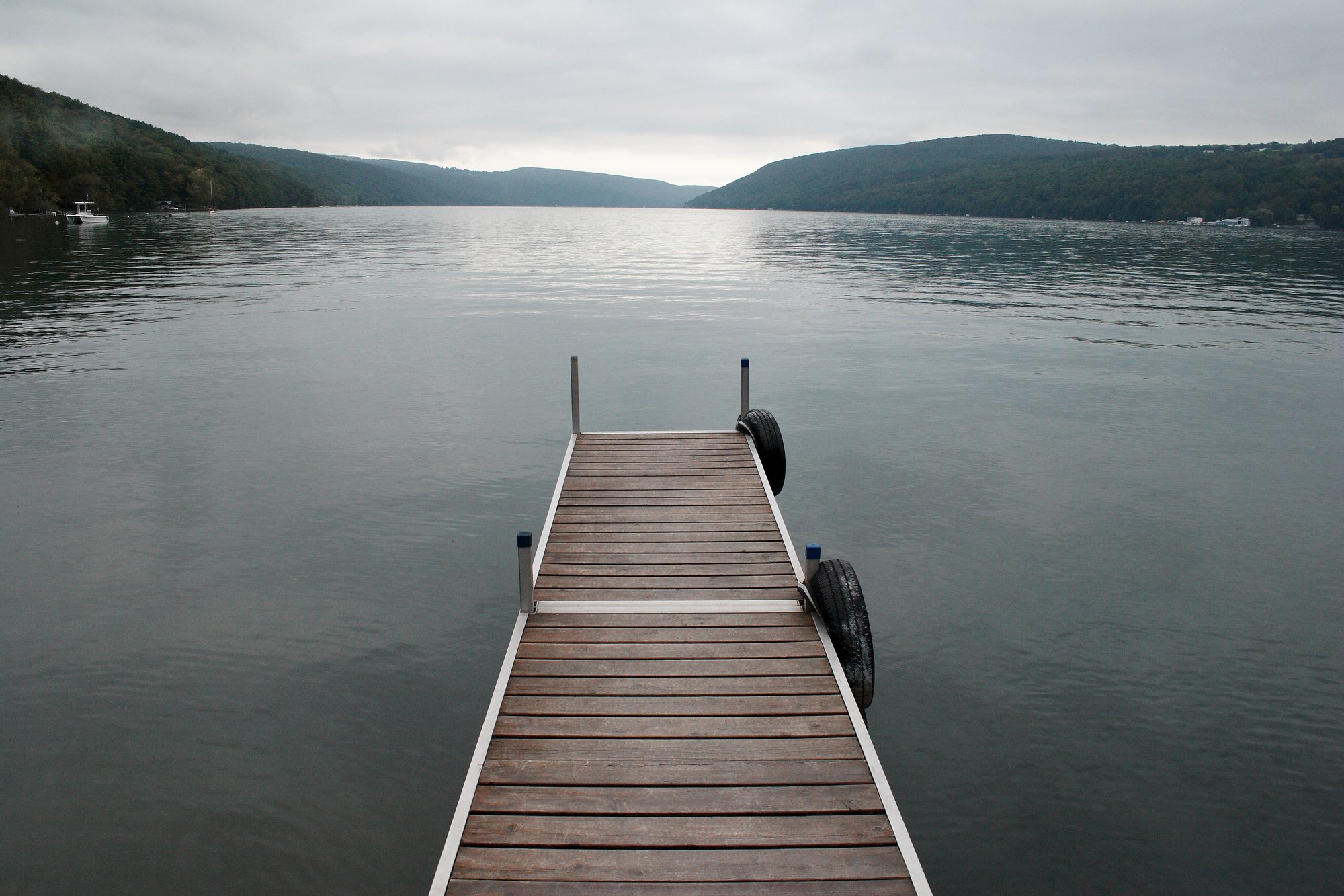
Skaneateles Lake
Owasco Lake
Explore New York waters
Top paddling waters
Popular Cities
Loading popular cities...
Explore near Seneca River
Access points
- Montezuma National Wildlife Refuge Boat Ramp
- Cayuga Seneca Canal Boat Ramp
- Cayuga Lake Seneca River Boat Ramp
- Baldwinsville Community Park Boat Ramp
- Cayuga Seneca Canal Boat Ramp
- Seneca River Boat Ramp
- Oak Island Boat Ramp
- Seneca River Boat Ramp
- Seneca River Boat Ramp
- Seneca River Boat Ramp
- Memorial Day Park
- Suffrage Park Access
- All 157 spots
Nearby waters
More in New York

Smarter Paddling Starts in the App.
Paddleways gives you everything you need to plan smarter, paddle better, and own every trip from first launch to takeout.