Cayuga Inlet
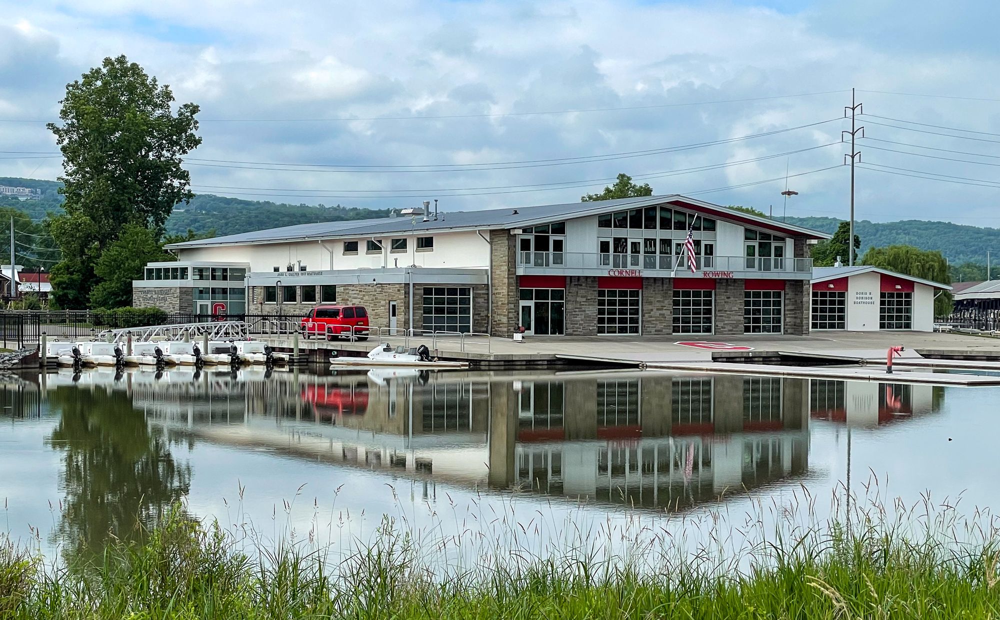
Cayuga Inlet
- Boat Ramps
- 1
- Access Points
- 3
- Campsites
- 4
The Cayuga Inlet is a short river located in Tompkins County, New York that flows northward into the southern end of Cayuga Lake at Ithaca. It is fed by several tributaries including Six Mile Creek and Cascadilla Creek as it winds through the city of Ithaca. The inlet forms part of the Cayuga Lake watershed within the larger Finger Lakes region.
Paddling opportunities on the Cayuga Inlet are primarily flatwater, making it ideal for beginners and families. Popular routes include the 2-mile Cass Park to Cayuga Inlet Loop and the 6-mile Cass Park to East Shore Park Loop which extends out onto Cayuga Lake. The main channel from Stewart Park to Cass Park offers an easy 2-mile one-way trip with urban and natural scenery. The inlet can be paddled year-round but is most enjoyable from late spring through early fall when temperatures are milder. Water levels remain fairly consistent due to flood control measures.
Paddlers may encounter various waterfowl and fish species native to the Finger Lakes ecosystem. Key landmarks include the Cayuga Inlet lighthouse and breakwaters near the mouth of the inlet, Allan H. Treman State Marine Park, and the marshes of Hog's Hole along the western shore of Cayuga Lake. The urban waterfront of Ithaca provides an interesting backdrop with restaurants and parks.
Primary access points are located at Stewart Park, Cass Park, and the Ithaca Farmers Market, all within the city of Ithaca. These offer parking and easy put-in locations for kayaks, canoes, and stand-up paddleboards.
Historically, the inlet served as an important transportation route connecting Ithaca to the Erie Canal system via Cayuga Lake and the Cayuga-Seneca Canal. Today it remains a focal point for recreation and connects the city to the larger Finger Lakes waterways.
Paddlers should be aware of boat traffic, especially near the marina areas. Life jackets are required by law. The inlet is part of the newly developed Cayuga Lake Blueway Trail, which provides maps and information for paddlers exploring the full length of Cayuga Lake. For those seeking a longer adventure, multi-day trips can be planned to explore more of Cayuga Lake, with the inlet serving as a starting point for journeys north along either shoreline of the lake.
Water access, boat ramps & amenities
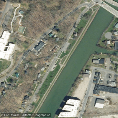
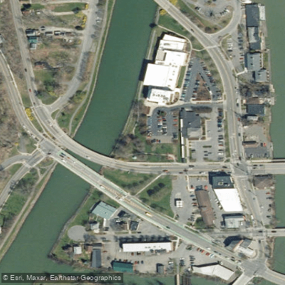
Learn how to get on Cayuga Inlet. Uncover great paddling access points, boat ramps, and all the facilities you need for an unforgettable day on the water. Some locations shown may border or include private property. Always check property boundaries and applicable regulations before visiting. PaddleWays's Public & Private Land layer can help you plan your access with confidence.
Paddle smarter with real-time insights
Whether you're en route and conditions shift or you're looking for the best spot based on current flows, we enable you to make informed decisions on the fly.








Find Places to Paddle

Over 400,000 Places to Paddle
Every user gets free access to launch points, boat ramps, and public property parcels.


Water and weather conditions (10 day forecast)
See the best times to paddle Cayuga Inlet and check the forecast before you go.
CAYUGA INLET AT ITHACA NY
Paddling near Cayuga Inlet

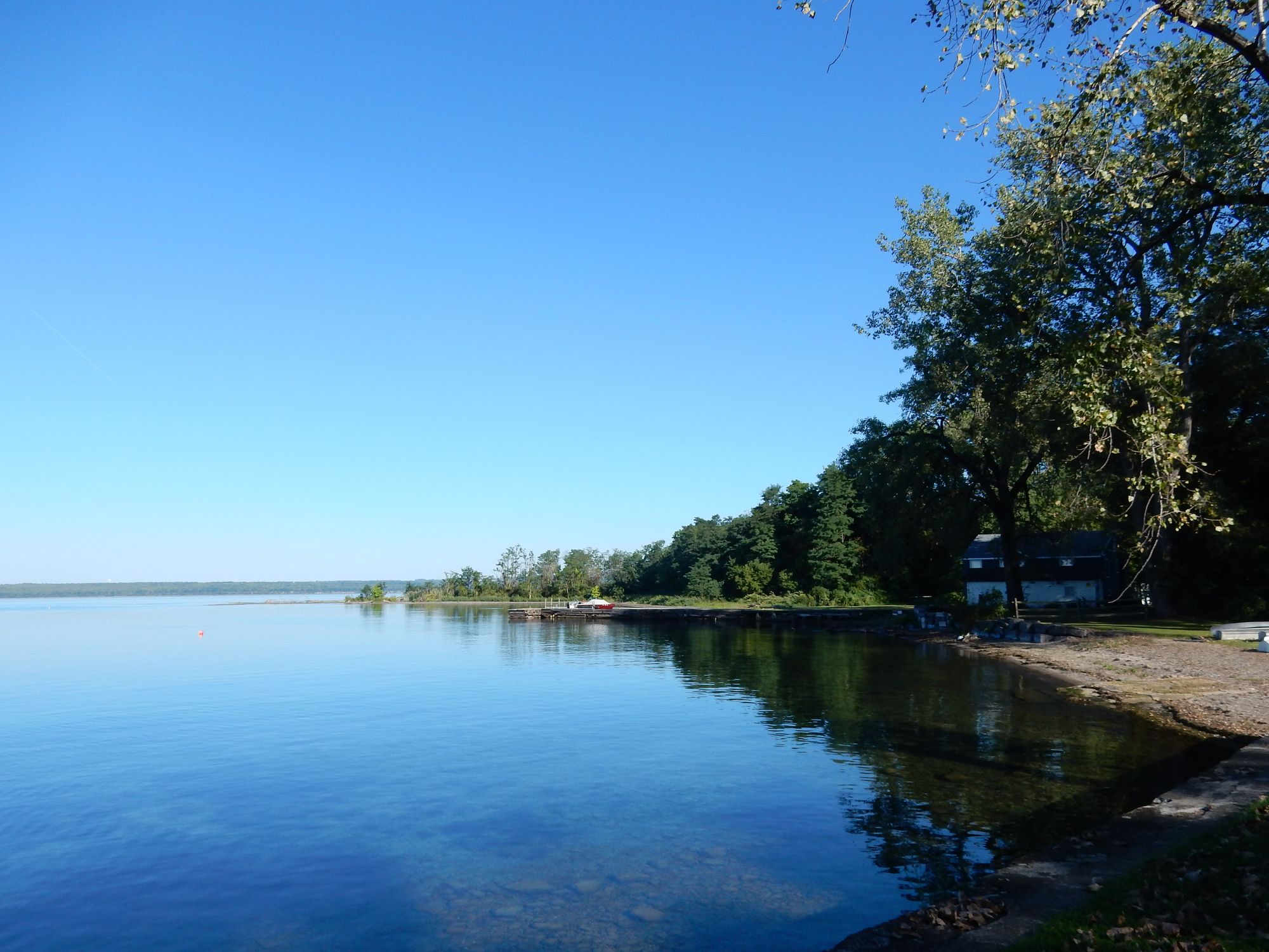
Cayuga Lake
Seneca Lake
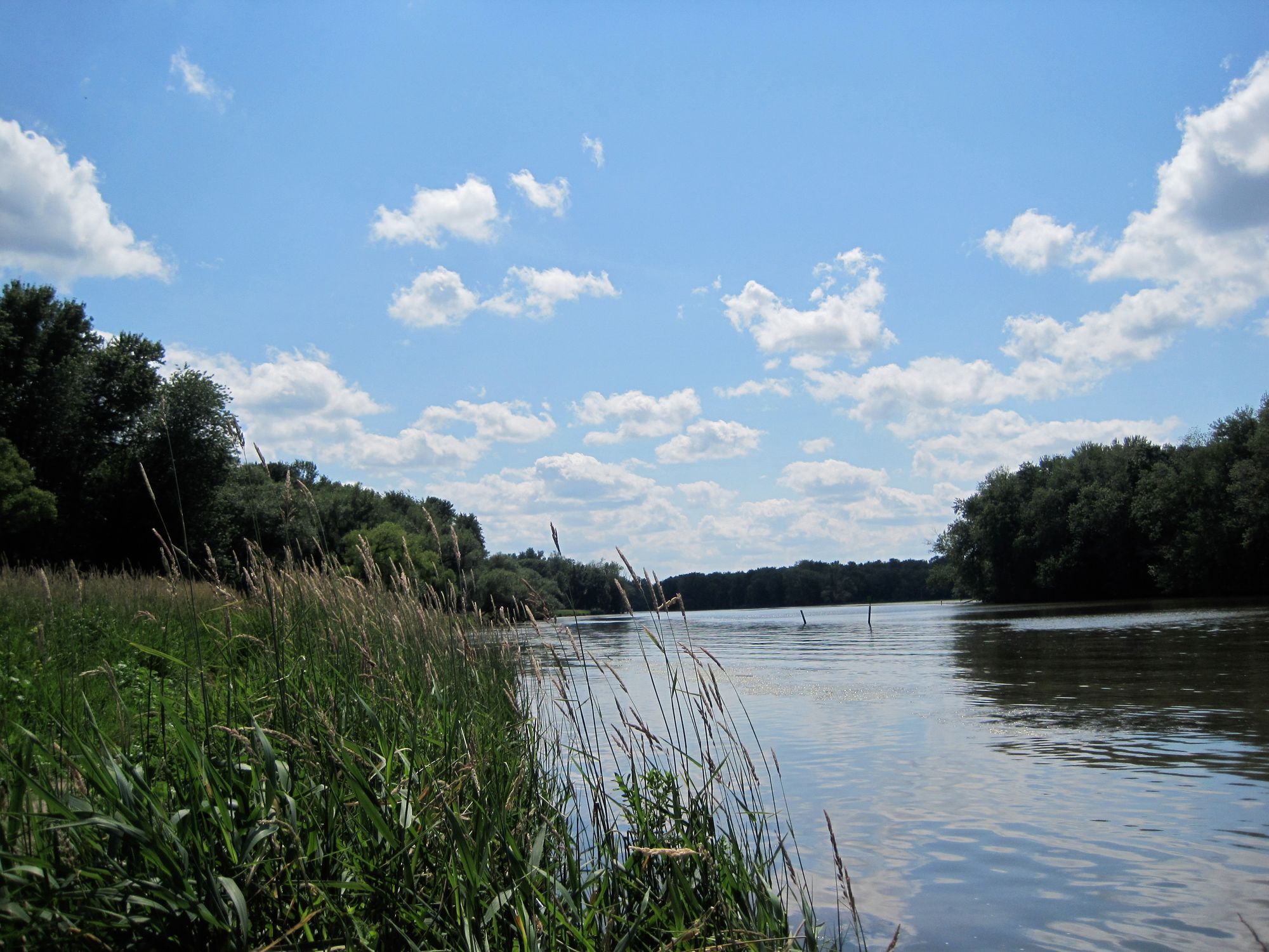
Seneca River

Susquehanna River
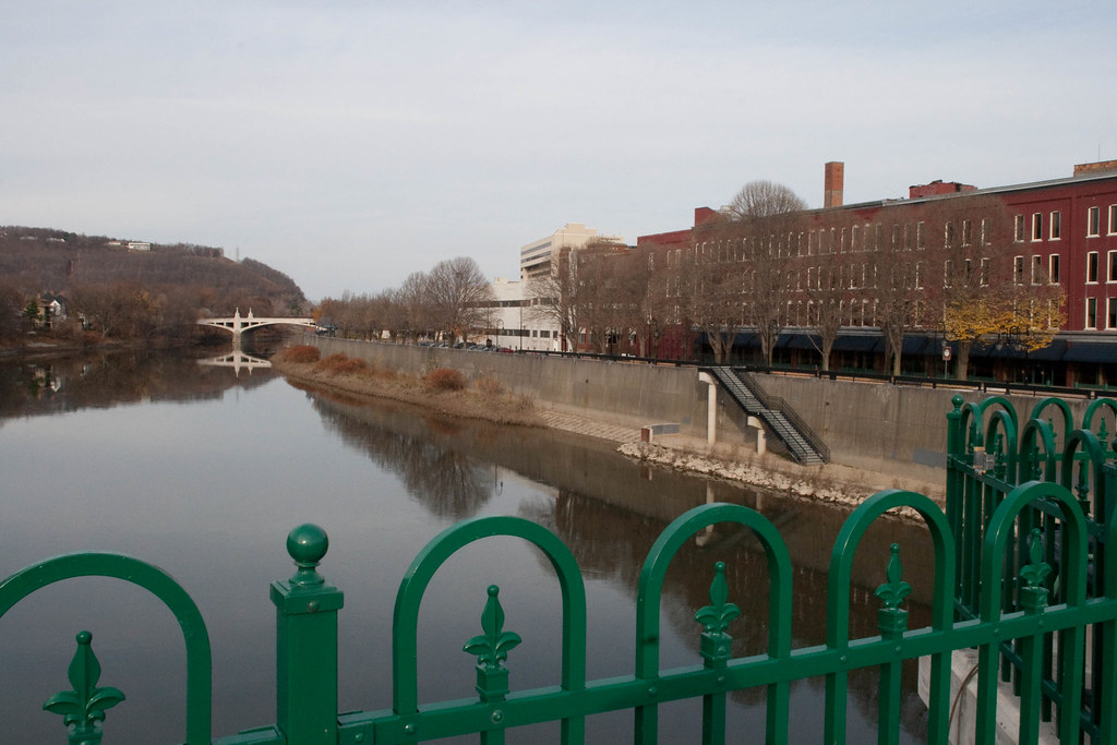
Chenango River
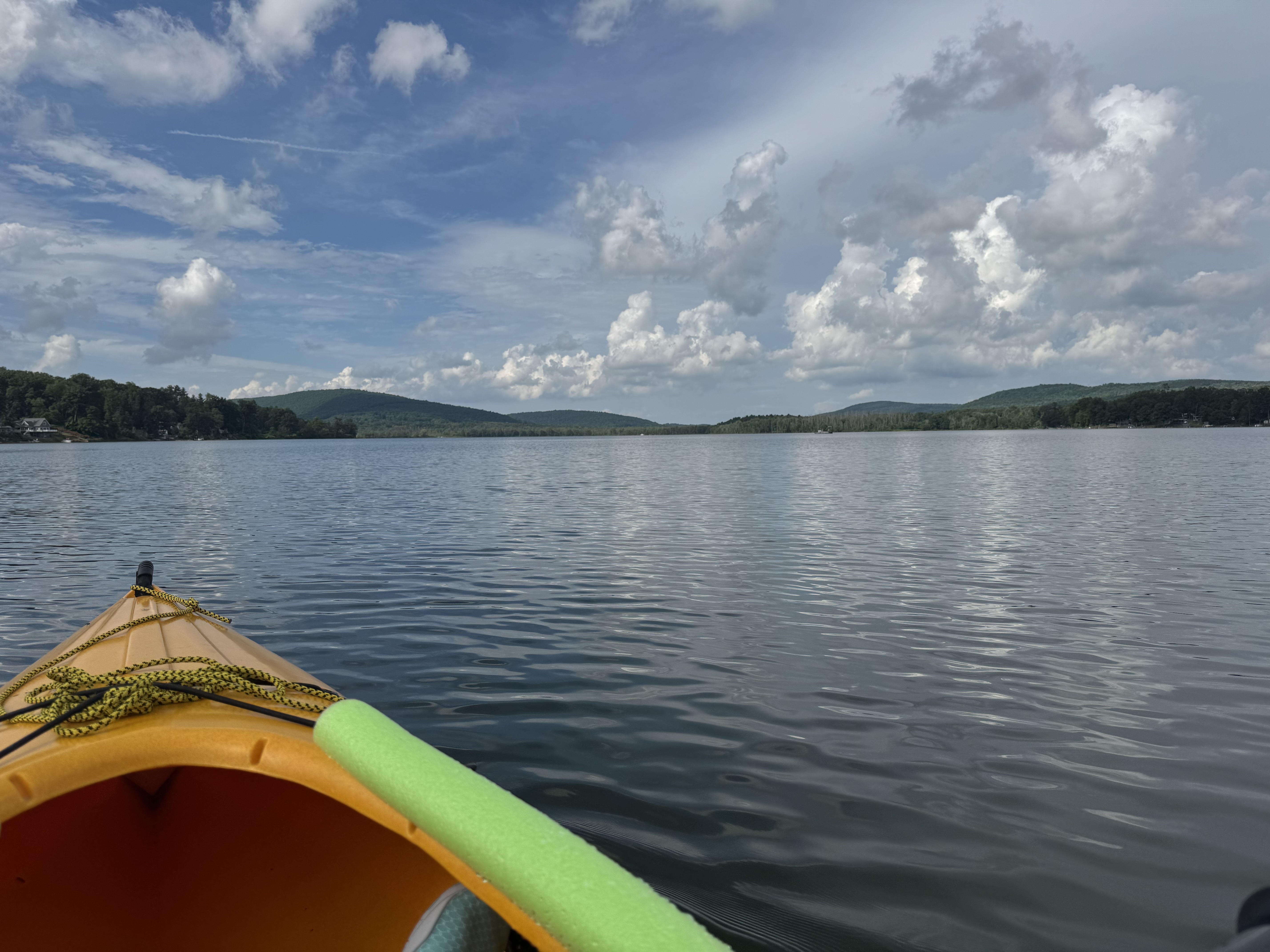
Cayuta Lake
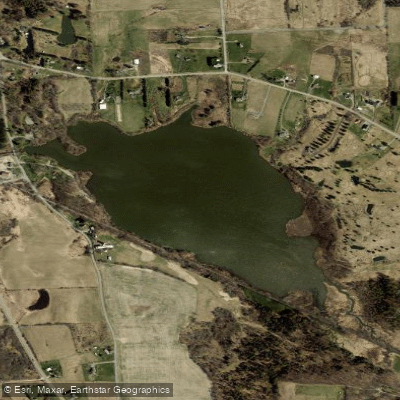
Dryden Lake
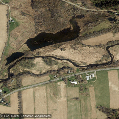
Fall Creek
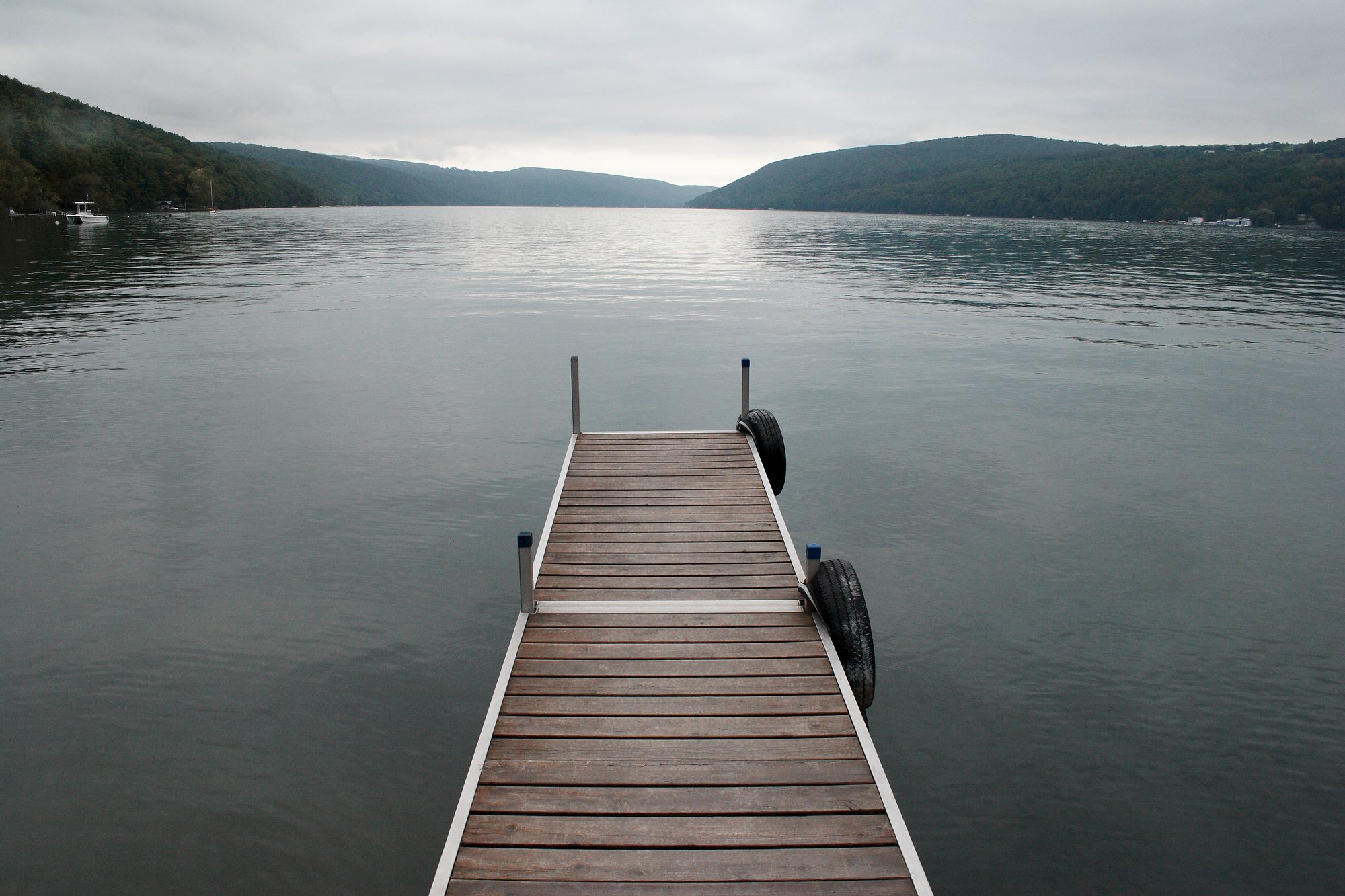
Skaneateles Lake
Explore New York waters
Top paddling waters
Popular Cities
Loading popular cities...
Explore near Cayuga Inlet
Access points
Nearby waters
More in New York

Smarter Paddling Starts in the App.
Paddleways gives you everything you need to plan smarter, paddle better, and own every trip from first launch to takeout.