Kings Mountain Reservoir
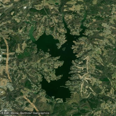
Kings Mountain Reservoir
- Boat Ramps
- 0
- Access Points
- 0
- Campsites
- 0
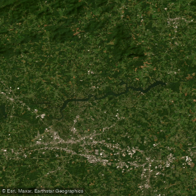
Kings Mountain Reservoir, also known as Moss Lake or John H. Moss Reservoir, is a 1,280 to 1,600-acre impoundment of Buffalo Creek in Cleveland County, North Carolina. Created in 1974 to provide water for local communities, the lake has 57 miles of shoreline and offers several recreation sites and boat ramps for paddlers to access the water.
The reservoir allows swimming, though there are no designated beach areas. Most visitors swim from their boats in summer. Paddlers can enjoy exploring the lake's numerous coves and inlets. The wooded shoreline provides scenic views and opportunities to spot wildlife.
Fishing is popular on Kings Mountain Reservoir. Anglers can expect to find largemouth bass, striped bass, spotted bass, white bass, crappie, catfish, and carp. The lake's varied fish population adds interest for paddlers who may spot fish activity.
A campground is available at John H. Moss Lake City Camp Ground, located right on the lakeshore. This provides an option for paddlers looking to spend multiple days exploring the reservoir.
While motorized boats are allowed on the lake, the overall character tends to be peaceful. The lake's size allows paddlers to find quieter areas away from other boat traffic. Early mornings or weekdays may offer the calmest conditions for paddling.
Paddlers should be aware that conditions on the lake can change quickly. It's advisable to check weather forecasts and be prepared for wind or storms. As with any large body of water, wearing a personal flotation device is essential for safety.
The lake's proximity to Kings Mountain State Park and Crowders Mountain State Park provides opportunities to combine paddling with hiking or other outdoor activities in the area. The nearby Kings Branch offers a 2-mile whitewater run for more adventurous paddlers, though conditions should be checked before attempting.
Water access, boat ramps & amenities
Learn how to get on Kings Mountain Reservoir. Uncover great paddling access points, boat ramps, and all the facilities you need for an unforgettable day on the water. Some locations shown may border or include private property. Always check property boundaries and applicable regulations before visiting. PaddleWays's Public & Private Land layer can help you plan your access with confidence.
Paddle smarter with real-time insights
Whether you're en route and conditions shift or you're looking for the best spot based on current flows, we enable you to make informed decisions on the fly.








Find Places to Paddle

Over 400,000 Places to Paddle
Every user gets free access to launch points, boat ramps, and public property parcels.


Water and weather conditions (10 day forecast)
See the best times to paddle Kings Mountain Reservoir and check the forecast before you go.
BUFFALO CREEK BL MOSS LAKE DAM NR OAK GROVE, NC
Paddling near Kings Mountain Reservoir

Broad River
Lake Norman
Catawba River
Yadkin River
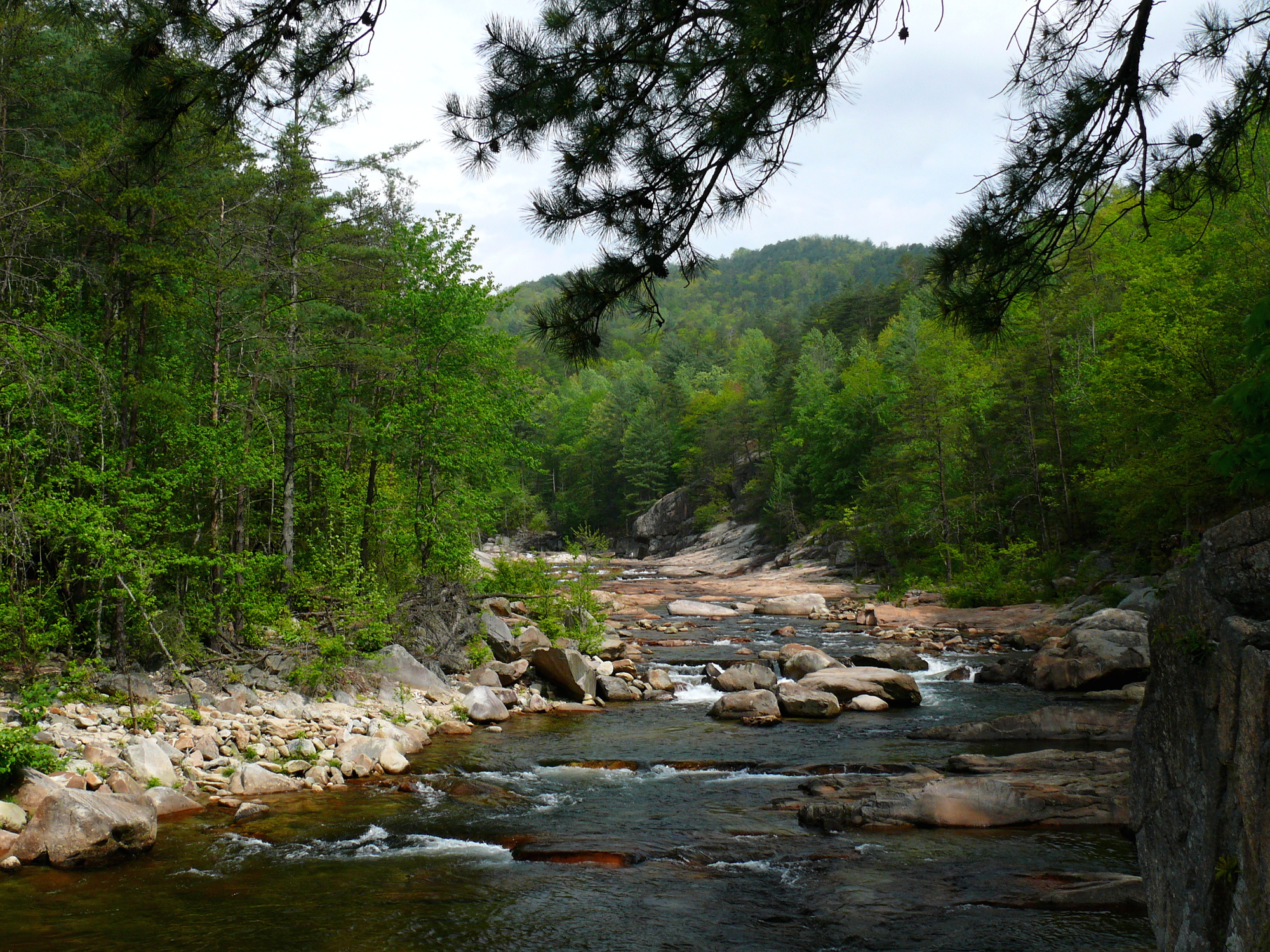
Wilson Creek
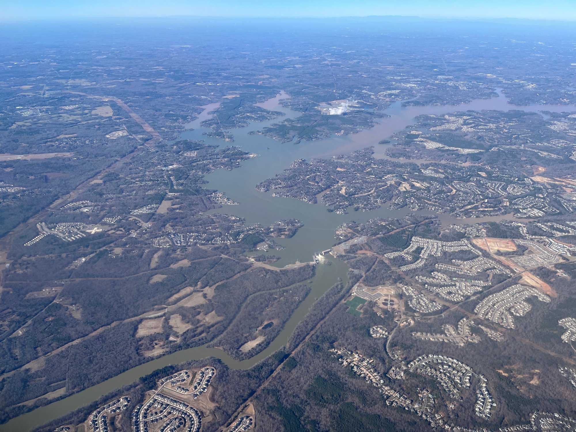
Lake Wylie
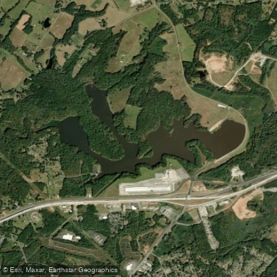
Lake Whelchel
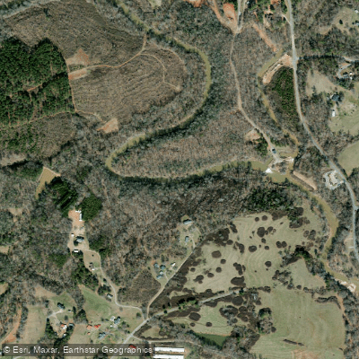
First Broad River
Lake Hickory
Explore North Carolina waters
Top paddling waters
Popular Cities
Loading popular cities...
Explore near Kings Mountain Reservoir
Access points
Nearby waters
More in North Carolina

Smarter Paddling Starts in the App.
Paddleways gives you everything you need to plan smarter, paddle better, and own every trip from first launch to takeout.