Lake of the Falls
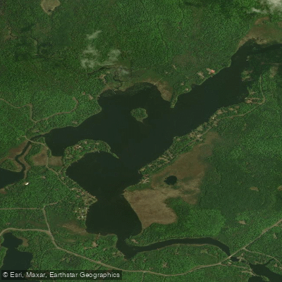
Lake of the Falls
- Boat Ramps
- 0
- Access Points
- 0
- Campsites
- 1
Lake of the Falls is a 297-acre lake in Iron County, Wisconsin, characterized by moderately clear water and a maximum depth of 23 feet. The lake connects to the Turtle River and Turtle-Flambeau Flowage, offering paddlers multiple waterway options.
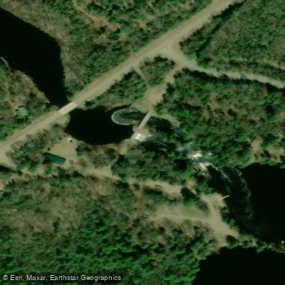
A public boat launch at Lake of the Falls County Park provides year-round access. The park is located at 4720W County Park Rd in Mercer, approximately 5 miles west of Highway 51 on County Road FF. The park features a scenic 10-foot waterfall where the lake flows into the Turtle River, creating a notable landmark for paddlers.
The park offers several amenities useful for paddlers, including: - Boat launch ramp - Picnic areas with pavilion - Restroom facilities - Drinking water - Parking area
Wildlife viewing opportunities include various fish species such as musky, panfish, largemouth bass, smallmouth bass, northern pike, and walleye.
The lake is part of a larger water system connecting to the Turtle-Flambeau Flowage, which is known for its wilderness character and extensive paddling opportunities. For those planning multi-day trips, Lake of the Falls County Park offers camping facilities with 32 sites spread across three separate camping areas.
Three distinct camping areas provide options for paddlers wanting to stay overnight: - Side 1: Electrical sites, pavilion, pit toilets, water, and boat ramp - Side 2: Lakeside sites (non-electric), pit toilet, water - Side 3: Electrical sites, flush toilets, showers, dump station, potable water
The park and campground operate seasonally from approximately May 1 through October 15, though the boat ramp remains accessible year-round.
Water access, boat ramps & amenities
Learn how to get on Lake of the Falls. Uncover great paddling access points, boat ramps, and all the facilities you need for an unforgettable day on the water. Some locations shown may border or include private property. Always check property boundaries and applicable regulations before visiting. PaddleWays's Public & Private Land layer can help you plan your access with confidence.
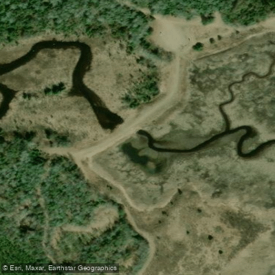
Paddle smarter with real-time insights
Whether you're en route and conditions shift or you're looking for the best spot based on current flows, we enable you to make informed decisions on the fly.








Find Places to Paddle

Over 400,000 Places to Paddle
Every user gets free access to launch points, boat ramps, and public property parcels.


Water and weather conditions (10 day forecast)
See the best times to paddle Lake of the Falls and check the forecast before you go.
No forecast data available.
Paddling near Lake of the Falls
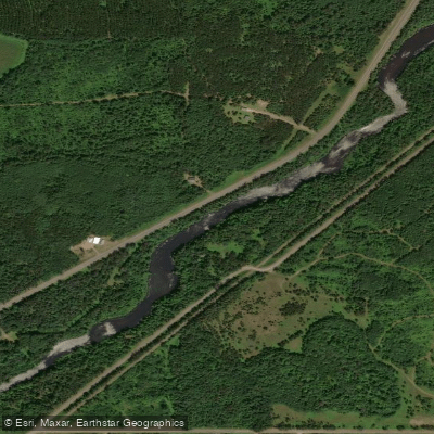
Namekagon River
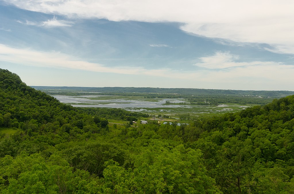
Chippewa River

Lake Superior
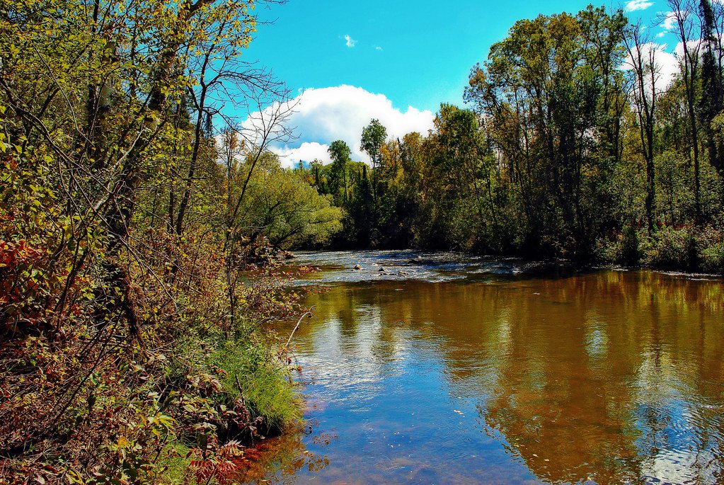
Bois Brule River
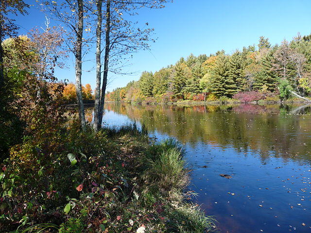
Flambeau River
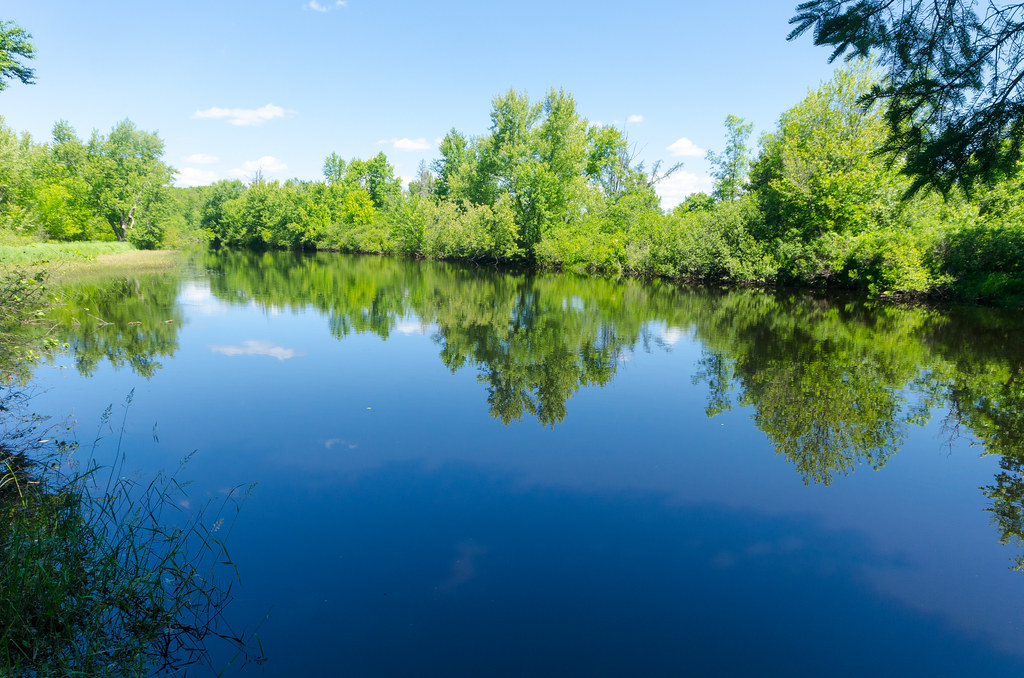
East Fork Chippewa River
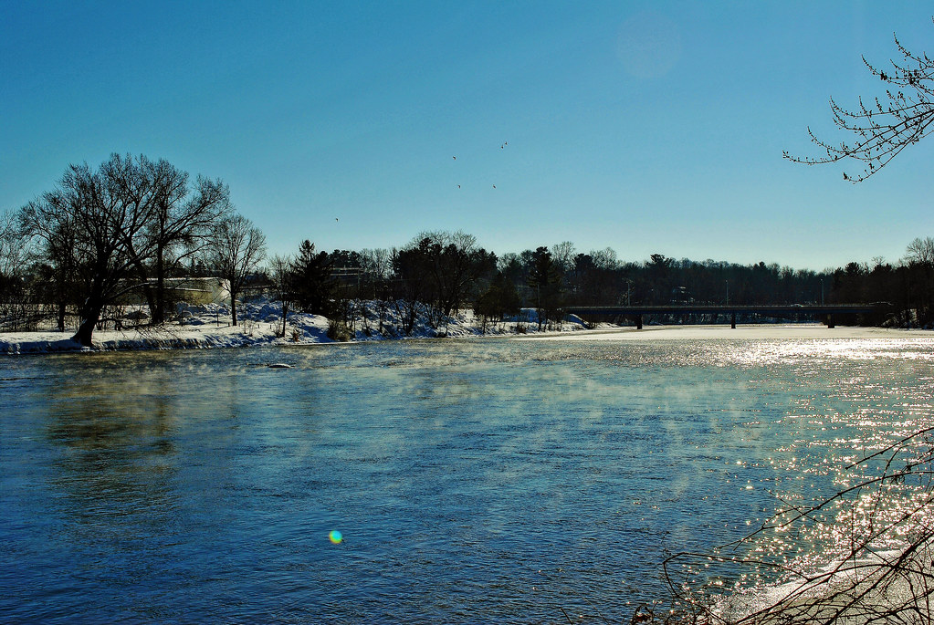
Red Cedar River
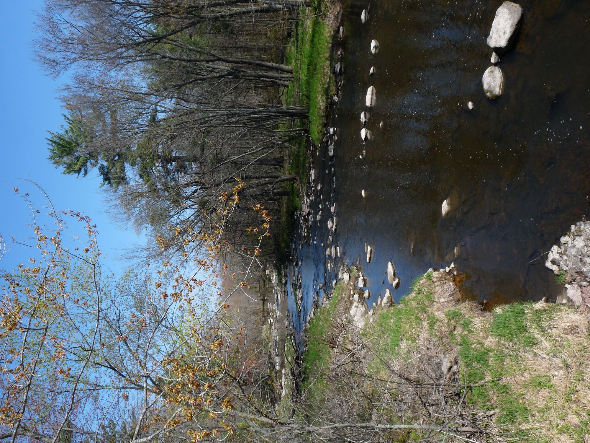
Yellow River
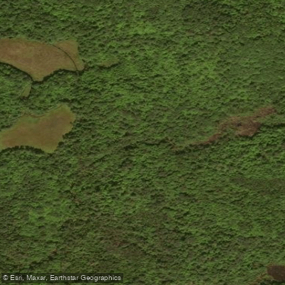
Long Lake Branch
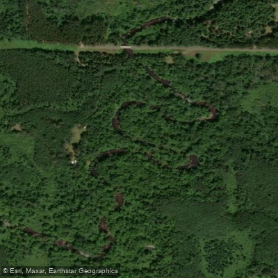
Totagatic River
Explore Wisconsin waters
Top paddling waters
Popular Cities
Loading popular cities...
Explore near Lake of the Falls

Smarter Paddling Starts in the App.
Paddleways gives you everything you need to plan smarter, paddle better, and own every trip from first launch to takeout.