Chatuge Lake
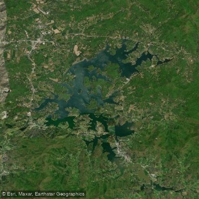
Chatuge Lake
- Boat Ramps
- 11
- Access Points
- 17
- Campsites
- 8
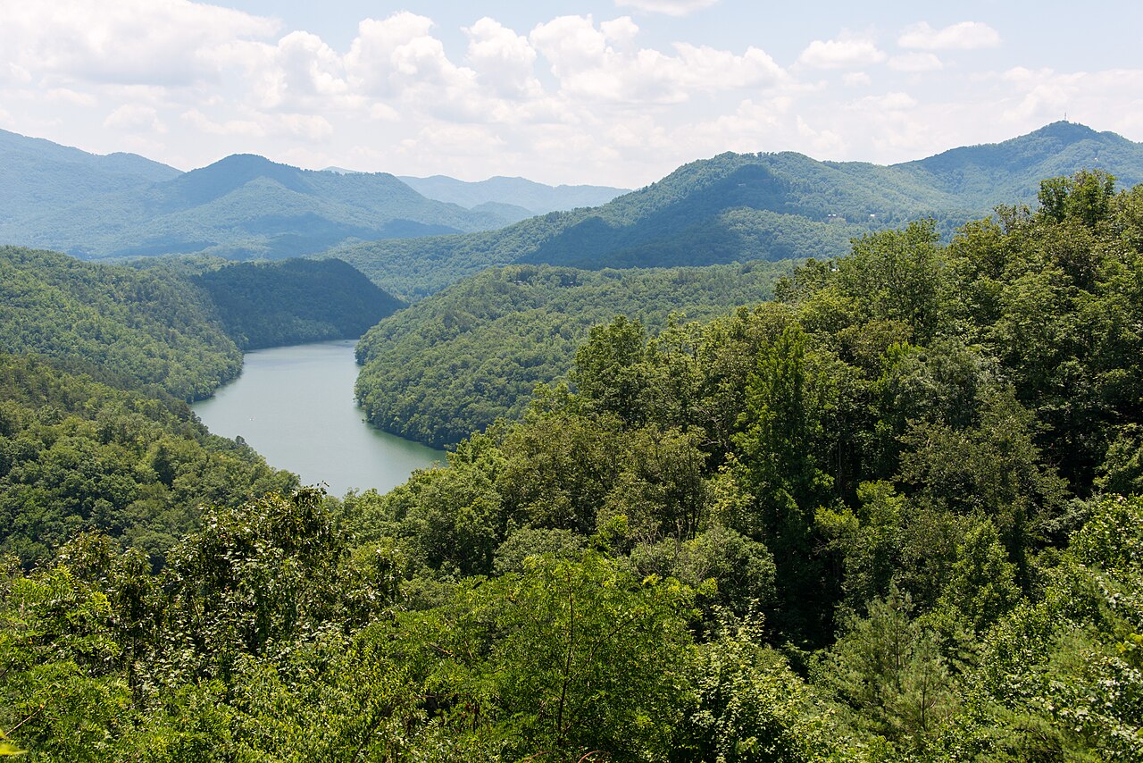
Lake Chatuge spans 7,200 acres across the Georgia-North Carolina border, offering paddlers 130 miles of shoreline to explore. The lake's crystal clear waters reflect stunning views of the surrounding Tusquitee and Blue Ridge Mountains. With an average depth of 30 feet and a maximum depth of 144 feet, Chatuge provides ample room for paddling adventures.
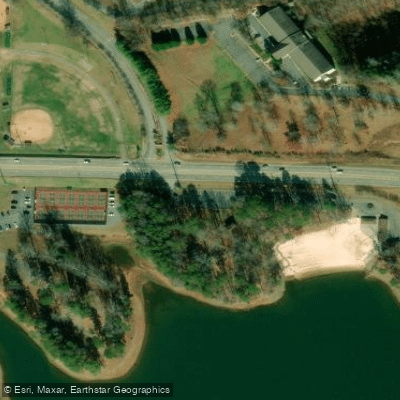
Several public boat ramps and marinas provide access points for launching kayaks and canoes. The Towns County Recreational Beach is a popular spot for putting in or taking a break. Paddlers can explore hidden coves and islands along the meandering shoreline, with about 75% of the lakeshore protected from development.
The lake is home to 32 fish species, including bass, crappie, and catfish. Wildlife enthusiasts may spot various birds and animals along the undeveloped shoreline. Water levels can fluctuate up to 9 feet annually, so paddlers should be aware of changing conditions.
For a scenic day trip, paddle to the Lake Chatuge Trail & Recreation Area on the western shore. This area features a 1-mile hiking trail through pine and hardwood forest with lake views. The Jackrabbit Mountain Recreation Area on the North Carolina side offers additional trails and a beach.
Summer is the peak season for paddling Lake Chatuge, with warm water temperatures ideal for swimming. Early mornings often provide calm conditions before motorized boat traffic increases. Paddlers should be cautious of afternoon winds and thunderstorms common in the mountains.
No specific paddling restrictions were noted, but standard boating regulations likely apply. Chatuge's relatively undeveloped shoreline and mountain vistas create a peaceful paddling experience away from crowds, living up to its nickname as the "Jewel of the Mountains".
Water access, boat ramps & amenities
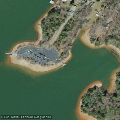
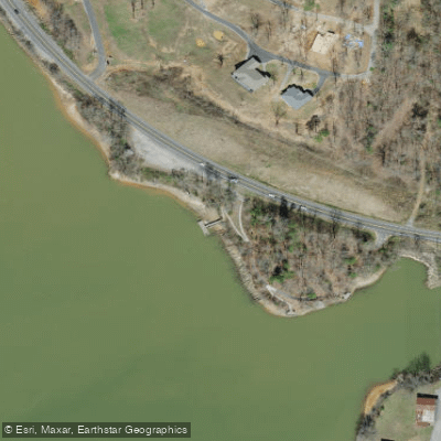
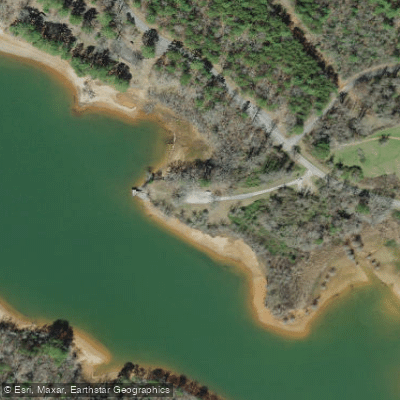
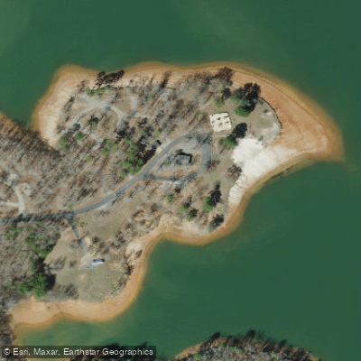
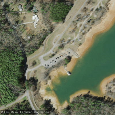
Learn how to get on Chatuge Lake. Uncover great paddling access points, boat ramps, and all the facilities you need for an unforgettable day on the water. Some locations shown may border or include private property. Always check property boundaries and applicable regulations before visiting. PaddleWays's Public & Private Land layer can help you plan your access with confidence.
Paddle smarter with real-time insights
Whether you're en route and conditions shift or you're looking for the best spot based on current flows, we enable you to make informed decisions on the fly.








Find Places to Paddle

Over 400,000 Places to Paddle
Every user gets free access to launch points, boat ramps, and public property parcels.


Water and weather conditions (10 day forecast)
See the best times to paddle Chatuge Lake and check the forecast before you go.
No forecast data available.
Paddling near Chatuge Lake
Tuckasegee River

Little Tennessee River
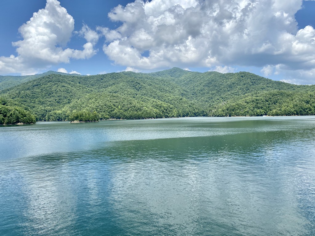
Fontana Lake
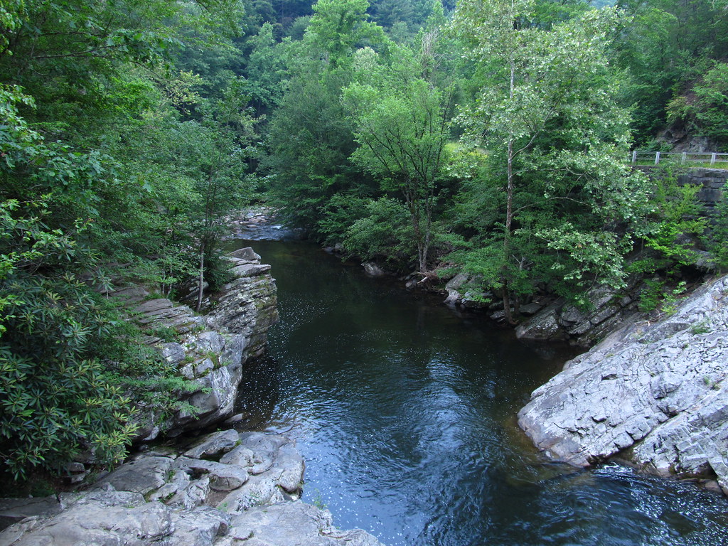
Little River
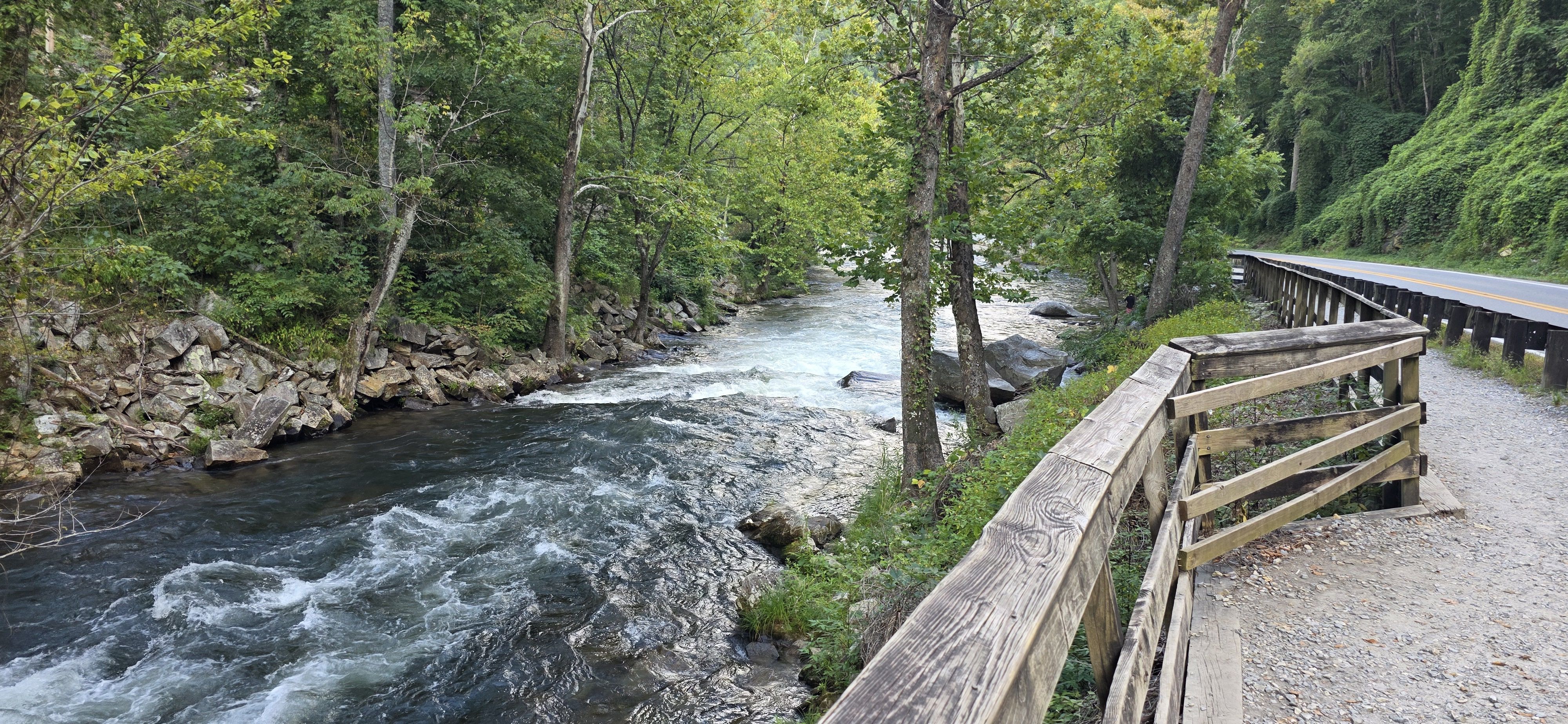
Nantahala River
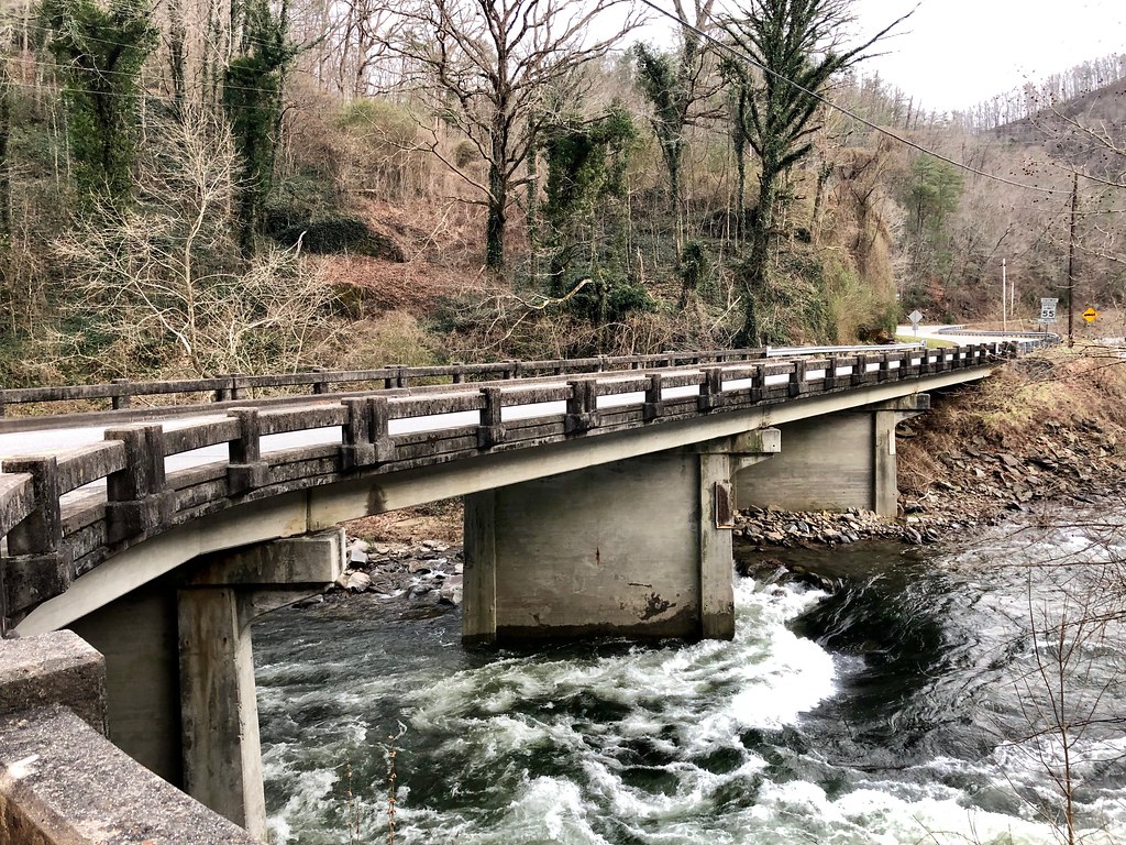
Cheoah River
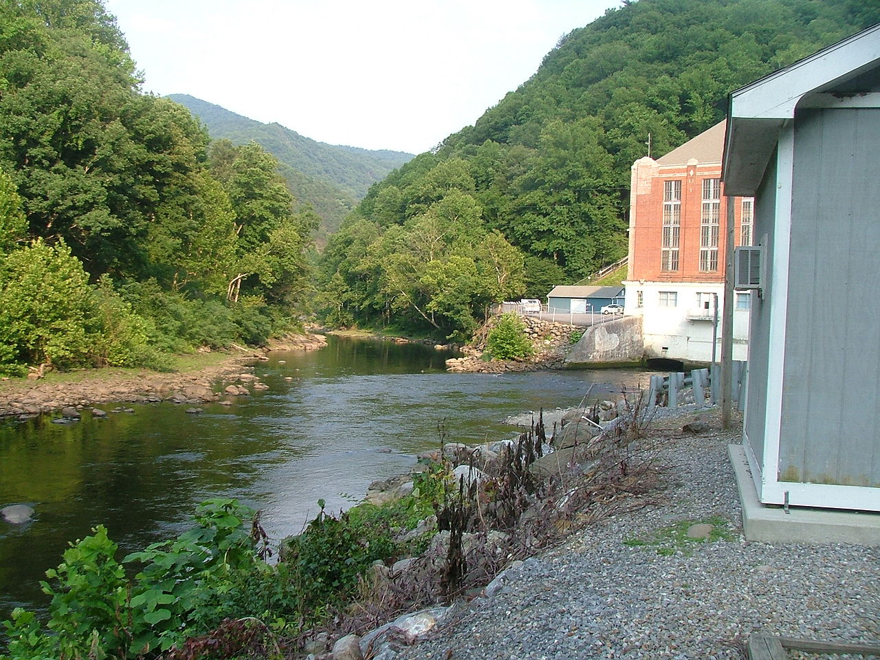
Pigeon River

French Broad River

Tennessee River
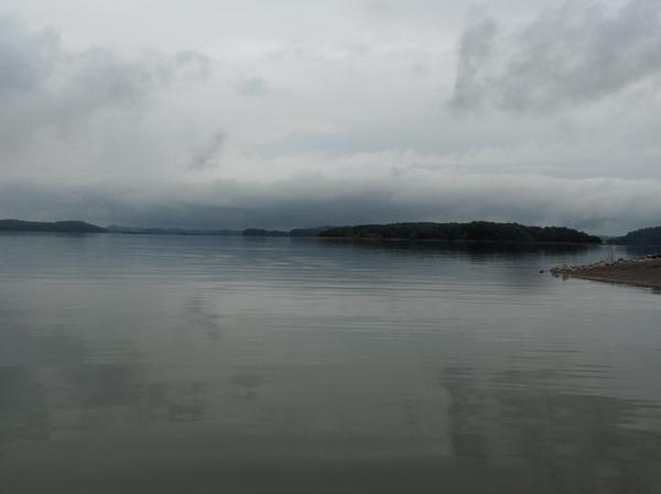
Douglas Lake
Explore North Carolina waters
Top paddling waters
Popular Cities
Loading popular cities...
Explore near Chatuge Lake
Access points
- Lake Chatuge Recreation Area Boat Ramp
- Chatuge Cove Marina Boat Ramp
- Jackrabbit Boat Ramp
- Towns County Park Boat Ramp
- Gibson Cove Boat Ramp
- The Ridges Resort & Marina Boat Ramp
- Mayor's Park Boat Ramp
- Boundary Waters Resort & Marina Boat Ramp
- Upper Chatuge Boat Ramp
- Ledfords Chapel Boat Ramp
- Chatuge Campground Boat Ramp
- Ledfords Chapel Access
- All 95 spots
Nearby waters
More in North Carolina

Smarter Paddling Starts in the App.
Paddleways gives you everything you need to plan smarter, paddle better, and own every trip from first launch to takeout.