North Landing River
- Saltwater
- Tidal river
North Landing River
- Saltwater
- Tidal river
- Sq. miles
- 22
- Boat Ramps
- 0
- Access Points
- 0
- Campsites
- 1
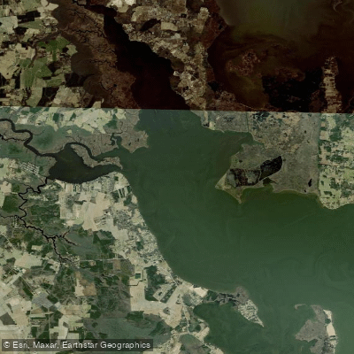
The North Landing River is a tidal river that winds through coastal wetlands from Hampton Roads, Virginia, down into North Carolina's Currituck Sound. As a designated state scenic river and a key segment of the Intracoastal Waterway, it experiences significant seasonal pleasure boat traffic traveling the east coast. For paddlers, the river's flat topography and location below the fall line mean there are no rapids or consistent downstream current; movement is instead governed by wind-driven tides which can push water upriver, sometimes making upstream and downstream directions unclear, especially when exploring marshy tributaries. This tidal nature allows for convenient out-and-back trips from a single launch point without requiring a vehicle shuttle. The river is brackish, with salinity increasing south of Munden Point and fluctuating with southerly winds that push saltwater up from the Sound.
Access is provided by several public boat ramps and canoe/kayak launch sites along the mainstem and its tributaries. Specific access points include the Dozier Bridge Kayak Launch on Princess Anne Road and a put-in on Blackwater Road over the Pocaty River, a tributary, where roadside parking is available. The North Landing River Natural Area Preserve, a large protected wetland area, has been closed for construction and staffing issues but is scheduled to reopen with a new parking lot, boardwalk, and a canoe/kayak launch by the end of 2026. Paddlers should be aware that part or all of this preserve may be periodically closed for resource protection.
The river's character is defined by extensive marshes and forested swamps, with numerous small tributary streams, particularly along the western shore, offering exploration away from main channel boat traffic. The surrounding land is largely owned by The Nature Conservancy and the state, protecting pocosins and freshwater tidal marshes that support rare plant and animal species. Wildlife sightings commonly include turtles, fish, birds, and snakes. Hazards include navigating around fallen trees and limbs in some tributary stretches and sharing the main channel with substantial boat traffic on the Intracoastal Waterway. The wind-driven tides and open marsh environment can also lead to disorientation and increased exposure to wind.
Water access, boat ramps & amenities
Learn how to get on North Landing River. Uncover great paddling access points, boat ramps, and all the facilities you need for an unforgettable day on the water. Some locations shown may border or include private property. Always check property boundaries and applicable regulations before visiting. PaddleWays's Public & Private Land layer can help you plan your access with confidence.
Paddle smarter with real-time insights
Whether you're en route and conditions shift or you're looking for the best spot based on current flows, we enable you to make informed decisions on the fly.








Find Places to Paddle

Over 400,000 Places to Paddle
Every user gets free access to launch points, boat ramps, and public property parcels.


Tides, wind & water conditions (10 day forecast)
On open water, wind and tide matter as much as the weather. See the best times to paddle North Landing River and check the marine forecast before you launch.
Loading tide predictions…
Paddling near North Landing River

James River
Back Bay
Stumpy Lake
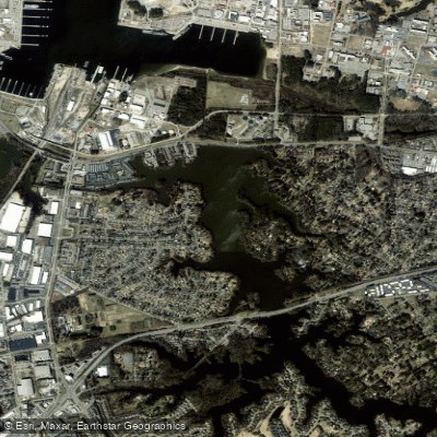
Little Creek Reservoir
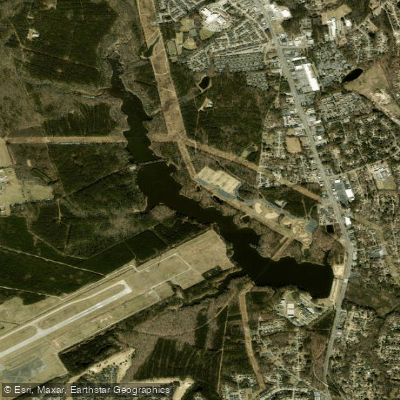
Harwoods Mill Reservoir
Lake Drummond
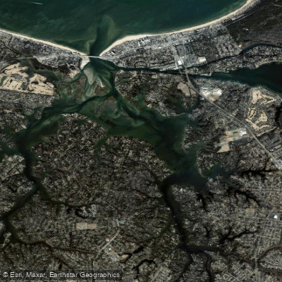
Lynnhaven Bay
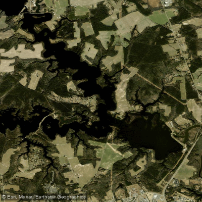
Western Branch Reservoir
Explore North Carolina waters
Top paddling waters
Popular Cities
Loading popular cities...
Explore near North Landing River
Access points
Nearby waters
More in North Carolina

Smarter Paddling Starts in the App.
Paddleways gives you everything you need to plan smarter, paddle better, and own every trip from first launch to takeout.