Rhodhiss Lake
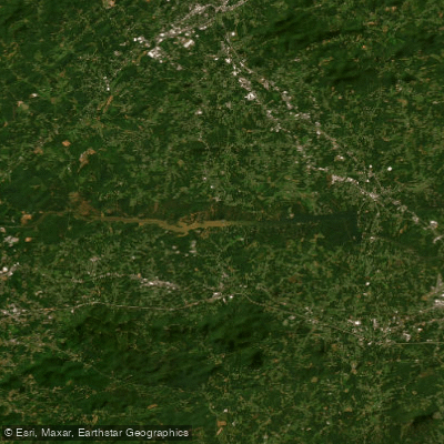
Rhodhiss Lake
- Boat Ramps
- 4
- Access Points
- 7
- Campsites
- 1
Lake Rhodhiss is a 3,060-acre reservoir located in Burke and Caldwell Counties of west central North Carolina. The lake features 90 miles of shoreline and reaches a maximum depth of 52 feet. Created in 1925 by Duke Energy, Rhodhiss Lake maintains a constant water level year-round, which is unusual compared to other lakes in the region.
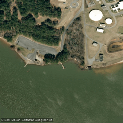
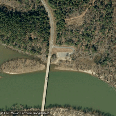
Paddlers can access the lake via four public boat launches, including Castle Bridge Boat Access and Rhodhiss Lake Boat Launch. The lake's calm waters and numerous inlets and coves make it ideal for kayaking and canoeing. While motorized boats are allowed, the lake typically experiences low to moderate boat traffic.
The forested shoreline and surrounding mountain views provide a scenic backdrop for paddling. Wildlife viewing opportunities include various fish species and birds. Largemouth bass, striped bass, crappie, and catfish are abundant in the lake's waters.
Water clarity is exceptionally good, with a sandy bottom contributing to its crystal blue appearance. The lake is suitable for swimming during summer months, though specific water temperatures vary seasonally.
Facilities for paddlers include picnic areas and restrooms at some access points. Nearby towns like Valdese and Lenoir offer additional amenities. Standard boating regulations apply on the lake.
While the lake allows various water activities, it's worth noting that skiing and tubing are prohibited on rental boats due to safety concerns. Paddlers should be aware of potential boat traffic, especially in the main channel.
The lake's constant water level, clear waters, and natural shoreline make it particularly attractive for paddling. Its location in the foothills of the Blue Ridge Mountains adds to the scenic appeal, offering a mix of mountain and lake views.
Water access, boat ramps & amenities
Learn how to get on Rhodhiss Lake. Uncover great paddling access points, boat ramps, and all the facilities you need for an unforgettable day on the water. Some locations shown may border or include private property. Always check property boundaries and applicable regulations before visiting. PaddleWays's Public & Private Land layer can help you plan your access with confidence.
Paddle smarter with real-time insights
Whether you're en route and conditions shift or you're looking for the best spot based on current flows, we enable you to make informed decisions on the fly.








Find Places to Paddle

Over 400,000 Places to Paddle
Every user gets free access to launch points, boat ramps, and public property parcels.


Water and weather conditions (10 day forecast)
See the best times to paddle Rhodhiss Lake and check the forecast before you go.
No forecast data available.
Paddling near Rhodhiss Lake
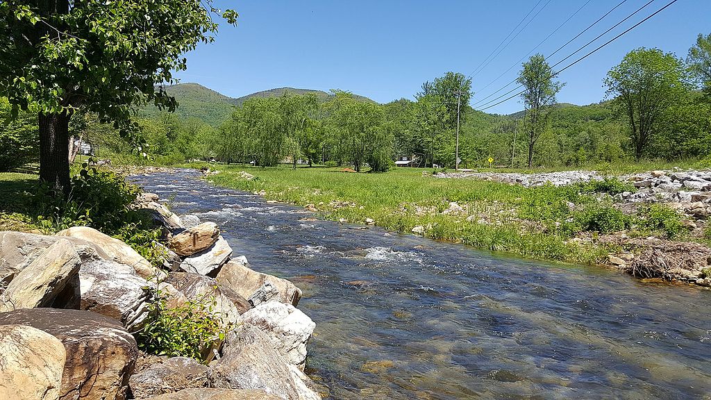
Catawba River
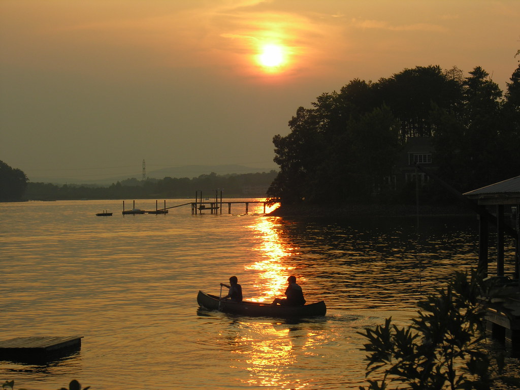
Lake Norman
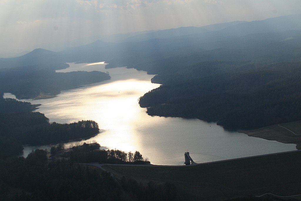
W Kerr Scott Reservoir
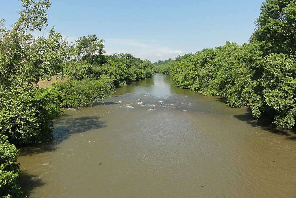
Yadkin River
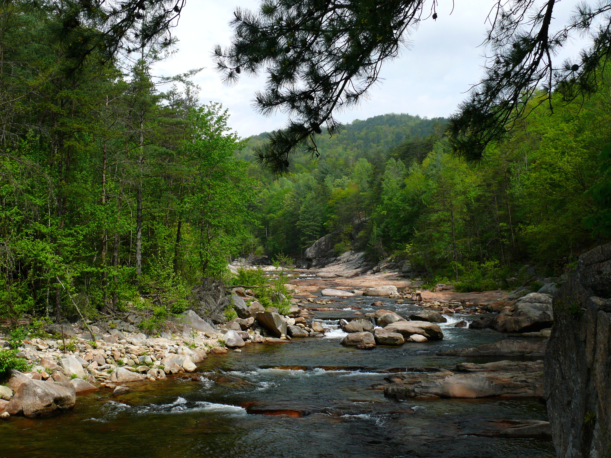
Wilson Creek
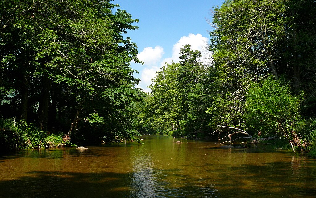
Watauga River

Broad River
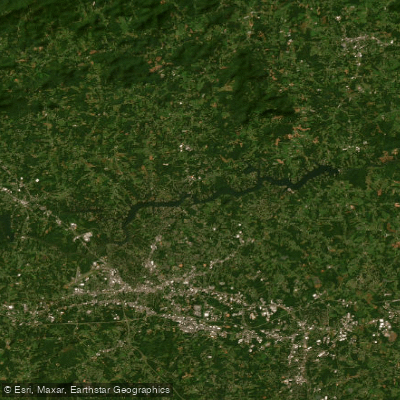
Lake Hickory
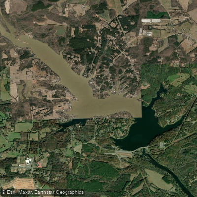
Lake Lookout
Explore North Carolina waters
Top paddling waters
Popular Cities
Loading popular cities...
Explore near Rhodhiss Lake
Access points
Nearby waters
More in North Carolina

Smarter Paddling Starts in the App.
Paddleways gives you everything you need to plan smarter, paddle better, and own every trip from first launch to takeout.