Little Muddy River
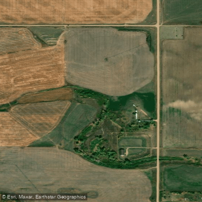
Little Muddy River
- Boat Ramps
- 1
- Access Points
- 4
- Campsites
- 0
The Little Missouri River originates in northeastern Wyoming near Devils Tower and flows northward through Montana before entering southwestern North Dakota. This meandering prairie river carves through the rugged badlands terrain, eventually joining the Missouri River in central North Dakota. The river's unique coloration comes from the sediment it carries from the eroded badlands landscape.
Paddling opportunities on the Little Missouri are concentrated within and around Theodore Roosevelt National Park. The river offers a remote wilderness experience through stunning badlands scenery, with difficulty ranging from flatwater to Class II rapids depending on water levels. May and June typically provide the best paddling conditions, as summer often brings low water levels that may require dragging boats through shallow sections.
The river's character can change dramatically and rapidly due to rainfall, transforming from a quiet stream to a raging torrent carrying debris. Paddlers should be prepared for challenging conditions and exercise caution, especially during thunderstorm season. Self-sufficiency is crucial in this isolated terrain.
Notable wildlife includes bison, wild horses, bighorn sheep, and various fish species like northern pike and catfish. The river corridor supports cottonwood forests and other riparian vegetation amidst the stark badlands topography.
Key paddling sections include: 1. Marmarth to Sully Creek State Park (117.5 miles) 2. Sully Creek to Medora (3 miles) 3. Medora to Cottonwood Campground (3.5 miles) 4. Cottonwood to Elkhorn Ranch (36 miles) 5. Elkhorn Ranch to Juniper Campground (62.4 miles) 6. Juniper to Highway 85 (5.6 miles) 7. Highway 85 to Highway 22 (40.5 miles)
Major access points include Marmarth, Medora, and the campgrounds within Theodore Roosevelt National Park. The Elkhorn Ranch site, Theodore Roosevelt's former ranch, is a significant historical landmark along the river.
Multi-day trips are possible, with the full 268.5-mile stretch from Marmarth to Highway 22 offering an epic badlands adventure for experienced paddlers. However, most visitors opt for shorter day trips or overnight excursions within the national park boundaries.
Paddlers must check current river levels and weather forecasts, as conditions can change rapidly. A river depth of at least 2.5 feet (699 cfs) at Medora is recommended for fair paddling conditions. All boaters should follow park regulations and practice Leave No Trace principles in this sensitive ecosystem.
Water access, boat ramps & amenities
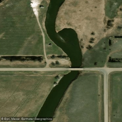
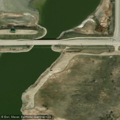
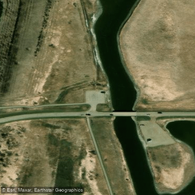
Learn how to get on Little Muddy River. Uncover great paddling access points, boat ramps, and all the facilities you need for an unforgettable day on the water. Some locations shown may border or include private property. Always check property boundaries and applicable regulations before visiting. PaddleWays's Public & Private Land layer can help you plan your access with confidence.
Paddle smarter with real-time insights
Whether you're en route and conditions shift or you're looking for the best spot based on current flows, we enable you to make informed decisions on the fly.








Find Places to Paddle

Over 400,000 Places to Paddle
Every user gets free access to launch points, boat ramps, and public property parcels.


Water and weather conditions (10 day forecast)
See the best times to paddle Little Muddy River and check the forecast before you go.
LITTLE MUDDY RIVER BL COW CREEK NR WILLISTON, ND
Paddling near Little Muddy River
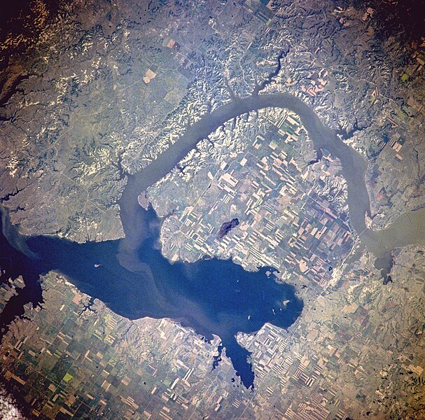
Lake Sakakawea

Missouri River
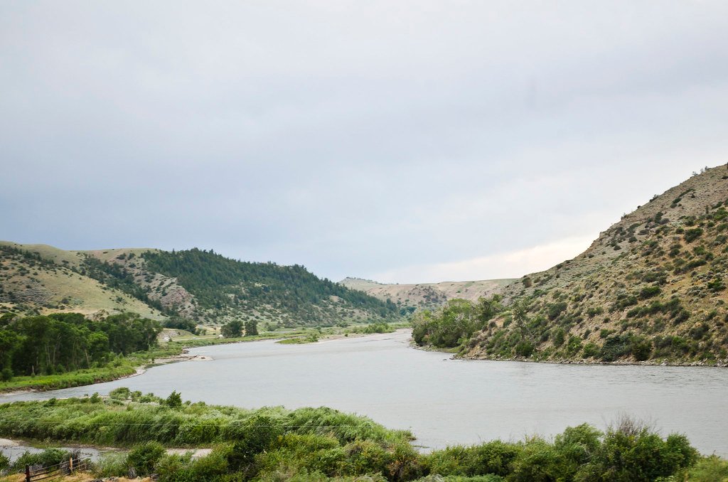
Yellowstone River
Epping Dam
Blacktail Lake
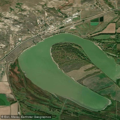
Lake Trenton
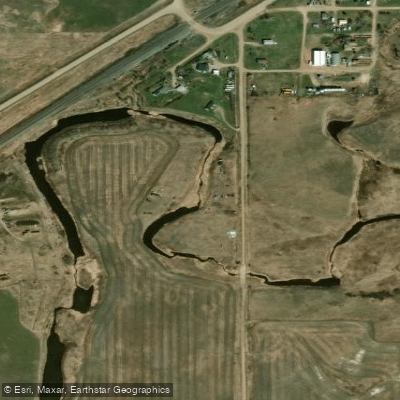
Stony Creek

Cottonwood Lake
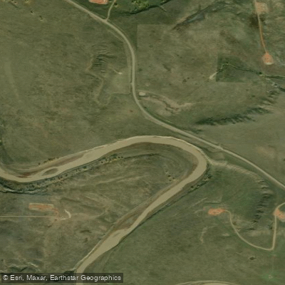
Little Missouri River
Explore North Dakota waters
Top paddling waters
Popular Cities
Loading popular cities...
Explore near Little Muddy River
Access points
- Little Muddy River Boat Ramp
- Little Muddy River - Shore Fishing Access
- Little Muddy River Access
- Little Muddy River - Shore Fishing Access
- Little Muddy River Bridge
- Little Muddy River Bridge
- Little Muddy River Bridge
- Little Muddy River Bridge
- Little Muddy River Bridge
- Little Muddy River Bridge
- Little Muddy River Bridge
- Little Muddy River Bridge
- All 40 spots
Nearby waters
More in North Dakota

Smarter Paddling Starts in the App.
Paddleways gives you everything you need to plan smarter, paddle better, and own every trip from first launch to takeout.